Disclosure : This site contains affiliate links to products. We may receive a commission for purchases made through these links.
China ITMB
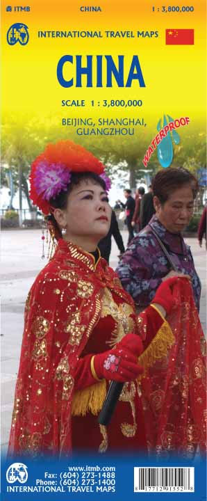
Large double-sided map of China including Taiwan, with Hai Nam in an inset. Elevation tinting in pastel shades shows the general relief, and selected mountain peak altitudes are marked. The map shows China`s provincial boundaries, and symbols for cities classify them according to population size. Road detail distinguishes, expressways, state highways and provincial highways and includes some lower order connecting routes. Intermediate driving distances are indicated on many routes. Main railways and the Great Wall are included and symbols depict ports, airports, passes, locations of interest, ruins, nature reserves and forest parks. Other detail includes swamps, sand expanses, glaciers, salt water lakes, salt pans and the Great Wall. Latitude and longitude lines are drawn at 2 degree intervals. Coverage divides the country into east a west sections with a generous overlap.All text is in roman script only.The map includes an index of place names. A plan of central Beijing is provided in an inset. This is not indexed but indicates many landmarks, sites of interest and tourist facilities eg. hospitals, the tourist information office, places of worship and selected hotels.

Related Products:
 China East ITMB
 Shanghai & China South East ITMB
 China North-East Wall Map
 China South ITMB
 China Central Wall Map
 China Gizi Map Administrative Wall Map
 China West ITMB
 China – Mongolia
 Guangzhou & China South ITMB
 China South Wall Map
 China Administrative Gizi Map
 China Gizi Map Geographical Wall Map
 China Central Gizi Map
 China South Gizi Map
 China Reise Know-How
 China West Reise Know-How
 China North-West Wall Map
China: ITMB Regional Maps
China North-West Wall Map
China: ITMB Regional Maps
 China East – North and South Korea Reise Know-How
 Korea South & North ITMB
 Mongolia ITMB
 China Northeast Gizi Map
 Algeria ITMB
 Panama ITMB
 Mexico Pacific Coast & Guadalajara ITMB
 China South Central
 Mexico Central & Mexico City ITMB
 China Northwest Gizi Map
 Southern Quebec ITMB
 China East Adventure Map
 Los Angeles & Southern California ITMB
 Iraq & Baghdad ITMB
 Ming`s Adventure on the Great Wall of China
 China NGS Classic Wall Map PAPER
 Southern Ontario ITMB
 Mexico Pacific & Guadalajara ITMB
 Mali ITMB
 See Inside Ancient China