Disclosure : This site contains affiliate links to products. We may receive a commission for purchases made through these links.
China East – North and South Korea Reise Know-How
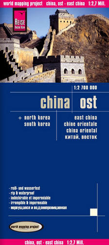
Eastern China at 1:2,700,000 on light, waterproof and tear-resistant plastic paper, with both topographic and tourist information. The map, part of Reise Know-How`s highly acclaimed “World Mapping Project”, is double-sided, to provide the best balance between a good scale and a convenient size sheet. Place names of larger towns are shown both transliterated and in the Chinese script; all other names are in the Latin alphabet only. Coverage includes North and South Korea.Topography is indicated by altitude colouring with spot heights and names of mountain ranges, hills and deserts. Salt lakes, swamps, seasonal rivers and glacier are also shown. Detailed presentation of the road network includes minor roads and tracks. The map also shows the rail network and local airports. Administrative units are shown with their boundaries and names. National parks and other protected areas are highlighted. A wide range of symbols mark various places of interest including the Great Wall of China, UNESCO world heritage sites, temples, museums, spas and hot springs, etc. Latitude and longitude lines are drawn at 2ยบ intervals. The map is indexed and its map legend includes English. To see the other titles in this series please click on the series link.

Related Products:
 China West Reise Know-How
 China Reise Know-How
 China North East Nelles Map
 China North East
 China: Reise Know-How Road Maps
 Canada East Reise Know-How
 List of Lights Vol p – North part of South China & Eastern Archipelagic Seas, plus Western part of East China, Philippine & Yellow Sea, including Taiwan
 USA North-Eastern: Maine to WashingtoN DC (CT, DE, ME, MD, MA, NH, NJ, NY, OH, PA, RI, VT, WV) Reise-Know-How Map
 Tibet Reise Know-How
 Lesser Sunda Islands – Bali to East Timor Reise Know-How
 Vietnam North Reise Know-How
 China South Gizi Map
 China North-East Wall Map
 Korea North and South Nelles
 USA North – ID, MT, NE, ND, SD, WY Reise Know-How
 Andalusia Reise Know-How
 China South Wall Map
 China East ITMB
 China South Central
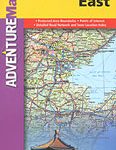 China East Adventure Map
 Korea South & North ITMB
 Middle East Reise-Know-How Map
 Shanghai & China South East ITMB
 Mallorca East Reise Know-How
 USA South-Central: Kansas – Oklahoma – Texas Reise-Know-How Map
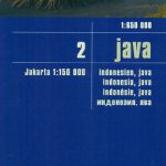 Java Reise Know-How
 China Northeast Gizi Map
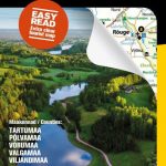 Estonia South-East Regio Map
 Vietnam South Reise Know-How
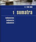 Sumatra Reise-Know-How Map
 New Zealand – North Island Reise Know-How
 Estonia North-East Regio Map
 New Zealand – South Island Reise Know-How
 Alaska Reise Know-How
 Poland North Reise Know-How
 South Africa Reise Know-How
 USA Southeast Reise Know-How
 China Adventure Map