Disclosure : This site contains affiliate links to products. We may receive a commission for purchases made through these links.
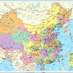
China Central Wall Map

Central China Wall Map at 1:2,000,000 from Gizi Map, size 124 x 88cm (49″ x 34.5″ approx), with attractive presentation of the region’s varied topography, tourist sights including the Great Wall, and coverage from Shenyang to Shanghai.Bold altitude colouring with plenty of names of mountain ranges and other geographical features, peak heights, etc, provides an excellent picture of the region’s geography. Names of main towns are also given in Chinese script and, where appropriate, with local alternatives. The map shows the region’s road and rail networks, with intermediate driving distances marked on many routes. Also marked are provincial boundaries with names of the provinces. The map shows both the Great Wall of China and the Wall of Genghis Khan, and symbols highlight various places of interest. Latitude and longitude lines are drawn at 1ยฐ intervals. The index is on the reverse side. Multilingual legend includes English.Please note: this title is part of Gizi Map’s coverage of China at 1:2,000,000, available both as folded maps and as wall maps ‘“ to see the full list of the titles and the exact coverage by each map please click on the series link.

Related Products:
 China North-East Wall Map
 China Central Gizi Map
 China North-West Wall Map
 China Gizi Map Geographical Wall Map
 China South Wall Map
 China Gizi Map Administrative Wall Map
 China South Gizi Map
 Central Asia Road Edition Wall Map
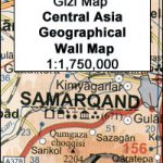 Central Asia Geographical Edition Wall Map
 China Northwest Gizi Map
 Tibet Road Edition Wall Map
 Tibet Geographical Edition Wall Map
 China Northeast Gizi Map
 China Administrative Gizi Map
 China South ITMB
 China Administrative Wall Map
 China ITMB
 Central Asia Geographical Edition Gizi Map
 China NGS Executive Wall Map ENCAPSULATED
 China South Central
 China NGS Classic Wall Map PAPER
 Tibet Gizi Road Map
 Tibet Gizi Map
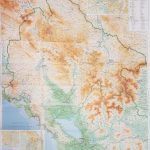 Montenegro & North Albania Gizi Wall Map
 Afghanistan – Kabul & 5 Cities Street Plans Gizi Wall Map
 China NGS Classic Wall Map ENCAPSULATED
 Tajikistan – The Pamirs Gizi Map Wall Map
 Uzbekistan Gizi Map Wall Map
 China: GiziMap Regional Maps
 Ming`s Adventure on the Great Wall of China
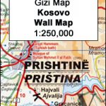 Kosovo Gizi Wall Map
New Zealand Wall Map
Kosovo Gizi Wall Map
New Zealand Wall Map
 Somalia Wall Map
 Caucasus Geographical Edition Wall Map
 Yemen – Gulf of Aden Wall Map
 Caucasus Road Edition Wall Map
Turkmenistan Gizi Wall Map
Caucasus Road Edition Wall Map
Turkmenistan Gizi Wall Map
 Central Asia (Road Edition)
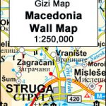 Macedonia Wall Map