Disclosure : This site contains affiliate links to products. We may receive a commission for purchases made through these links.
China Administrative Wall Map
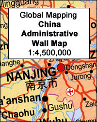
China at 1:4,500,000 on a large administrative wall map, size 135cm x 95cm (53″ x 37.5″ approx), from Global Mapping showing provinces in different colours. An additional panel provides more information about each province.Names of the provinces and of the provincial capitals are shown in both Chinese and Latin alphabet; all other place names are given only transliterated. Towns are graded according to their population. The map shows the network of principal road and railway connections and indicates domestic airports. Topography is shown by subtle relief shading with names of main geographical features: mountain ranges, peaks, deserts, etc. Latitude and longitude lines are drawn at 5ยฐ intervals.Additional panel lists the administrative units indicating their status (province, autonomous region, etc), population (in 2010) and the capital.

Related Products:
 The People`s Republic of China Administrative Map
 China Gizi Map Administrative Wall Map
 China Gizi Map Geographical Wall Map
 China Administrative Gizi Map
 Spain CNIG Administrative Wall Map
 China NGS Classic Wall Map PAPER
 Spain Autonomous Regions CNIG Wall Map
 China South Wall Map
 Spain: CNIG Road Maps of Autonomous Administrative Regions
 China North East Nelles Map
 China Central Wall Map
 China NGS Classic Wall Map ENCAPSULATED
 China North-East Wall Map
 China – Mongolia – Taiwan F&B
 China NGS Executive Wall Map ENCAPSULATED
 China North-West Wall Map
 Iran Wall Map
 South America Global Mapping Political Wall Map PAPER
 South East Asia Global Mapping Political Wall Map PAPER
 Morocco Wall Map
 World NGS Explorer Wall Map PAPER
 China South Gizi Map
 China North East
 Switzerland K+F Administrative Map
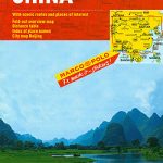 China Marco Polo Map
 Algeria Road Edition Wall Map
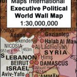 World Maps International Executive Political Wall Map
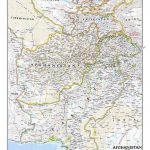 Afghanistan and Pakistan NGS Classic Wall Map PAPER
 China: GiziMap Regional Maps
Spain CNIG Physical Wall Map
China: GiziMap Regional Maps
Spain CNIG Physical Wall Map
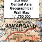 Central Asia Geographical Edition Wall Map
 China Central Gizi Map
 World: Global Mapping Political Wall Maps
 China Northeast Gizi Map
World Global Mapping Political Wall Map LARGE PAPER
China Northeast Gizi Map
World Global Mapping Political Wall Map LARGE PAPER
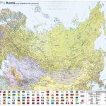 Russia and the Neighbouring Countries Wall Map
 Central Asia Road Edition Wall Map