Disclosure : This site contains affiliate links to products. We may receive a commission for purchases made through these links.
Chile ITMB
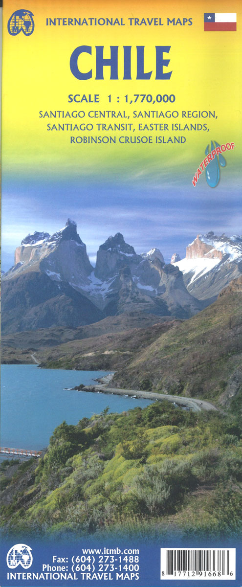
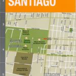
Chile at 1:1,750,000 on a double-sided indexed map from ITMB printed on light, waterproof and tear-resistant plastic paper, with a large clear plan of central Santiago and an enlargement for its environs, a plan of Ushuaia, etc. The map divides the country into four overlapping and separately indexed panels. On one side are the two northern panels with coverage extending south beyond Concepcion to Los Angeles. Also included here is a large, clear and well designed street plan of central Santiago, a diagram of the metro system, plus an enlargement showing the capital’s region in greater detail.On the reverse is the southern part of Chile, with the whole of Tierra del Fuego, a street plan of central Ushuaia, Robinson Crusoe Island, plus the south-western part of Easter Island at 1:38,000.The main map has altitude colouring (in feet) with peak heights given in metres. The map shows the country’s road network including selected tracks, railways, shipping routes along the Patagonian fjords, and local airports. Symbols mark various places of interest including campsites, beaches, etc. Latitude and longitude lines are drawn at 1ยบ intervals. Each panel has a separate index.The two street plans highlight various places of interest, including selected accommodation. On the Santiago plan metro stations are clearly marked and one way streets indicated.


