Disclosure : This site contains affiliate links to products. We may receive a commission for purchases made through these links.
Chianti
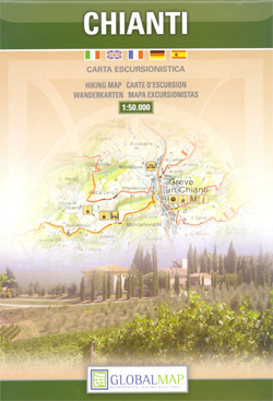
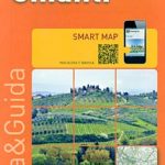
Chianti, the region between Florence and Siena, on a detailed contoured map at 1:50,000 from Litografia Artistica Cartografica, overprinted with numerous hiking routes and highlighting various places of interest. Coverage extends from Tavarnelle Val di Pesa and Poggibonsi in the east to San Giovanni Valdarno and Castelnuovo Berardegna in the west.Topography is shown by contours at 25m intervals enhanced by subtle relief shading and colouring for woodlands. Nature reserves and other protected areas are highlighted. Road network includes local cart tracks and paths, and railway lines are shown with stations. In rural areas isolated individual buildings are marked.An overprint highlights numerous hiking routes indicating, where appropriate, their official waymarking numbers. Icons show various places of interest, including campsites and caravan parks, tourist information offices, archaeological sites, castles, churches and monasteries, museums, historic gardens, etc. The map has no geographical coordinates. Map legend includes English.


