Disclosure : This site contains affiliate links to products. We may receive a commission for purchases made through these links.
Chesapeake
Related Products:
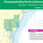 Reg 5.1 Chesapeake Bay & Delaware Bay
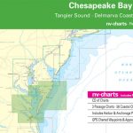 Reg 5.2 Chesapeake Bay South
 Moon Chesapeake Bay
 Waterway Guide Chesapeake Bay 2021
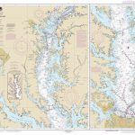 NOAA Chart 12280 – Chesapeake Bay
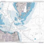 Admiralty Chart 2919 – Chesapeake Bay Entrance
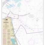 NOAA Chart 12208 – Approaches to Chesapeake Bay
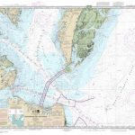 NOAA Chart 12221 – Chesapeake Bay Entrance
 NOAA Chart 12274 – Head of Chesapeake Bay
 NOAA Chart 12277 – Chesapeake and Delaware Canal
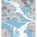 Admiralty Chart 2850 – Chesapeake Bay Approaches to Baltimore
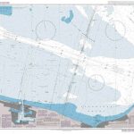 Admiralty Chart 2829 – Chesapeake Bay, Lynnhaven Roads
 NOAA Chart 12228 – Chesapeake Bay’”Pocomoke and Tangier Sounds
 NOAA Chart 12256 – Chesapeake Bay’”Thimble Shoal Channel
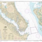 NOAA Chart 12264 – Chesapeake Bay’”Patuxent River and Vicinity
 NOAA Chart 12278 – Chesapeake Bay’”Approaches to Baltimore Harbor
 NOAA Chart 12282 – Chesapeake Bay’”Severn and Magothy Rivers
 NOAA Chart 12222 – Chesapeake Bay’”Cape Charles to Norfolk Harbor
 NOAA Chart 12224 – Chesapeake Bay’”Cape Charles to Wolf Trap
 NOAA Chart 12225 – Chesapeake Bay’”Wolf Trap to Smith Point
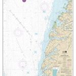 NOAA Chart 12226 – Chesapeake Bay’”Wolf Trap to Pungoteague Creek
 NOAA Chart 12231 – Chesapeake Bay’”Tangier Sound (northern part)
 NOAA Chart 12233 – Potomac River’”Chesapeake Bay to Piney Point
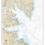 NOAA Chart 12238 – Chesapeake Bay’”Mobjack Bay and York River Entrance
 NOAA Chart 12266 – Chesapeake Bay’”Choptank River and Herring Bay – Cambridge
 NOAA Chart 12270 – Chesapeake Bay’”Eastern Bay and South River – Selby Bay
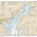 NOAA Chart 12273 – Chesapeake Bay’”Sandy Point to Susquehanna River
 Admiralty Chart 2922 – Chesapeake and Delaware Canal and the Northern Approaches to Baltimore
 NOAA Chart 12254 – Chesapeake Bay’”Cape Henry to Thimble Shoal Light
 NOAA Chart 12261 – Chesapeake Bay’”Honga, Nanticoke, Wicomico Rivers & Fishing Bay
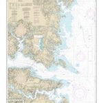 NOAA Chart 12235 – Chesapeake Bay’”Rappahannock River Entrance, Piankatank and Great Wicomico Rivers
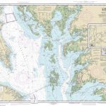 NOAA Chart 12230 – Chesapeake Bay’”Smith Point to Cove Point
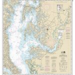 NOAA Chart 12263 – Chesapeake Bay’”Cove Point to Sandy Point
 Explorer`s Guide 50 Hikes in Northern Virginia: Walks, Hikes, and Backpacks from the Allegheny Mountains to Chesapeake Bay
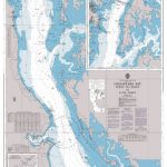 Admiralty Chart 2921 – Chesapeake Bay Point No Point to Love Point
 Admiralty Chart 2920 – Chesapeake Bay New Point Comfort to Point No Point


