Disclosure : This site contains affiliate links to products. We may receive a commission for purchases made through these links.
Chemin de Stevenson GR70 IGN 89023
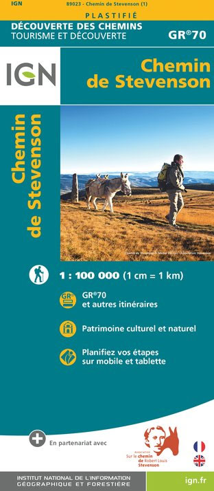
Robert Louis Stevenson’s and his donkey Modestine’s trail from the ‘Travels with a Donkey in the Cevennes”, now the GR70 long-distance hiking route, presented at 1:100,000 on a waterproof and tear-resistant map from IGN with cartography from their highly popular TOP100 series. Coverage starts in Le Puy-en-Velay along the GR3/GR43 and continues along the GR70 from Le Monastier-sur-Gazeille across Lagogne, Le Blemeyard, Mont Lozรจre and Florac to St-Jean-du-Gard, and then westwards along the GR44A to Alรจs.The route is prominently highlighted on contoured mapping and annotated with hiking distances, ‘Relais Stevenson” accommodation and locations for hiring a donkey. Symbols across the whole area covered by the map also show refuges, gรฎtes-d’etape, sport and recreational facilities, cultural heritages, etc. The map has no geographical coordinates for GPS. Also provided are a route profile and plus notes about the author and the history of the trail, illustrated with colour photos. Map legend and the text include English.To see the list of titles in this new series begun by IGN in spring 2016 please click on the series link.


