Disclosure : This site contains affiliate links to products. We may receive a commission for purchases made through these links.
Chelsea NYC – High Line – Hudson Yards – West Village – Meatpacking District Red Maps
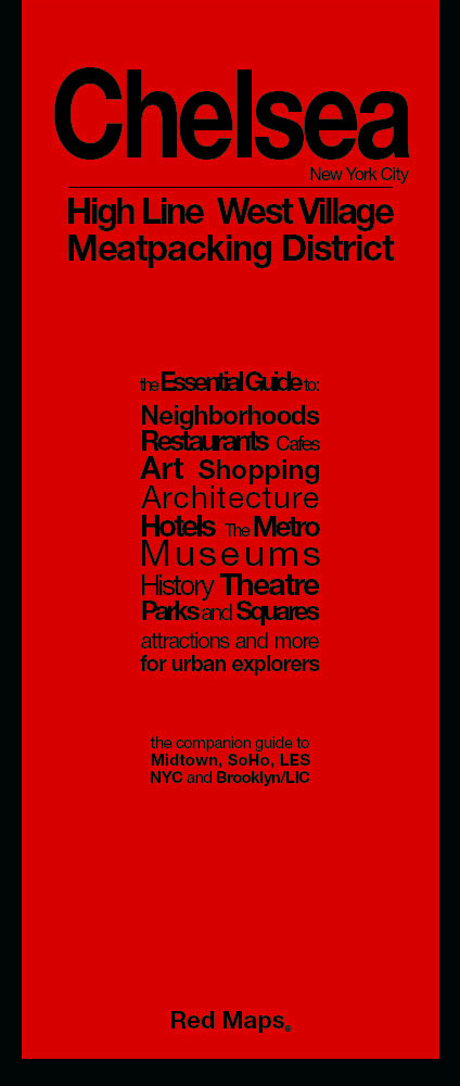
The Chelsea district of Manhattan, including the Meatpacking District and the West Village on a very detailed street plan from Red Maps in a handy concertina format, presenting each block with names of individual shops, restaurants, hotels, cultural institutions and entertainment venues, etc.The plan covers Manhattan roughly between the Pennsylvania Station and Hudson River Park, with part of the Greenwich Village west of Sixth Avenue.Each block is divided into individual buildings and where appropriate shows names of shops, restaurants, hotels, etc, all colour-coded for easier identification. Subway stations and connections are very clearly indicated.On the reverse are district-by-district thematic, colour-coded lists of various types of shops, art galleries, restaurants and cafes, etc.Red Maps also produce three other plans of Manhattan: most of the borough including Haarlem and more detailed maps of Midtown and SoHo, plus a plan of Brooklyn.To see other street plans from Red Maps with similar presentation please click on the series link.

Related Products:
 New York City – SoHo – NoLita – Little Italy Red Maps
 New York City – Midtown Red Maps
 New York City Red Maps
 Chicago Red Maps
 Los Angeles Red Maps
 Miami – South Beach Red Maps
 Washington DC Red Maps
 New Zealand: Kiwimaps District Road Maps with Street Plans
 New York City – Brooklyn – Long Island City Red Maps
 Boston Red Maps
 San Francisco Red Maps
 Philadelphia Red Maps
 Madrid and Seville Red Maps
 Manhattan Borch
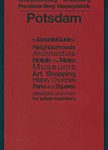 Berlin – Potsdam Red Maps
 Rome Red Maps
 Amsterdam Red Maps
 Manhattan Block-by-Block Street Atlas
 Great Britain: CroydeCycle Local Walking Maps of the West Country
 Barcelona Red Maps
 Florence Red Maps
 Milan Red Maps
 Paris Red Maps
 Sedgley South-East with Swan Village and West Coseley 1901
 Kyoto & Japan West ITMB
 London Red Maps
 Dublin Red Maps
 Australia: UBD Gregory`s Street Maps and Directories
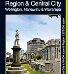 Wellington City and District Pathfinder
 Chelsea & West Brompton 1894 – 87.2
 Hollywood CA Global Graphics detailed Street Map
 Waikato Towns and District Pathfinder
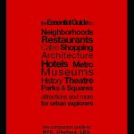
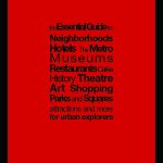
 Red Maps Street Plans
The Peak District Sustrans Cycle Map 26 – Trans Pennine Trail – Tissington Trail – High Peak Trail
Red Maps Street Plans
The Peak District Sustrans Cycle Map 26 – Trans Pennine Trail – Tissington Trail – High Peak Trail
 Manhattan Busses and Streets Map
 Venice Red Maps
 Vienna Red Maps
 Bishkek Street Plan
 Scrambles in the Lake District – South: Langdale, Coniston, Eskdale, Patterdale & High Street