Disclosure : This site contains affiliate links to products. We may receive a commission for purchases made through these links.
Cheetham & Higher Broughton 1915 – 104.02b
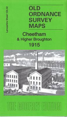
Cheetham and Higher Broughton in 1915 in a fascinating series of reproductions of old Ordnance Survey plans in the Alan Godfrey Editions, ideal for anyone interested in the history of their neighbourhood or family. Three versions of this map have been published, covering Cheetham, Higher Broughton and High Town area north of Manchester. Coverage stretches from Broughton Lane and Derby Street northward to Tetlow Lane and Heath Street, and from the River Irwell eastward to Cheetham Hill.Features include Albert Park, Cromwell Bridge, Broughton Town Hall, Kersal Dale, St John`s church Broughton, Mandley Park, Fairy Lane Brickworks, St James church, St Alban`s church, Cheetham Park, St John`s church Cheetham, Oakhill Home, Broughton Street Brickworks, The Cliff, football ground (Broughton Rangers and today Manchester United`s training ground), etc. Bury New Road and Waterloo Road run through the map. On the reverse are selections of street directory entries.About the Alan Godfrey Editions of the 25″ OS Series:Selected towns in Great Britain and Ireland are covered by maps showing the extent of urban development in the last decades of the 19th and early 20th century. The plans have been taken from the Ordnance Survey mapping and reprinted at about 15 inches to one mile (1:4,340). On the reverse most maps have historical notes and many also include extracts from contemporary directories. Most maps cover about one mile (1.6kms) north/south, one and a half miles (2.4kms) across; adjoining sheets can be combined to provide wider coverage.FOR MORE INFORMATION AND A COMPLETE LIST OF ALL AVAILABLE TITLES PLEASE CLICK ON THE SERIES LINK.

Related Products:
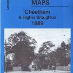 Cheetham & Higher Broughton 1889 – 104.02a
 Manchester North West and Central Salford 1915
New Broughton and Stansty Hall 1909
Newton Heath 1915
Manchester North West and Central Salford 1915
New Broughton and Stansty Hall 1909
Newton Heath 1915
 Wanstead 1915 – 24.3
 Goodmayes and Seven Kings 1915
 Hampstead 1915 – 27.3
Manchester South-East 1915
Hampstead 1915 – 27.3
Manchester South-East 1915
 Pendleton North 1915
Hornchurch 1915 – 79.15
Victoria Park 1889
Stanley 1915
Pendleton North 1915
Hornchurch 1915 – 79.15
Victoria Park 1889
Stanley 1915
 Highams Park and Hale End 1915 – 78.01
Leeds Central and North East 1890
Highams Park and Hale End 1915 – 78.01
Leeds Central and North East 1890
 Central Leeds 1906 – 218.02b
 Altrincham 1908
 Leytonstone & Leyton 1915 – 23.3
Central Croydon 1895 – 14.10
Leytonstone & Leyton 1915 – 23.3
Central Croydon 1895 – 14.10
 Bromley North and Sundridge Park 1895
Anfield 1908 – 106.07b
East Ham & Barking 1915 – 44.3
Bromley North and Sundridge Park 1895
Anfield 1908 – 106.07b
East Ham & Barking 1915 – 44.3
 Handsworth 1913
Sheffield Park 1903
Attercliffe 1903 – 295.01a
March Station 1900
Handsworth 1913
Sheffield Park 1903
Attercliffe 1903 – 295.01a
March Station 1900
 Knotty Ash and Old Swan 1906
 Hackney 1870 – 41.1
Hackney 1913 – 41.3
Hackney 1870 – 41.1
Hackney 1913 – 41.3
 Hackney 1893 – 41.2
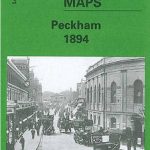 Peckham 1894 – 103.2
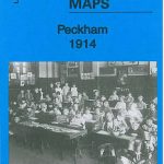 Peckham 1914 – 103.3
Peckham 1871 – 103.1
Peckham 1914 – 103.3
Peckham 1871 – 103.1
 Ealing 1913
Sheffield (West) 1903 – 294.07b
Willesden and Stonebridge Park 1936
Luton 1922 – 33.05
Chipping Ongar 1915
Ealing 1913
Sheffield (West) 1903 – 294.07b
Willesden and Stonebridge Park 1936
Luton 1922 – 33.05
Chipping Ongar 1915
 Wavertree and Broad Green 1905
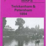 Twickenham & Petersham 1894 – 122
 Old Trafford 1915