Disclosure : This site contains affiliate links to products. We may receive a commission for purchases made through these links.
Central USA & the Mississippi River ITMB
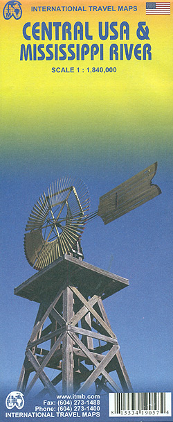
Central USA and the Mississippi River on a double-side indexed road map at 1:1,840,000 from ITMB showing the course of Mississippi and Missouri across from the northern states to the Mississippi Delta .The map is double-sided, with a generous overlap between the sides. Its northern side, extending from the Canadian border to Denver, stretches from central Montana and Wyoming to Chicago. The southern part, from Omaha to the Delta extends roughly from the Tennessee/Alabama border westward to well beyond Oklahoma City and Denver.The map shows the region’s road network, highlighting interstate freeways and indicating toll highways. Driving distances are shown on many local routes. Railway lines are included and local airports are marked. The map indicates various places of interest and shows national parks and other protected areas, Indian Lands etc. Topography is shown by altitude colouring. Latitude and longitude lines are drawn at 1ยฐ intervals. Each side has a separate index.To see other regional titles from ITMB covering USA please click on the series link.


