Category Archives: World Music
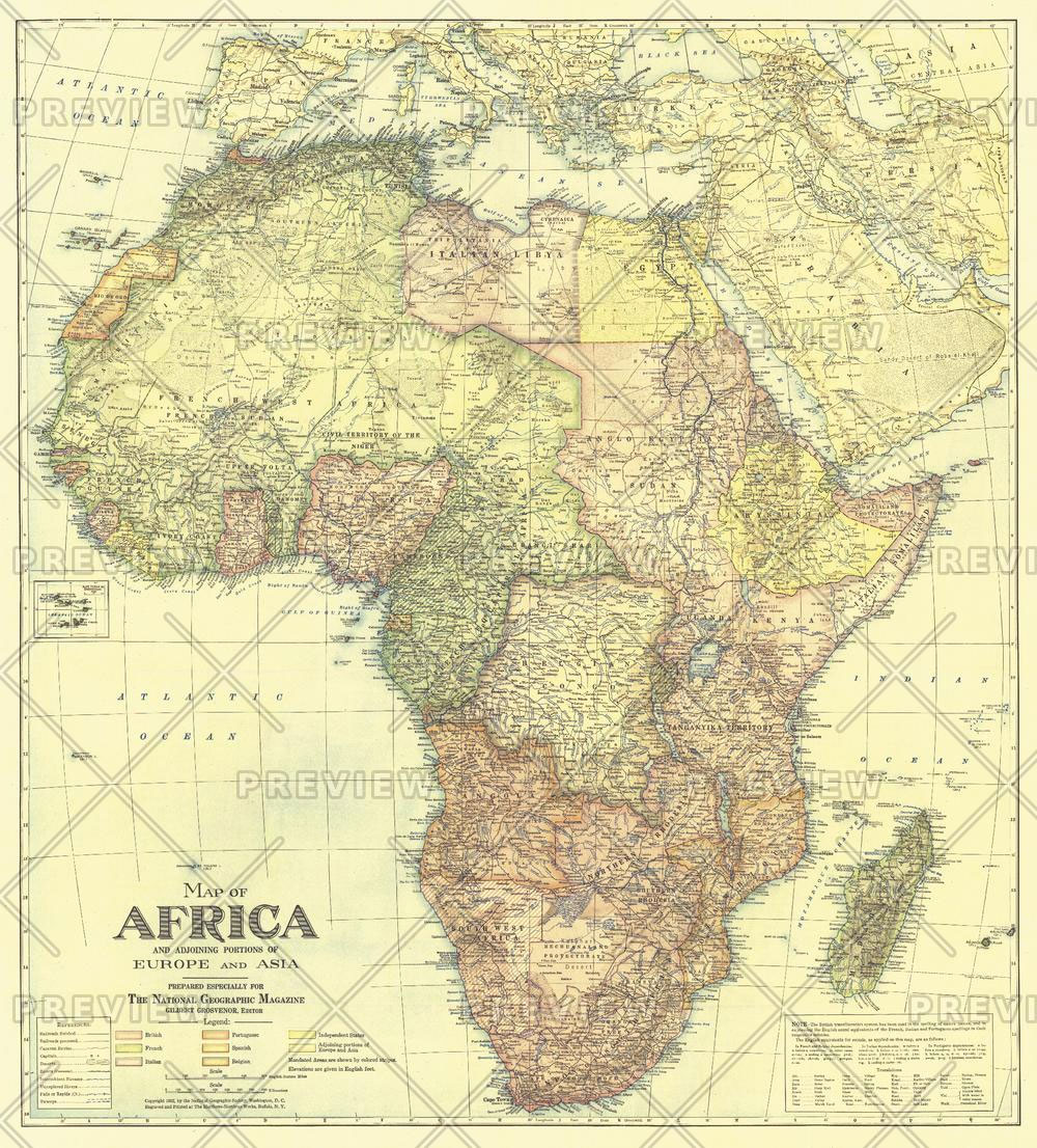
National Geographic Africa Map with portions of Europe and Asia – Published 1922 721 x 798 mm
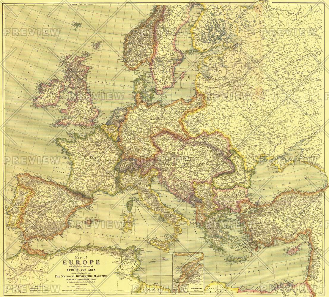
National Geographic Europe Map with Africa and Asia – Published 1915 796 x 719 mm
Admiralty Chart 263 – Port of Djibouti

Admiralty standard nautical charts comply with Safety of Life at Sea (SOLAS) regulations and are ideal for professional, commercial and recreational use. Charts within the series consist of a range of scales, useful for passage planning, ocean crossings, coastal navigation and entering port.Standard Admiralty charts are folded to fit in a chart table drawer. If
The Mammal Guide of Southern Africa

The new edition of this popular field guide has been fully revised and updated, making it one of the most comprehensive guides to the land mammals of the subregion. The new edition includes:An easy-to-use system to identify the mammals in the bookDetailed species descriptions, including information on the conservation status, size, food, life expectancy, enemies,
These Bones Will Rise Again

What are the right questions to ask when seeking out the spirit of a nation?In November 2017 the people of Zimbabwe took to the streets in an unprecedented alliance with the military. Their goal, to restore the legacy of Chimurenga, the liberation struggle, and wrest their country back from over thirty years of Robert Mugabe`s
New Daughters of Africa: An International Anthology of Writing By Women of African Descent

Twenty-five years ago, Margaret Busby`s groundbreaking anthology `Daughters of Africa` illuminated the โ€silent, forgotten, underrated voices of black womenโ€ (The Washington Post). Published to international acclaim, it was hailed as โ€an extraordinary body of achievement… a vital document of lost historyโ€ (The Sunday Times).`New Daughters of Africa` continues that mission for a new generation, bringing
Elephants in Heaven

Because elephants are pachyderms, a combination of two Greek roots meaning โ€thick skin,โ€ one might think that nothing bothers them and that they lead quiet, safe lives. Nothing could be further from the truth: elephants have been hunted and killed for their ivory tusks since antiquity. And people often ignore the calves left behind, who
Admiralty Chart 4136 – Harbours on the West Coasts of Namimbia & South Africa

Admiralty standard nautical charts comply with Safety of Life at Sea (SOLAS) regulations and are ideal for professional, commercial and recreational use. Charts within the series consist of a range of scales, useful for passage planning, ocean crossings, coastal navigation and entering port.Standard Admiralty charts are folded to fit in a chart table drawer. If
Admiralty Chart 1380 – Ports and Anchorages in Ghana, Togo and Benin
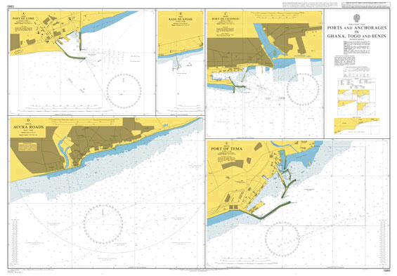
Admiralty standard nautical charts comply with Safety of Life at Sea (SOLAS) regulations and are ideal for professional, commercial and recreational use. Charts within the series consist of a range of scales, useful for passage planning, ocean crossings, coastal navigation and entering port.Standard Admiralty charts are folded to fit in a chart table drawer. If
Admiralty Chart 609 – River Gambia Albreda to Kuntaur

Admiralty standard nautical charts comply with Safety of Life at Sea (SOLAS) regulations and are ideal for professional, commercial and recreational use. Charts within the series consist of a range of scales, useful for passage planning, ocean crossings, coastal navigation and entering port.Standard Admiralty charts are folded to fit in a chart table drawer. If


