Category Archives: World Music
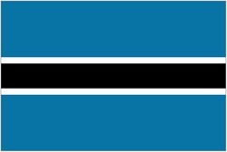
Flag of Botswana
Flag of Papua New Guinea
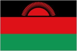
Flag of Malawi
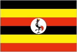
Flag of Uganda
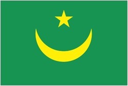
Flag of Mauritania
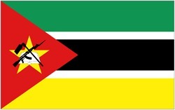
Flag of Mozambique
Flag of Sudan
NGA Chart 51559 – Port de Dakar and Baie de Goree
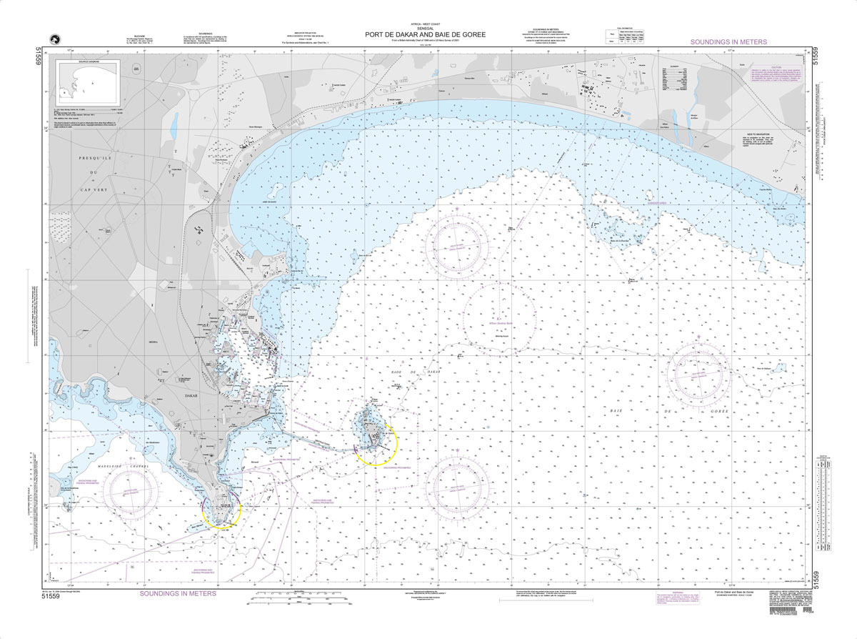
Produced by the US Government, National Geospatial-Intelligence Agency (NGA) charts provide information for the International Waters. They are printed on demand at our London shop and are supplied as flat charts.PLEASE NOTE: NGA charts are not updated often, therefore some may no longer be suitable for safe navigation and should be used for reference only.
Luxor Illustrated: With Aswan, Abu Simbel, and the Nile
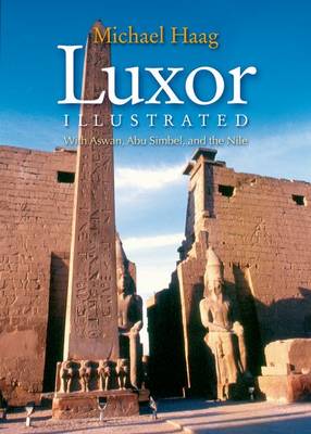
This is a full-color celebration of the monuments and landscape of Upper Egypt. Luxor stands on the site of ancient Thebes, Egypt`s opulent New Kingdom capital. It encompasses the spectacular temples of Luxor and Karnak on the east bank of the Nile, and on the west bank the vast necropolis, which includes the Colossi of
NGA Chart 54095 – Dubrovnik to Otok Drvenik Mali and Punta Torre Canne to Punta Pietre Nere
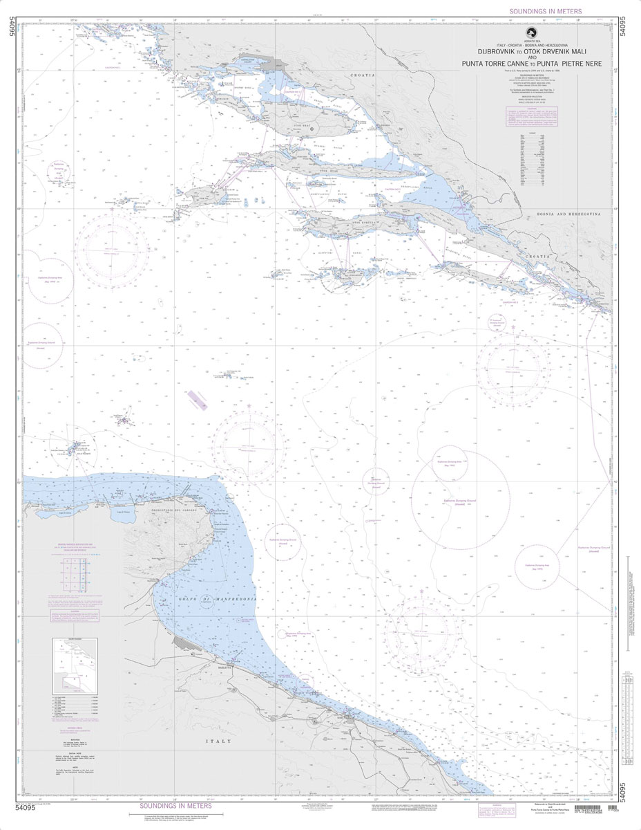
Produced by the US Government, National Geospatial-Intelligence Agency (NGA) charts provide information for the International Waters. They are printed on demand at our London shop and are supplied as flat charts.PLEASE NOTE: NGA charts are not updated often, therefore some may no longer be suitable for safe navigation and should be used for reference only.
An Alexandria Anthology: Travel Writing Through the Centuries

Founded by Alexander the Great over 2,300 years ago, Alexandria has belonged both to the Mediterranean and to Egypt, a luxuriant out-planting of Europe on the coast of Africa, but also a city of the East – the fabled cosmopolitan town that fascinated travelers, writers, and poets in the nineteenth and twentieth centuries, where French
NGA Chart 54115 – Otok Drvenik Mali to Otok Susak and Porto d`Ascoli to Porto Corsini
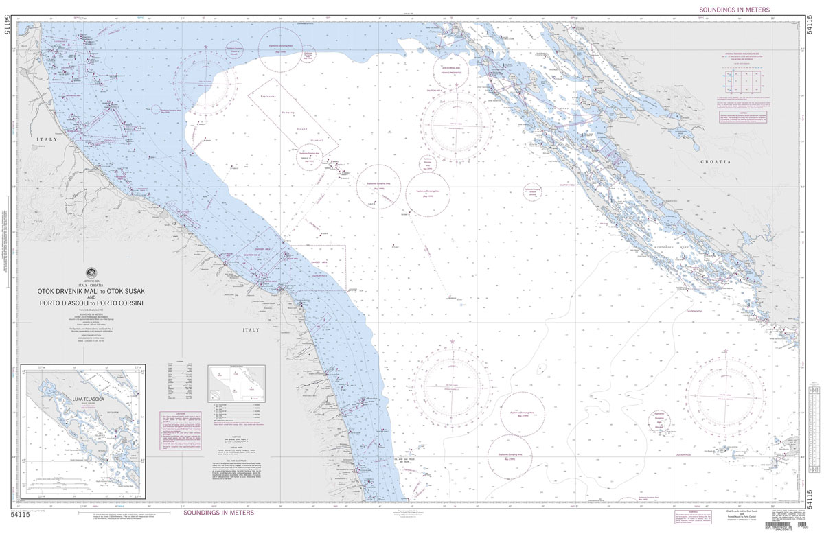
Produced by the US Government, National Geospatial-Intelligence Agency (NGA) charts provide information for the International Waters. They are printed on demand at our London shop and are supplied as flat charts.PLEASE NOTE: NGA charts are not updated often, therefore some may no longer be suitable for safe navigation and should be used for reference only.
Sinai: Egypt`s Linchpin, Gaza`s Lifeline, Israel`s Nightmare

The Sinai Peninsula holds a unique strategic and political significance for Egypt and its neighbours. Enclosed by the Suez Canal and bordering Gaza and Israel, Egypt`s rugged eastern province has been the cornerstone of the Egyptian-Israeli peace accords, yet its internal politics and security have remained largely under media blackout. While the international press descended
NGA Chart 61000 – Algoa Bay to Cape Town
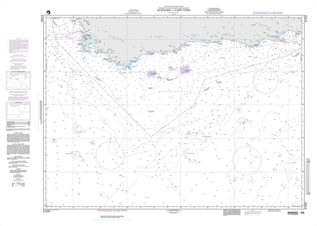
Produced by the US Government, National Geospatial-Intelligence Agency (NGA) charts provide information for the International Waters. They are printed on demand at our London shop and are supplied as flat charts.PLEASE NOTE: NGA charts are not updated often, therefore some may no longer be suitable for safe navigation and should be used for reference only.
NGA Chart 61003 – Durban to Algoa Bay

Produced by the US Government, National Geospatial-Intelligence Agency (NGA) charts provide information for the International Waters. They are printed on demand at our London shop and are supplied as flat charts.PLEASE NOTE: NGA charts are not updated often, therefore some may no longer be suitable for safe navigation and should be used for reference only.
NGA Chart 61020 – Mozambique Channel-Southern Reaches
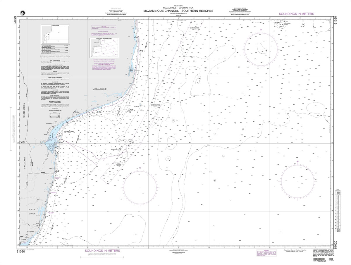
Produced by the US Government, National Geospatial-Intelligence Agency (NGA) charts provide information for the International Waters. They are printed on demand at our London shop and are supplied as flat charts.PLEASE NOTE: NGA charts are not updated often, therefore some may no longer be suitable for safe navigation and should be used for reference only.
NGA Chart 61400 – Mozambique Channel-Northern Reaches

Produced by the US Government, National Geospatial-Intelligence Agency (NGA) charts provide information for the International Waters. They are printed on demand at our London shop and are supplied as flat charts.PLEASE NOTE: NGA charts are not updated often, therefore some may no longer be suitable for safe navigation and should be used for reference only.
NGA Chart 61450 – Mozambique Channel
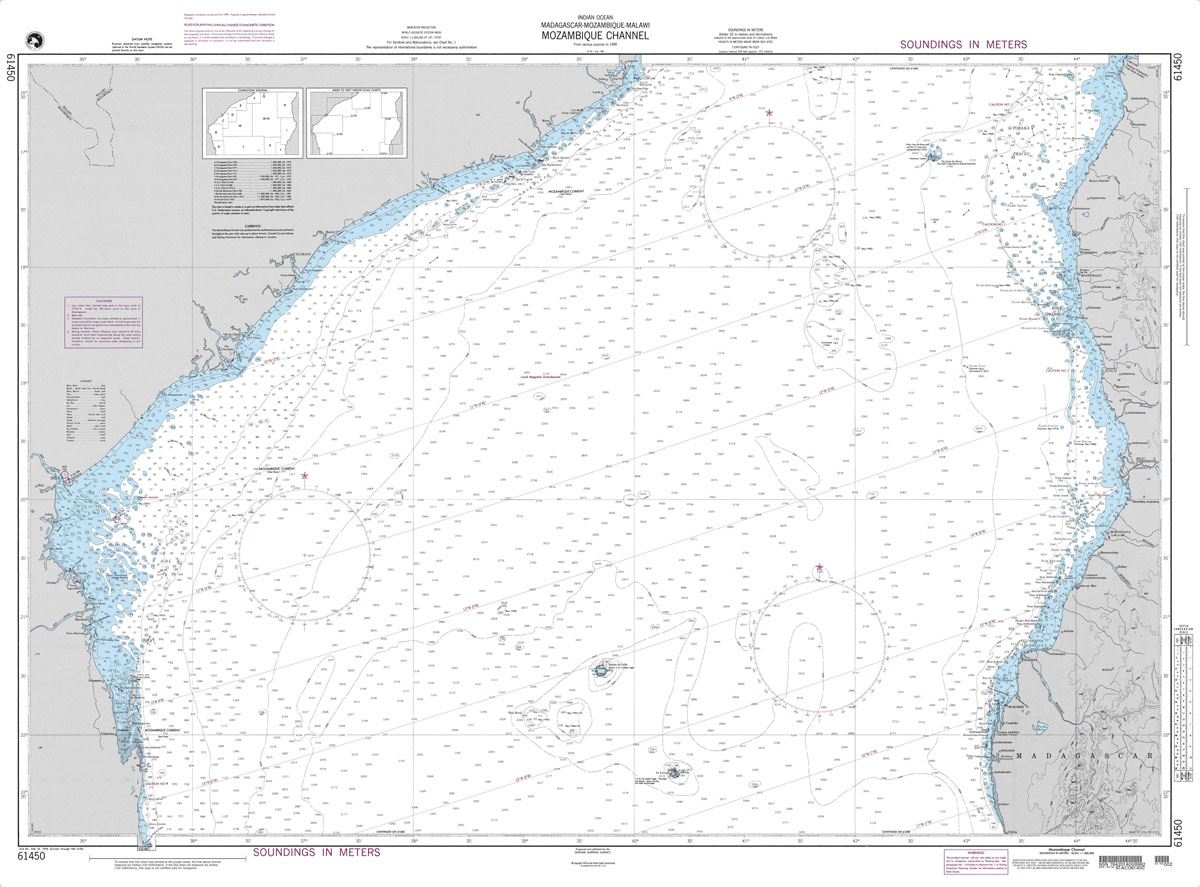
Produced by the US Government, National Geospatial-Intelligence Agency (NGA) charts provide information for the International Waters. They are printed on demand at our London shop and are supplied as flat charts.PLEASE NOTE: NGA charts are not updated often, therefore some may no longer be suitable for safe navigation and should be used for reference only.
NGA Chart 62001 – Red Sea

Produced by the US Government, National Geospatial-Intelligence Agency (NGA) charts provide information for the International Waters. They are printed on demand at our London shop and are supplied as flat charts.PLEASE NOTE: NGA charts are not updated often, therefore some may no longer be suitable for safe navigation and should be used for reference only.


