Category Archives: Travel Guides
NP201A Tide Tables – English Channel to River Humber 2019
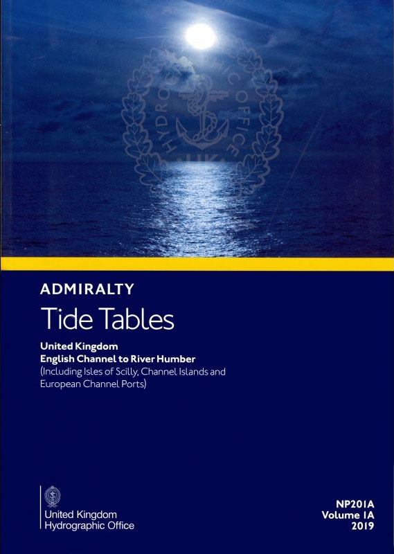
ADMIRALTY Tide Tables contain easy-to-use height, timing and tidal stream information to support the planning of departure and arrival times. Coverage includes 500 standard and 5,700 secondary ports in the UK and Ireland, Europe, the Indian Ocean, South China Sea and Pacific Ocean.Each volume of Tide Tables includes:Daily high and low-water times and heights for
NP201A Tide Tables – English Channel to River Humber 2020
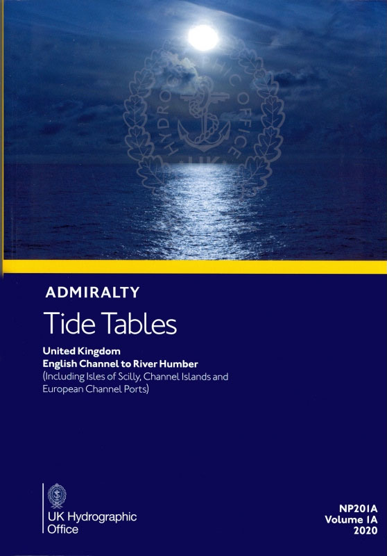
ADMIRALTY Tide Tables contain easy-to-use height, timing and tidal stream information to support the planning of departure and arrival times. Coverage includes 500 standard and 5,700 secondary ports in the UK and Ireland, Europe, the Indian Ocean, South China Sea and Pacific Ocean.Each volume of Tide Tables includes:Daily high and low-water times and heights for
NP247 (1) Annual Summary of Admiralty Notices to Mariners – Chart Notices to Mariners 2021
To supplement Weekly NMs, the Admiralty produces an Annual Summary of Notices to Mariners (NP247).This publication comes in two volumes – NP247(1) and NP247(2). Volume 1 contains the Annual Statutory Notices to Mariners Numbers 1-26 and a summary of Temporary and Preliminary Notices to Mariners still in force at the start of the year. Volume
NP201A Tide Tables – English Channel to River Humber 2021
ADMIRALTY Tide Tables contain easy-to-use height, timing and tidal stream information to support the planning of departure and arrival times. Coverage includes 500 standard and 5,700 secondary ports in the UK and Ireland, Europe, the Indian Ocean, South China Sea and Pacific Ocean.Each volume of Tide Tables includes:Daily high and low-water times and heights for
NP201A Tide Tables – English Channel to River Humber 2022
ADMIRALTY Tide Tables contain easy-to-use height, timing and tidal stream information to support the planning of departure and arrival times. Coverage includes 500 standard and 5,700 secondary ports in the UK and Ireland, Europe, the Indian Ocean, South China Sea and Pacific Ocean.Each volume of Tide Tables includes:Daily high and low-water times and heights for
NP255 Tidal Stream Atlas Falmouth to Padstow

Tidal Stream Atlas 255 covers Falmouth to Padstow, including Isles of Scilly.Tidal stream atlases show, in diagrammatic form, the major tidal streams for selected waters of NW Europe. They show, at a glance, both direction and rate of tidal streams at hourly intervals by careful and accurate use of graded arrows. They also display mean
NP251 Tidal Stream Atlas North Sea Southern Part
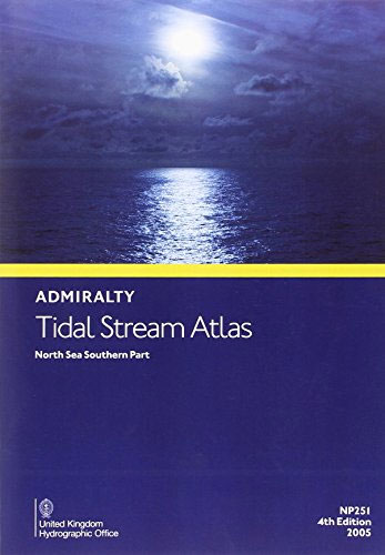
Tidal Stream Atlas 251 covers the North Sea, southern portion.Tidal stream atlases show, in diagrammatic form, the major tidal streams for selected waters of NW Europe. They show, at a glance, both direction and rate of tidal streams at hourly intervals by careful and accurate use of graded arrows. They also display mean neap and
NP221 Tidal Stream Atlas Plymouth Harbour and Approaches

Tidal Stream Atlas 221 covers Plymouth Harbour and Approaches.Tidal stream atlases show, in diagrammatic form, the major tidal streams for selected waters of NW Europe. They show, at a glance, both direction and rate of tidal streams at hourly intervals by careful and accurate use of graded arrows. They also display mean neap and spring
NP249 Tidal Stream Atlas Thames Estuary
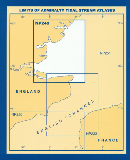
Tidal Stream Atlas 249 covers Thames Estuary (with co-tidal charts).Tidal stream atlases show, in diagrammatic form, the major tidal streams for selected waters of NW Europe. They show, at a glance, both direction and rate of tidal streams at hourly intervals by careful and accurate use of graded arrows. They also display mean neap and
NP254 Tidal Stream Atlas The West Country
Tidal Stream Atlas 254 covers the West Country, Falmouth to Teignmouth.Tidal stream atlases show, in diagrammatic form, the major tidal streams for selected waters of NW Europe. They show, at a glance, both direction and rate of tidal streams at hourly intervals by careful and accurate use of graded arrows. They also display mean neap
In Search of the Ancients

Some male, middle-aged-going-on-elderly mates, after one of their regular, somewhat inebriated sessions in a North London hostelry, determine to spend whatever weekends it takes to walk the ancient paths of Albion. Starting in the mystical centre of Ancient Britain, Stonehenge, the companions begin a quest to discover not only the best ale pubs but also
End Games in Bordeaux

In the early summer of 1944, France is in turmoil. The Allied invasion, bringing the promise of Liberation, is awaited, eagerly and nervously. The Vichy regime is in its death throes. Those who have served it and collaborated with the German Occupation fear the revenge of the Resistance. Atrocities are committed on both sides, and
Footprints in Spain

Part history, part memoir, part travelogue – a fascinating tour of Spain by an author who knows its history and culture inside outBritons have been drawn to Spain for many centuries. It has played host to bloody wars and legendary love affairs that have shaped the culture, history and psyche of both nations. Over time,
Footprints in Spain: British Lives in a Foreign Land

Part history, part memoir, part travelogue – a fascinating tour of Spain by an author who knows its history and culture inside out. Britons have been drawn to Spain for many centuries. It has played host to bloody wars and legendary love affairs that have shaped the culture, history and psyche of both nations. Over