Category Archives: Travel Guides
NP85 Admiralty List of Lights Volume M: Far East 2019/20 SUPERCEDED
NEW EDITION OUT ON 10/10/2019ADMIRALTY List of Lights and Fog Signals provides coverage of over 85,000 light structures including lighthouses, lightships, lit floating marks, fog signals and other lights of navigational significance.Each volume of List of Lights and Fog Signals offers:Descriptions of the characteristics of lights and fog signals, together with the equivalent foreign language
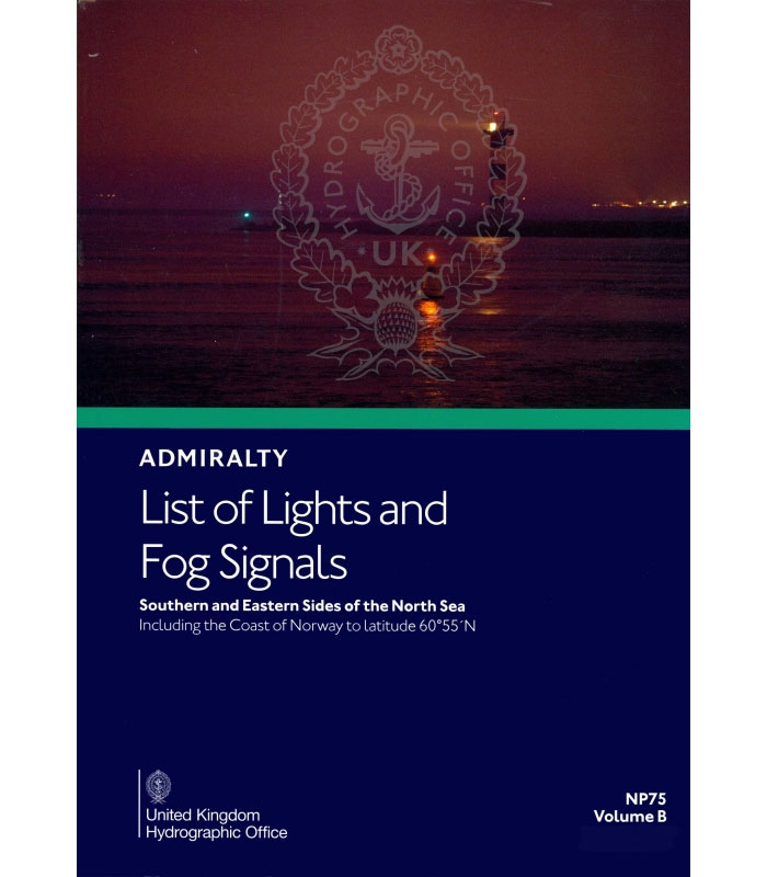
NP75 Vol B Admiralty List of Lights and Fog Signals – South and East sides of North Sea
NP76 Vol C Admiralty List of Lights and Fog Signals – Baltic Sea 2020/21 SUPERCEDED

ADMIRALTY List of Lights and Fog Signals provides coverage of over 85,000 light structures including lighthouses, lightships, lit floating marks, fog signals and other lights of navigational significance.Each volume of List of Lights and Fog Signals offers:*Descriptions of the characteristics of lights and fog signals, together with the equivalent foreign language light descriptions, to help
NP85 Admiralty List of Lights Volume M: Far East 2020

NEW EDITION OUT ON 10/10/2019ADMIRALTY List of Lights and Fog Signals provides coverage of over 85,000 light structures including lighthouses, lightships, lit floating marks, fog signals and other lights of navigational significance.Each volume of List of Lights and Fog Signals offers:Descriptions of the characteristics of lights and fog signals, together with the equivalent foreign language
NP82 Volume J: Western Side of North Atlantic Ocean 2021
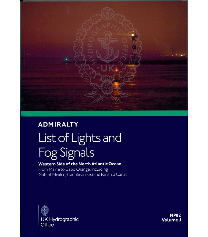
This publication also gives the characteristics of lights and fog signals, together with the equivalent foreign language light descriptions. Tables can be used to calculate the geographical and luminous ranges of lights. Details for all lights listed include the international number, location and/or name, geographical co-ordinates, characteristics and intensity, elevation in metres, range in sea
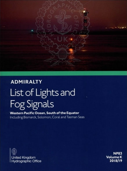
NP83 Volume K: Indian and Pacific Oceans, South of the Equator 2021
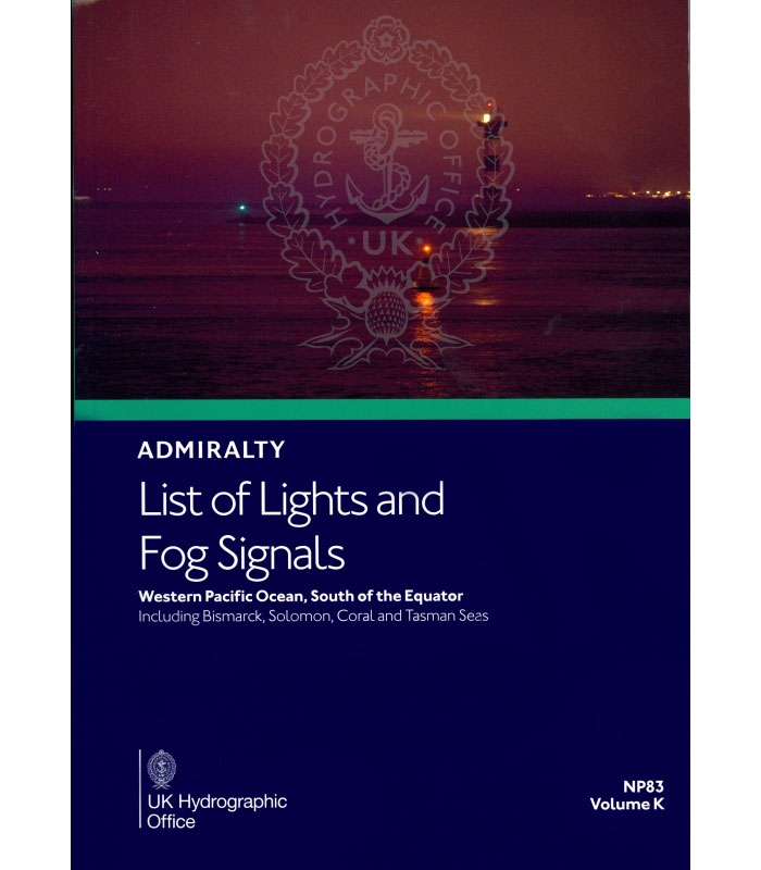
NP 83 Admiralty List of Lights and Fog Signals Volume K: Western Pacific Ocean, South of the Equator 2019/20 provides extensive information on all lighthouses, lightships, lit floating marks (over 8m in height), fog signals and other lights of navigational significance.This publication also gives the characteristics of lights and fog signals, together with the equivalent
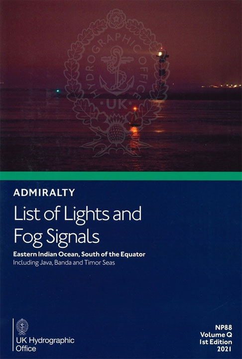
NP88 Volume Q: Eastern Indian Ocean, South of the Equator including Java, Banda and Timor Seas 2021
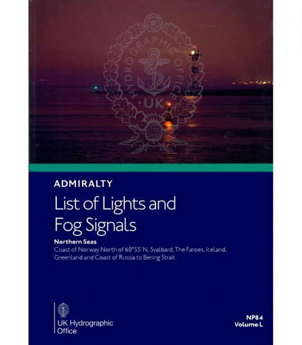
NP84 Volume L: Northern Seas 2021
NP74 Vol A Admiralty List of Lights and Fog Signals – British Isles & Northern France 2021 2nd Edition
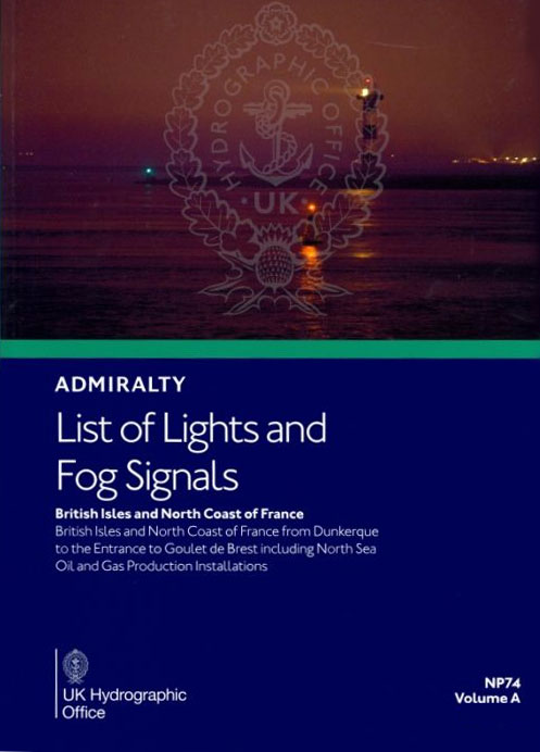
ADMIRALTY List of Lights and Fog Signals provides coverage of over 85,000 light structures including lighthouses, lightships, lit floating marks, fog signals and other lights of navigational significance.Each volume of List of Lights and Fog Signals offers:Descriptions of the characteristics of lights and fog signals, together with the equivalent foreign language light descriptions, to help
NP78 Volume E: West Mediterranean 2018/19 SUPERCEDED
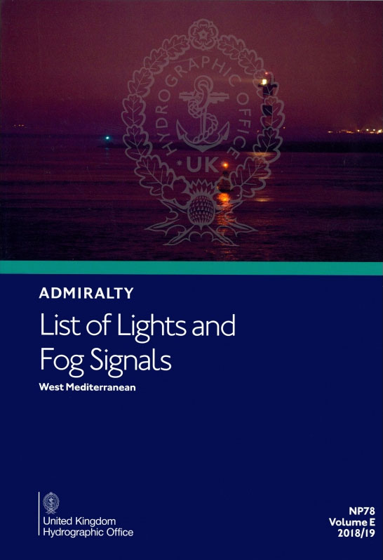
NEW EDITION OUT ON 30/05/2019ADMIRALTY List of Lights and Fog Signals provides coverage of over 85,000 light structures including lighthouses, lightships, lit floating marks, fog signals and other lights of navigational significance.Each volume of List of Lights and Fog Signals offers:Descriptions of the characteristics of lights and fog signals, together with the equivalent foreign language
NP75 Vol B Admiralty List Of Lights And Fog Signals – South And East Sides Of North Sea 2021
NP76 Vol C Admiralty List of Lights and Fog Signals – Baltic Sea 2018/19 SUPERCEDED
NEW EDITION OUT ON 11/07/2019ADMIRALTY List of Lights and Fog Signals provides coverage of over 85,000 light structures including lighthouses, lightships, lit floating marks, fog signals and other lights of navigational significance.Each volume of List of Lights and Fog Signals offers:*Descriptions of the characteristics of lights and fog signals, together with the equivalent foreign language
NP76 Vol C Admiralty List of Lights and Fog Signals – Baltic Sea 2020/21
AVAILABLE FROM 27/05/2021ADMIRALTY List of Lights and Fog Signals provides coverage of over 85,000 light structures including lighthouses, lightships, lit floating marks, fog signals and other lights of navigational significance.Each volume of List of Lights and Fog Signals offers:*Descriptions of the characteristics of lights and fog signals, together with the equivalent foreign language light descriptions,
NP77 Volume D: Eastern Atlantic Ocean, Western Indian Ocean & Arabian Sea 2021
NP201A Tide Tables – English Channel to River Humber 2019
ADMIRALTY Tide Tables contain easy-to-use height, timing and tidal stream information to support the planning of departure and arrival times. Coverage includes 500 standard and 5,700 secondary ports in the UK and Ireland, Europe, the Indian Ocean, South China Sea and Pacific Ocean.Each volume of Tide Tables includes:Daily high and low-water times and heights for
NP201A Tide Tables – English Channel to River Humber 2020
ADMIRALTY Tide Tables contain easy-to-use height, timing and tidal stream information to support the planning of departure and arrival times. Coverage includes 500 standard and 5,700 secondary ports in the UK and Ireland, Europe, the Indian Ocean, South China Sea and Pacific Ocean.Each volume of Tide Tables includes:Daily high and low-water times and heights for
NP247 (1) Annual Summary of Admiralty Notices to Mariners – Chart Notices to Mariners 2021
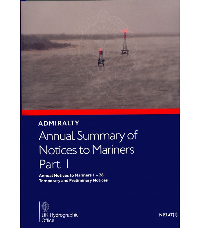
To supplement Weekly NMs, the Admiralty produces an Annual Summary of Notices to Mariners (NP247).This publication comes in two volumes – NP247(1) and NP247(2). Volume 1 contains the Annual Statutory Notices to Mariners Numbers 1-26 and a summary of Temporary and Preliminary Notices to Mariners still in force at the start of the year. Volume


