Category Archives: Travel Guides
NP41 Japan Pilot Vol 1 2021
OUT ON 19/08/2021It covers Honshu (except its southern coasts), Hokkaido, The southern coast of Ostrov Sakhalin Kuril`skiye Ostrova, 12th (2018) Edition.Cubre Honshu (excepto sus costas del sur), Hokkaido, la costa sur de Ostrov Sakhalin Kuril`skiye Ostrova, 12ยช ediciรณn (2018).
NP51 New Zealand Pilot Edition 2021
It covers the o?shore and coastal waters around North and South Islands of New Zealand, Stewart Island and adjacent islands, Kermadec, Chatham, Bounty, Antipodes, Auckland and Campbell Islands.Cubre las aguas costeras y costeras alrededor de las islas norte y sur de Nueva Zelanda, la isla Stewart y las islas adyacentes, las islas Kermadec, Chatham, Bounty,
NP54 North Sea (West) Pilot Edition 2021
It covers East Coasts of Scotland and England from Rattray Head to Southwold.Cubre las costas orientales de Escocia e Inglaterra desde Rattray Head hasta Southwold.
GP100 The Astronomical Almanac: 2020
A worldwide resource for fundamental astronomical data, the Astronomical Almanac includes contributions from astronomical experts, as well as a wide variety of technical and general astronomical information. This includes:Positions of the Sun, Moon and planets to milli-arcsecond precision.Positions of minor planets and planetary satellites for each year.Data relating to Earth orientation, time-scales and coordinate systems.Sunrise/set,
NP303 (2) Rapid Sight Reduction Tables for Navigation Vol 2

Available as a three volume set. Volume 1 is aimed at the navigator using astro-navigation and provides the optimum selection of stars for a three-star fix. Volume 2 covers latitudes between 0ยฐ and 40ยฐ, with Volume 3 covering latitudes between 39ยฐ and 89ยฐ.
NP735 IALA Maritime Buoyage System
Admiralty’s compact guide to the IALA Buoyage system provides information on the Cardinal and Lateral Buoyage systems, helping bridge crews to clearly fix positions and avoid dangers. The publication also includes diagrams and written explanations of the five types of marks: lateral, cardinal, isolated danger, safe water and special marks.
NP314 Nautical Almanac 2020
The Nautical Almanac contains astronomical information to support bridge crews in routine and emergency celestial navigation, as well as the calculation of daylight hours and mandatory gyro checks. It is carried on every ship within the Royal Navy and is at the core of celestial navigational training courses worldwide.The Nautical Almanac includes:Tabulations of the Sun,
NP232 Guide to ECDIS Implementation, Policy and Procedures
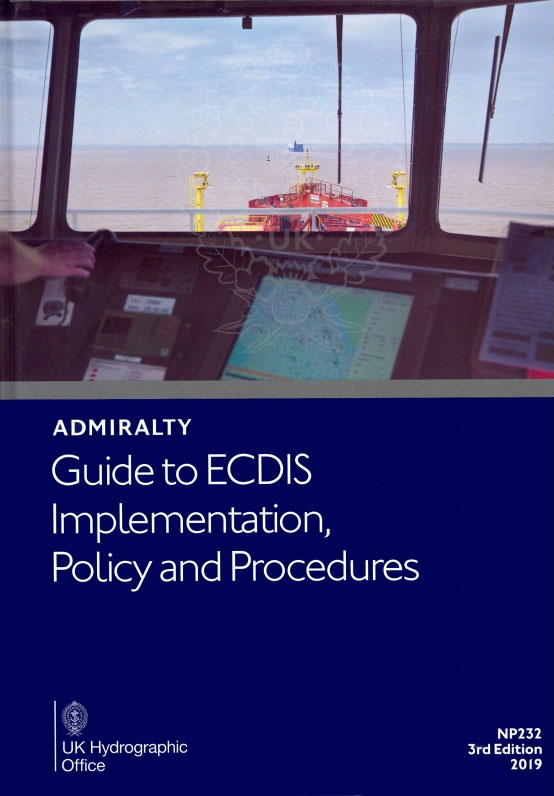
Guidance on the efficient integration of ECDIS across fleets, with clear information to help fleet managers to adopt ECDIS efficiently and ensure ECDIS implementation is fit for purpose. Content also includes guidance on ECDIS policies and procedures to assist crews, fleet managers and those involved in the development of detailed ECDIS operating procedures to ensure
NP321 Star Almanac for Land Surveyors: 2020
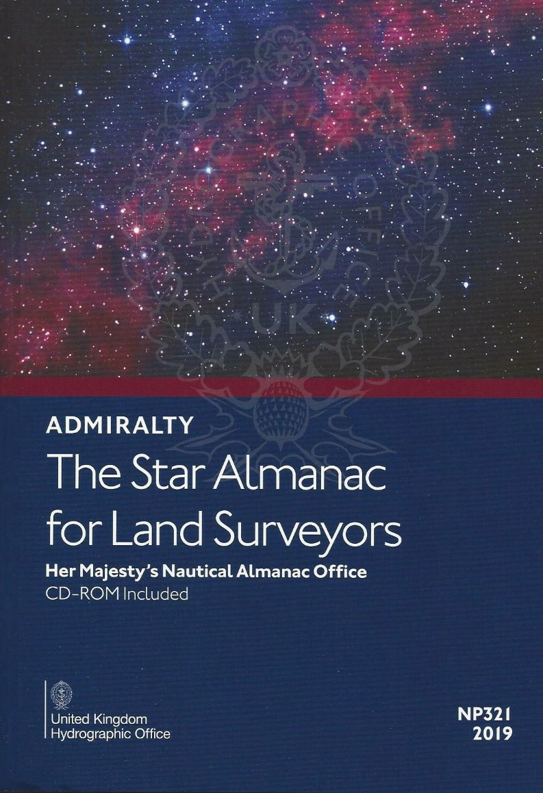
The Star Alamanc contains positions of the major and selected bright stars in a tabular format for easy identification. It is ideal for land surveyors who use astronomical observations to determine their geographical position or the direction to true north.This edition includes:A CD containing the almanac in PDF format and the coefficients representing the positions
NP36 Indonesia Pilot Vol 1
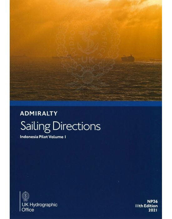
It covers the West Coast of Java, the North Coast of Java eastwards to Tanjung Bendoh, South and East Coasts of Sumatra, Selat Sunda, Selat Bangka, Selat Gelasa, south and west coasts of Kalimantan from Tanjung Puting to Pulau Pontianak, Pulau-Pulau Badas and Tambelan, Pulau-Pulau Lingga and Riau, with the various routes leading to Singapore
NP303 (3) Rapid Sight Reduction Tables for Navigation Vol 3
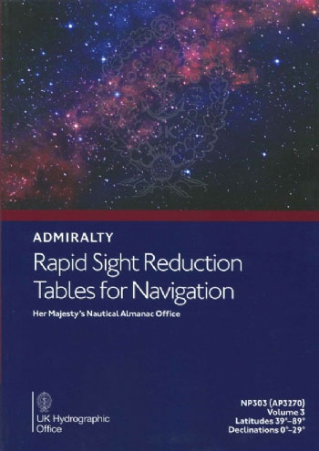
Rapid Sight Reduction Tables for Navigation Volume 3, for latitudes 39 degrees to 89 degrees and Declinations 0 degrees to 29 degrees.A reprint of NP303 Rapid Sight Reduction Tables for Navigation Volume 3 is now available. Star data in the volume has been updated to epoch 2020 to be compatible with Volume 1 (epoch 2020)
NP45 Mediterranean Pilot Vol 1 2021
It covers the coast of Spain from Gibraltar to Cap Cerbรจre, Islas Baleares, North Coast of Africa from Ceuta to Ra`s Ajdir, Isola di Pantelleria and Isole Pelagie, Maltese Islands, Isole รgadi, Sicilia and Isole Eolie, coast of Italy from Capo Suvero to Capo Santa Maria di Leuca.Cubre la costa de Espaรฑa desde Gibraltar hasta
NP231 A Guide to the Practical Use of ENC`s used in ECDIS
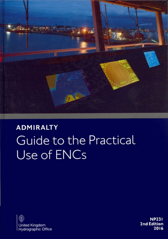
OUT ON 17/10/2019A detailed reference guide designed to help bridge crew, trainers and those responsible for risk and safety management to gain an understanding of practical ENC use. Divided into seven chapters, content includes information on the construction of an ENC, the influence of ECDIS display settings and how they can be optimised.
NP70 West Indies Pilot Vol 1 – Edition 2021

It covers the West Indies, comprising Bermuda, Bahamas, Turks and Caicos Islands, Florida Strait and Cays, Hispaniola, Cuba, Jamaica and Cayman Islands.Abarca las Indias Occidentales, que comprende Bermudas, Bahamas, Islas Turcas y Caicos, Estrecho y Cayos de la Florida, Hispaniola, Cuba, Jamaica y las Islas Caimรกn.
NP100 The Mariner`s Handbook – Edition 12, 2020
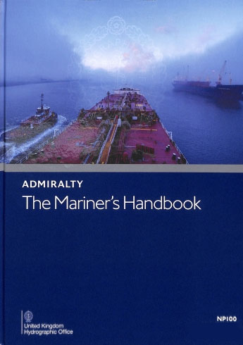
The Mariner’s Handbook (NP100) contains clear guidance to help mariners improve their understanding of maritime navigation, sea and ice conditions, meteorology and regulations. A highly valued publication, NP100 is used as a ‘core’ text by many leading maritime training academies and maritime related organisations.The Mariner’s Handbook includes:Guidance to assist mariners in navigational training and active
NP67 West Coasts of Spain and Portugal Pilot 2021
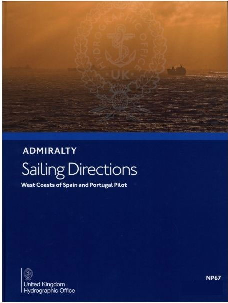
AVAILABLE FROM 27/05/2021It covers the west coasts of Spain and Portugal from Cabo Ortegal to Gibraltar, the Strait of Gibraltar, the north coast of Africa from Cap Spartel to Ceuta and Arquipรฉlago dos Aรงores.Cubre las costas occidentales de Espaรฑa y Portugal desde Cabo Ortegal hasta Gibraltar, el Estrecho de Gibraltar, la costa norte de รfrica
GP100 The Astronomical Almanac: 2021
A worldwide resource for fundamental astronomical data, the Astronomical Almanac includes contributions from astronomical experts, as well as a wide variety of technical and general astronomical information. This includes:Positions of the Sun, Moon and planets to milli-arcsecond precision.Positions of minor planets and planetary satellites for each year.Data relating to Earth orientation, time-scales and coordinate systems.Sunrise/set,
NP64 Red Sea and Gulf of Aden Pilot 2021
It covers the Suez Canal, Gulf of Suez and Gulf of `Aqaba, Red Sea, Gulf of Aden, South-east coast of Arabia – Ra`s Fartak to Ra`s al Junayz, Coast of Africa – Raas Caseyr to Raas Binna, Suqutra and adjacent IslandsCubre el Canal de Suez, el Golfo de Suez y el Golfo de `Aqaba, el
NP42A Japan Pilot Vol 2 – Edition 2020
It covers the South Coast of Shikoku from Komo Saki to Kanda Saki, the South Coast of Honshu from Hi-no Misaki to Taito Saki, and the islands of Nanpo Shoto.Cubre la costa sur de Shikoku desde Komo Saki hasta Kanda Saki, la costa sur de Honshu desde Hi-no Misaki hasta Taito Saki, y las islas
NP13 Australia Pilot Vol 1 – Edition 2020
The NP13 Admiralty Sailing Directions publication covers the South Coast of Australia, C. Leeuwin to Green Pt. This publication covers the basic pilotage of the area, which is complemented with full colour photography and views.La publicaciรณn NP13 Admiralty Sailing Directions cubre la costa sur de Australia, C. Leeuwin hasta Green Pt. Esta publicaciรณn cubre el