Category Archives: Travel Guides
NP321 Star Almanac for Land Surveyors: 2021

The Star Alamanc contains positions of the major and selected bright stars in a tabular format for easy identification. It is ideal for land surveyors who use astronomical observations to determine their geographical position or the direction to true north.This edition includes:A CD containing the almanac in PDF format and the coefficients representing the positions
NP286 (8) Pilot Services Africa (excl Med coast and Suez Canal), Red Sea and the Persian Gulf 2021

Volume 6 (NP286) – Pilot Services, Vessel Traffic Services and Port Operations (Parts 1 – 8)Split across eight publications, Volume 6 includes radio details for:Detailed Pilot information, contact details and proceduresVessel Traffic Service information, contact details and proceduresNational and International Ship Reporting SystemsPort information, contact details and procedures
NP234B Cumulative List Notices to Mariners (July)
NP286 (1) Pilot Services (United Kingdom and Ireland) 2021
Volume 6 (NP286) – Pilot Services, Vessel Traffic Services and Port Operations (Parts 1 – 8)Split across eight publications, Volume 6 includes radio details for:Detailed Pilot information, contact details and proceduresVessel Traffic Service information, contact details and proceduresNational and International Ship Reporting SystemsPort information, contact details and procedures
NP5011 Symbols and Abbreviations used on Admiralty Charts – 8th Edition

NEW EDITION OUT ON 19/11/2020NP5011 is primarily a key to symbols and abbreviations used on Admiralty and International paper charts and leisure folios compiled by the United Kingdom Hydrographic Office (UKHO). Variations may occur on charts adopted into the Admiralty Series that were originally produced by another hydrographic office. Where these symbols and abbreviations are
NP136 (1) Ocean Passages for the World – Atlantic Ocean Volume 1 – Edition 2021
Ocean Passages for the World supports the planning of deep-sea voyages on most major routes, with details of weather, currents, ice hazards and distances between major ports.Ocean Passages for the World includes: Individual chapters covering each of the world’s oceans, with details of weather, climate, winds, currents, swell, seasonal factors and ice hazards Numerous route
NP136 (2) Ocean Passages for the World – Indian and Pacific Oceans Volume 2 – Edition 2021

Ocean Passages for the World supports the planning of deep-sea voyages on most major routes, with details of weather, currents, ice hazards and distances between major ports.Ocean Passages for the World includes: Individual chapters covering each of the world’s oceans, with details of weather, climate, winds, currents, swell, seasonal factors and ice hazards Numerous route
NP321 Star Almanac for Land Surveyors: 2022
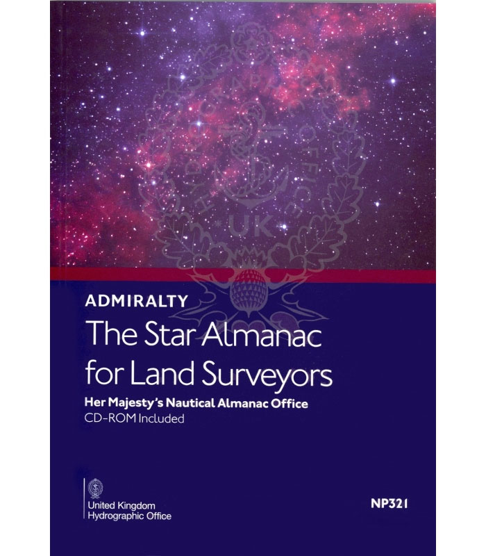
The Star Alamanc contains positions of the major and selected bright stars in a tabular format for easy identification. It is ideal for land surveyors who use astronomical observations to determine their geographical position or the direction to true north.This edition includes:A CD containing the almanac in PDF format and the coefficients representing the positions
NP314 Nautical Almanac 2022

The Nautical Almanac contains astronomical information to support bridge crews in routine and emergency celestial navigation, as well as the calculation of daylight hours and mandatory gyro checks. It is carried on every ship within the Royal Navy and is at the core of celestial navigational training courses worldwide.The Nautical Almanac includes:Tabulations of the Sun,
NP286 (5) Pilot Services (North America, Canada and Greenland) 2020/21

Volume 6 (NP286) – Pilot Services, Vessel Traffic Services and Port Operations (Parts 1 – 8)Split across eight publications, Volume 6 includes radio details for:Detailed Pilot information, contact details and proceduresVessel Traffic Service information, contact details and proceduresNational and International Ship Reporting SystemsPort information, contact details and procedures
NP281 (1) Maritime Radio Stations (Europe, Africa and Asia – excluding the Far East) 2020/21
NP283 (1) Maritime Safety Information Services. Europe, Africa and Asia (excluding the Far East) 2020
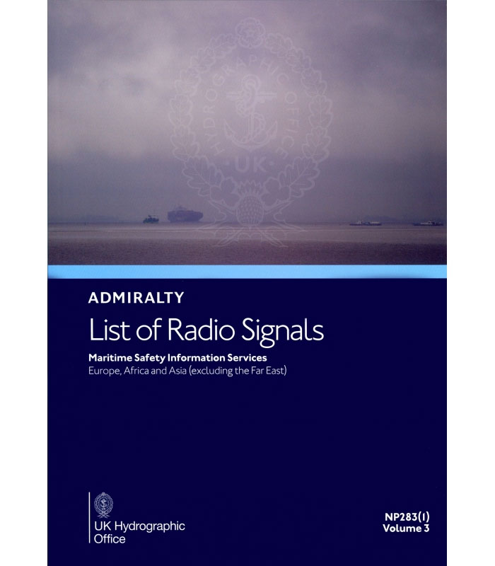
Volume 3 (NP283) – Maritime Safety Information Services (Parts 1 & 2)Split across two publications NP283(1) and NP283(2), Volume 3 includes radio details for:Maritime Weather ServicesSafety Information broadcastsWorldwide NAVTEX and SafetyNET informationSubmarine and Gunnery Warning details (Subfacts and Gunfacts)Radio-Facsimile Stations, frequencies and weather map areas
NP286 (6) Pilot Services (North East Asia and Russia, Pacific Coast) 2021
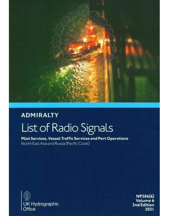
Volume 6 (NP286) – Pilot Services, Vessel Traffic Services and Port Operations (Parts 1 – 8)Split across eight publications, Volume 6 includes radio details for:Detailed Pilot information, contact details and proceduresVessel Traffic Service information, contact details and proceduresNational and International Ship Reporting SystemsPort information, contact details and procedures
NP284 ALRS Meteorological Observation Stations Vol 4 2021
NP286 (7) Pilot Services (Central and S America, the Caribbean) 2021
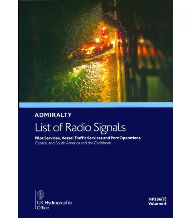
Volume 6 (NP286) – Pilot Services, Vessel Traffic Services and Port Operations (Parts 1 – 8)Split across eight publications, Volume 6 includes radio details for:Detailed Pilot information, contact details and proceduresVessel Traffic Service information, contact details and proceduresNational and International Ship Reporting SystemsPort information, contact details and procedures
NP314 Nautical Almanac 2021

The Nautical Almanac contains astronomical information to support bridge crews in routine and emergency celestial navigation, as well as the calculation of daylight hours and mandatory gyro checks. It is carried on every ship within the Royal Navy and is at the core of celestial navigational training courses worldwide.The Nautical Almanac includes:Tabulations of the Sun,
NP282 (2) Admiralty List of Radio Signals Vol 2 The Americas, Far East and Oceania 2021
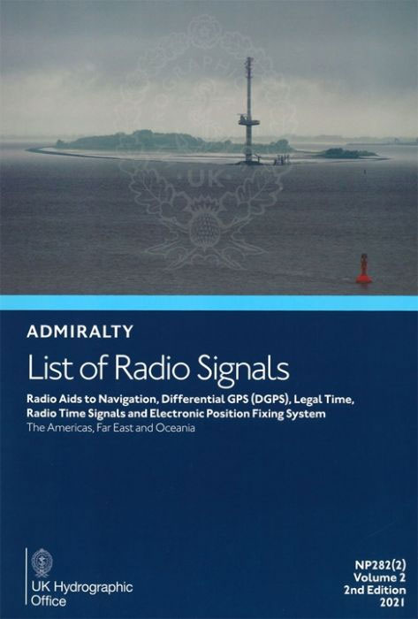
Volume 2 (NP282) – Radio Aids to Navigation, Differential GPS (DGPS), Legal Time, Radio Time Signals and Electronic Position Fixing System (Parts 1 & 2) Split across two publications NP282(1) and NP282(2), Volume 2 includes radio details for: Listing of VHF Radio Direction-Finding StationsRadar Beacons (Racons and Ramarks)Known operational Automatic Identification System (AIS)Aids to Navigation
NP35 Indonesia Pilot Vol 3 2021
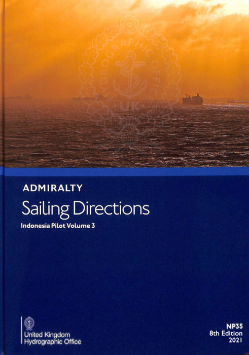
It covers the Island of Timor and East Timor together with Pulau Rote, Islands of the eastern part of Ceram Sea including Buru and Seram, Molucca Sea including Halmahera, Islands between the north-east coast of Sulawesi and Mindanao, north coast of Papua westwards from 141ยฐ101`E, including ย adjacent Islands.Cubre la isla de Timor y Timor Oriental
NP46 Mediterranean Pilot Vol 2 – Edition 2021
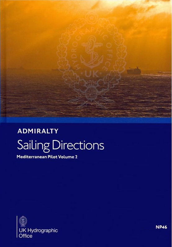
It covers the south coast of France from Cap Cerbรจre to the Franco-Italian frontier, the islands of Corse and Sardegna, the west coast of Italy from the Franco-Italian frontier to latitude 39ยฐN, including Arcipelago Toscano.Cubre la costa sur de Francia desde Cap Cerbรจre hasta la frontera franco-italiana, las islas de Corse y Sardegna, la costa


