Category Archives: Travel Guides
NGA Chart 26240 – Crooked Island Passage to Punta de Maisi
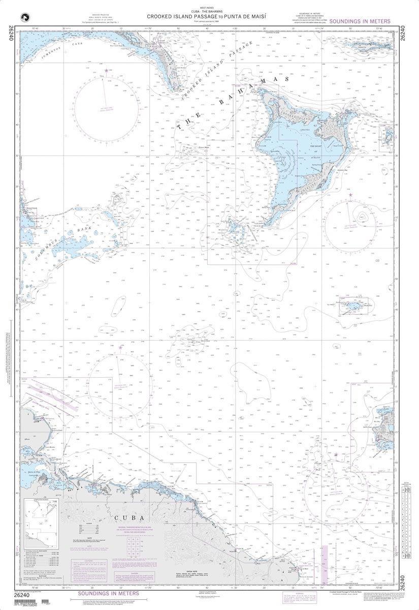
Produced by the US Government, National Geospatial-Intelligence Agency (NGA) charts provide information for the International Waters. They are printed on demand at our London shop and are supplied as flat charts.PLEASE NOTE: NGA charts are not updated often, therefore some may no longer be suitable for safe navigation and should be used for reference only.
NGA Chart 26244 – Punta Silencio to Bahia Sama
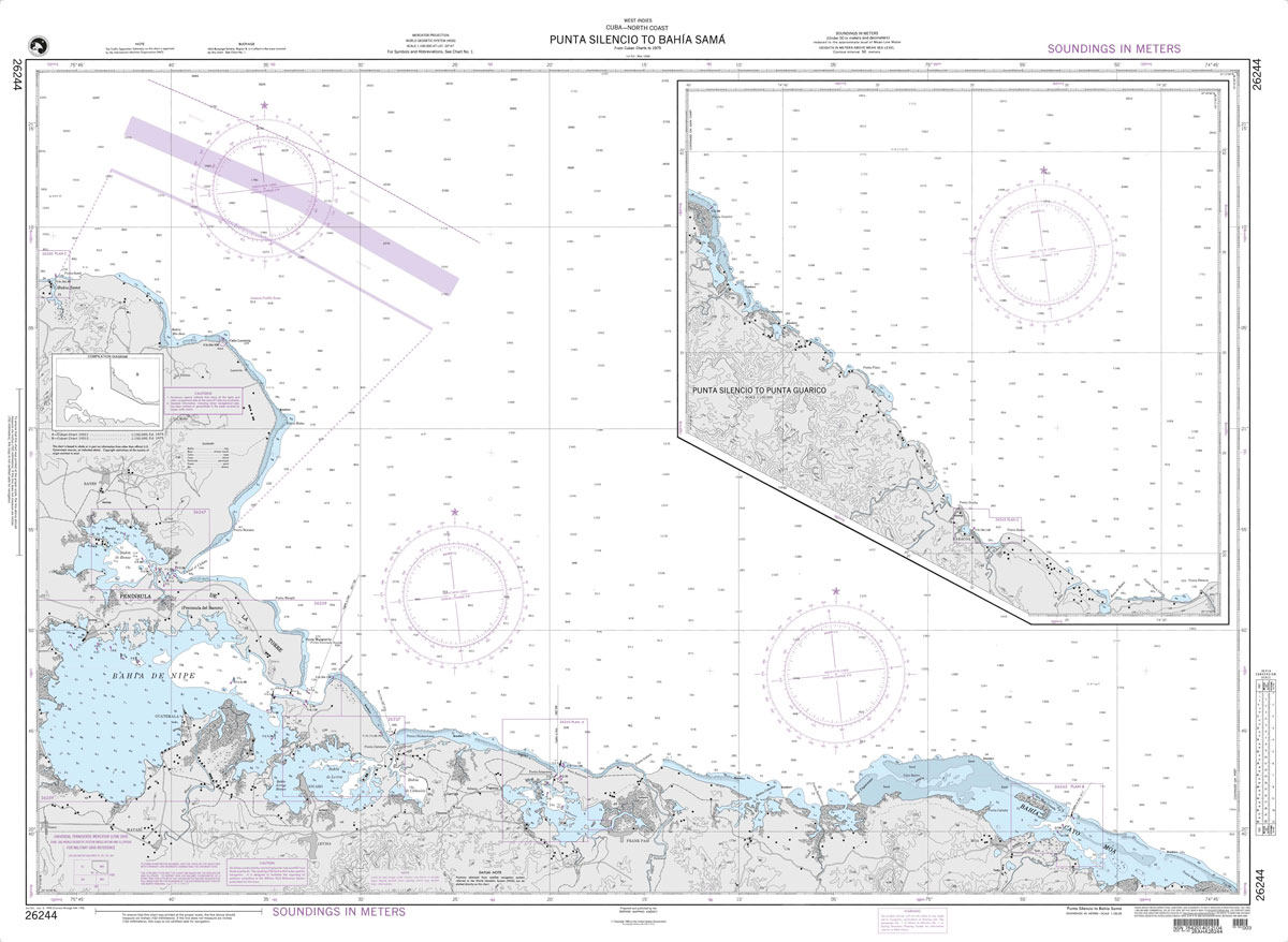
Produced by the US Government, National Geospatial-Intelligence Agency (NGA) charts provide information for the International Waters. They are printed on demand at our London shop and are supplied as flat charts.PLEASE NOTE: NGA charts are not updated often, therefore some may no longer be suitable for safe navigation and should be used for reference only.
NGA Chart 26245 – Bahia de Sagua de Tanamo

Produced by the US Government, National Geospatial-Intelligence Agency (NGA) charts provide information for the International Waters. They are printed on demand at our London shop and are supplied as flat charts.PLEASE NOTE: NGA charts are not updated often, therefore some may no longer be suitable for safe navigation and should be used for reference only.
NGA Chart 26247 – Entrance Channel to Bahia de Banes

Produced by the US Government, National Geospatial-Intelligence Agency (NGA) charts provide information for the International Waters. They are printed on demand at our London shop and are supplied as flat charts.PLEASE NOTE: NGA charts are not updated often, therefore some may no longer be suitable for safe navigation and should be used for reference only.
NGA Chart 26181 – Golfo de la Gonave
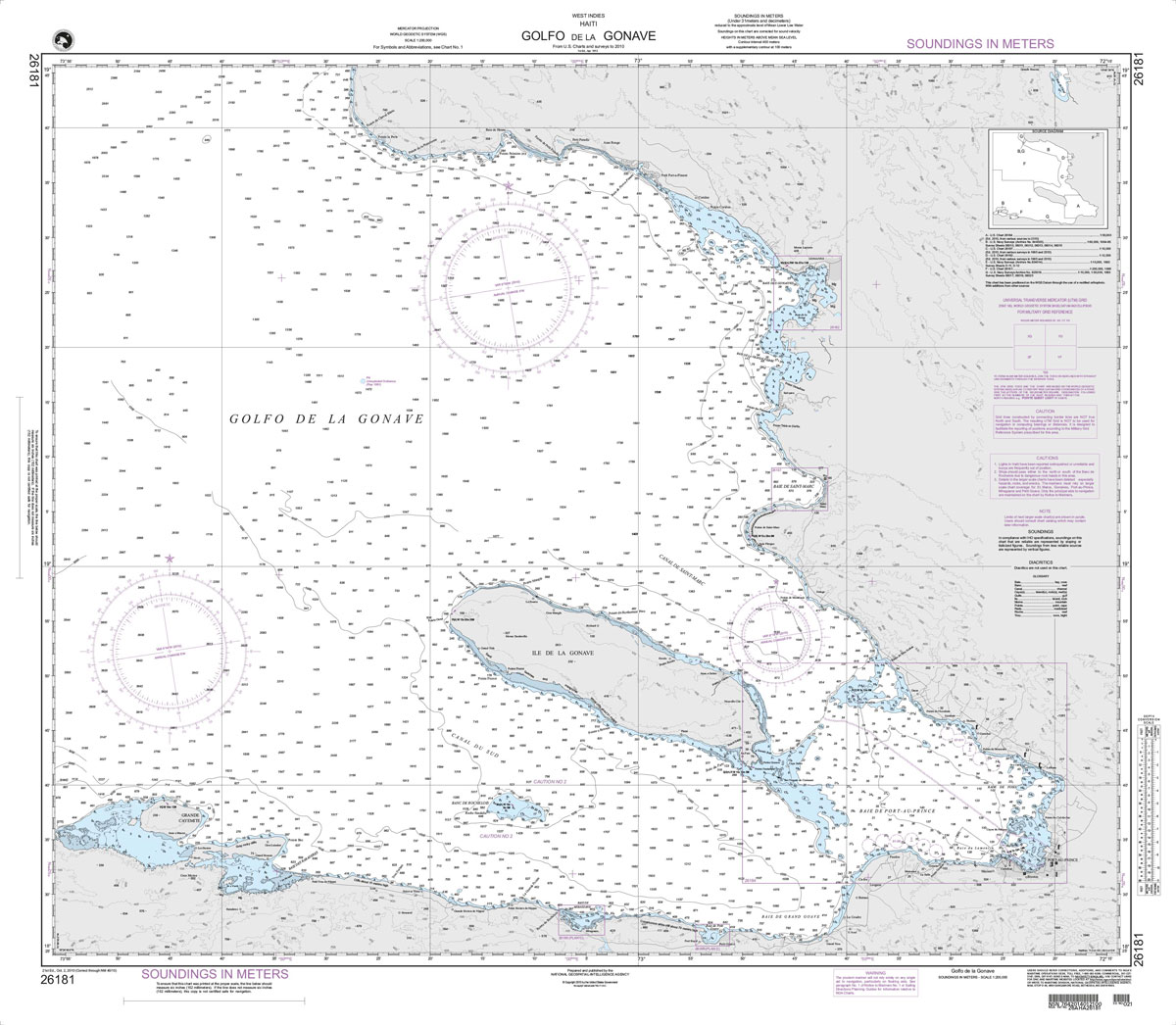
Produced by the US Government, National Geospatial-Intelligence Agency (NGA) charts provide information for the International Waters. They are printed on demand at our London shop and are supplied as flat charts.PLEASE NOTE: NGA charts are not updated often, therefore some may no longer be suitable for safe navigation and should be used for reference only.
NGA Chart 26250 – Puerto Gibara
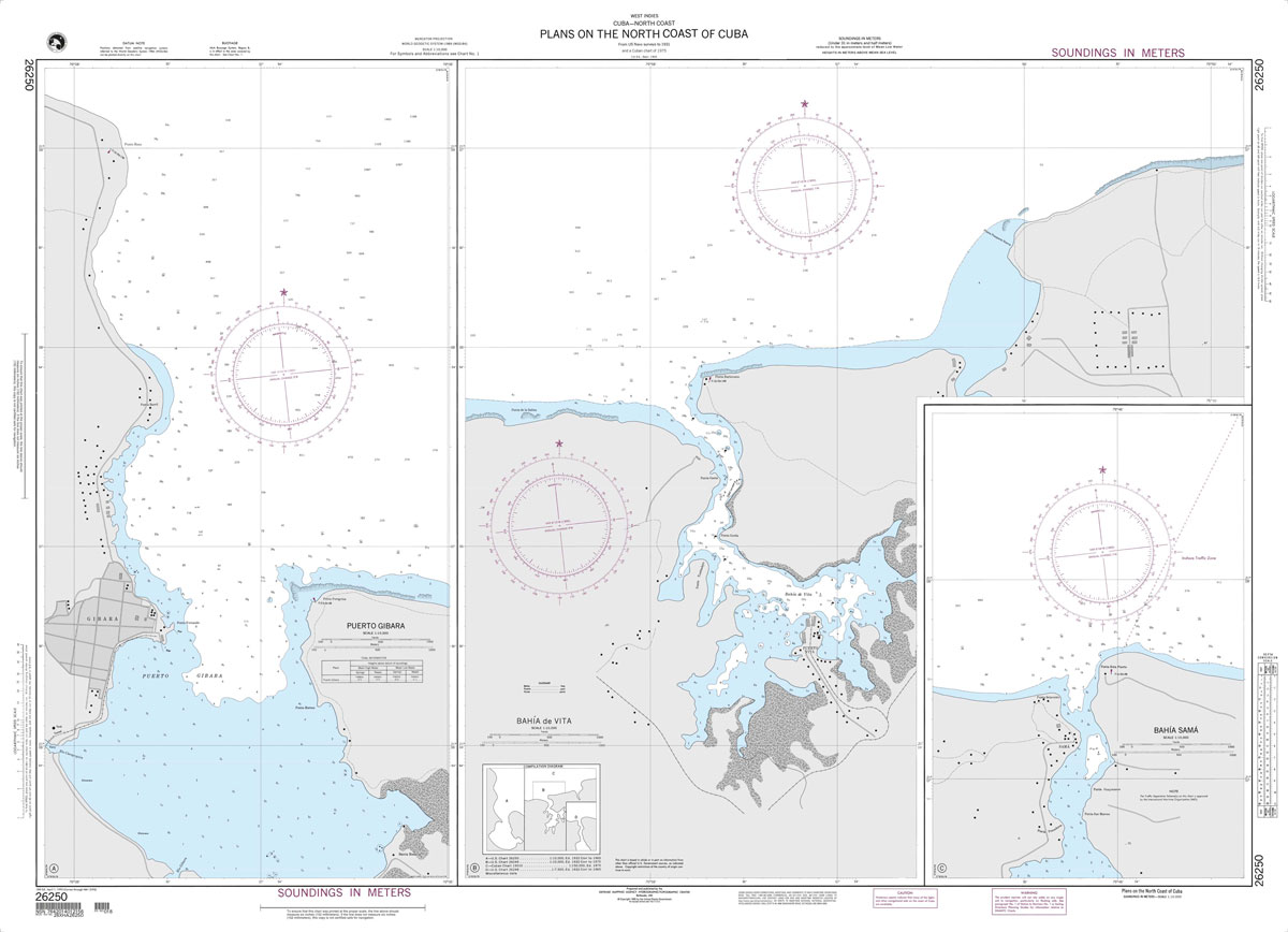
Produced by the US Government, National Geospatial-Intelligence Agency (NGA) charts provide information for the International Waters. They are printed on demand at our London shop and are supplied as flat charts.PLEASE NOTE: NGA charts are not updated often, therefore some may no longer be suitable for safe navigation and should be used for reference only.
NGA Chart 25800 – Isla Beata to Isla Saona
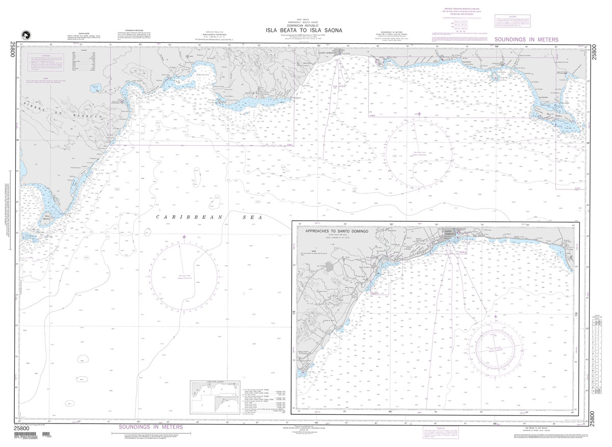
Produced by the US Government, National Geospatial-Intelligence Agency (NGA) charts provide information for the International Waters. They are printed on demand at our London shop and are supplied as flat charts.PLEASE NOTE: NGA charts are not updated often, therefore some may no longer be suitable for safe navigation and should be used for reference only.
NGA Chart 25803 – Bahia de Puerto Plata

Produced by the US Government, National Geospatial-Intelligence Agency (NGA) charts provide information for the International Waters. They are printed on demand at our London shop and are supplied as flat charts.PLEASE NOTE: NGA charts are not updated often, therefore some may no longer be suitable for safe navigation and should be used for reference only.
NGA Chart 25841 – Approaches to Cabo Rojo & Pedernales
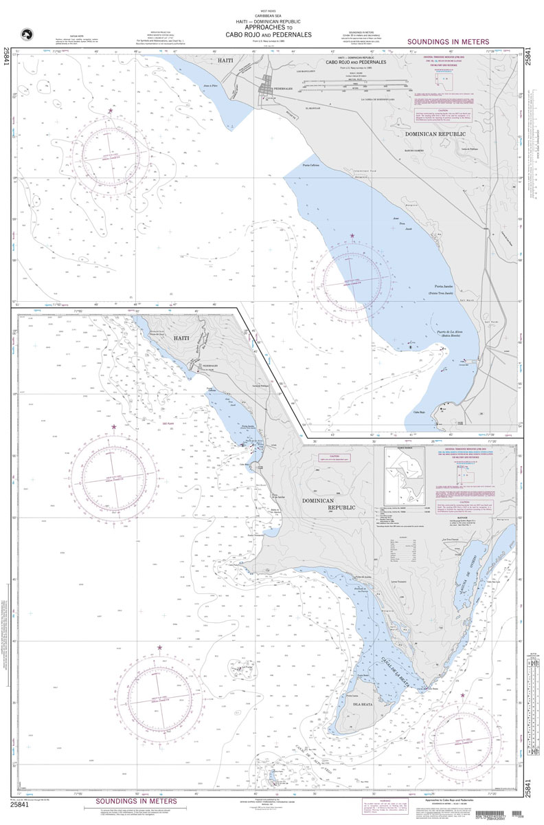
Produced by the US Government, National Geospatial-Intelligence Agency (NGA) charts provide information for the International Waters. They are printed on demand at our London shop and are supplied as flat charts.PLEASE NOTE: NGA charts are not updated often, therefore some may no longer be suitable for safe navigation and should be used for reference only.
NGA Chart 25842 – Approaches to Barahona and Punta Palenque
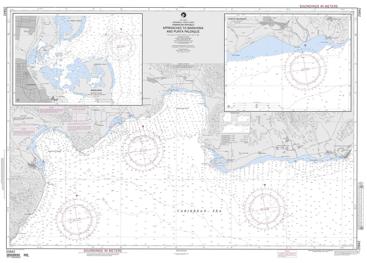
Produced by the US Government, National Geospatial-Intelligence Agency (NGA) charts provide information for the International Waters. They are printed on demand at our London shop and are supplied as flat charts.PLEASE NOTE: NGA charts are not updated often, therefore some may no longer be suitable for safe navigation and should be used for reference only.
NGA Chart 25845 – Puerto Viejo de Azua and Bahia de Las Calderas

Produced by the US Government, National Geospatial-Intelligence Agency (NGA) charts provide information for the International Waters. They are printed on demand at our London shop and are supplied as flat charts.PLEASE NOTE: NGA charts are not updated often, therefore some may no longer be suitable for safe navigation and should be used for reference only.
NGA Chart 25847 – Puerto de Haina

Produced by the US Government, National Geospatial-Intelligence Agency (NGA) charts provide information for the International Waters. They are printed on demand at our London shop and are supplied as flat charts.PLEASE NOTE: NGA charts are not updated often, therefore some may no longer be suitable for safe navigation and should be used for reference only.
NGA Chart 25848 – Approaches to Santo Domingo
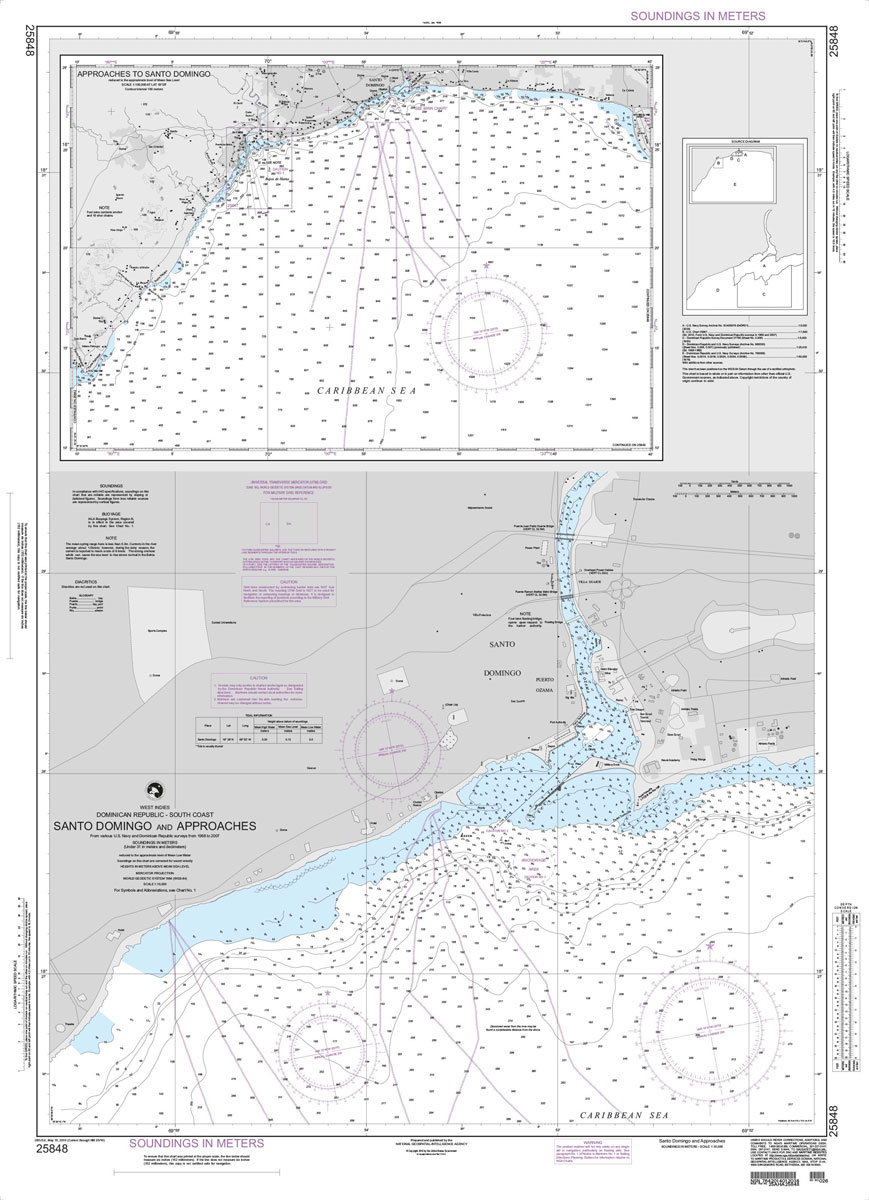
Produced by the US Government, National Geospatial-Intelligence Agency (NGA) charts provide information for the International Waters. They are printed on demand at our London shop and are supplied as flat charts.PLEASE NOTE: NGA charts are not updated often, therefore some may no longer be suitable for safe navigation and should be used for reference only.
NGA Chart 25849 – Approaches to Andres, San Pedro de Macoris and la Romana
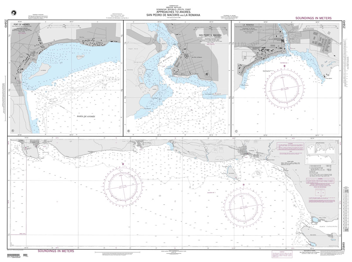
Produced by the US Government, National Geospatial-Intelligence Agency (NGA) charts provide information for the International Waters. They are printed on demand at our London shop and are supplied as flat charts.PLEASE NOTE: NGA charts are not updated often, therefore some may no longer be suitable for safe navigation and should be used for reference only.
NGA Chart 26001 – Carribean Sea-Central Part
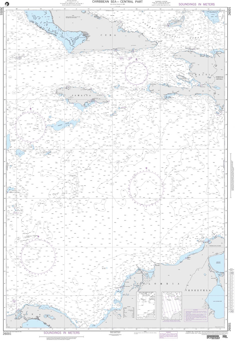
Produced by the US Government, National Geospatial-Intelligence Agency (NGA) charts provide information for the International Waters. They are printed on demand at our London shop and are supplied as flat charts.PLEASE NOTE: NGA charts are not updated often, therefore some may no longer be suitable for safe navigation and should be used for reference only.
NGA Chart 26140 – Approaches to Manzanillo Bay
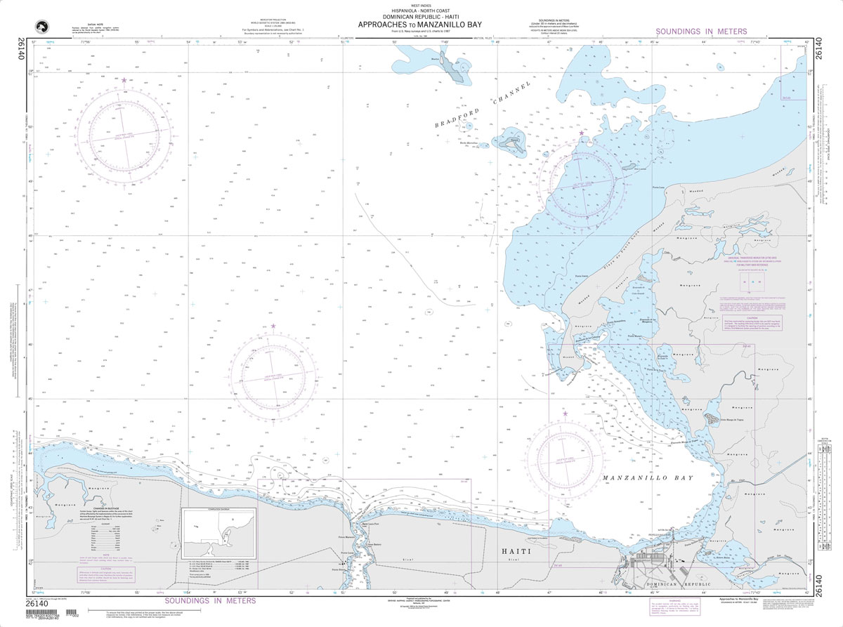
Produced by the US Government, National Geospatial-Intelligence Agency (NGA) charts provide information for the International Waters. They are printed on demand at our London shop and are supplied as flat charts.PLEASE NOTE: NGA charts are not updated often, therefore some may no longer be suitable for safe navigation and should be used for reference only.
NGA Chart 26141 – Canal de la Tortue
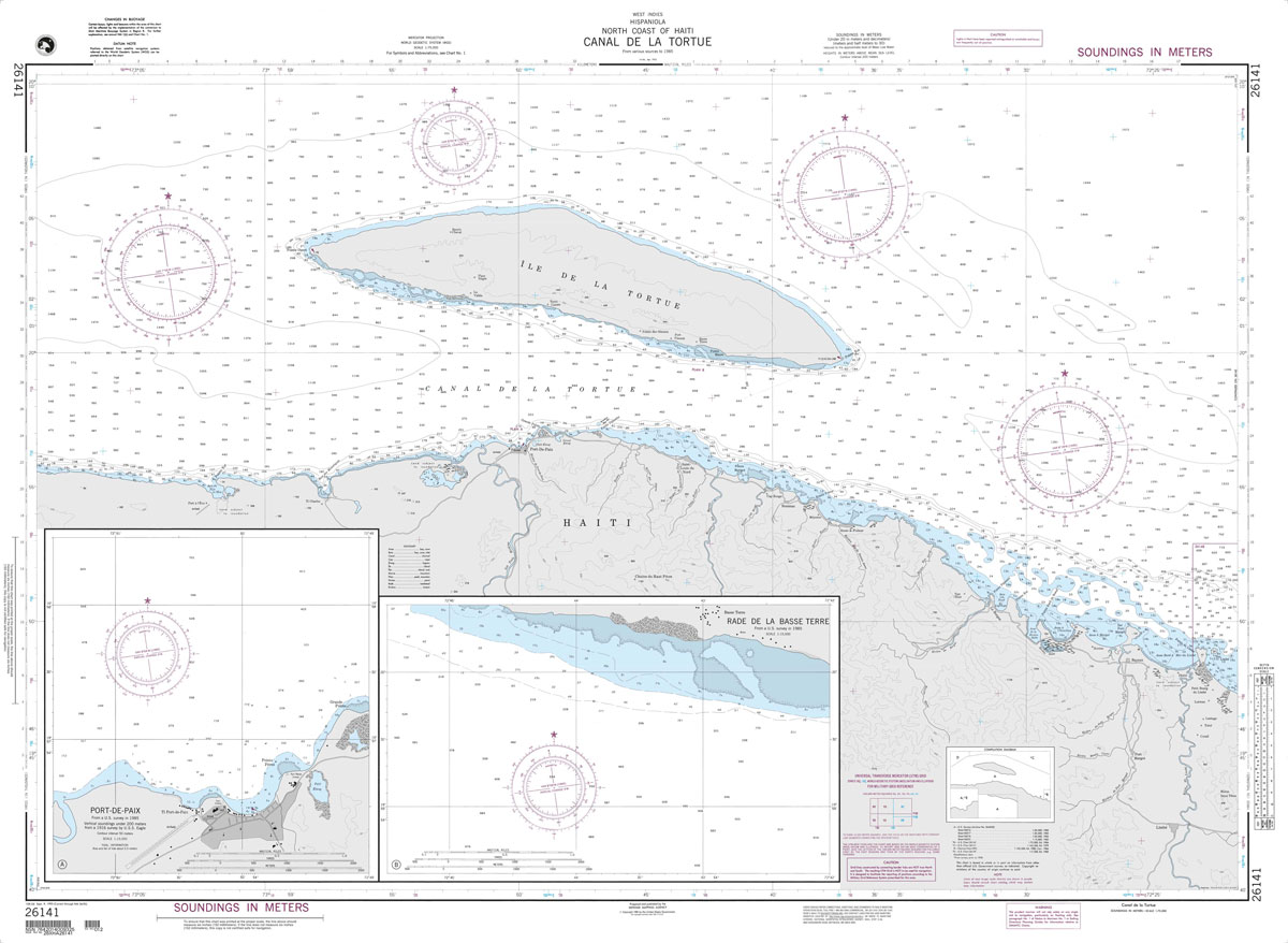
Produced by the US Government, National Geospatial-Intelligence Agency (NGA) charts provide information for the International Waters. They are printed on demand at our London shop and are supplied as flat charts.PLEASE NOTE: NGA charts are not updated often, therefore some may no longer be suitable for safe navigation and should be used for reference only.
NGA Chart 24028 – Gulf of Paria to Maroni River
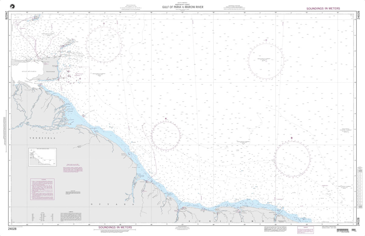
Produced by the US Government, National Geospatial-Intelligence Agency (NGA) charts provide information for the International Waters. They are printed on demand at our London shop and are supplied as flat charts.PLEASE NOTE: NGA charts are not updated often, therefore some may no longer be suitable for safe navigation and should be used for reference only.
NGA Chart 26142 – Approaches to Cap-Haitien and Bahia de Monte Cristi
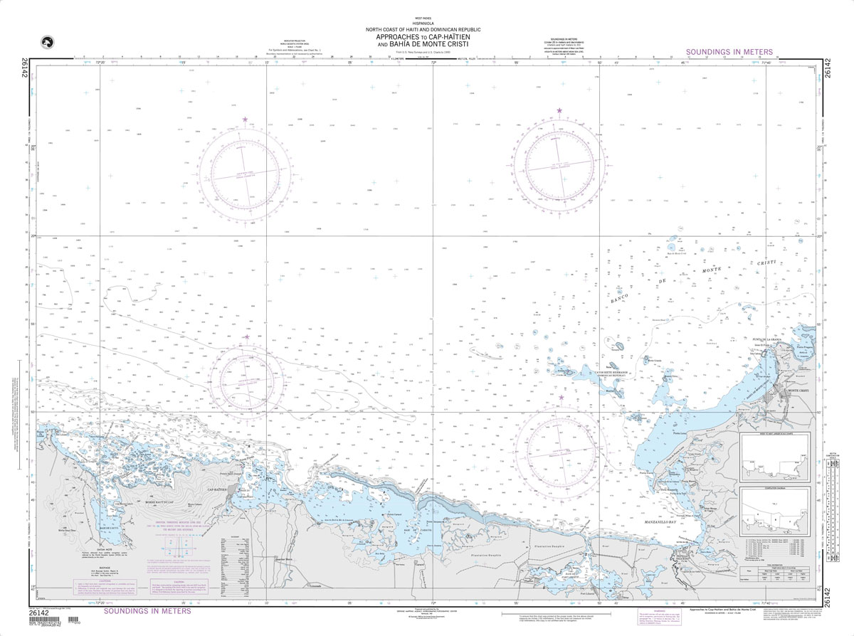
Produced by the US Government, National Geospatial-Intelligence Agency (NGA) charts provide information for the International Waters. They are printed on demand at our London shop and are supplied as flat charts.PLEASE NOTE: NGA charts are not updated often, therefore some may no longer be suitable for safe navigation and should be used for reference only.
NGA Chart 25700 – Mona Passage
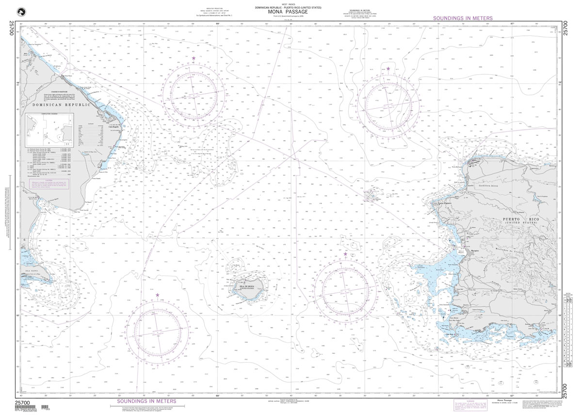
Produced by the US Government, National Geospatial-Intelligence Agency (NGA) charts provide information for the International Waters. They are printed on demand at our London shop and are supplied as flat charts.PLEASE NOTE: NGA charts are not updated often, therefore some may no longer be suitable for safe navigation and should be used for reference only.