Category Archives: Travel Guides
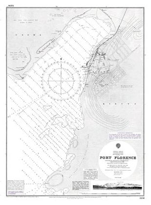
Admiralty Chart 3256 – Victoria Nyanza, Port Florence
Admiralty Chart 1309 – Hawaii to Oahu
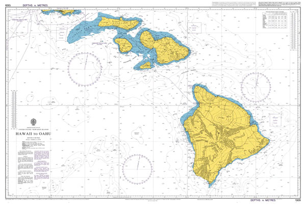
Admiralty standard nautical charts comply with Safety of Life at Sea (SOLAS) regulations and are ideal for professional, commercial and recreational use. Charts within the series consist of a range of scales, useful for passage planning, ocean crossings, coastal navigation and entering port.Standard Admiralty charts are folded to fit in a chart table drawer. If
Underground Map Oyster Wallet Green
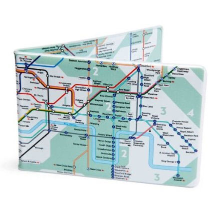
Crafted Lines’ London Underground Map Oyster wallet is the perfect sized accessory for carrying your travel tickets, cards and notes and is designed as the most stylish and practical way to carry your Oyster card for travel on the London Underground and buses.The card-holder`s surface is entirely covered by the Underground map, showing the complete
Admiralty Chart 1446 – Aberdeen Harbour
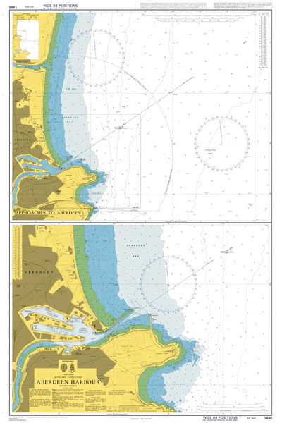
Admiralty standard nautical charts comply with Safety of Life at Sea (SOLAS) regulations and are ideal for professional, commercial and recreational use. Charts within the series consist of a range of scales, useful for passage planning, ocean crossings, coastal navigation and entering port.Standard Admiralty charts are folded to fit in a chart table drawer. If
Admiralty Chart 4074 – Cape Darnley to Tasmania
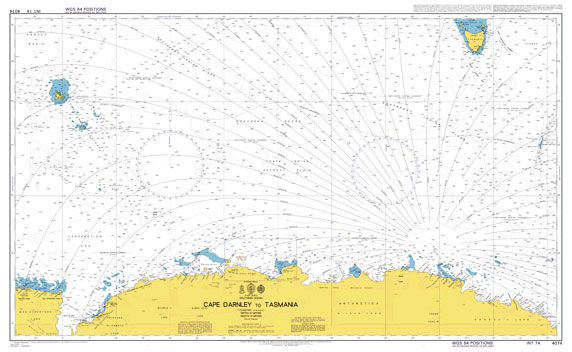
NEW EDITION OUT ON 20/08/2020Admiralty standard nautical charts comply with Safety of Life at Sea (SOLAS) regulations and are ideal for professional, commercial and recreational use. Charts within the series consist of a range of scales, useful for passage planning, ocean crossings, coastal navigation and entering port.Standard Admiralty charts are folded to fit in a
Admiralty Chart 4600 – New Zealand including Norfolk Island and Campbell Island
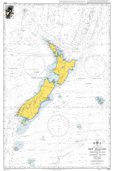
NEW EDITION OUT ON 20/08/2020Admiralty standard nautical charts comply with Safety of Life at Sea (SOLAS) regulations and are ideal for professional, commercial and recreational use. Charts within the series consist of a range of scales, useful for passage planning, ocean crossings, coastal navigation and entering port.Standard Admiralty charts are folded to fit in a
Admiralty Chart 118 – Ports In The Gulf Of Genoa
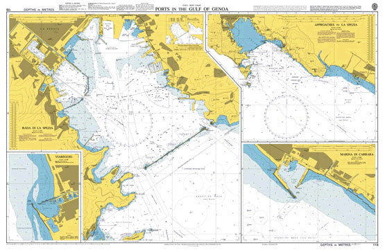
NEW EDITION OUT ON 16/04/2020Admiralty standard nautical charts comply with Safety of Life at Sea (SOLAS) regulations and are ideal for professional, commercial and recreational use. Charts within the series consist of a range of scales, useful for passage planning, ocean crossings, coastal navigation and entering port.Standard Admiralty charts are folded to fit in a
Flag of Scotland (St. Andrew`s cross) – Small
Flag of England (St. George`s Cross) – Small
Flag of Isle of Man
Admiralty Chart 3699 – Approaches to Port Everglades and Miami
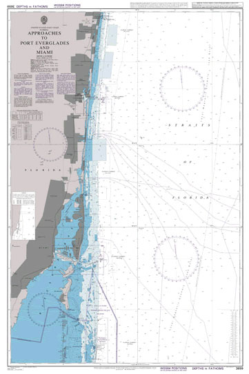
Admiralty standard nautical charts comply with Safety of Life at Sea (SOLAS) regulations and are ideal for professional, commercial and recreational use. Charts within the series consist of a range of scales, useful for passage planning, ocean crossings, coastal navigation and entering port.Standard Admiralty charts are folded to fit in a chart table drawer. If
Admiralty Chart 31 – Harbours on the South Coast of Cornwall

NEW EDITION OUT ON 17/09/2020Admiralty standard nautical charts comply with Safety of Life at Sea (SOLAS) regulations and are ideal for professional, commercial and recreational use. Charts within the series consist of a range of scales, useful for passage planning, ocean crossings, coastal navigation and entering port.Standard Admiralty charts are folded to fit in a
Admiralty Chart 4807 – San Francisco to Hawaii
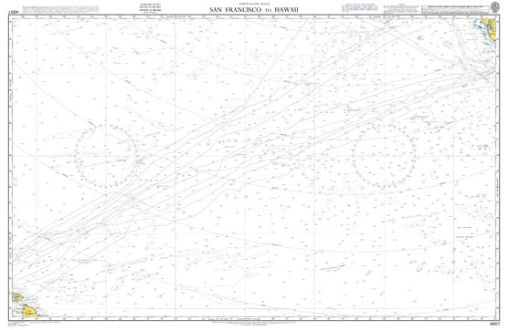
NEW EDITION OUT ON 17/09/2020Admiralty standard nautical charts comply with Safety of Life at Sea (SOLAS) regulations and are ideal for professional, commercial and recreational use. Charts within the series consist of a range of scales, useful for passage planning, ocean crossings, coastal navigation and entering port.Standard Admiralty charts are folded to fit in a
WWI Trench Map: Messines (part of sheet 28)

Messines (part of sheet 28) in a series of British Army trench maps from the WWI, reproduced by G.H. Smith & Son at approximately 7/10th of the original scales quoted against each title. The map shows an area from Wytschaete to Messines (Messen) with trenches corrected to 9.4.1916.Maps in this series show both the British
Admiralty Chart 2735 – Reykjavik
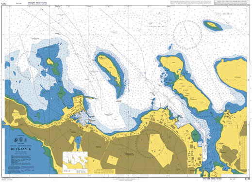
NEW EDITION ON 19/09/2019Admiralty standard nautical charts comply with Safety of Life at Sea (SOLAS) regulations and are ideal for professional, commercial and recreational use. Charts within the series consist of a range of scales, useful for passage planning, ocean crossings, coastal navigation and entering port.Standard Admiralty charts are folded to fit in a chart
WWI Trench Map: Ploegsteert Wood 28 SW 4 – ed. 4B)
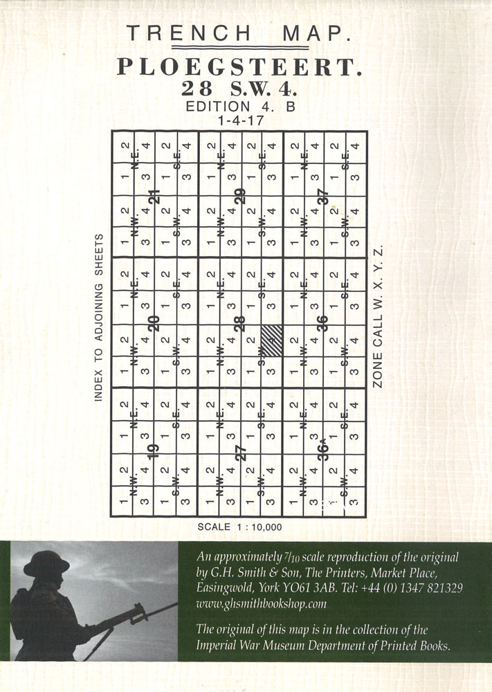
Ploegsteert (Plugstreet Wood – 28 SW 4 – ed. 4B) in a series of British Army trench maps from the WWI, reproduced by G.H. Smith & Son at approximately 7/10th of the original scales quoted against each title. The map shows trenches corrected to 1.4.1917.Maps in this series show both the British and the enemy
Admiralty Chart NZ53 – North Island – East Coast, Bream Head to Slipper Island including Hauraki Gulf
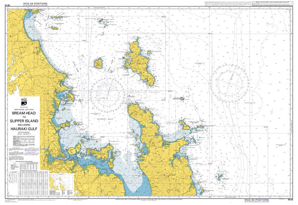
Admiralty standard nautical charts comply with Safety of Life at Sea (SOLAS) regulations and are ideal for professional, commercial and recreational use. Charts within the series consist of a range of scales, useful for passage planning, ocean crossings, coastal navigation and entering port.Standard Admiralty charts are folded to fit in a chart table drawer. If
WWI Trench Map: Thiepval Wood
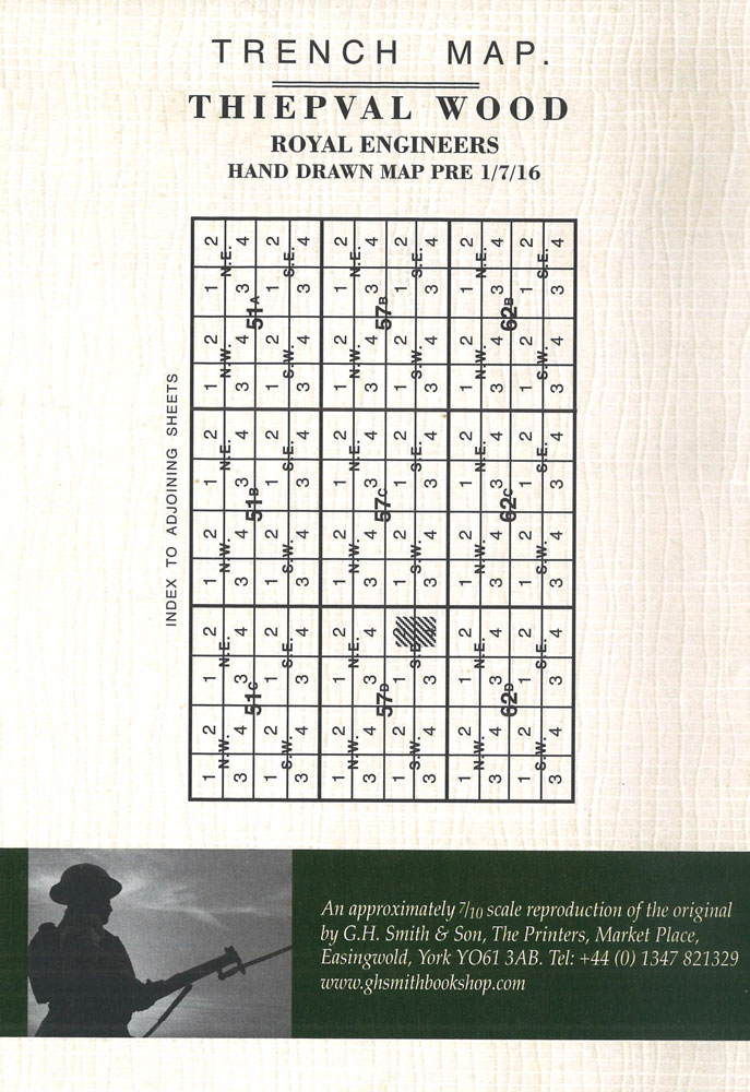
A hand-drawn pre-Battle of the Somme map from the Royal Engineers of Thiepval Wood in a series of British Army trench maps from the WWI, reproduced by G.H. Smith & Son at approximately 7/10th of the original scales quoted against each title. Maps in this series show both the British and the enemy trenches. Several
Admiralty Chart 1411 – Irish Sea Western Part

NEW EDITION OUT ON 15/04/2021Admiralty standard nautical charts comply with Safety of Life at Sea (SOLAS) regulations and are ideal for professional, commercial and recreational use. Charts within the series consist of a range of scales, useful for passage planning, ocean crossings, coastal navigation and entering port.Standard Admiralty charts are folded to fit in a
WWI Trench Map: Bixschoote (20 SW 4 – ed. 5A)

Bixschoote (20 SW 4 – ed. 5A) in a series of British Army trench maps from the WWI, reproduced by G.H. Smith & Son at approximately 7/10th of the original scales quoted against each title. The map shows trenches corrected to 30.6.1917 and covers the area east of the Yser canal, including the Ypres Salient,


