Category Archives: Travel Guides
NGA Chart 28130 – Cabo Gracias a Dios to Puerto Isabel

Produced by the US Government, National Geospatial-Intelligence Agency (NGA) charts provide information for the International Waters. They are printed on demand at our London shop and are supplied as flat charts.PLEASE NOTE: NGA charts are not updated often, therefore some may no longer be suitable for safe navigation and should be used for reference only.
NGA Chart 28140 – Northern Reaches to Cabo Gracias a Dios

Produced by the US Government, National Geospatial-Intelligence Agency (NGA) charts provide information for the International Waters. They are printed on demand at our London shop and are supplied as flat charts.PLEASE NOTE: NGA charts are not updated often, therefore some may no longer be suitable for safe navigation and should be used for reference only.
NGA Chart 28142 – Puerto Castilla
Produced by the US Government, National Geospatial-Intelligence Agency (NGA) charts provide information for the International Waters. They are printed on demand at our London shop and are supplied as flat charts.PLEASE NOTE: NGA charts are not updated often, therefore some may no longer be suitable for safe navigation and should be used for reference only.
NGA Chart 28143 – Isla de Utila
Produced by the US Government, National Geospatial-Intelligence Agency (NGA) charts provide information for the International Waters. They are printed on demand at our London shop and are supplied as flat charts.PLEASE NOTE: NGA charts are not updated often, therefore some may no longer be suitable for safe navigation and should be used for reference only.
NGA Chart 28144 – Port of La Ceiba
Produced by the US Government, National Geospatial-Intelligence Agency (NGA) charts provide information for the International Waters. They are printed on demand at our London shop and are supplied as flat charts.PLEASE NOTE: NGA charts are not updated often, therefore some may no longer be suitable for safe navigation and should be used for reference only.
NGA Chart 28150 – Cabo Farallones to Tela

Produced by the US Government, National Geospatial-Intelligence Agency (NGA) charts provide information for the International Waters. They are printed on demand at our London shop and are supplied as flat charts.PLEASE NOTE: NGA charts are not updated often, therefore some may no longer be suitable for safe navigation and should be used for reference only.
NGA Chart 28042 – Entrance to Laguna de Chiriqui and Chiriqui Grande
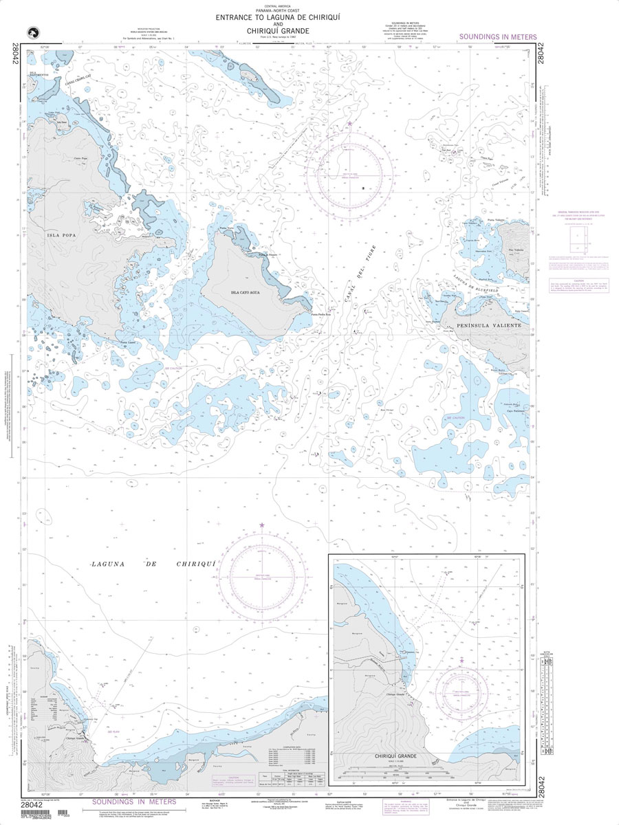
Produced by the US Government, National Geospatial-Intelligence Agency (NGA) charts provide information for the International Waters. They are printed on demand at our London shop and are supplied as flat charts.PLEASE NOTE: NGA charts are not updated often, therefore some may no longer be suitable for safe navigation and should be used for reference only.
ITU Manual For Use By The Maritime Mobile and Maritime Mobile-Satelite Services 2016 – CD only
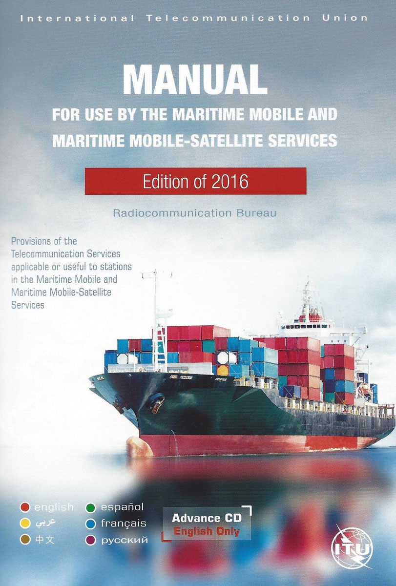
*** Please contact us on +44 (0)20 7759 7150 or maritime@stanfords.co.uk before ordering online ***The Manual for Use by the Maritime Mobile and Maritime Mobile-Satellite Services is published in accordance with Article 20 (No. 20.14) of the Radio Regulations and results from studies carried out in the ITU-R since 2008. Volume 1 provides descriptive text
NGA Chart 28049 – Approaches to Puerto Limon and Bahia de Moin
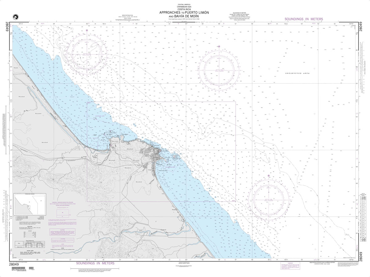
Produced by the US Government, National Geospatial-Intelligence Agency (NGA) charts provide information for the International Waters. They are printed on demand at our London shop and are supplied as flat charts.PLEASE NOTE: NGA charts are not updated often, therefore some may no longer be suitable for safe navigation and should be used for reference only.
NGA Chart 27163 – Bahia de Cienfuegos

Produced by the US Government, National Geospatial-Intelligence Agency (NGA) charts provide information for the International Waters. They are printed on demand at our London shop and are supplied as flat charts.PLEASE NOTE: NGA charts are not updated often, therefore some may no longer be suitable for safe navigation and should be used for reference only.
NGA Chart 28050 – Nicaraguan Rise – Western Part
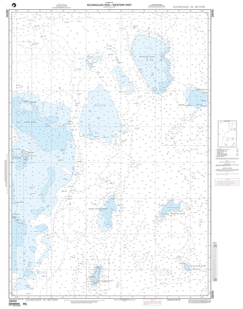
Produced by the US Government, National Geospatial-Intelligence Agency (NGA) charts provide information for the International Waters. They are printed on demand at our London shop and are supplied as flat charts.PLEASE NOTE: NGA charts are not updated often, therefore some may no longer be suitable for safe navigation and should be used for reference only.
NGA Chart 27183 – Approaches to the Port of Casilda
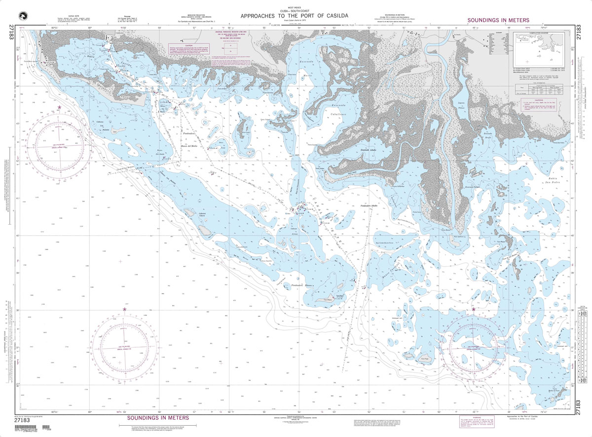
Produced by the US Government, National Geospatial-Intelligence Agency (NGA) charts provide information for the International Waters. They are printed on demand at our London shop and are supplied as flat charts.PLEASE NOTE: NGA charts are not updated often, therefore some may no longer be suitable for safe navigation and should be used for reference only.
NGA Chart 28051 – Puerto Limon and Bahia de Moin

Produced by the US Government, National Geospatial-Intelligence Agency (NGA) charts provide information for the International Waters. They are printed on demand at our London shop and are supplied as flat charts.PLEASE NOTE: NGA charts are not updated often, therefore some may no longer be suitable for safe navigation and should be used for reference only.
NGA Chart 27184 – Punta Colorado to Jucaro
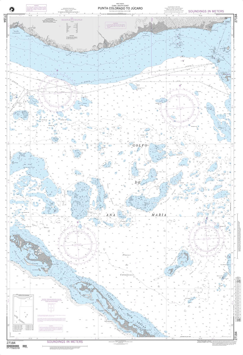
Produced by the US Government, National Geospatial-Intelligence Agency (NGA) charts provide information for the International Waters. They are printed on demand at our London shop and are supplied as flat charts.PLEASE NOTE: NGA charts are not updated often, therefore some may no longer be suitable for safe navigation and should be used for reference only.
NGA Chart 28054 – Bahia Almirante
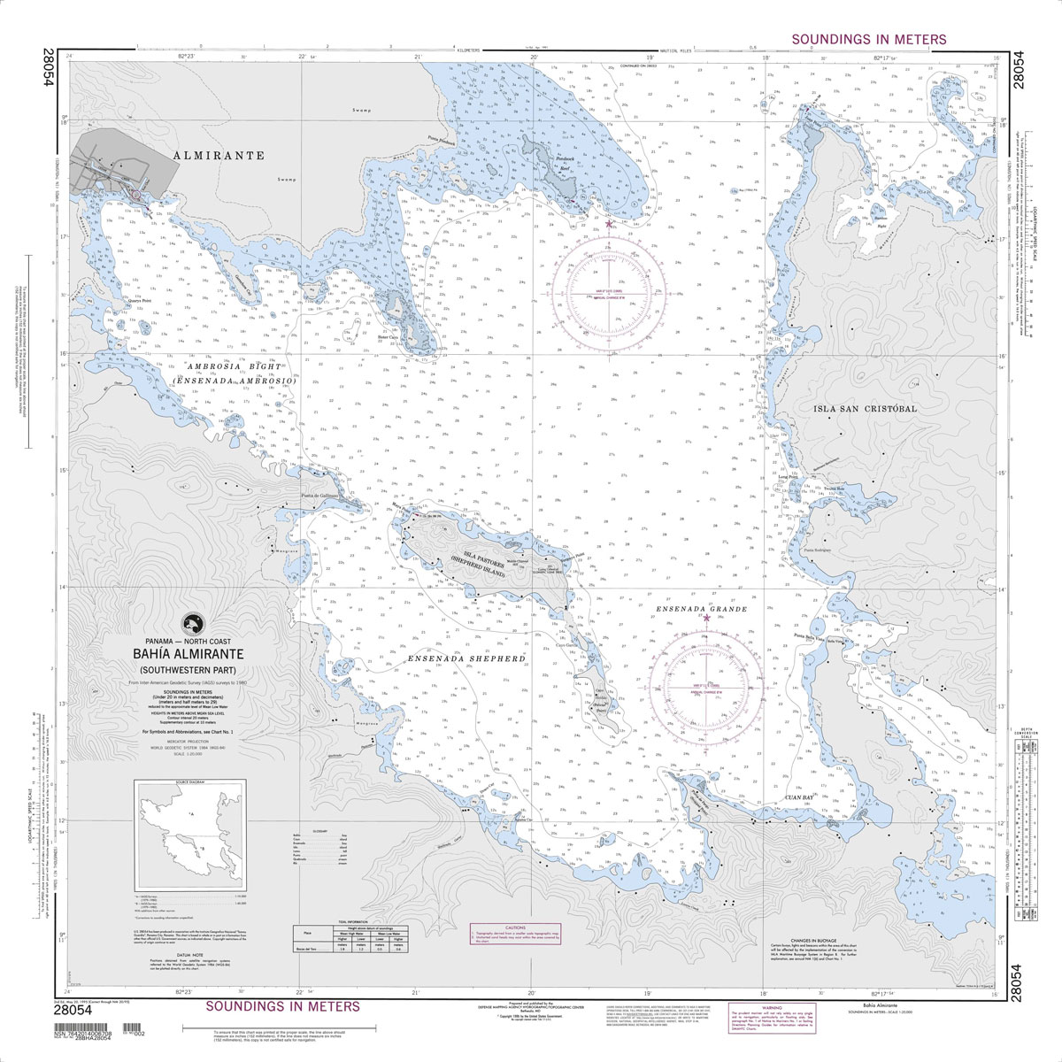
Produced by the US Government, National Geospatial-Intelligence Agency (NGA) charts provide information for the International Waters. They are printed on demand at our London shop and are supplied as flat charts.PLEASE NOTE: NGA charts are not updated often, therefore some may no longer be suitable for safe navigation and should be used for reference only.
NGA Chart 27186 – Tunas de Zaza and Approaches
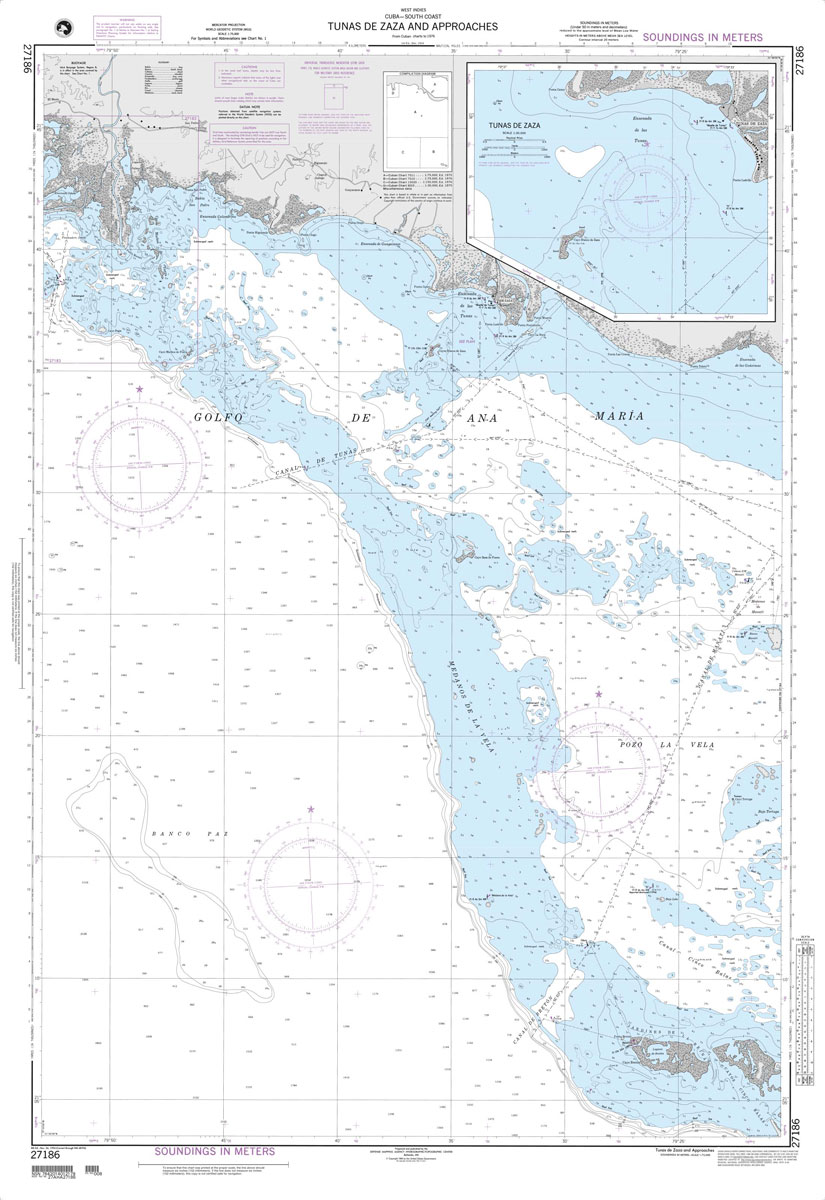
Produced by the US Government, National Geospatial-Intelligence Agency (NGA) charts provide information for the International Waters. They are printed on demand at our London shop and are supplied as flat charts.PLEASE NOTE: NGA charts are not updated often, therefore some may no longer be suitable for safe navigation and should be used for reference only.
NGA Chart 27201 – Jucaro to Cayos Gitanos
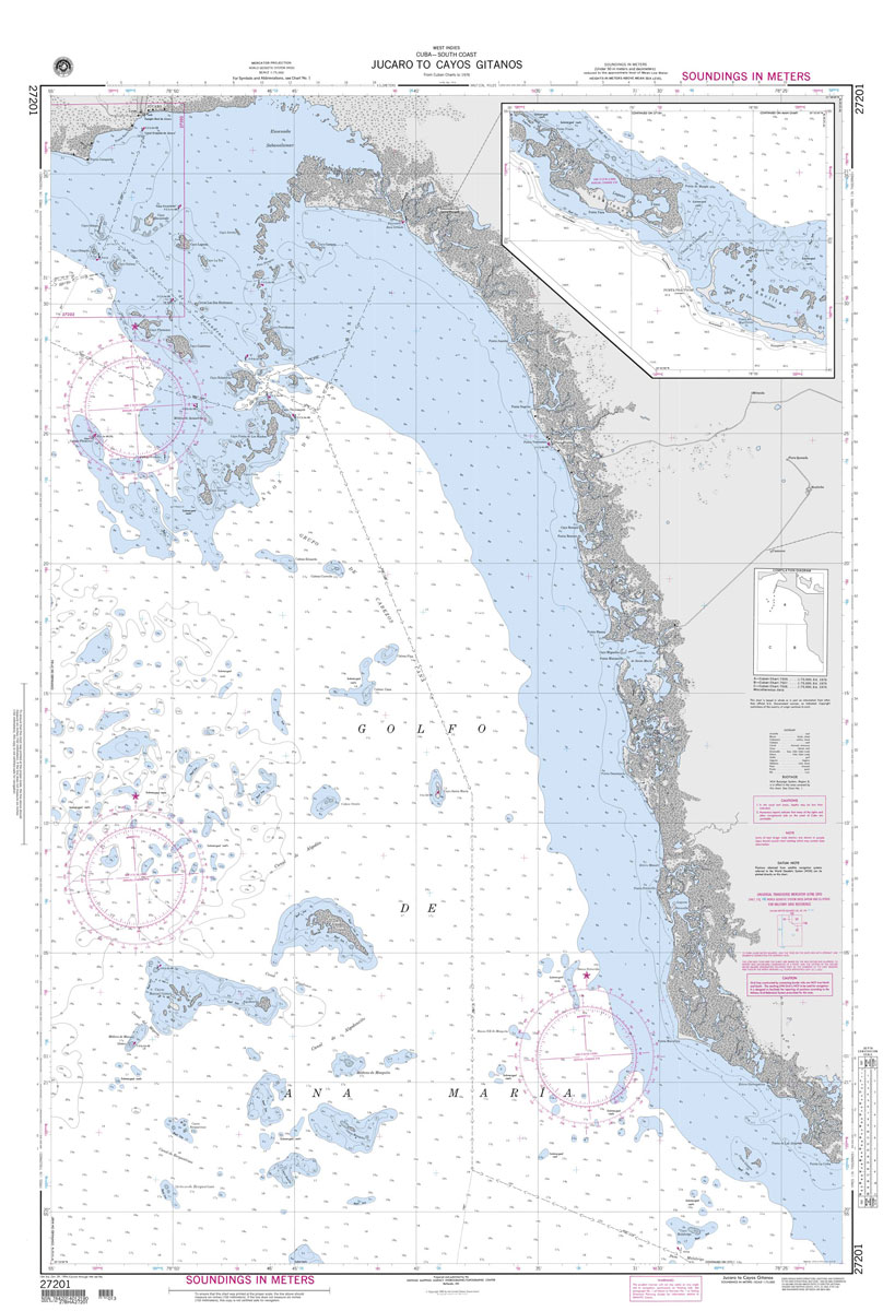
Produced by the US Government, National Geospatial-Intelligence Agency (NGA) charts provide information for the International Waters. They are printed on demand at our London shop and are supplied as flat charts.PLEASE NOTE: NGA charts are not updated often, therefore some may no longer be suitable for safe navigation and should be used for reference only.
NGA Chart 27202 – Punta Charcas to Jucaro
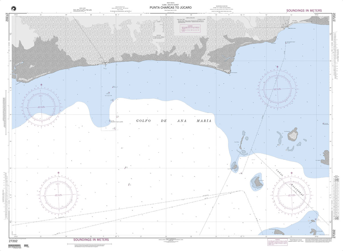
Produced by the US Government, National Geospatial-Intelligence Agency (NGA) charts provide information for the International Waters. They are printed on demand at our London shop and are supplied as flat charts.PLEASE NOTE: NGA charts are not updated often, therefore some may no longer be suitable for safe navigation and should be used for reference only.
NGA Chart 27206 – Niquero to Manzanillo

Produced by the US Government, National Geospatial-Intelligence Agency (NGA) charts provide information for the International Waters. They are printed on demand at our London shop and are supplied as flat charts.PLEASE NOTE: NGA charts are not updated often, therefore some may no longer be suitable for safe navigation and should be used for reference only.
NGA Chart 27207 – Punta San Jose to Manzanillo
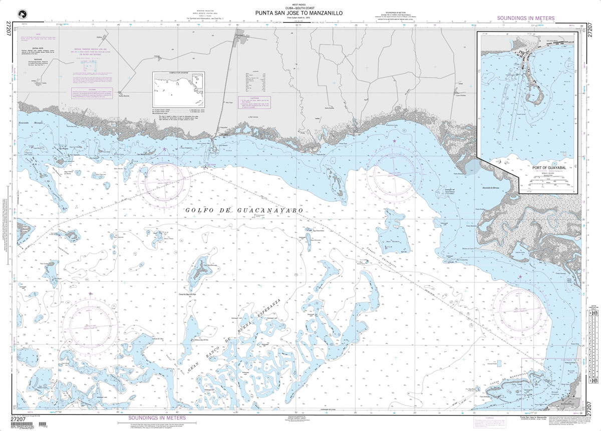
Produced by the US Government, National Geospatial-Intelligence Agency (NGA) charts provide information for the International Waters. They are printed on demand at our London shop and are supplied as flat charts.PLEASE NOTE: NGA charts are not updated often, therefore some may no longer be suitable for safe navigation and should be used for reference only.