Category Archives: Travel Guides
NGA Chart 29127 – Martha Strait to Argentine Islands
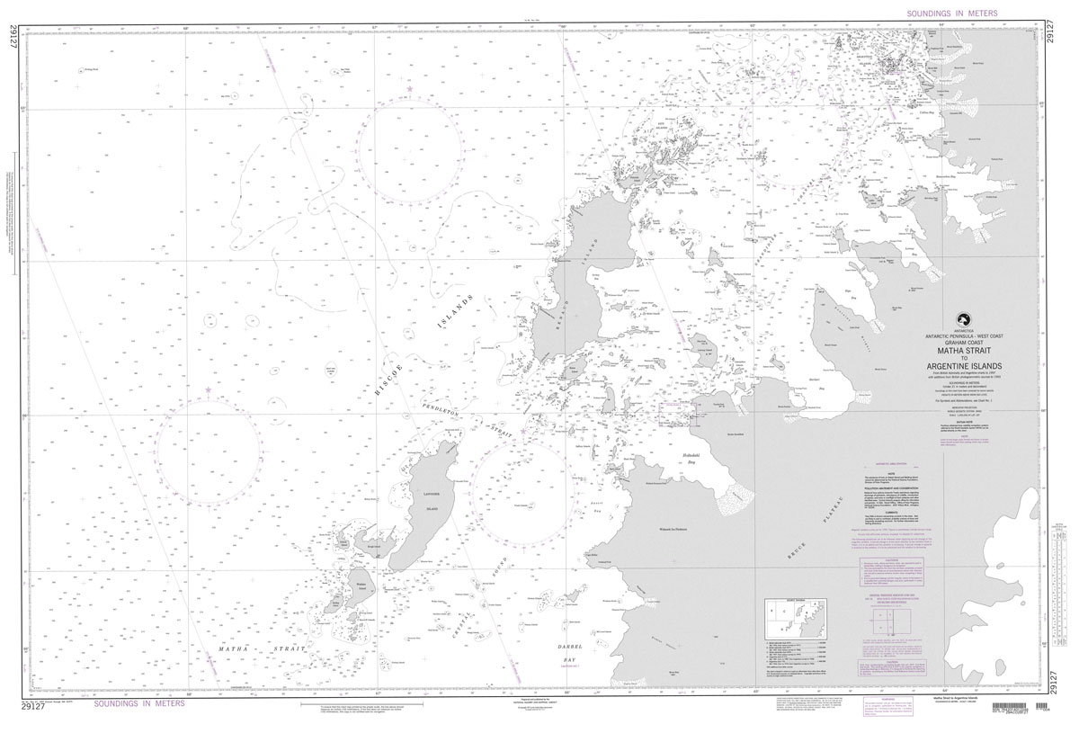
Produced by the US Government, National Geospatial-Intelligence Agency (NGA) charts provide information for the International Waters. They are printed on demand at our London shop and are supplied as flat charts.PLEASE NOTE: NGA charts are not updated often, therefore some may no longer be suitable for safe navigation and should be used for reference only.
NGA Chart 29128 – Corry Island to Robertson Island
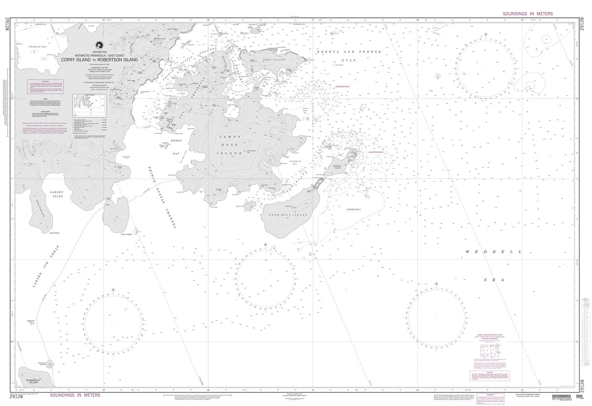
Produced by the US Government, National Geospatial-Intelligence Agency (NGA) charts provide information for the International Waters. They are printed on demand at our London shop and are supplied as flat charts.PLEASE NOTE: NGA charts are not updated often, therefore some may no longer be suitable for safe navigation and should be used for reference only.
NGA Chart 29141 – Square Bay to Matha Strait Including Ade
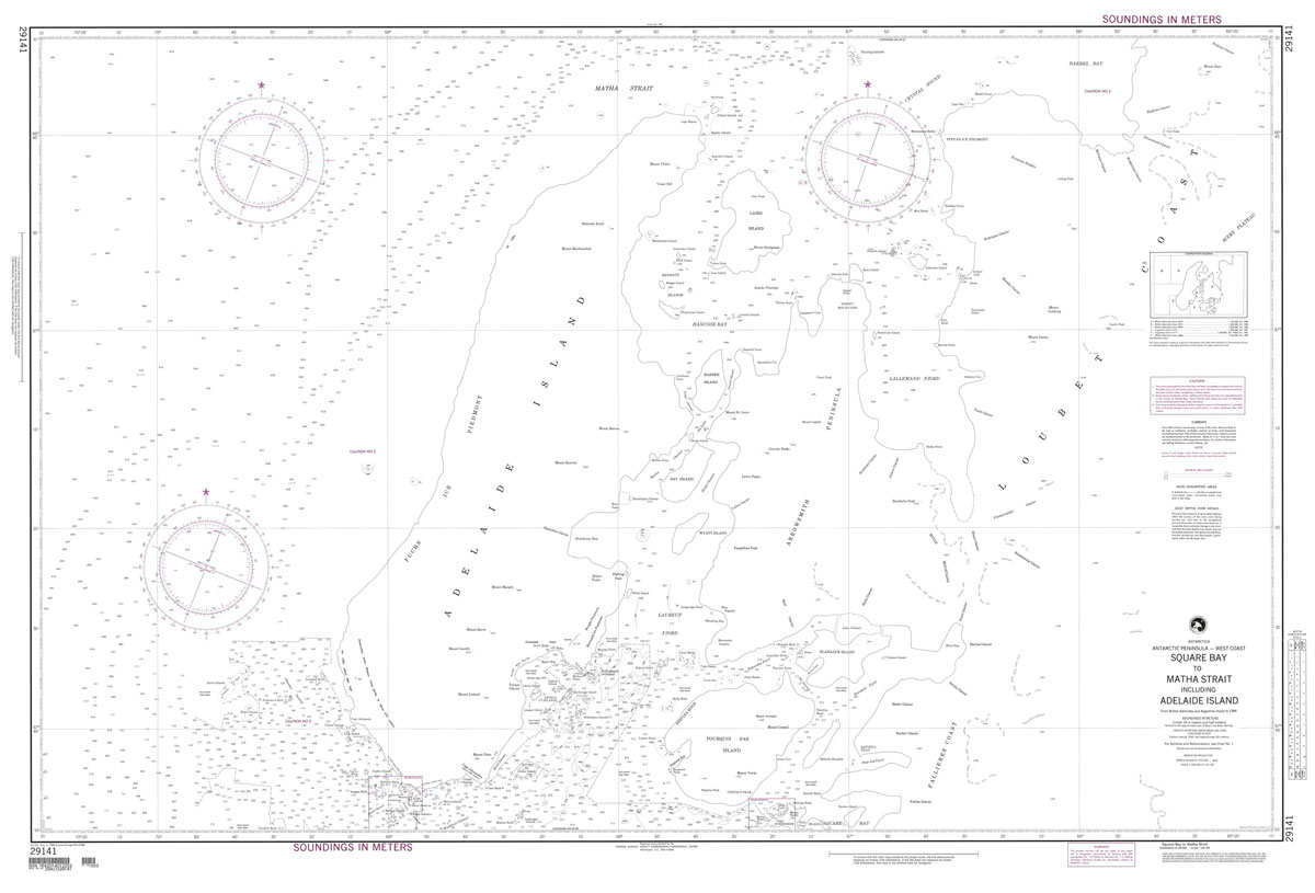
Produced by the US Government, National Geospatial-Intelligence Agency (NGA) charts provide information for the International Waters. They are printed on demand at our London shop and are supplied as flat charts.PLEASE NOTE: NGA charts are not updated often, therefore some may no longer be suitable for safe navigation and should be used for reference only.
NGA Chart 29142 – Alexander I to Square B Incl. Marguerite
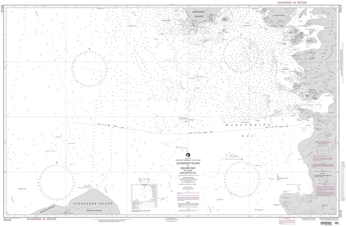
Produced by the US Government, National Geospatial-Intelligence Agency (NGA) charts provide information for the International Waters. They are printed on demand at our London shop and are supplied as flat charts.PLEASE NOTE: NGA charts are not updated often, therefore some may no longer be suitable for safe navigation and should be used for reference only.
NGA Chart 29018 – Porpoise Bay to West Ice Shelf
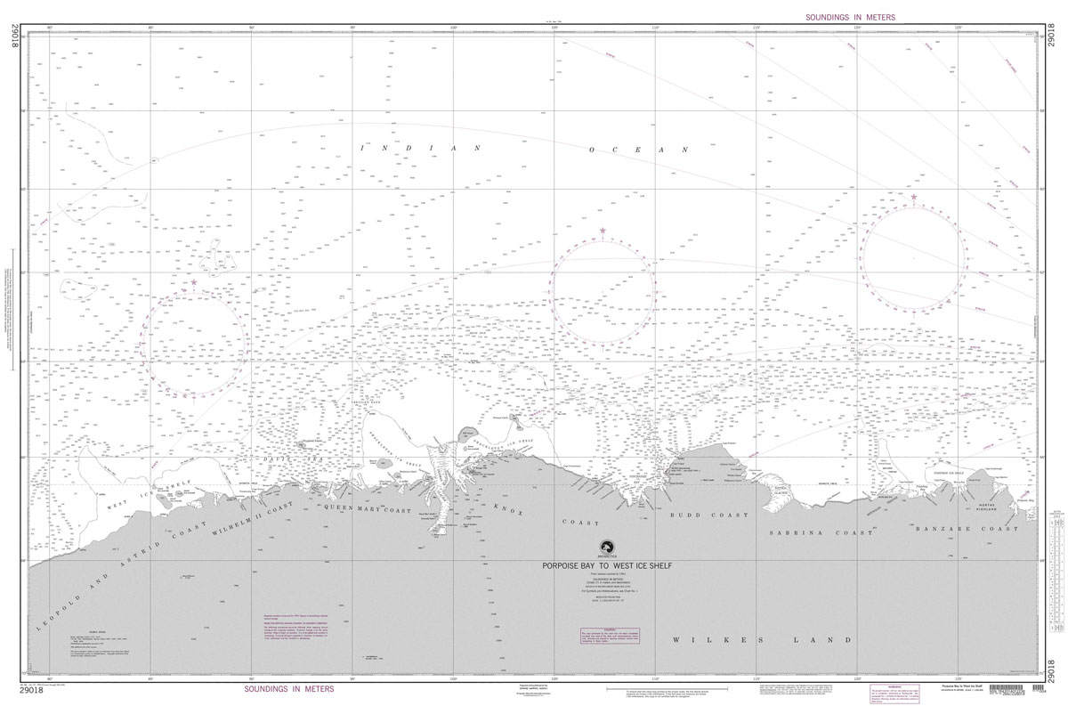
Produced by the US Government, National Geospatial-Intelligence Agency (NGA) charts provide information for the International Waters. They are printed on demand at our London shop and are supplied as flat charts.PLEASE NOTE: NGA charts are not updated often, therefore some may no longer be suitable for safe navigation and should be used for reference only.
NGA Chart 29180 – Eights Cst and George Bryan Cst
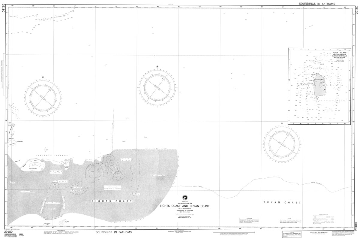
Produced by the US Government, National Geospatial-Intelligence Agency (NGA) charts provide information for the International Waters. They are printed on demand at our London shop and are supplied as flat charts.PLEASE NOTE: NGA charts are not updated often, therefore some may no longer be suitable for safe navigation and should be used for reference only.
NGA Chart 28130 – Cabo Gracias a Dios to Puerto Isabel

Produced by the US Government, National Geospatial-Intelligence Agency (NGA) charts provide information for the International Waters. They are printed on demand at our London shop and are supplied as flat charts.PLEASE NOTE: NGA charts are not updated often, therefore some may no longer be suitable for safe navigation and should be used for reference only.
NGA Chart 28140 – Northern Reaches to Cabo Gracias a Dios

Produced by the US Government, National Geospatial-Intelligence Agency (NGA) charts provide information for the International Waters. They are printed on demand at our London shop and are supplied as flat charts.PLEASE NOTE: NGA charts are not updated often, therefore some may no longer be suitable for safe navigation and should be used for reference only.
NGA Chart 28142 – Puerto Castilla
Produced by the US Government, National Geospatial-Intelligence Agency (NGA) charts provide information for the International Waters. They are printed on demand at our London shop and are supplied as flat charts.PLEASE NOTE: NGA charts are not updated often, therefore some may no longer be suitable for safe navigation and should be used for reference only.
NGA Chart 28143 – Isla de Utila
Produced by the US Government, National Geospatial-Intelligence Agency (NGA) charts provide information for the International Waters. They are printed on demand at our London shop and are supplied as flat charts.PLEASE NOTE: NGA charts are not updated often, therefore some may no longer be suitable for safe navigation and should be used for reference only.
NGA Chart 28144 – Port of La Ceiba
Produced by the US Government, National Geospatial-Intelligence Agency (NGA) charts provide information for the International Waters. They are printed on demand at our London shop and are supplied as flat charts.PLEASE NOTE: NGA charts are not updated often, therefore some may no longer be suitable for safe navigation and should be used for reference only.
NGA Chart 28150 – Cabo Farallones to Tela

Produced by the US Government, National Geospatial-Intelligence Agency (NGA) charts provide information for the International Waters. They are printed on demand at our London shop and are supplied as flat charts.PLEASE NOTE: NGA charts are not updated often, therefore some may no longer be suitable for safe navigation and should be used for reference only.
NGA Chart 28151 – Approaches to Puerto Castilla
Produced by the US Government, National Geospatial-Intelligence Agency (NGA) charts provide information for the International Waters. They are printed on demand at our London shop and are supplied as flat charts.PLEASE NOTE: NGA charts are not updated often, therefore some may no longer be suitable for safe navigation and should be used for reference only.
NGA Chart 28153 – Coxen Hole and French Harbor
Produced by the US Government, National Geospatial-Intelligence Agency (NGA) charts provide information for the International Waters. They are printed on demand at our London shop and are supplied as flat charts.PLEASE NOTE: NGA charts are not updated often, therefore some may no longer be suitable for safe navigation and should be used for reference only.
NGA Chart 28154 – Approches to la Ceiba
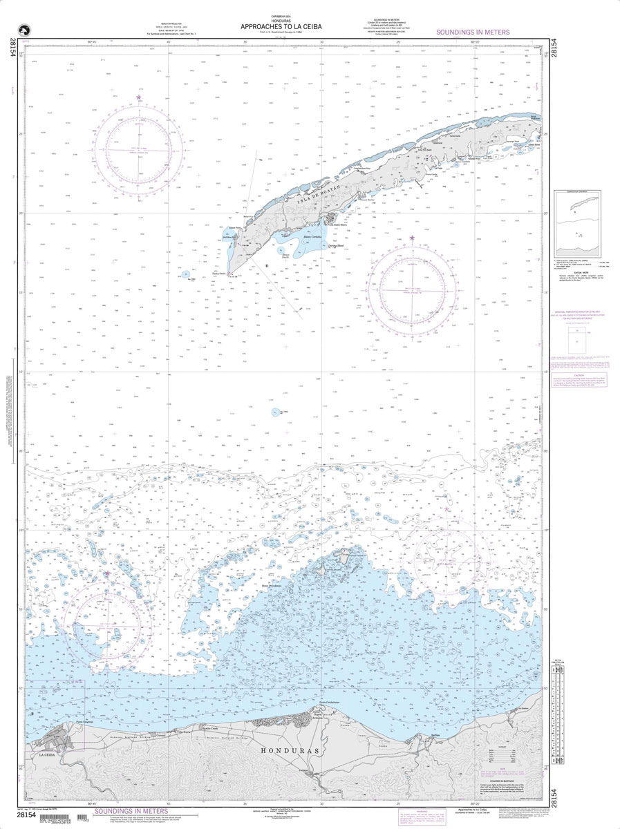
Produced by the US Government, National Geospatial-Intelligence Agency (NGA) charts provide information for the International Waters. They are printed on demand at our London shop and are supplied as flat charts.PLEASE NOTE: NGA charts are not updated often, therefore some may no longer be suitable for safe navigation and should be used for reference only.
NGA Chart 28161 – Puerto de Tela and Approaches
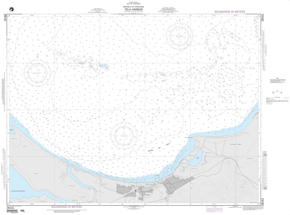
Produced by the US Government, National Geospatial-Intelligence Agency (NGA) charts provide information for the International Waters. They are printed on demand at our London shop and are supplied as flat charts.PLEASE NOTE: NGA charts are not updated often, therefore some may no longer be suitable for safe navigation and should be used for reference only.
NGA Chart 28162 – Tela to Pelican Cays

Produced by the US Government, National Geospatial-Intelligence Agency (NGA) charts provide information for the International Waters. They are printed on demand at our London shop and are supplied as flat charts.PLEASE NOTE: NGA charts are not updated often, therefore some may no longer be suitable for safe navigation and should be used for reference only.
NGA Chart 28082 – Bluefields
Produced by the US Government, National Geospatial-Intelligence Agency (NGA) charts provide information for the International Waters. They are printed on demand at our London shop and are supplied as flat charts.PLEASE NOTE: NGA charts are not updated often, therefore some may no longer be suitable for safe navigation and should be used for reference only.
NGA Chart 28164 – Approaches to Puerto Barrios and Santa
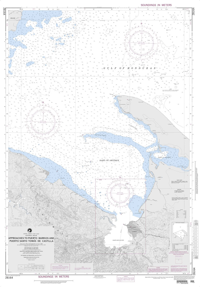
Produced by the US Government, National Geospatial-Intelligence Agency (NGA) charts provide information for the International Waters. They are printed on demand at our London shop and are supplied as flat charts.PLEASE NOTE: NGA charts are not updated often, therefore some may no longer be suitable for safe navigation and should be used for reference only.
NGA Chart 28103 – Cayos Vivorillo Becerro and Caratasca
Produced by the US Government, National Geospatial-Intelligence Agency (NGA) charts provide information for the International Waters. They are printed on demand at our London shop and are supplied as flat charts.PLEASE NOTE: NGA charts are not updated often, therefore some may no longer be suitable for safe navigation and should be used for reference only.