Category Archives: Travel Guides
CHS Chart 7134 – Robinson Bay and Approaches
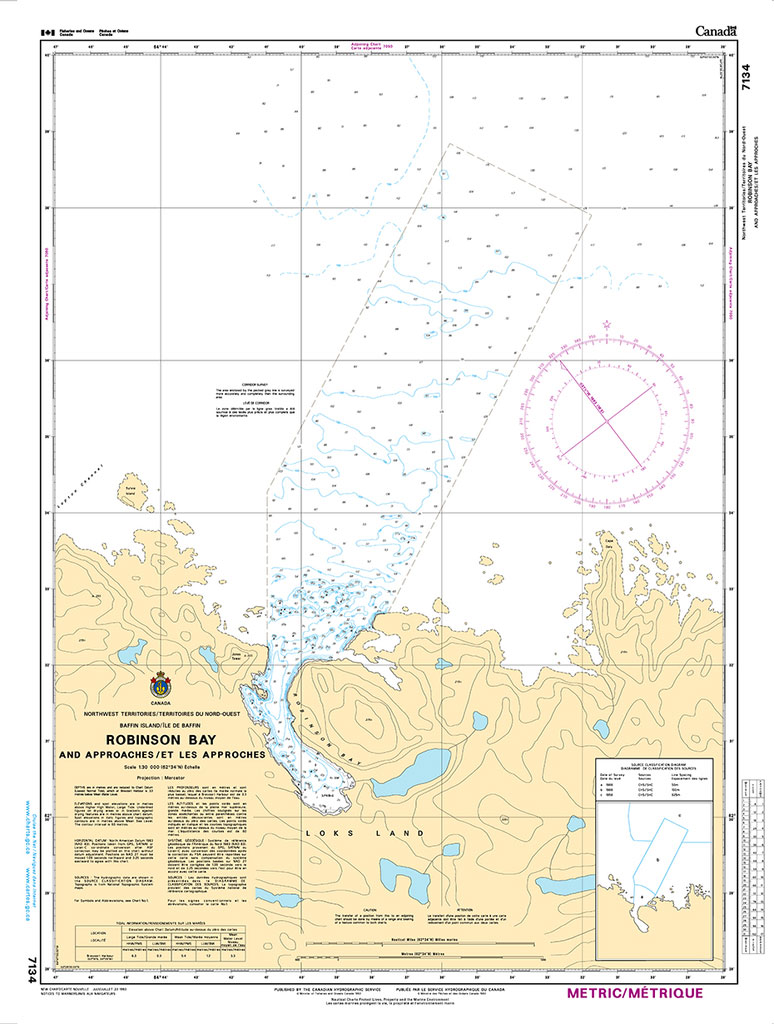
The official Canadian charts provide an excellent range of scales for the whole length of Canada`s coastline as well as the Grat Lakes and comply with Safety of Life at Sea (SOLAS) regulations.PLEASE NOTE: Canadian Hydrographic Service charts are ordered on demand, please allow 1-2 weeks for the order to arrive at Stanfords.
CHS Chart 7135 – Brevoort Harbour
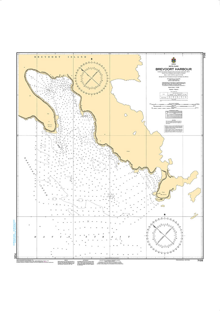
The official Canadian charts provide an excellent range of scales for the whole length of Canada`s coastline as well as the Grat Lakes and comply with Safety of Life at Sea (SOLAS) regulations.PLEASE NOTE: Canadian Hydrographic Service charts are ordered on demand, please allow 1-2 weeks for the order to arrive at Stanfords.
CHS Chart 7136 – Cape Mercy and Approaches
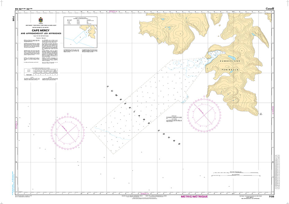
The official Canadian charts provide an excellent range of scales for the whole length of Canada`s coastline as well as the Grat Lakes and comply with Safety of Life at Sea (SOLAS) regulations.PLEASE NOTE: Canadian Hydrographic Service charts are ordered on demand, please allow 1-2 weeks for the order to arrive at Stanfords.
CHS Chart 7150 – Pangnirtung and Approaches
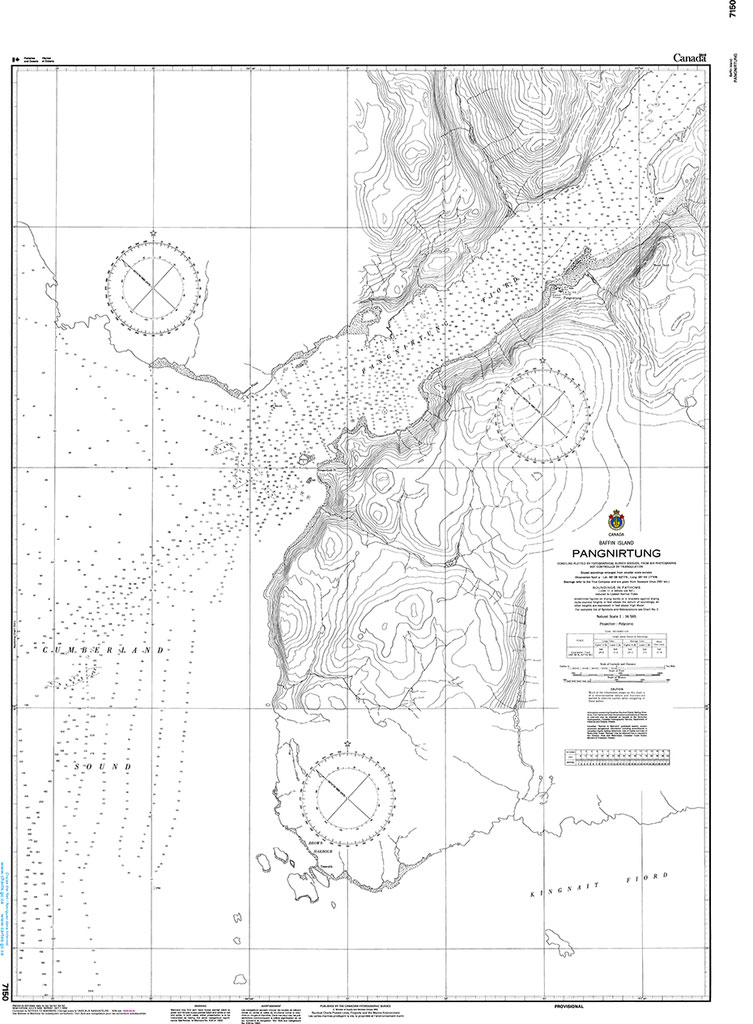
The official Canadian charts provide an excellent range of scales for the whole length of Canada`s coastline as well as the Grat Lakes and comply with Safety of Life at Sea (SOLAS) regulations.PLEASE NOTE: Canadian Hydrographic Service charts are ordered on demand, please allow 1-2 weeks for the order to arrive at Stanfords.
CHS Chart 7180 – Padloping Island and Approaches
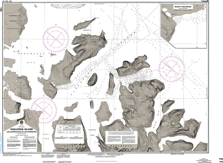
The official Canadian charts provide an excellent range of scales for the whole length of Canada`s coastline as well as the Grat Lakes and comply with Safety of Life at Sea (SOLAS) regulations.PLEASE NOTE: Canadian Hydrographic Service charts are ordered on demand, please allow 1-2 weeks for the order to arrive at Stanfords.
CHS Chart 7511 – Resolute Passage
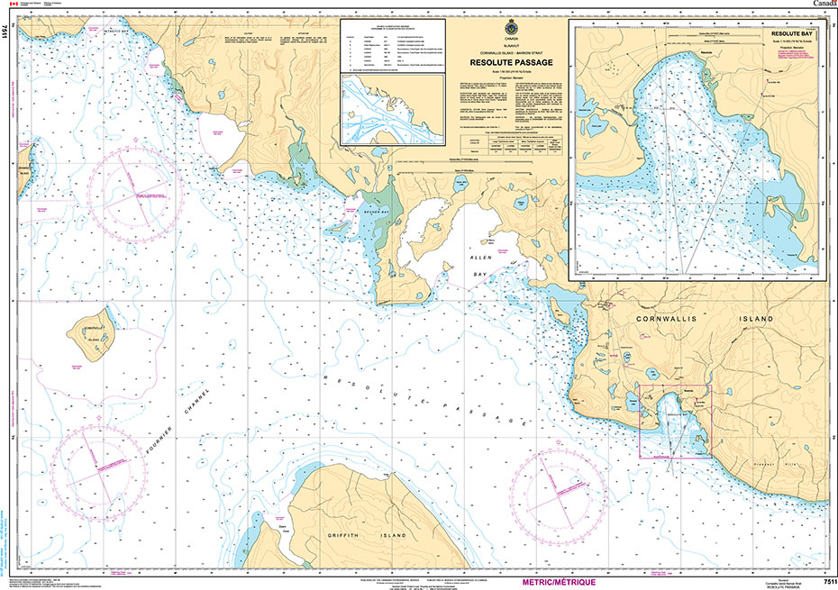
The official Canadian charts provide an excellent range of scales for the whole length of Canada`s coastline as well as the Grat Lakes and comply with Safety of Life at Sea (SOLAS) regulations.PLEASE NOTE: Canadian Hydrographic Service charts are ordered on demand, please allow 1-2 weeks for the order to arrive at Stanfords.
CHS Chart 7527 – Erebus and Terror Bay and Radstock Bay
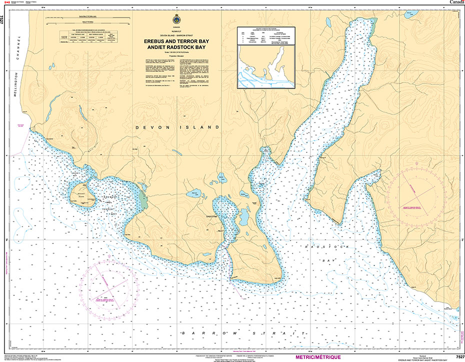
The official Canadian charts provide an excellent range of scales for the whole length of Canada`s coastline as well as the Grat Lakes and comply with Safety of Life at Sea (SOLAS) regulations.PLEASE NOTE: Canadian Hydrographic Service charts are ordered on demand, please allow 1-2 weeks for the order to arrive at Stanfords.
NP58B Norway Pilot Volume 3B – Digital

ADMIRALTY Sailing Directions are available as an ADMIRALTY e-Nautical Publications (AENPs). AENPs bring improved efficiency, accuracy and access to information bridge crews need through electronic NM updates and simple search functionality. Sailing directions are split into 76 volumes and coverage includes the world’s main commercial shipping routes and ports.Please note that AENPs are sold on
CHS Chart 5049 – Davis Inlet to Seniartlit Islands
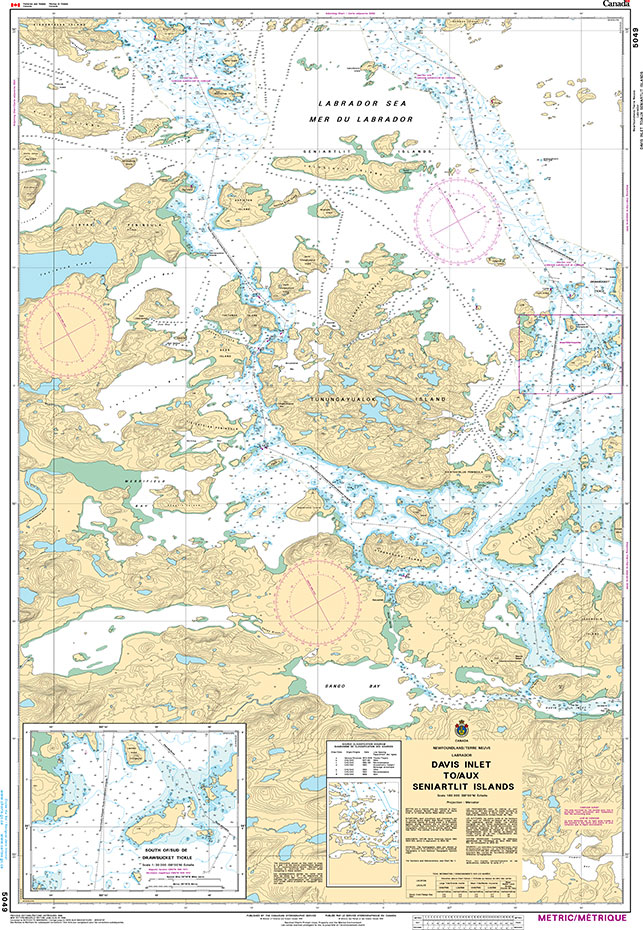
The official Canadian charts provide an excellent range of scales for the whole length of Canada`s coastline as well as the Grat Lakes and comply with Safety of Life at Sea (SOLAS) regulations.PLEASE NOTE: Canadian Hydrographic Service charts are ordered on demand, please allow 1-2 weeks for the order to arrive at Stanfords.
NP66A South West Coast of Scotland Pilot – Digital
ADMIRALTY Sailing Directions are available as an ADMIRALTY e-Nautical Publications (AENPs). AENPs bring improved efficiency, accuracy and access to information bridge crews need through electronic NM updates and simple search functionality. Sailing directions are split into 76 volumes and coverage includes the world’s main commercial shipping routes and ports.Please note that AENPs are sold on
NP66B North West Coast of Scotland Pilot – Digital
ADMIRALTY Sailing Directions are available as an ADMIRALTY e-Nautical Publications (AENPs). AENPs bring improved efficiency, accuracy and access to information bridge crews need through electronic NM updates and simple search functionality. Sailing directions are split into 76 volumes and coverage includes the world’s main commercial shipping routes and ports.Please note that AENPs are sold on
NP67 West Coasts of Spain and Portugal Pilot – Digital
ADMIRALTY Sailing Directions are available as an ADMIRALTY e-Nautical Publications (AENPs). AENPs bring improved efficiency, accuracy and access to information bridge crews need through electronic NM updates and simple search functionality. Sailing directions are split into 76 volumes and coverage includes the world’s main commercial shipping routes and ports.Please note that AENPs are sold on
ADMIRALTY Total Tide Area 7 – Australia, Indonesia & Papua New Guinea – 12 Months
***Please visit this page to enquire about ordering Admiralty Digital Products. Additional information is needed to set up your license on the UKHO database.***ADMIRALTY Total Tide provides bridge crews with fast, accurate tidal height and tidal stream predictions for more than 7,000 ports and 3,000 tidal streams worldwide. Key features of ATT include:- Accurate tidal
Ballast Water Management Convention and BWMS Code with Guidelines for Implementation – E-Reader
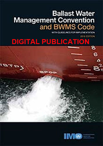
Please allow 1-2 working days for the license to be issued by email. *************************************************************The International Convention for the Control and Management of Ships’ Ballast Water and Sediments, 2004 (BWM Convention), is concerned with preventing, minimizing and ultimately eliminating the risks to the environment, human health, property and resources arising from the transfer of harmful aquatic
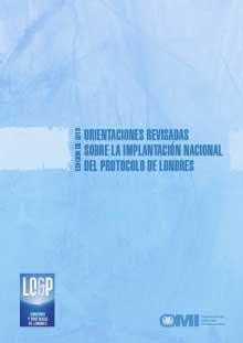
Revised Guidance on the National Implementation of the London Protocol – E-Reader
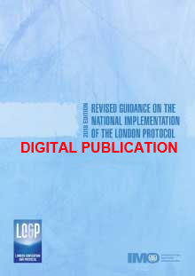
Please allow 1-2 working days for the license to be issued by email. This publication only constitutes guidance and is intended to assist national administrations in implementing the London Protocol, whether they are currently Contracting Parties or simply interested in becoming Parties. It is not to be construed as providing definitive interpretations of the Protocol
Admiralty Chart 1151 – Bristol Channel, Bridgwater Bay

Admiralty standard nautical charts comply with Safety of Life at Sea (SOLAS) regulations and are ideal for professional, commercial and recreational use. Charts within the series consist of a range of scales, useful for passage planning, ocean crossings, coastal navigation and entering port.Standard Admiralty charts are folded to fit in a chart table drawer. If
SOLAS Training Manual
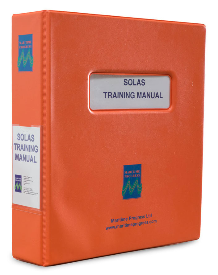
The SOLAS Training Manual complies with SOLAS, Chapter III, Part B, Regulation 35. Covering the basic training requirements of SOLAS and has sections arranged for inclusion of ship specific information allowing the manual to be tailored to specific vessels.
Fire Fighting Training Manual
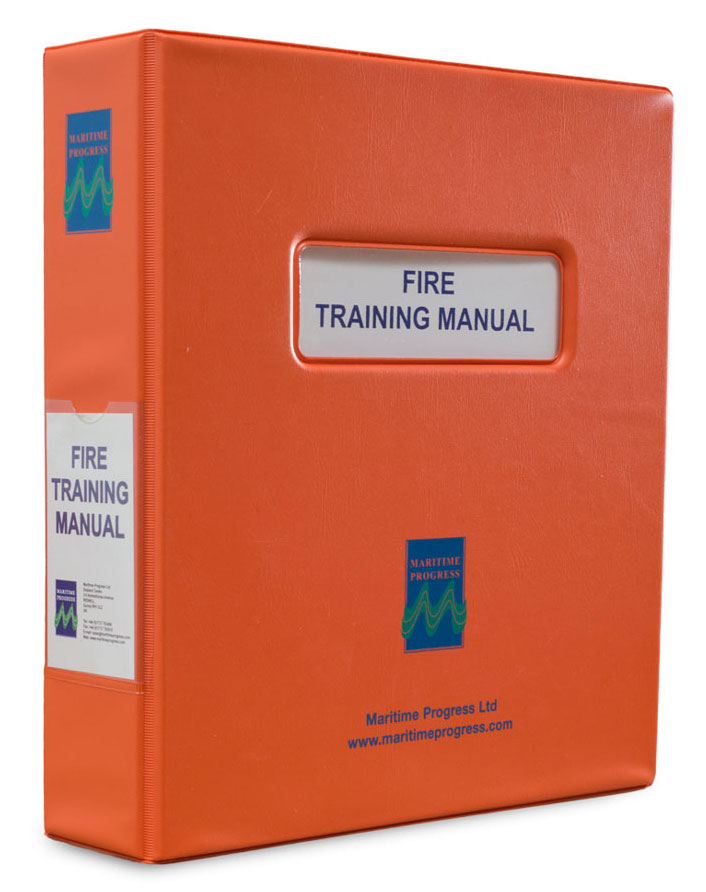
The Fire Fighting Training Manual complies with SOLAS, Chapter II-2, Regulations 15.2.3.1/4 . Covering the basic training requirements of SOLAS and has sections arranged for inclusion of ship specific information allowing the manual to be tailored to specific vessels.
CHS Chart 4507 – Northeast Coast of Newfoundland
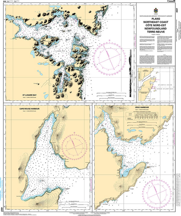
The official Canadian charts provide an excellent range of scales for the whole length of Canada`s coastline as well as the Grat Lakes and comply with Safety of Life at Sea (SOLAS) regulations.PLEASE NOTE: Canadian Hydrographic Service charts are ordered on demand, please allow 1-2 weeks for the order to arrive at Stanfords.