Category Archives: Travel Guides
Cleveland Way A-Z Adventure Atlas
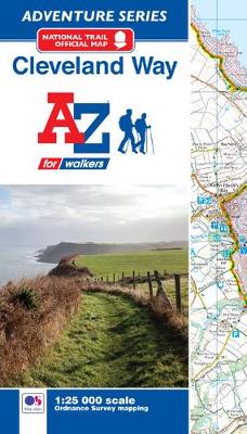
The A-Z Adventure Series of maps combines the best of OS and A-Z, creating the perfect companion for walkers, off-road cyclists, horse riders and anyone wishing to explore the great outdoors. The Cleveland Way is a 109 mile (175 km) National Trail from Helmsley in the North York Moors National Park, to Saltburn-by-the-Sea, where it
Glyndwr`s Way Adventure Atlas
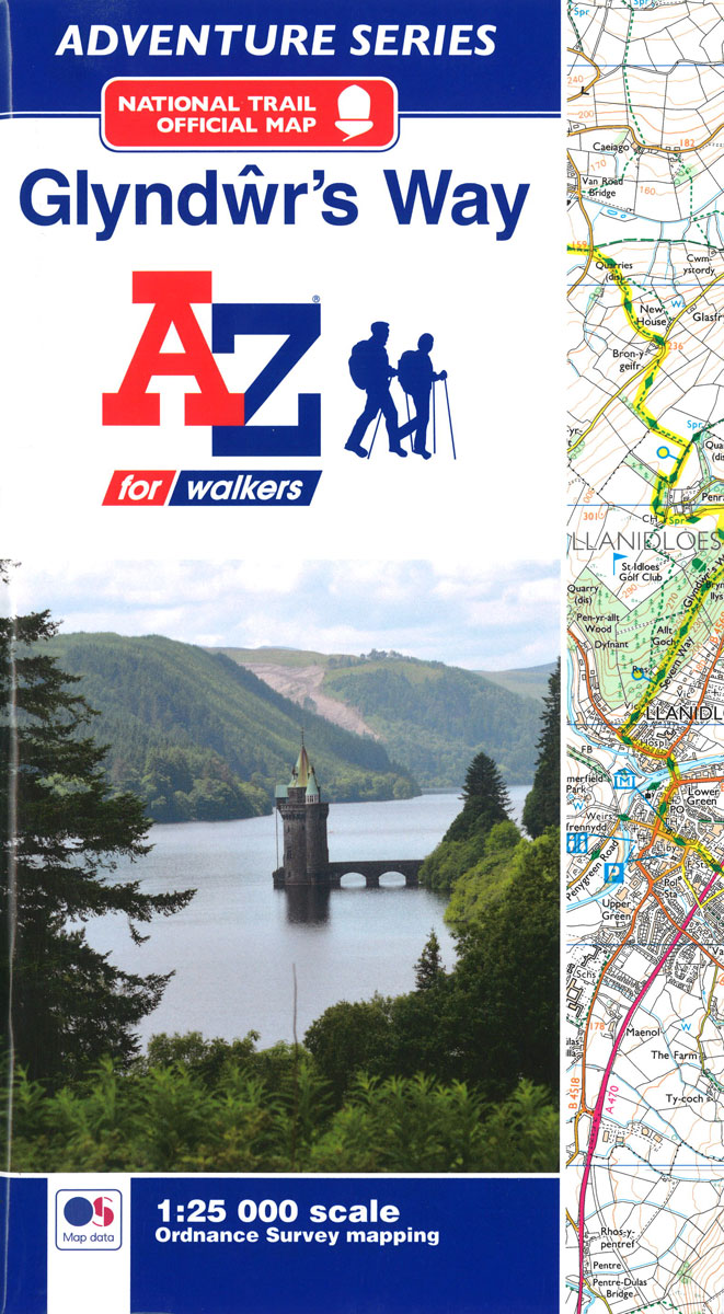
The A-Z Adventure Series of maps combines the best of OS and A-Z, creating the perfect companion for walkers, off-road cyclists, horse riders and anyone wishing to explore the great outdoors. Glyndwr`s Way is a 135 mile (217 km) National Trail in mid-Wales from Knighton to Welshpool via Machynlleth. Linking locations connected with Owain Glynd
Portsmouth A-Z Street Plan Wall Map
This Street Map of Portsmouth is extracted from A-Z digital data to ensure that the latest A-Z revision is available as a printed sheet map.The map area covers:FarehamWymeringWaterloovilleHorndeanRowland`s CastleHavantHayling IslandPortsmouthGosportLee-on-the-SolentStubbingtonCatisfieldA-Z Street Mapping includes:Distinctive road classification coloursUnder construction and proposed roadsOne-way streetsRailway and other transport networksCategorised buildingsPlaces of Interest
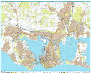
Southampton A-Z Street Plan Wall Map
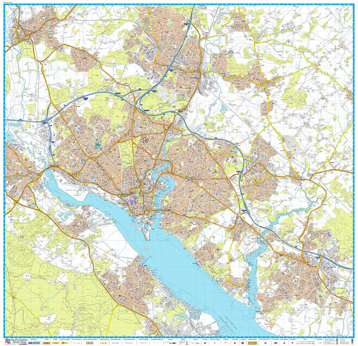
This Street Map of Southampton is extracted from A-Z digital data to ensure that the latest A-Z revision is available as a printed sheet map.The map area covers:BotleyChandlers FordColden CommonEastleigh (part)Hamble-Le-RiceHytheNetley AbbeyPark GateRomseyRownhamsSouthamptonTitchfieldTottonWarsashWhiteleyWoolstonA-Z Street Mapping includes:Distinctive road classification coloursUnder construction and proposed roadsOne-way streetsRailway and other transport networksCategorised buildingsPlaces of Interest
Manchester A-Z Street Atlas
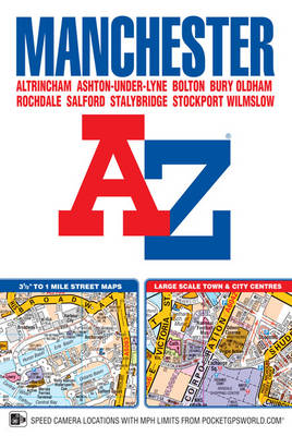
This A-Z map of Manchester includes coverage of:Manchester, Altrincham, Ashton-under-Lyne, Bolton, Bury, Oldham, Rochdale, Salford, StockportThe paperback book includes 162 pages of continuous street mapping extending to include coverage of:Cheadle, Heywood, Hyde, Irlam, Manchester Airport, Poynton, Prestwich, Radcliffe, Ramsbottom, Stalybridge, Swinton, Urmston, WilmslowThere are also large scale city and town centre maps of Manchester, Altrincham,
Birmingham A-Z Street Plan Wall Map
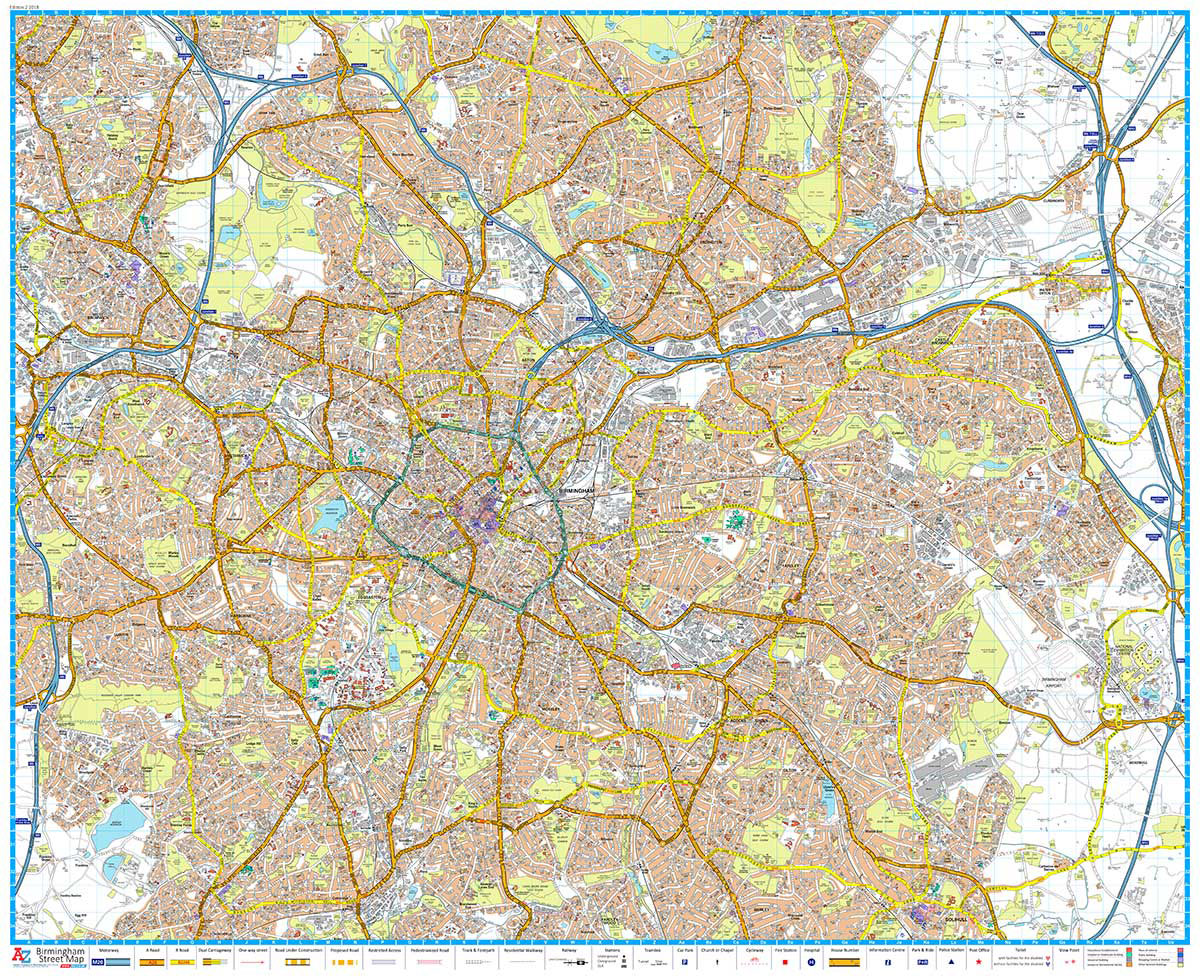
This Street Map of Birmingham is extracted from A-Z digital data to ensure that the latest A-Z revision is available as a printed sheet map.The map area covers:The National Exhibition CentreBirmingham International AirportSolihull (part)Yardley Wood (part)BirminghamSmethwickWest BromwichWednesbury (part)Castle BromwichQuintonA-Z Street Mapping includes:Distinctive road classification coloursUnder construction and proposed roadsOne-way streetsRailway and other transport networksCategorised buildingsPlaces
London West End A-Z Mini Map
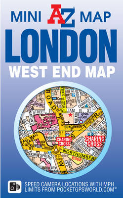
The A-Z Mini Map series is the perfect combination of large scale city or town centre mapping folded into a compact pocket sized cover. This A-Z map of the West End of London is a full colour, double-sided, fold-out sheet map. Side one features a large scale coloured street map of London`s West End, shown
Snowdonia A-Z Adventure Atlas
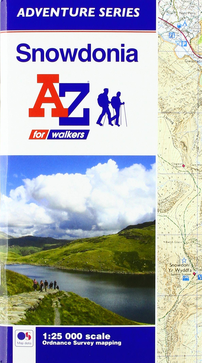
The A-Z Adventure Series of maps combines the best of OS and A-Z, creating the perfect companion for walkers, off-road cyclists, horse riders and anyone wishing to explore the great outdoors. Snowdonia is a region and a National Park in the north-west of Wales; a popular hiking destination famous for its mountains with many places
Coventry – Rugby A-Z Street Atlas
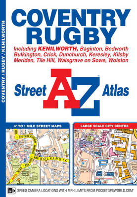
This A-Z map of Coventry and Rugby features 45 pages of continuous street mapping extending to:Bedworth, Bulkington, Keresley, Allesley, Baginton, Coventry Airport, Kenilworth, Wolston, Long Lawford, Clifton upon Dunsmore, Kilsby, Crick, DunchurchAlso included are inset maps of Meriden, Brownsover and Thurlaston and a large scale city centre map of Coventry.Postcode districts, one-way streets and safety
Surrey, East & West Sussex A-Z Visitor`s Wall Map
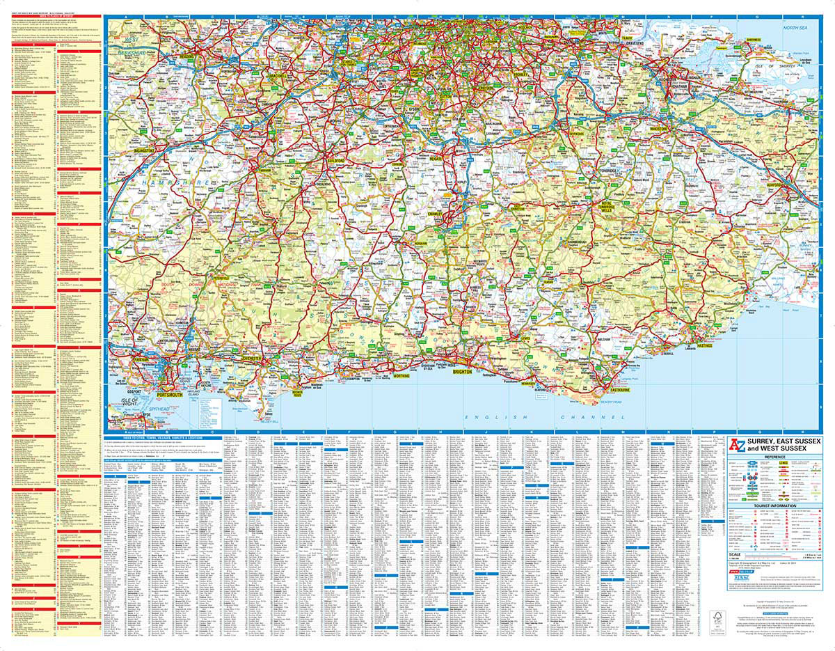
This full colour visitors` map of Surrey, East Sussex & West Sussex features road mapping that covers an area extending to:The south coast from Portsmouth to HastingsAshford (Kent) and Faversham to the eastReading, central London, Gravesend and Sheerness to the northFareham and Basingstoke to the west.Map detail is shown at a clear 2.5 miles to
Newcastle upon Tyne A-Z Street Atlas
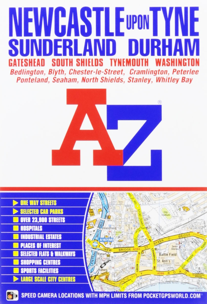
This A-Z map of Newcastle upon Tyne is a full colour, paperback street atlas featuring 154 pages of continuous street mapping that covers: Bedlington, Blyth, Darras Hall, Whitley Bay, Tynemouth, South Shields, Ryton, Gateshead, Washington, Sunderland, Stanley, Chester-le-Street (part), Seaham and Durham. In addition, there is separate coverage of Peterlee, Easington and Horden and large
Scotland A-Z Regional Road Atlas

This A-Z map of Scotland is a full colour atlas featuring 92 pages of road mapping covering the whole of the country.Instantly recognizable and easy to use, A-Z road mapping includes the following features:Motorways with full junction detail, primary routes and destinations, A & B roads, under construction and proposed roads, service areas, tolls, mileages,
Birmingham A-Z Street Atlas
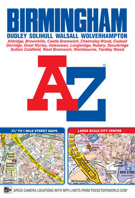
This paperback road atlas of Birmingham includes coverage of:BirminghamBloxwichDudleySedgleySolihullStourbridgeWalsallWest BromwichWolverhamptonAlso included are large scale city centre maps of Birmingham and Wolverhampton and a West Midlands rail and Midland Metro transport connections map on the back cover.Postcode districts, one-way streets and safety camera locations with maximum speeds are featured on the mapping.The index section lists streets;
Ipswich – Felixstowe A-Z Street Atlas
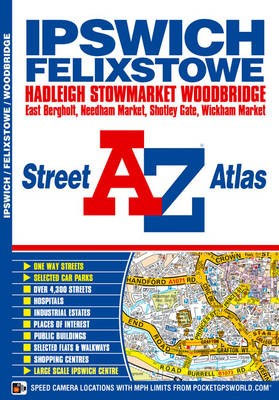
This A-Z map of Ipswich and Felixstowe includes 62 pages of street mapping covering:- Belstead- Bentley- Bramford- Bramtham- Capel St. Mary- Chelmondiston- Claydon- East Bergholt- Great Blakenham- Grundisburgh- Hadleigh- Holbrook- Martlesham- Needham Market- Port of Felixstowe- Rushmere St. Andrew- Shotley Gate- Sproughton- Stowmarket- Stratford St. Mary- Stutton- Trimley St. Mary- Trimley St. Martin- Wickham Market-
England Coast Path Adventure Map – Minehead to Brean Down
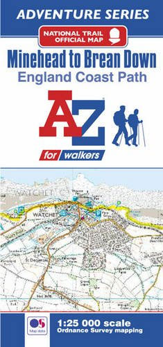
The A-Z Adventure Series of maps combines the best of OS and A-Z, creating the perfect companion for walkers, off-road cyclists, horse riders and anyone wishing to explore the great outdoors.This official Minehead to Brean Down Adventure Map covers a 58 mile (93km) section of the England Coast Path, a new National Trail around England`s
Cardiff A-Z Street Plan Wall Map
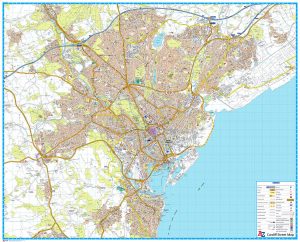
This Street Map of Cardiff is extracted from A-Z digital data to ensure that the latest A-Z revision is available as a printed sheet map.The map area covers:CardiffCardiff Bay & DocksDinas PowysEly (Trelรกi)LLandaffLlanishen (Llanisien)Marshfield (Maerun)Michaelston-super-ElyMorganstown (Treforgan)PenarthPentyrchRadyr (Radur)Rumney (Rhymni)St Fagans (Sain Ffagan)St MellonsThornhillWenvoe (Gwenfรด)Whitchurch (Yr Eglwys Newydd)A-Z Street Mapping includes:Distinctive road classification coloursUnder construction and proposed
South West Coast Path 2 – North Cornwall A-Z Adventure Atlas
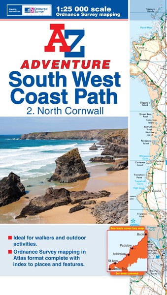
This A-Z Adventure Atlas of the SW Coast Path North Cornwall features 41 pages of continuous OS mapping covering the route from the Devon/Cornwall border to Land`s End. The trail is easy to follow, highlighted in yellow to stand out from other footpaths, with mileage markers to gauge distances when planning your own sections of
The Magical Unicorn Society: Official Handbook

After centuries of mystery, the mythical Magical Unicorn Society has published its official handbook. These learned lovers of unicorns have created a treasure chest of unicorn lore – the facts, the fiction, the where, why and what of these elusive beasts. This is the ultimate gift for anyone who truly believes. Discover the myth of
101 Fun Outdoor Activities for Children

A practical, dip-in guide, packed with over 100 outdoor activities for children. In an era when the iPad is often more appealing than the park, it can be difficult to encourage kids to get off the couch and spend time outside. In this inspirational book, with ideas for children of all ages, there are over
Glamorous Cocktails: Fashionable Mixes from Iconic London Bars

“Yeoward`s passion… is infectious and a cocktail party with the proper stuff should be on everyone`s agenda… A deliciously glamorous book.” The Field MagazineJoin William Yeoward on his journey through London`s most stunning bars as he shares his passion for exquisite drinks and glamorous living in this, his compendium of iconic and signature recipes by