Category Archives: Travel Guides
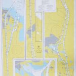
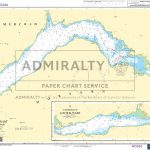
CHS Chart 3623 – Kyuquot Sound to Cape Cook
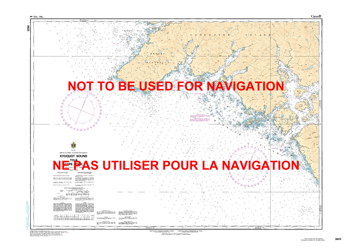
The official Canadian charts provide an excellent range of scales for the whole length of Canada`s coastline as well as the Grat Lakes and comply with Safety of Life at Sea (SOLAS) regulations. PLEASE NOTE: Canadian Hydrographic Service charts are ordered on demand, please allow 1-2 weeks for the order to arrive at Stanfords.
CHS Chart 3494 – Vancouver Harbour, Central Portion
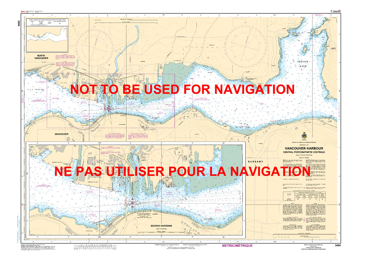
The official Canadian charts provide an excellent range of scales for the whole length of Canada`s coastline as well as the Grat Lakes and comply with Safety of Life at Sea (SOLAS) regulations. PLEASE NOTE: Canadian Hydrographic Service charts are ordered on demand, please allow 1-2 weeks for the order to arrive at Stanfords.
CHS Chart 3624 – Cape Cook to Cape Scott
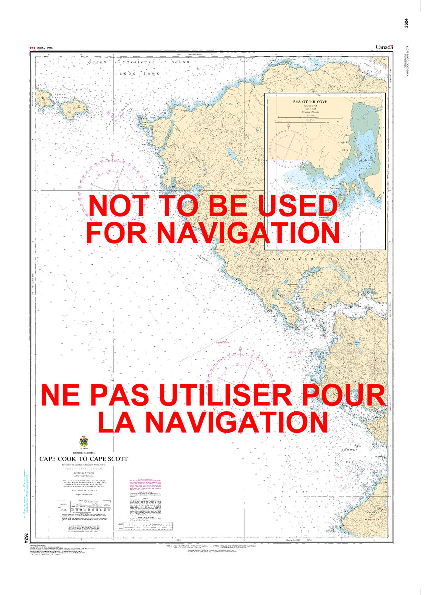
The official Canadian charts provide an excellent range of scales for the whole length of Canada`s coastline as well as the Grat Lakes and comply with Safety of Life at Sea (SOLAS) regulations. PLEASE NOTE: Canadian Hydrographic Service charts are ordered on demand, please allow 1-2 weeks for the order to arrive at Stanfords.
CHS Chart 3495 – Vancouver Harbour, Eastern Portion
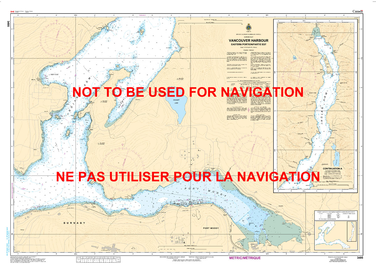
The official Canadian charts provide an excellent range of scales for the whole length of Canada`s coastline as well as the Grat Lakes and comply with Safety of Life at Sea (SOLAS) regulations. PLEASE NOTE: Canadian Hydrographic Service charts are ordered on demand, please allow 1-2 weeks for the order to arrive at Stanfords.
CHS Chart 3625 – Scott Islands
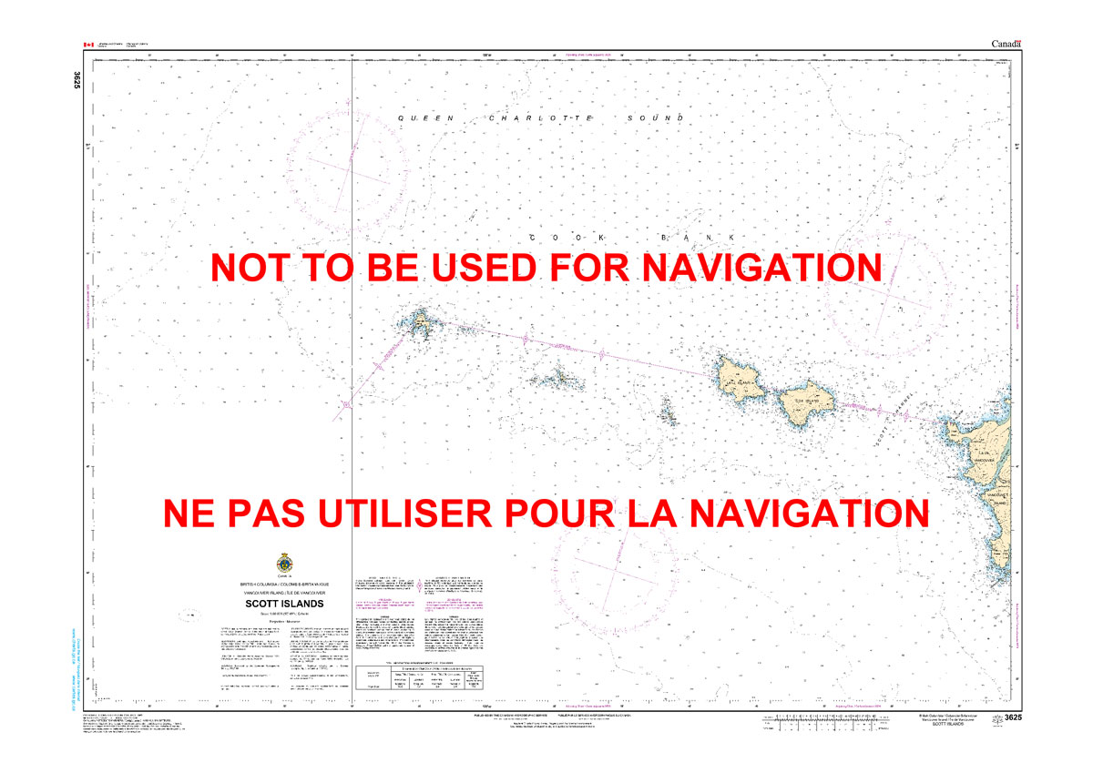
The official Canadian charts provide an excellent range of scales for the whole length of Canada`s coastline as well as the Grat Lakes and comply with Safety of Life at Sea (SOLAS) regulations. PLEASE NOTE: Canadian Hydrographic Service charts are ordered on demand, please allow 1-2 weeks for the order to arrive at Stanfords.
CHS Chart 3526 – Howe Sound
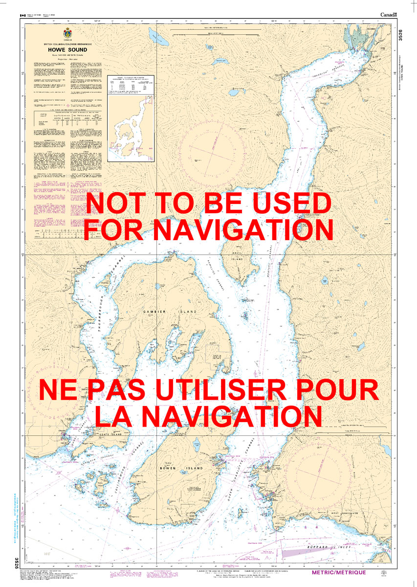
The official Canadian charts provide an excellent range of scales for the whole length of Canada`s coastline as well as the Grat Lakes and comply with Safety of Life at Sea (SOLAS) regulations. PLEASE NOTE: Canadian Hydrographic Service charts are ordered on demand, please allow 1-2 weeks for the order to arrive at Stanfords.
CHS Chart 3646 – Plans in the Barkley Sound
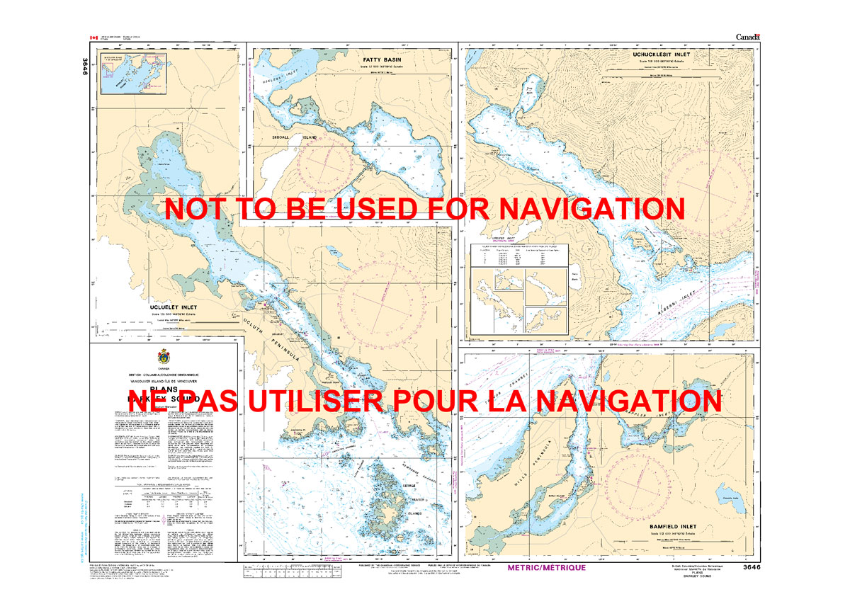
The official Canadian charts provide an excellent range of scales for the whole length of Canada`s coastline as well as the Grat Lakes and comply with Safety of Life at Sea (SOLAS) regulations. PLEASE NOTE: Canadian Hydrographic Service charts are ordered on demand, please allow 1-2 weeks for the order to arrive at Stanfords.
CHS Chart 3442 – North Pender Island to Thetis Island
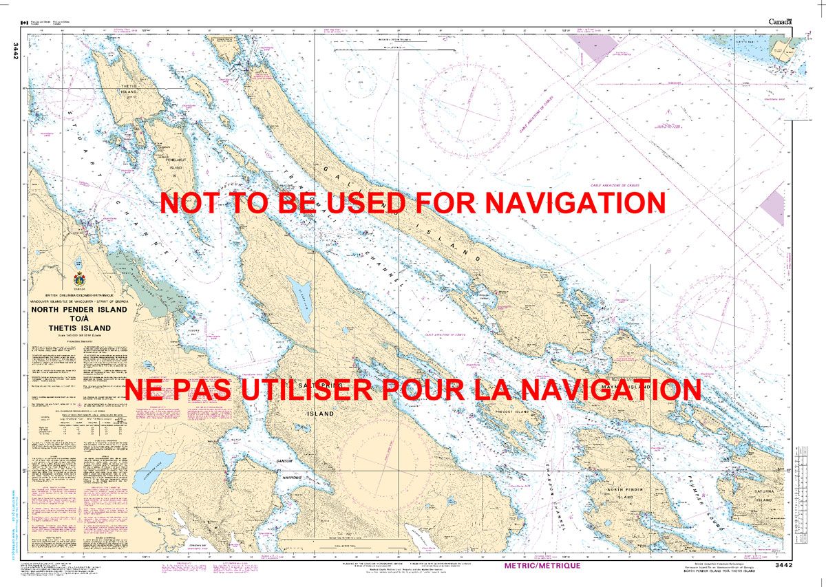
The official Canadian charts provide an excellent range of scales for the whole length of Canada`s coastline as well as the Grat Lakes and comply with Safety of Life at Sea (SOLAS) regulations. PLEASE NOTE: Canadian Hydrographic Service charts are ordered on demand, please allow 1-2 weeks for the order to arrive at Stanfords.
CHS Chart 3456 – Halibut Bank to Ballenas Channel
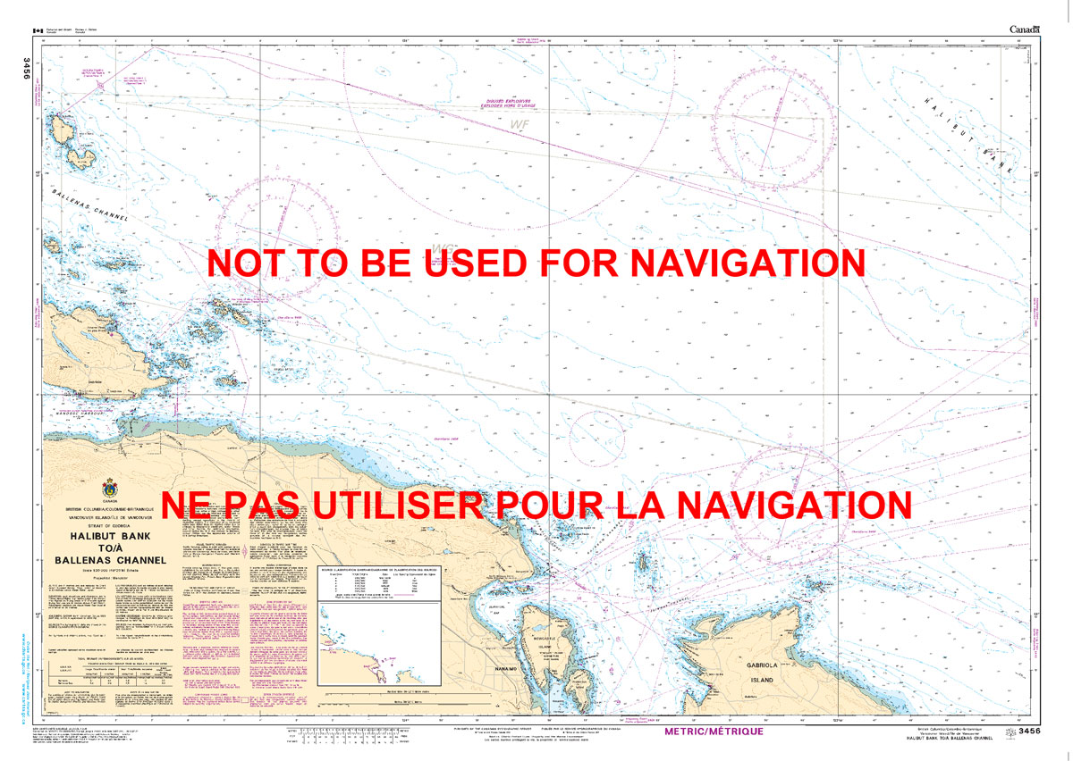
The official Canadian charts provide an excellent range of scales for the whole length of Canada`s coastline as well as the Grat Lakes and comply with Safety of Life at Sea (SOLAS) regulations. PLEASE NOTE: Canadian Hydrographic Service charts are ordered on demand, please allow 1-2 weeks for the order to arrive at Stanfords.
CHS Chart 3459 – Approaches to Nanoose Harbour
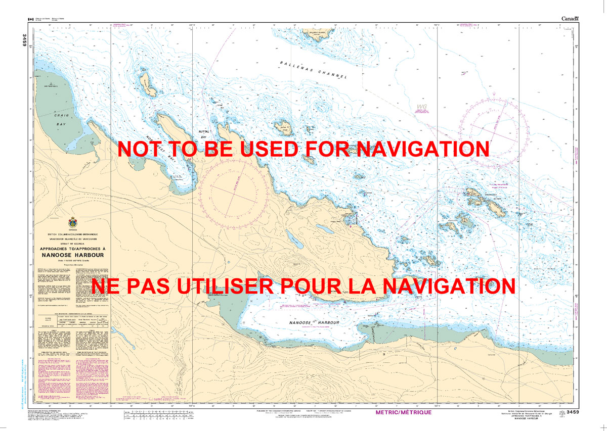
The official Canadian charts provide an excellent range of scales for the whole length of Canada`s coastline as well as the Grat Lakes and comply with Safety of Life at Sea (SOLAS) regulations. PLEASE NOTE: Canadian Hydrographic Service charts are ordered on demand, please allow 1-2 weeks for the order to arrive at Stanfords.
CHS Chart 3473 – Active Pass, Porlier Pass and Montague Harbour
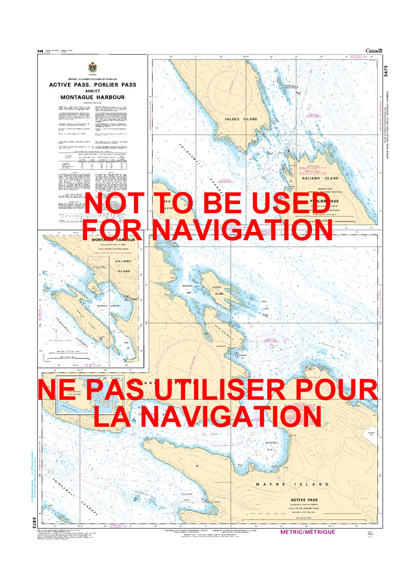
The official Canadian charts provide an excellent range of scales for the whole length of Canada`s coastline as well as the Grat Lakes and comply with Safety of Life at Sea (SOLAS) regulations. PLEASE NOTE: Canadian Hydrographic Service charts are ordered on demand, please allow 1-2 weeks for the order to arrive at Stanfords.
CHS Chart 3475 – Plans in the Stuart Channel
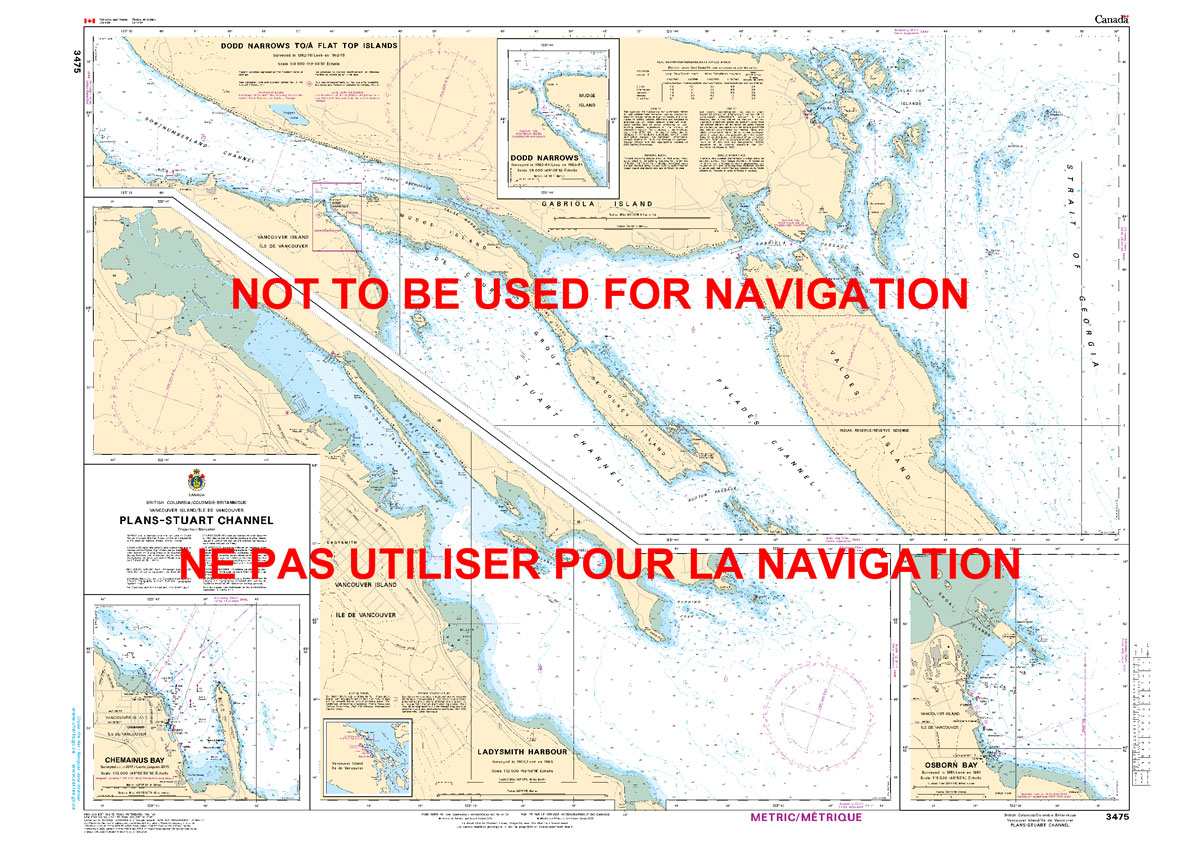
The official Canadian charts provide an excellent range of scales for the whole length of Canada`s coastline as well as the Grat Lakes and comply with Safety of Life at Sea (SOLAS) regulations. PLEASE NOTE: Canadian Hydrographic Service charts are ordered on demand, please allow 1-2 weeks for the order to arrive at Stanfords.
CHS Chart 3477 – Plans in the Gulf Islands
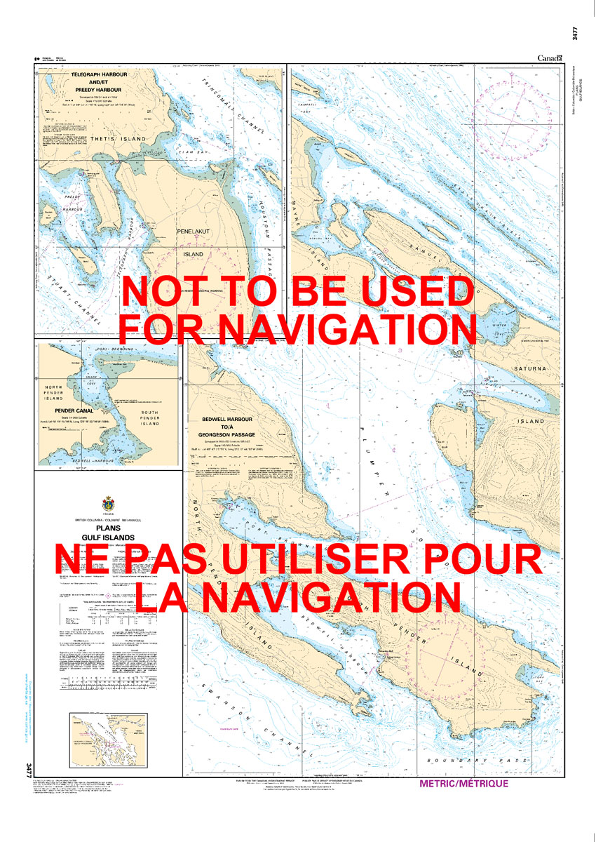
The official Canadian charts provide an excellent range of scales for the whole length of Canada`s coastline as well as the Grat Lakes and comply with Safety of Life at Sea (SOLAS) regulations. PLEASE NOTE: Canadian Hydrographic Service charts are ordered on demand, please allow 1-2 weeks for the order to arrive at Stanfords.
CHS Chart 3478 – Plans in the Saltspring Island
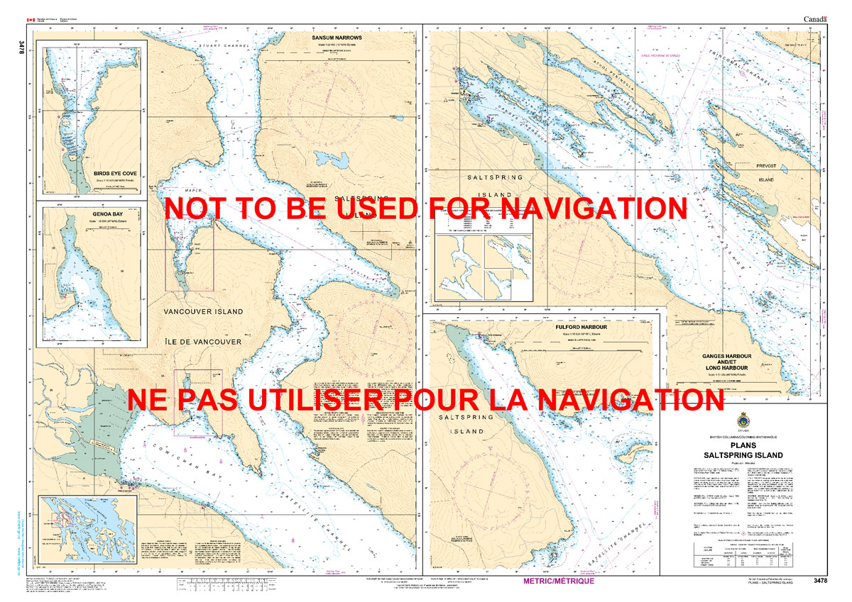
The official Canadian charts provide an excellent range of scales for the whole length of Canada`s coastline as well as the Grat Lakes and comply with Safety of Life at Sea (SOLAS) regulations. PLEASE NOTE: Canadian Hydrographic Service charts are ordered on demand, please allow 1-2 weeks for the order to arrive at Stanfords.
CHS Chart 3479 – Approaches to Sidney, British Columbia
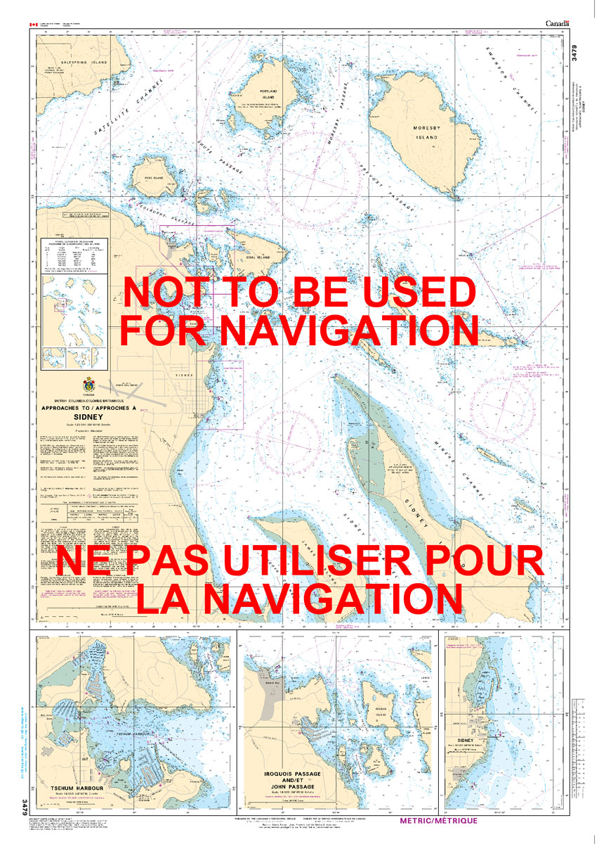
The official Canadian charts provide an excellent range of scales for the whole length of Canada`s coastline as well as the Grat Lakes and comply with Safety of Life at Sea (SOLAS) regulations. PLEASE NOTE: Canadian Hydrographic Service charts are ordered on demand, please allow 1-2 weeks for the order to arrive at Stanfords.
CHS Chart 3564 – Plans in the Johnstone Strait
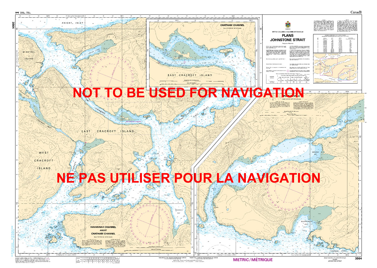
The official Canadian charts provide an excellent range of scales for the whole length of Canada`s coastline as well as the Grat Lakes and comply with Safety of Life at Sea (SOLAS) regulations. PLEASE NOTE: Canadian Hydrographic Service charts are ordered on demand, please allow 1-2 weeks for the order to arrive at Stanfords.
CHS Chart 3496 – Approaches to Vancouver Harbour
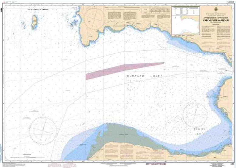
The official Canadian charts provide an excellent range of scales for the whole length of Canada`s coastline as well as the Grat Lakes and comply with Safety of Life at Sea (SOLAS) regulations. PLEASE NOTE: Canadian Hydrographic Service charts are ordered on demand, please allow 1-2 weeks for the order to arrive at Stanfords.
CHS Chart 3410 – Sooke Inlet to Parry Bay
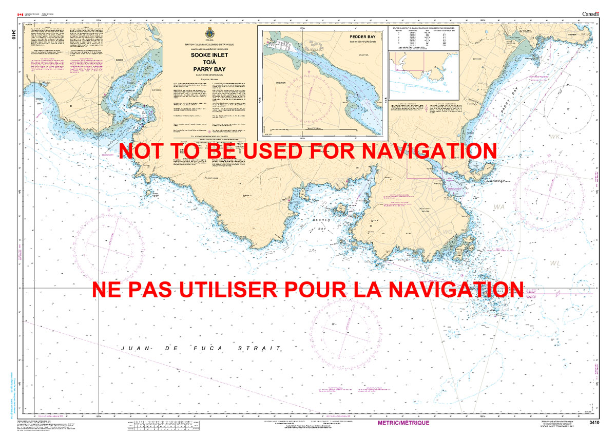
The official Canadian charts provide an excellent range of scales for the whole length of Canada`s coastline as well as the Grat Lakes and comply with Safety of Life at Sea (SOLAS) regulations. PLEASE NOTE: Canadian Hydrographic Service charts are ordered on demand, please allow 1-2 weeks for the order to arrive at Stanfords.
CHS Chart 3490 – Fraser River, Sand Heads to Douglas Island
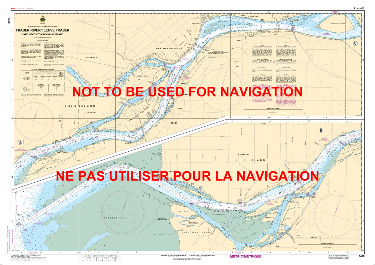
The official Canadian charts provide an excellent range of scales for the whole length of Canada`s coastline as well as the Grat Lakes and comply with Safety of Life at Sea (SOLAS) regulations. PLEASE NOTE: Canadian Hydrographic Service charts are ordered on demand, please allow 1-2 weeks for the order to arrive at Stanfords.
CHS Chart 3411 – Sooke
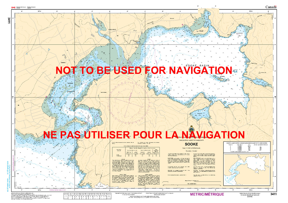
The official Canadian charts provide an excellent range of scales for the whole length of Canada`s coastline as well as the Grat Lakes and comply with Safety of Life at Sea (SOLAS) regulations. PLEASE NOTE: Canadian Hydrographic Service charts are ordered on demand, please allow 1-2 weeks for the order to arrive at Stanfords.