Category Archives: Travel Guides
Stanfords Luxury Tote Bag – London 1862

The Stanfords luxury tote bag – London 1862, is constructed by bonding two pieces of premium weight cotton to deliver a rigid structure. It is then embellished by printing the Stanfords London Map design before being sewn. The bag is finished with leather handles and an internal zip pocket.
Safe Packing of Cargo Transport Units (CTUs), 2001 Edition – IMO Model Course – E-Book
There are two sections in the revised IMO model course on Maritime English:- Core section 1: General Maritime English (GME), and- Core section 2: Specialized Maritime English (SME), both of which contain a number of detailed teaching syllabi.GME means that the first stage of Maritime English instruction could be general. SME means that the second
Stanfords Travel Bag – London 1862
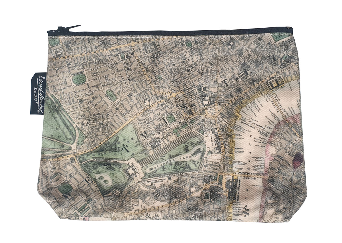
The Stanfords Cosmetic Purse – London 1862, is made of 100% Heavy weight Premium Cotton and measures 22 x 14cm with a 5cm gusset.
Stanfords Premium Tea-towel – London 1862
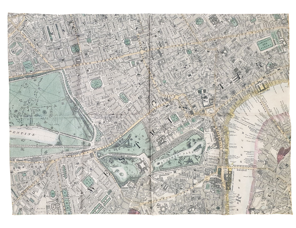
The Stanfords Premium tea towel – London 1862, is made of 100% cotton to 50 x 70cm and is hemmed all four sides as standard. British Made and Printed Tea Towels.
Stanfords Cushion Cover – London 1862
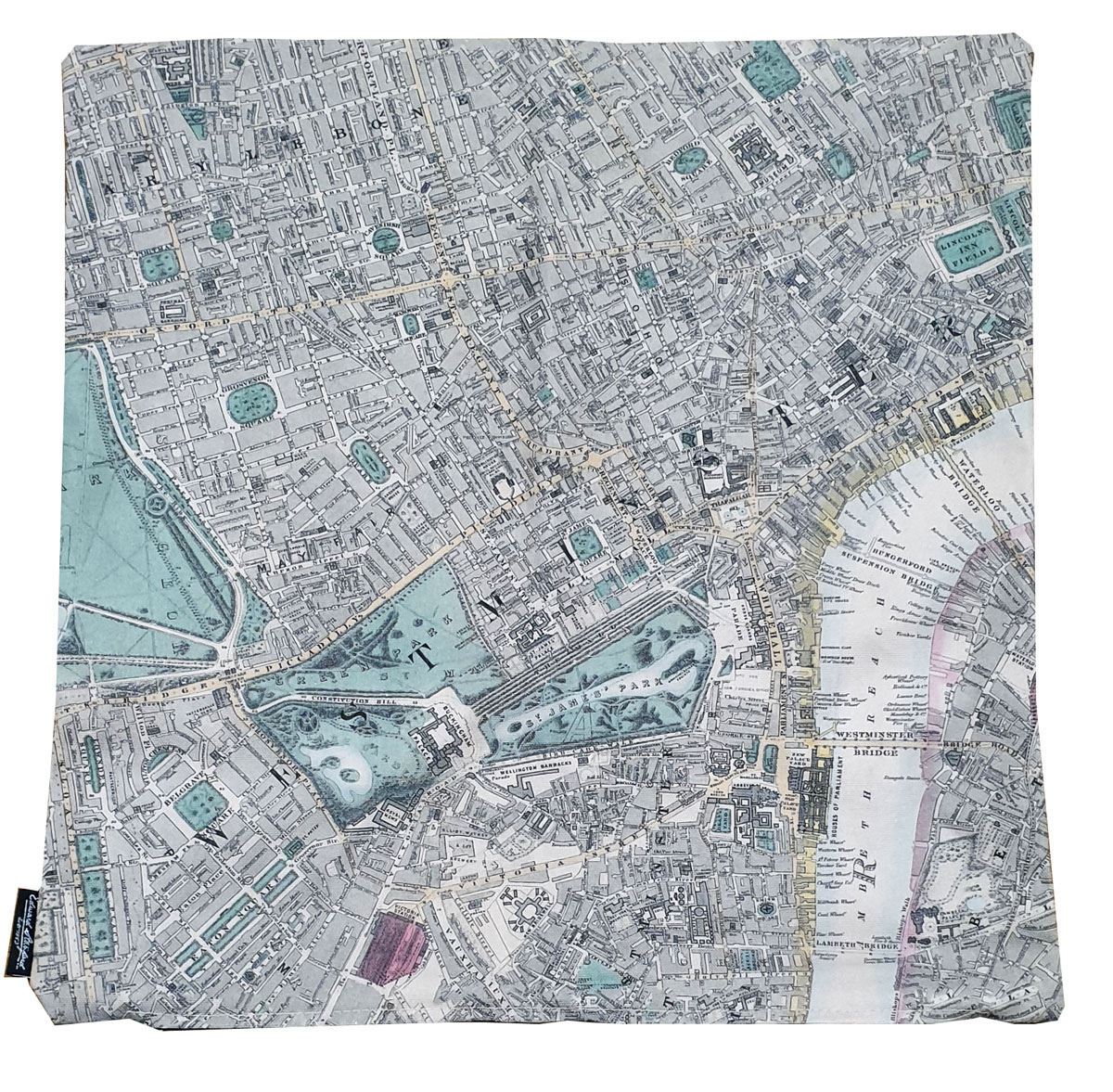
Stanfords London Map 1862 Cushion Cover printed on Heavy weight Premium Cotton, measures 45 x 45 cm and opens with a zip. Cover only, comes without the cushion.
Electro-Technical Rating, 2019 Edition – IMO Model Course – E-Reader

The aim of this model course is to meet the mandatory minimum standards of competence for seafarers as electro-technical ratings, in the following functions: electrical, electronic and control engineering; maintenance and repair; and controlling the operation of the ship and care for persons on board, at the support level specified in table A-III/7 of the
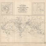
The Ships Atlas 18th Edition: 2020

The Ships Atlas builds upon over 30 years of port information research to provide its readers with location information and essential data on global ports and terminals. This publication has three distinct sections starting with themed global maps on topical maritime subjects, such as MARPOL regulations, followed by over 60 pages of detailed map content
CHS Chart 3868 – Port Louis to Langara Island
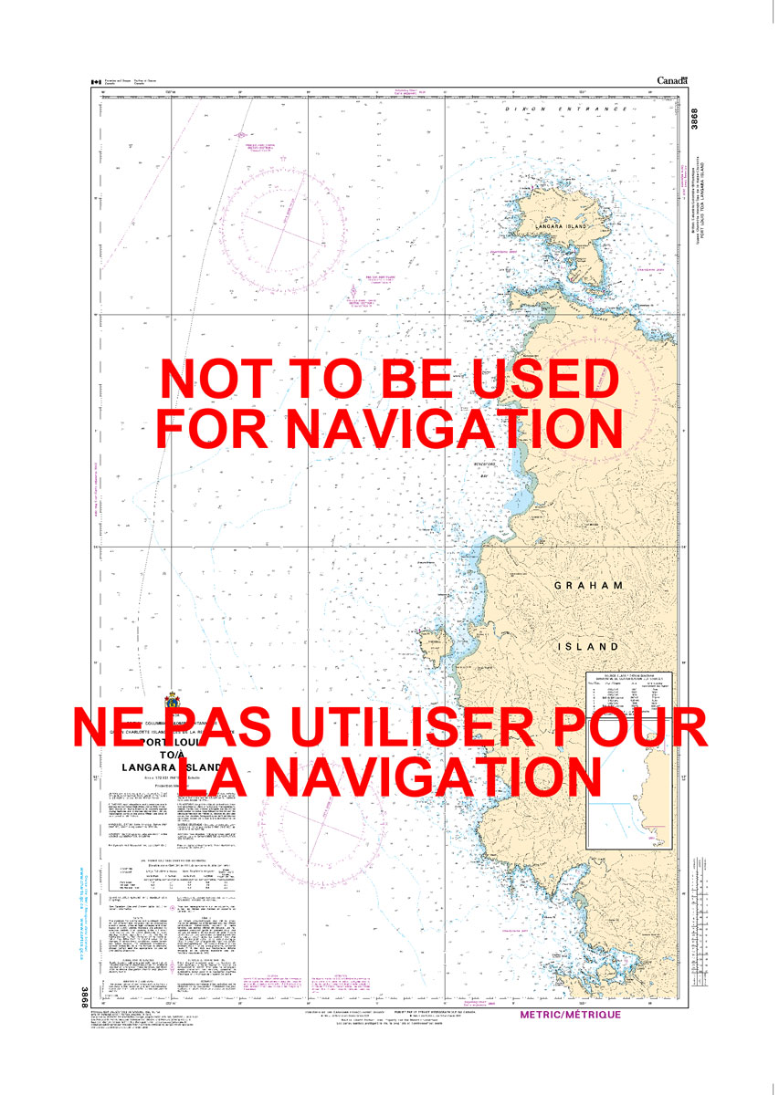
The official Canadian charts provide an excellent range of scales for the whole length of Canada`s coastline as well as the Grat Lakes and comply with Safety of Life at Sea (SOLAS) regulations. PLEASE NOTE: Canadian Hydrographic Service charts are ordered on demand, please allow 1-2 weeks for the order to arrive at Stanfords.
CHS Chart 3869 – Skidegate Channel to Tian Rock
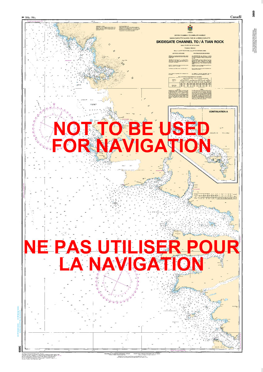
The official Canadian charts provide an excellent range of scales for the whole length of Canada`s coastline as well as the Grat Lakes and comply with Safety of Life at Sea (SOLAS) regulations. PLEASE NOTE: Canadian Hydrographic Service charts are ordered on demand, please allow 1-2 weeks for the order to arrive at Stanfords.
CHS Chart 3890 – Approaches to Skidegate Inlet
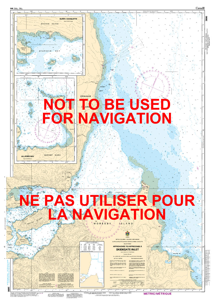
The official Canadian charts provide an excellent range of scales for the whole length of Canada`s coastline as well as the Grat Lakes and comply with Safety of Life at Sea (SOLAS) regulations. PLEASE NOTE: Canadian Hydrographic Service charts are ordered on demand, please allow 1-2 weeks for the order to arrive at Stanfords.
CHS Chart 3891 – Skidegate Channel

The official Canadian charts provide an excellent range of scales for the whole length of Canada`s coastline as well as the Grat Lakes and comply with Safety of Life at Sea (SOLAS) regulations. PLEASE NOTE: Canadian Hydrographic Service charts are ordered on demand, please allow 1-2 weeks for the order to arrive at Stanfords.
CHS Chart 3935 – Hakai Passage and Vicinity
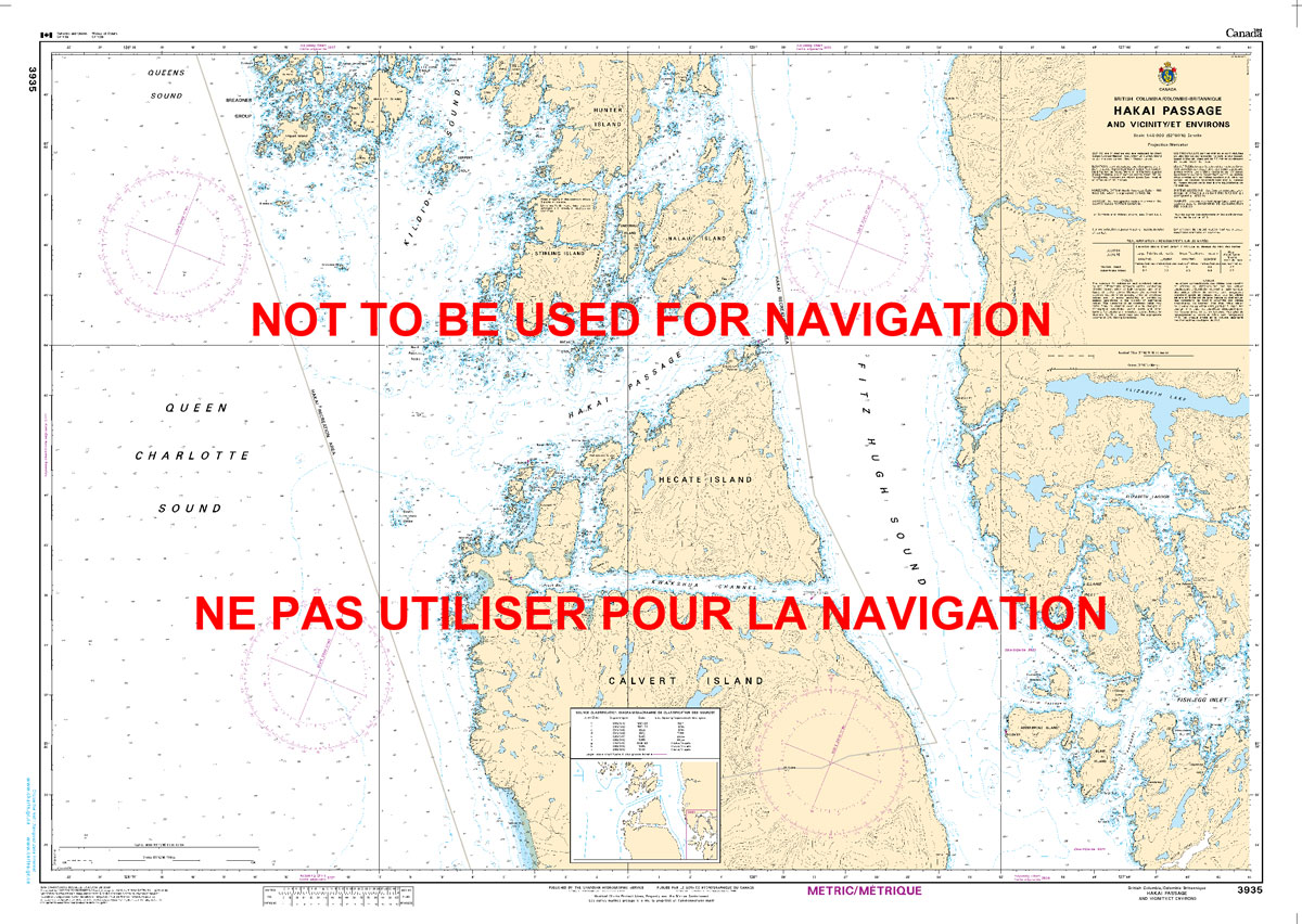
The official Canadian charts provide an excellent range of scales for the whole length of Canada`s coastline as well as the Grat Lakes and comply with Safety of Life at Sea (SOLAS) regulations. PLEASE NOTE: Canadian Hydrographic Service charts are ordered on demand, please allow 1-2 weeks for the order to arrive at Stanfords.
CHS Chart 3892 – Masset Harbour and Naden Harbour
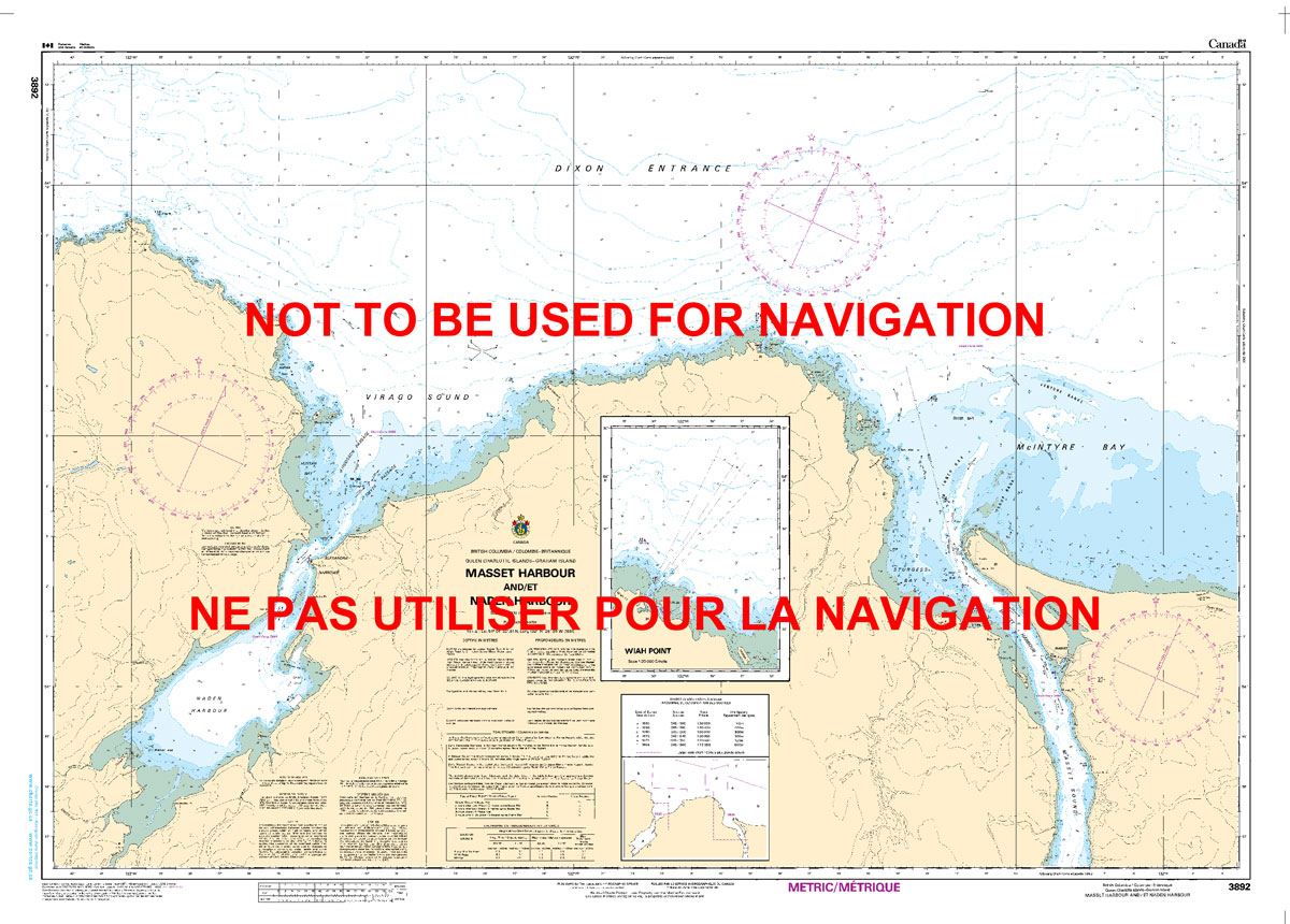
The official Canadian charts provide an excellent range of scales for the whole length of Canada`s coastline as well as the Grat Lakes and comply with Safety of Life at Sea (SOLAS) regulations. PLEASE NOTE: Canadian Hydrographic Service charts are ordered on demand, please allow 1-2 weeks for the order to arrive at Stanfords.
CHS Chart 3807 – Atli Inlet to Selwyn Inlet
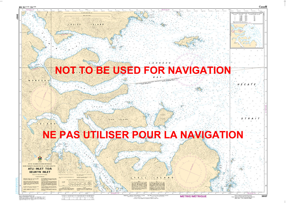
The official Canadian charts provide an excellent range of scales for the whole length of Canada`s coastline as well as the Grat Lakes and comply with Safety of Life at Sea (SOLAS) regulations. PLEASE NOTE: Canadian Hydrographic Service charts are ordered on demand, please allow 1-2 weeks for the order to arrive at Stanfords.
CHS Chart 3893 – Masset Inlet

The official Canadian charts provide an excellent range of scales for the whole length of Canada`s coastline as well as the Grat Lakes and comply with Safety of Life at Sea (SOLAS) regulations. PLEASE NOTE: Canadian Hydrographic Service charts are ordered on demand, please allow 1-2 weeks for the order to arrive at Stanfords.
CHS Chart 3808 – Juan Perez Sound
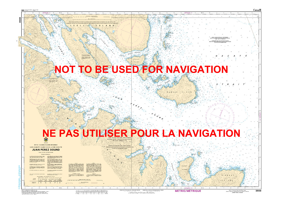
The official Canadian charts provide an excellent range of scales for the whole length of Canada`s coastline as well as the Grat Lakes and comply with Safety of Life at Sea (SOLAS) regulations. PLEASE NOTE: Canadian Hydrographic Service charts are ordered on demand, please allow 1-2 weeks for the order to arrive at Stanfords.
CHS Chart 3894 – Selwyn Inlet to Lawn Point
The official Canadian charts provide an excellent range of scales for the whole length of Canada`s coastline as well as the Grat Lakes and comply with Safety of Life at Sea (SOLAS) regulations. PLEASE NOTE: Canadian Hydrographic Service charts are ordered on demand, please allow 1-2 weeks for the order to arrive at Stanfords.
CHS Chart 3809 – Carpenter Bay to Burnaby Island
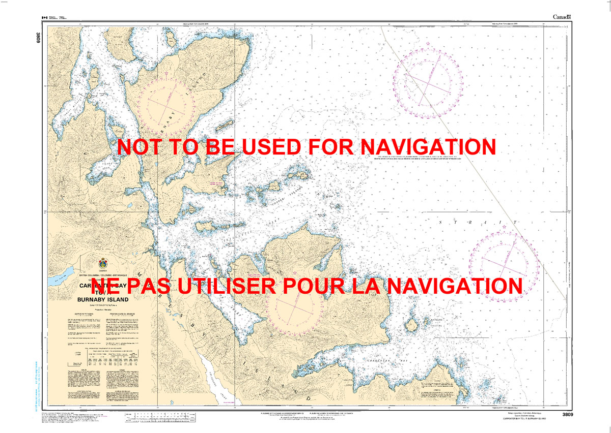
The official Canadian charts provide an excellent range of scales for the whole length of Canada`s coastline as well as the Grat Lakes and comply with Safety of Life at Sea (SOLAS) regulations. PLEASE NOTE: Canadian Hydrographic Service charts are ordered on demand, please allow 1-2 weeks for the order to arrive at Stanfords.
CHS Chart 3895 – Plans in the Dixon Entrance
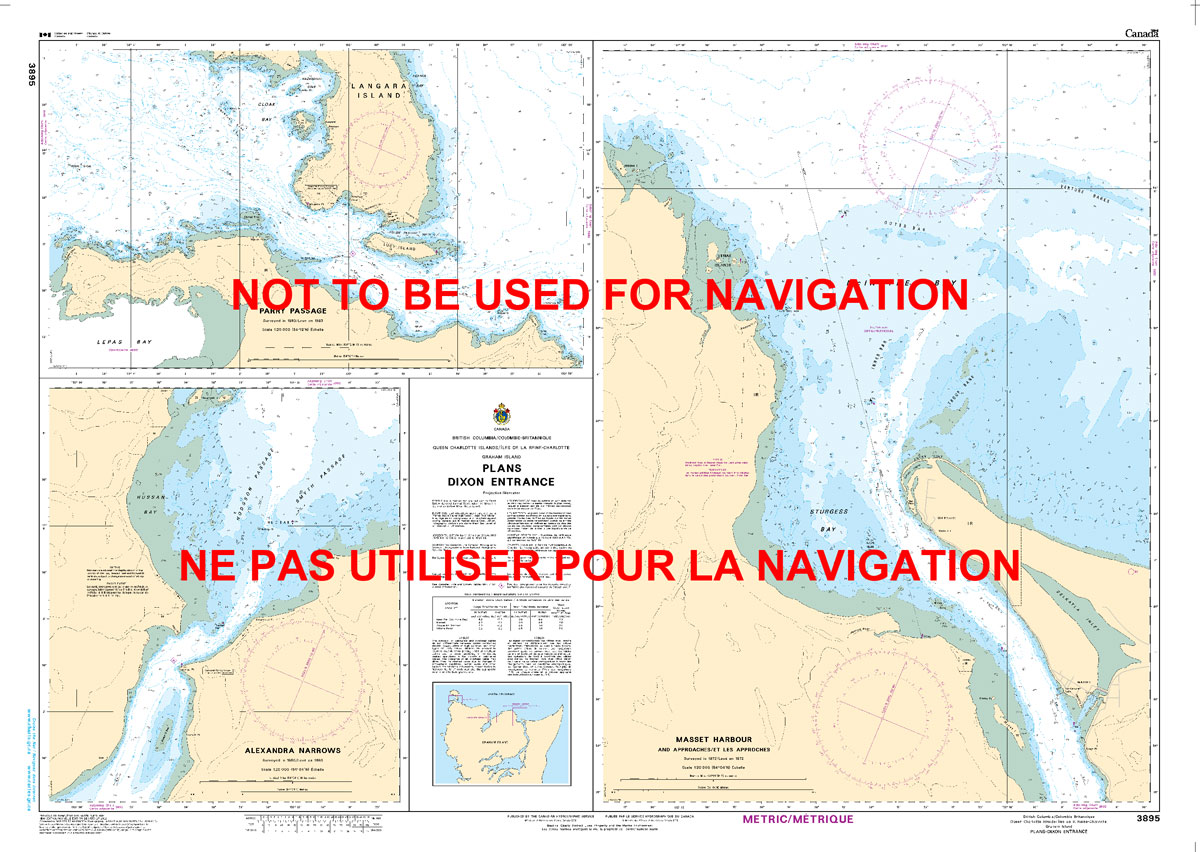
The official Canadian charts provide an excellent range of scales for the whole length of Canada`s coastline as well as the Grat Lakes and comply with Safety of Life at Sea (SOLAS) regulations. PLEASE NOTE: Canadian Hydrographic Service charts are ordered on demand, please allow 1-2 weeks for the order to arrive at Stanfords.
CHS Chart 3811 – Harbours in Queen Charlotte Islands
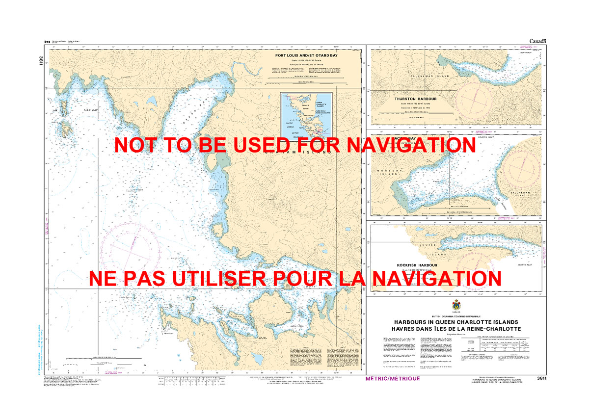
The official Canadian charts provide an excellent range of scales for the whole length of Canada`s coastline as well as the Grat Lakes and comply with Safety of Life at Sea (SOLAS) regulations. PLEASE NOTE: Canadian Hydrographic Service charts are ordered on demand, please allow 1-2 weeks for the order to arrive at Stanfords.