Category Archives: Travel Guides
2200 Solent Chart Pack: Selsey Bill to Poole, Including the Isle of Wight – 2021 edition
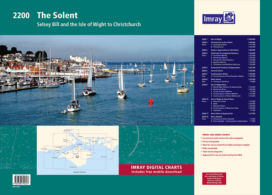
This 2021 edition includes the latest official UKHO data at time of publication, combined with additional information sourced from Imray`s network to make it ideal for small craft. The chart pack includes all the navigational charts and tidal data for passage, approach and mooring.Includes plans:2200.1 Isle of Wight1: 100 000 WGS 842200.2 Christchurch to the
2100 Kent and Sussex Coasts Chart Atlas – 2021 edition
For this February 2018 edition the latest depth surveys have been applied. The latest wind farm information is included where relevant. There has been general updating throughout.The 2018 edition is now wirobound and tidal stream information is included. Individual sheets of this atlas will no longer be sold separately. However, 1st edition charts Y7 and
C9 Beachy Head to the Isle of Wight
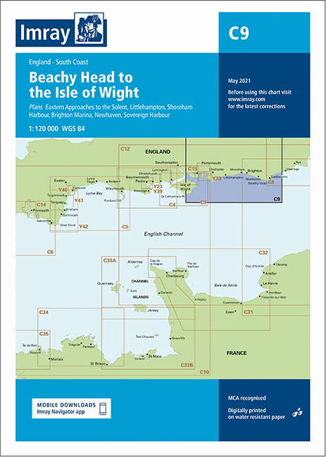
Plans included: Portsmouth, Langstone & Chichester Harbours (1:55,000) Littlehampton (1:13,500) Shoreham Harbour (1:20,000) Brighton Marina (1:8,500) Newhaven (1:16,500) Sovereign Harbour (1:15,000) On this 2013 edition, the latest known depths have been applied throughout the chart, particularly at Shoreham Harbour, Newhaven and Sovereign Harbour.
Y18 The River Medway and Approaches
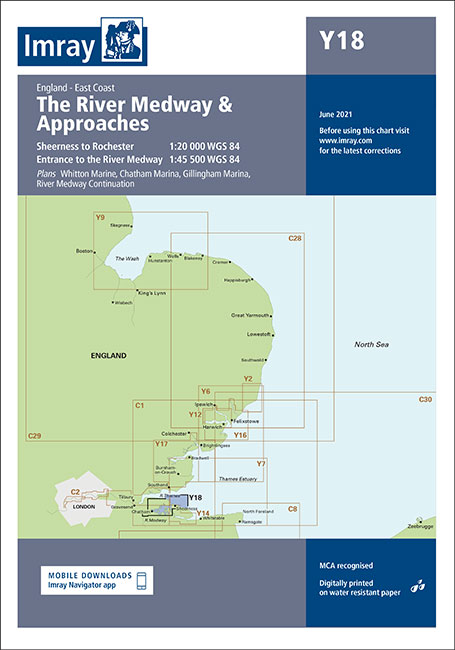
Includes inset of River Thames Sea Reach (1:55 000) Plans included: Whitton Marine (1:6000) Port Werburgh (1:6000) Gillingham Marina (1:10 000) River Medway Continuation (1:25 000) On this 2016 edition the latest depth surveys have been applied along with general updating throughout. The secondary Yantlet Channel is shown.
Y7 Thames Estuary South
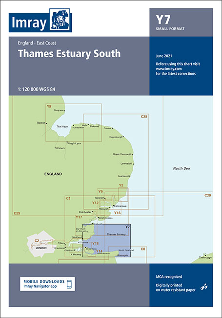
A brand new chart for 2018 covering the Thames Estuary South. This chart is a replica of Imray chart 2100.1. It is printed on water resistant paper.
Shell Channel Pilot – Revised 8th Edition
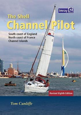
8th Edition, 2021When all the websites and the almanacs have come and gone, The Shell Channel Pilot remains the ultimate authority on cruising both sides of the English Channel. Ever since the 1930s, when Adlard Coles published the original version, this seminal work has been steadily upgraded and updated. The three compilers who have looked
RCC Mediterranean Spain
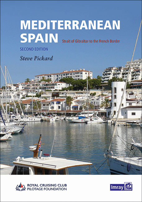
This new volume replaces the current two part coverage of the Mediterranean mainland coast of Spain from Gibraltar to the French border. The entire coverage has been revised with the text updated, new plans added and others updated from the latest information. There are numerous new photos to support the sailing directions. This is the
C15 The Solent
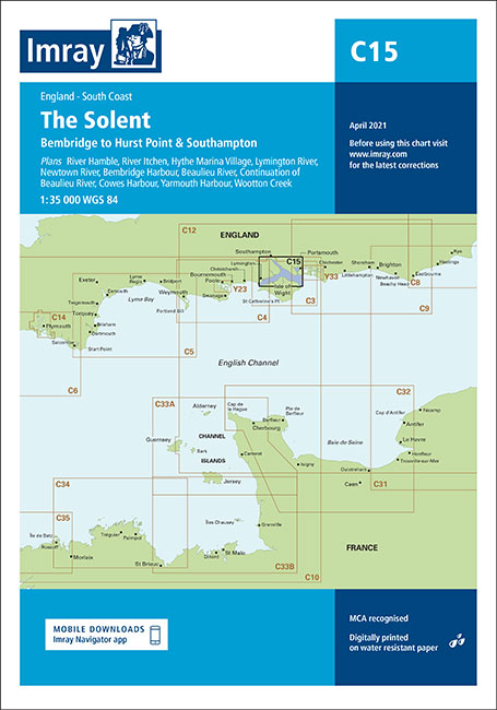
Plans River Hamble (1:12,500) River Itchen (1:12,500) Hythe Marina Village (1:10,000) Lymington River (1:14,000) Newtown River (1:20,000) Bembridge Harbour (1:10,000) Beaulieu River (1:20,000) Cowes Harbour (1:20,000) Yarmouth Harbour (1:4500) Wootton Creek (1:20,000) Includes the latest known depth surveys and racing buoy information.
C62 Irish Sea
Plans included:Carrickfergus (1:15 000)Bangor Bay (1:17 500)Entrance to Strangford Lough (1:37 500)Portaferry Marina (1:7500)Strangford (1:5000)Ardglass (1:15 000)Entrance to Carlingford Lough (1:26 000)Malahide Inlet (1:35 000)Howth (1:12 500)Dun Laoghaire Harbour (1:15 000)Ribble Estuary (1:125 000)Approaches to Fleetwood (1:50 000)River Lune (1:100 000)Continuation to Carlingford Marina (1:40 000)Continuation to Preston (1:125 000)??
Y30 Isle of Wight
A brand new chart for 2018 covering the Isle of Wight. This chart is a replica of Imray chart 2200.1. It is printed on water resistant paper.
Imray Chart C2: The River Thames
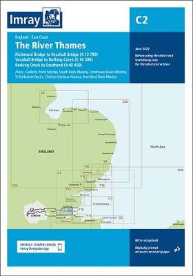
Teddington to Southend in three panelsRichmond Bridge to Vauxhall Bridge (1:13 700)Vauxhall Bridge to Barking Creek (1:16 500)Barking Creek to Southend (1:40 400)Plans included:Gallions Point Marina (1:9000)South Dock Marina (1:5000)Limehouse Basin Marina (1:5500)St Katherine Haven (1:5250)Chelsea Harbour Marina (1:2750)Brentford Dock Marina (1:3000)On this edition the chart specification has been improved to show coloured light flashes.
Y35 Portsmouth Harbour and Approaches
A brand new chart for 2018 covering Portsmouth Harbour & Approaches. This chart is a replica of Imray chart 2200.5. It is printed on water resistant paper.
C40 Le Croisic to Les Sables-d`Olonne
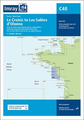
Plans included: Le Croisic (1:15 000) Saint-Nazaire (1:25 000) Pornic (1:12 500) L`Herbaudiere (1:12 500) Goulet de Fromentine (1:30 000) Port-Joinville (Ile d`Yeu) (1:10 500) Port de Saint-Gilles-Croix-de-Vie (1:15 000) Les Sables d`Olonne (1:20 000) For this 2014 edition, the chart has been completely revised and updated throughout.
Y37 Southampton Water
For this 2018 edition the latest depth surveys have been applied. The 2018 Solent racing buoy names and positions are shown.
Mediterranean Almanac 2021/22
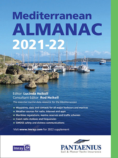
The essential companion and general handbook for the Mediterranean, the Imray Mediterranean Almanac is published in full colour. All the harbour plans appear in the familiar Imray livery which adds clarity to their use. There are the usual detailed revisions throughout this edition, plus many new harbour plans.The Imray Mediterranean Almanac is the ideal compendium
France – Inland Waterways 2021
The standard guide to the French canals and navigable rivers includes maps and distance tables for each waterway, giving the user a general view of the geography of each waterway as well as a detailed cockpit reference. The introduction forms a comprehensive general guide to the French waterways, including distances and overall dimensions, formalities, navigation
Y46 River Fowey
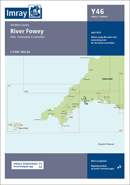
Plans included:Continuation to Lostwithiel (1:20 000)Part of the small format Y series (A2 size), this replicates sheet 2400.7 (no longer available) from the 2400 West Country Chart Pack.
Y47 Falmouth Harbour

Plans included:Mylor Yacht Harbour (1:10 000)Falmouth Marina (1:5000)Falmouth Inner Harbour (1:10 000)First edition. Part of the small format Y series (A2 size), this replicates sheet 2400.12 from the 2400 West Country Chart Pack
Y48 Helford River
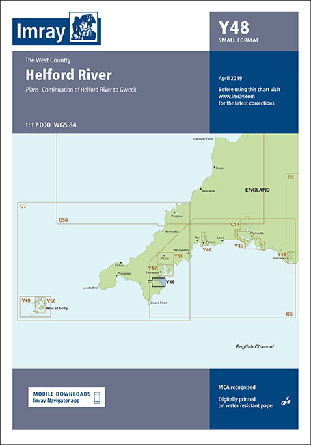
Plans included:Continuation of Helford River to Gweek (1:17 000)First edition. Part of the small format Y series (A2 size), this replicates sheet 2400.11 from the 2400 West Country Chart Pack
Y49 Isles of Scilly

Plans included:St Mary’s Road (1:25 000)First edition. Part of the small format Y series (A2 size), this replicates sheet 2400.3 from the 2400 West Country Chart Pack