Category Archives: Travel Guides
Germany – Inland Waterways
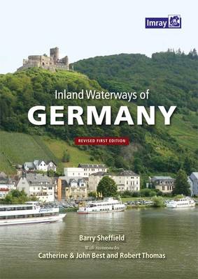
Barry Sheffield`s “Inland Waterways of Germany” is a comprehensive guide to the German waterways network, from the Danube, Rhine & Ruhr to the smaller, lesser-known rivers and canals. The guide is an invaluable aid for boating in Germany, containing photographs, diagrams and extensive route descriptions covering every aspect of the waterways network; lock systems, harbours,
Navigating The Thames Through Central London
A new updated edition of this long running publication written, known as the `waterways bible`. Details every navigable waterway in Britain, each entry includes a brief description, a simple maps, distance tables and information on the maximum vessel dimensions. Includes a separate fold-out map of showing the whole network.
Inland Waterways of Scotland
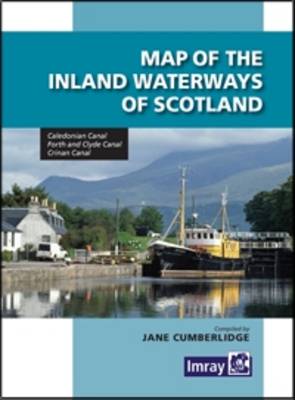
The second edition of Imray`s Map of the Inland Waterways of Scotland has been updated. Contact details for the new Scottish Waterways body that replaces British Waterways have been added. The descriptive text has been improved with the addition of more photos. `Imray are synonymous with nautical maps…and Jane Cumberlidge is a much respected writer
Irish Sea Pilot
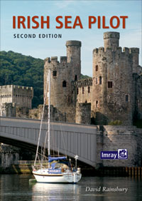
The Irish Sea is a huge, almost landlocked sea. Around its shores and islands there are no fewer than six countries, provinces or protectorates. Several languages are represented; English, Welsh, Irish, Scots Gaelic and Manx, along with countless accents and dialects. Its waters teem with life; dolphins and porpoises are a common sight; leatherback turtles
Crossing the Thames Estuary
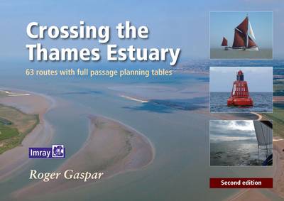
63 routes with full passage tables An indispensable companion for planning Thames estuary passages, this set of tables enables navigators to select the best routes according to tide times. A set of tide tables, IMRAY charts, East Coast Pilot and Crossing the Thames Estuary provide all the information that is needed to fully explore the
2510 North Brittany Chart Pack – 2015 edition
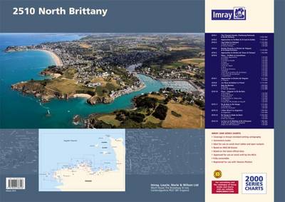
A brand new pack for North Brittanty, consisting of 7 double-sided sheets covering the coast from St-Malo to Rade de Brest. The pack consists of the following: The pack consists of the following:1. The Channel Islands, Cherbourg Peninsula & North Brittany (1:550 000)2. Approaches to St-Malo & St-Cast (1:120 000)3. Cap Frรฉhel to Paimpol (1:110
Where the Wild Cooks Go: Recipes from My Travels in Food and Music

Cook your way around the world and enjoy the good times with BBC broadcaster Cerys MatthewsWherever Cerys Matthews travels she loves to eat where the locals eat, drink the local brew, enjoying great food, songs and company. And she always wants to bring back what she`s learnt when she comes home. Now, out of a
M49 West Sicily and Egadi Islands
Plans: Approaches to Porto Capraia Approaches to Portoferraio Bastia Talamone Approaches to Porto S. Stefano
My Town: An Artist`s Life in London
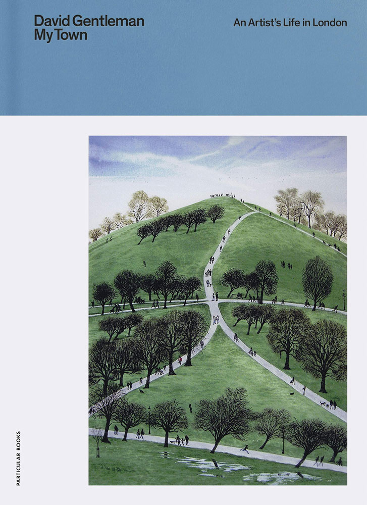
David Gentleman, an iconic British illustrator and designer, has lived a lifetime in London. Drawing from over sixty years of engagement with this most well-known capital city, `My Town` presents London as it was and as it is today. His beautiful and intricate work – of the Thames, Hampstead Heath, Camden Town (where David Gentleman
Practical Navigation
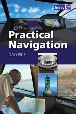
This comprehensive and authoritative guide to practical navigation draws on the author’s extensive experience of leisure cruising and ocean racing. It combines detailed directions on how to navigate along coasts, in harbours, at night and in bad weather with easy-to-understand technical information about the electronic tools involved in safe navigation, including radar, GPS, AIS and
France – Inland Waterways
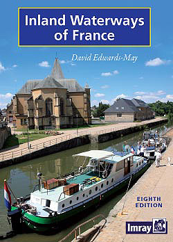
The standard guide to the French canals and navigable rivers includes maps and distance tables for each waterway, giving the user a general view of the geography of each waterway as well as a detailed cockpit reference. The introduction forms a comprehensive general guide to the French waterways, including distances and overall dimensions, formalities, navigation
The Baltic Sea and Approaches
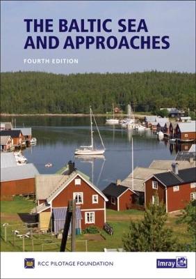
The nine countries bordering the Baltic Sea offer an immense variety of cruising grounds, people and cultures. There are thousands of harbours and innumerable anchorages, and it would take an entire bookshelf, to cover them all in detail.The information contained in this book is therefore selective. It has been chosen for its value both at
Mediterranean Cruising Handbook
This fully updated 6th edition has had a complete facelift and is now published in full colour in a new format. Throughout, the work has been updated, and in places expanded. It now includes a list of useful waypoints and routes ofr the entire Mediterranean which are shown on overprinted charts folded into the back
Cruising Scotland: The Clyde to Cape Wrath
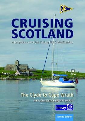
This lavishly illustrated book has been designed as a companion to the Clyde Cruising Club`s Sailing Directions and covers the Scottish west coast from the Clyde to Cape Wrath and all the outlying islands. It was first written by the late Journal Editor, Mike Balmforth, in conjunction with the Editor of the Sailing Directions, Edward
The Yachtsman`s Pilot to Skye and Northwest Scotland
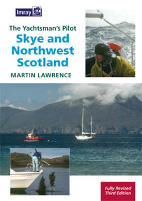
This pilot covers the most remote areas of the west coast of Scotland between Ardnamurchan Point and Cape Wrath and the Island of Skye. Martin Lawrence has completely revised the text and for this edition has added new photographs taken from both the air and sea. The use of full colour throughout the work brings
King of the World: The Life of Louis XIV

Louis XIV, King of France and Navarre, dominated his age. In the second half of the seventeenth century, he extended France`s frontiers into the Netherlands and Germany, and established colonies in America, Africa and India. Louisiana, which once occupied a third of the territory of the present-day United States, is named after him. Louis was
London Underground by Design
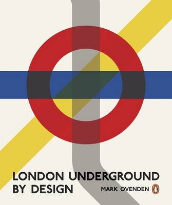
London Underground By Design is the beautifully illustrated new book from Mark Ovenden, the acclaimed author of Great Railway Maps of the World, published to coincide with the 150th anniversary of the Tube in 2013. Since its establishment 150 years ago as the world`s first urban subway, the London Underground has continuously set a benchmark
The Atlas of Beauty: Women of the World in 500 Portraits
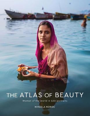
Photographs and stories of 500 women from around the world, based on the author`s hugely popular website.Since 2013, Mihaela Noroc has travelled the world with her backpack and camera taking photos of everyday women to showcase the diversity and beauty all around us. The Atlas of Beauty is a collection of her photographs that celebrates
Wine Grapes: A Complete Guide to 1,368 Vine Varieties, Including Their Origins and Flavours
This is an indispensable book for every wine lover, from some of the world`s greatest experts. Where do wine grapes come from and how are they related to each other? What is the historical background of each grape variety? Where are they grown? What sort of wines do they make and, most importantly, what do
Mess: The Manual of Accidents and Mistakes
In “Mess: The Manual of Accidents and Mistakes”, Keri Smith, creator of “Wreck This Journal”, asks readers to explore what it feels like to throw themselves off balance – on purpose. Your whole life you`ve been taught to avoid making a mess: try to keep everything under control, colour inside the lines, make it perfect,