Category Archives: Travel Guides
G11 North Ionian Islands
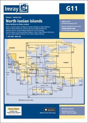
Imray’s series of charts of Greece and Turkey are comprehensive and easy-to-use sailing charts published on rip-proof, waterproof paper- ideal for use on small tables or in cockpits. They show detailed coastline and depth information, and are constantly corrected to reflect latest information. Designed primarily for yachtsmen, they are comprehensive without being unnecessarily cluttered.Each chart
Norway – Oslo to North Cape & Svalbard

This pilot from the RCC covers the long and complex coast of Norway, from the Swedish border in the Skagerrak to the Russian border, including the Lofoten and Vesteralen islands, the Arctic archipelago of Svalbard and the remote volcanic island of Jan Mayen. Fully illustrated, mainly with the author`s photographs, the work is divided into
G1 Mainland Greece and the Peloponnisos

Imray’s series of charts of Greece and Turkey are comprehensive and easy-to-use sailing charts published on rip-proof, waterproof paper- ideal for use on small tables or in cockpits. They show detailed coastline and depth information, and are constantly corrected to reflect latest information. Designed primarily for yachtsmen, they are comprehensive without being unnecessarily cluttered.Each chart
Hidden Harbours of Southwest Scotland
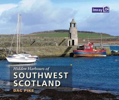
Hidden Harbours of Southwest Scotland is a lively tour of small and infrequently visited harbours on the stunning Scottish coast and its nearby islands, starting from Port Logan in the south and meandering northwards to Lerags on Loch Feochan in the Firth of Lorn. The southwest coast of Scotland is one of the most beautiful
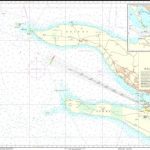
C7 Falmouth to Isles of Scilly & Trevose Head
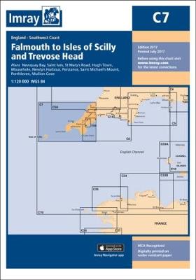
Plans included: Newquay Bay (1:10 000) Saint Ives (1:15 000) St Mary`s Road (1:25 000) Hugh Town (1:10 000) Mousehole (1:5000) Newlyn Harbour (1:12 000) Penzance (1:12 000) Saint Michael`s Mount (1:12 500) Porthleven (1:5000) Mullion Cove (1:7500) For this 2014 edition the chart has been fully updated using extensive new depth surveys throughout.
C51 Cardigan Bay
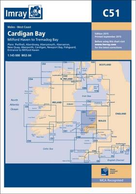
Plans included: Pwllheli (1:12 500) Aberdovey (1:25 000) Aberystwyth (1:15 000) Aberaeron (1:20 000) New Quay (1:20 000) Aberporth (1:30 000) Cardigan (1:40 000) Newport Bay (1:35 000) Fishguard (1:18 000) Entrance to Milford Haven (1:30 000) On this 2015 edition the chart has been fully updated throughout. Revised depths are shown at Aberdovey, Fishguard,
C23 Fife Ness to Moray Firth
Plans included: Wick Bay Helmsdale Inverness Firth Inverness Nairn Burghead Hopeman Lossiemouth Buckie Banff & Macduff Fraserburgh Peterhead Aberdeen Stonehaven Montrose Arbroath This edition has been fully updated with revised depths applied throughout, in particular at Wick Bay, Burghead, Montrose Harbour, Aberdeen and the approaches to Inverness Firth. Harbour developments are shown at Wick Bay,
River Thames Book
Covers not only the Thames but also the River Wey, the Basingstoke Canal and the Kennet & Avon Canal to Great Bedwyn, listing in exhaustive detail the facilities to be found along each section of the navigation.The guide divides the Thames into sections, giving details of distances, licensing and registration, lock-working, tides, fishing and much,
Atlantic France: North Biscay to the Spanish Border

Covering the whole Atlantic coast of France, from Ouessant in the north to Hendaye on the Spanish border, this second edition of the RCC Pilotage Foundation’s guide has been thoroughly revised and updated by Nick Chavasse who has taken his Bowman 40, Wild Bird, into every main port and a multitude of anchorages, including explorations
Cook`s Country: Spurn Head to St Abbs
Cook’s Country is a wholly original guide to the uniquely scenic and historic coasts of North Yorkshire and Northumberland. The author’s fascinating personal insights complement information on all aspects of this stretch of coastline, making this an essential addition to any sailing library.Henry Irving has spent a lifetime sailing on the Humber and the Yorkshire
Secret Anchroages of Brittany
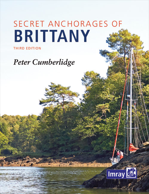
Secret Anchorages of Brittany provides concise pilotage directions for practically all the natural anchorages along the Brittany coast, from the Bay of Mont St Michel round to the great estuary of the Loire.As with the first edition, the anchorages start near Cap de la Hague on the Cotentin Peninsula and include Iles Chausey. The book
Cruising Guide to the Canary Islands

This lively cruising guide to the Canary Islands, compiled by Oliver Solanas Heinrichs and Mike Westin, offers a useful combination of cruising information, sightseeing recommendations and tips from local sailors about the beautiful islands of this Spanish archipelago. Well researched texts give full detail of marinas and anchorages in a friendly and accessible style, with
Mediterranean France and Corsica Pilot
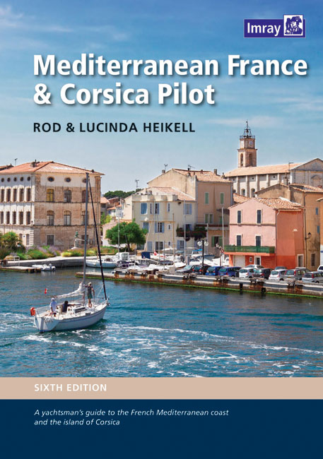
This is a comprehensive companion to the long coastline that ranges from Spain and the edge of the Pyrenees to the Alpes Maritimes and Italy. It covers the flat country of Languedoc-Roussillon, the coast of the Golfe du Lion, the Rhone delta and the Camargue, the industrial Golfe de Fos, the Cote d`Azur and the
2510 North Brittany Chart Pack – 2015 edition
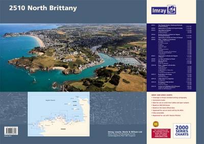
A brand new pack for North Brittanty, consisting of 7 double-sided sheets covering the coast from St-Malo to Rade de Brest. The pack consists of the following: The pack consists of the following:1. The Channel Islands, Cherbourg Peninsula & North Brittany (1:550 000)2. Approaches to St-Malo & St-Cast (1:120 000)3. Cap Frรฉhel to Paimpol (1:110
Where the Wild Cooks Go: Recipes from My Travels in Food and Music

Cook your way around the world and enjoy the good times with BBC broadcaster Cerys MatthewsWherever Cerys Matthews travels she loves to eat where the locals eat, drink the local brew, enjoying great food, songs and company. And she always wants to bring back what she`s learnt when she comes home. Now, out of a
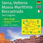
M49 West Sicily and Egadi Islands
Plans: Approaches to Porto Capraia Approaches to Portoferraio Bastia Talamone Approaches to Porto S. Stefano
My Town: An Artist`s Life in London

David Gentleman, an iconic British illustrator and designer, has lived a lifetime in London. Drawing from over sixty years of engagement with this most well-known capital city, `My Town` presents London as it was and as it is today. His beautiful and intricate work – of the Thames, Hampstead Heath, Camden Town (where David Gentleman
Practical Navigation
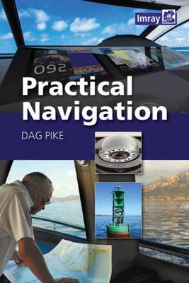
This comprehensive and authoritative guide to practical navigation draws on the author’s extensive experience of leisure cruising and ocean racing. It combines detailed directions on how to navigate along coasts, in harbours, at night and in bad weather with easy-to-understand technical information about the electronic tools involved in safe navigation, including radar, GPS, AIS and