Category Archives: Travel Guides
Ramat del Nord Editorial Alpina
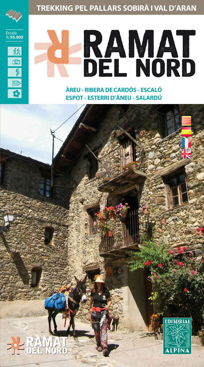
Trekking through the Pallars following in the footsteps of Camilo Jose Cela and Josep M. Espinas. This Editorial Alpina map and guide at 1:50,000 scale is in English, French, Spanish and Catalan.Covers: La Pobla de Segur, Peramea, Gerri de la Sal, Baro, Tornafort, Sort, Llessui, Rialp, Llavorsi, Tirvia, Areu.
La Tablas de Daimiel National Park CNIG Map-Guide SPANISH

La Tablas de Daimiel National Park north of Ciudad Real on a large, double-sided, contoured and GPS compatible map at 1:25,000 on a from IGN/CNIG with cartography from their topographic survey of Spain. The central part of the map, the swamps between the Guadiana and Gigรผela Rivers, is shown enlarged on a satellite image indicating
Valls d’ร€neu – Mont Valier – Mont-roig – Vall de Montgarri Editorial Alpina 2-Map Set
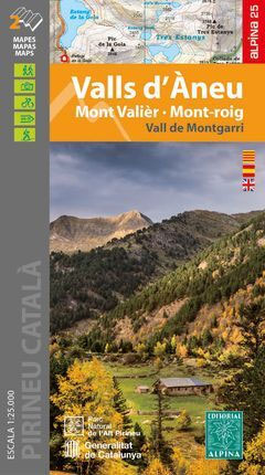
: Hiking map and guidebook’: Scale 1:25.000′: Equidistance contours: 10 m distance’: Master contours: at 50 m’: Shady relief’: Compatible with GPS’: Marked routes’: Land use symbolized at three levels’: Guidebook with hikes, potholing, gully descent, climbing, mountain biking and all the facts of interest
Cabaรฑeros National Park CNIG Map-Guide SPANISH
Cabaรฑeros National Park south-west of Toledo on a large, double-sided map at 1:25,000 on a contoured and GPS compatible map from IGN/CNIG with cartography from their topographic survey of Spain. The map is accompanied by a 75-page Spanish language guide with descriptions of walks, contact details for recommended accommodation, etc. The map has contours at
Travellers in Spain
This entertaining collection includes more than four centuries of commentary by distinguished visitors to Spain. From Casanova to the Duke of Wellington, from Ernest Hemingway to Robert Graves, from Evelyn Waugh to George Melley, this is a lively and fascinating assortment of opinion and observation that ranges from the adoring to the outrageous, from the
Ordesa and Monte Perdido National Park 2-Map Set
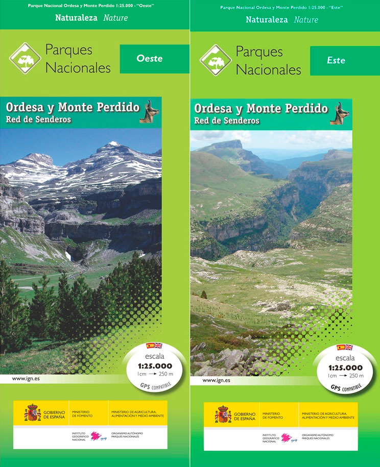
Ordesa and Monte Perdido National Park at 1:25,000 on a contoured and GPS compatible map from IGN/CNIG with cartography from their topographic survey of Spain.The map has contours at 10m intervals enhanced by relief shading, plus colouring and graphics to show different types of vegetation. Hiking trails are highlighted. A wide range of symbols indicate
Teide National Park – Tenerife CNIG Map-Set
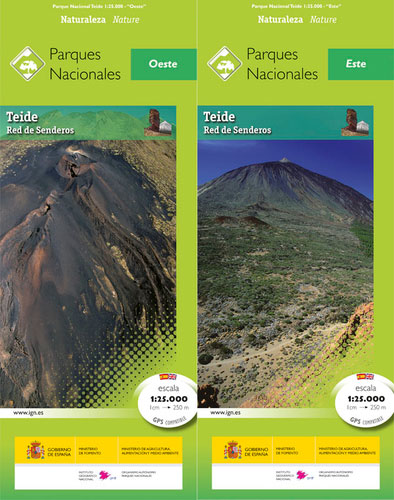
Teide National Park on Tenerife at 1:25,000 on a contoured and GPS compatible map from IGN/CNIG with cartography from their topographic survey of Spain.The map has contours at 10m intervals enhanced by relief shading, plus colouring and graphics to show different types of vegetation. Hiking trails are highlighted. A wide range of symbols indicate various

Teide National Park – Tenerife CNIG Map and Guide Set SPANISH
Teide National Park on Tenerife at 1:25,000 on a contoured and GPS compatible map from IGN/CNIG with cartography from their topographic survey of Spain.The map has contours at 10m intervals enhanced by relief shading, plus colouring and graphics to show different types of vegetation. Hiking trails are highlighted. A wide range of symbols indicate various
Malaga – The 25 Best Routes in the Protected Natural Areas
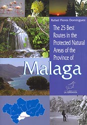
This walking guide to Malaga looks at 25 specific routes in the protected natural areas, aimed at giving the walker an introductions to the spaces themselves.Each walk is made up of a detailed description of the sights you will see and places to explore as you go on your walk, whilst a basic topographical maps
Gardens of the Alhambra Hill: A Meditated Vision
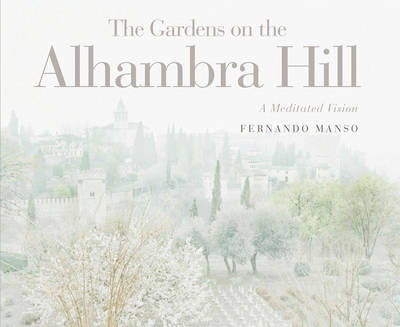
The gardens of the Alhambra Hill, is intended to be a publication that reflects the historical and aesthetic importance of the gardens of this unique monument of humanity. Since the time it was built, from the eleventh to the fifteenth centuries, the gardens have been an inseparable part of it. The authors of the text
Aiguestortes i Estany de Sant Maurici National Park CNIG Map-Guide SPANISH
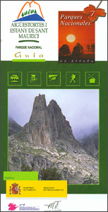
Aiguestortes i Estany de Sant Maurici National Park at 1:25,000 on a contoured and GPS compatible map from IGN/CNIG with cartography from their topographic survey of Spain. The map is accompanied by a 96-page Spanish language guide with descriptions of walks, contact details for recommended accommodation, etc. The map has contours at 10m intervals enhanced
Wazwaan: Traditional Kashmiri Cuisine
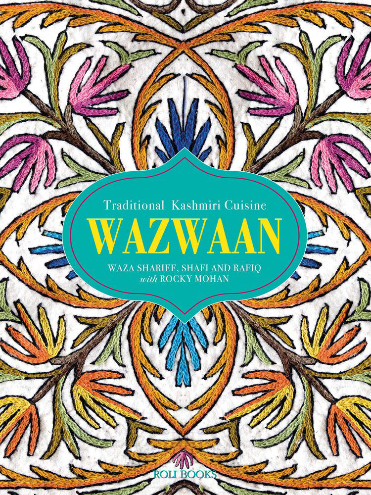
When Timur invaded India in the fifteenth century, he unknowingly introduced to the country a cuisine that is perhaps unrivalled in the world – wazwaan. The elaborate preparation and ceremonial presentation of lavish meals, often comprising 36 courses, makes wazwaan a sumptuous and royal repast. Seven dishes typically form an indispensable part of the feast
Marbella CNIG Topo 1065
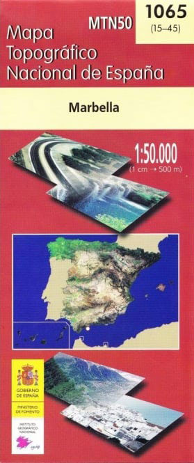
Topographic coverage of mainland Spain at 1:50,000 in the MTN50 (Mapa Topogrรกfico Nacional) series from the Centro Nacional de Informaciรณn Geografica, the country’s civilian survey organization. The maps have contours at 20m intervals, enhanced by relief shading, plus colouring and/or graphics to show different types of terrain, vegetation or land use. Boundaries of national parks
Monfragรผe National Park CNIG Map-Guide SPANISH
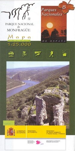
Monfragรผe National Park in Estremadura, just south of Plasencia, at 1:25,000 on a contoured and GPS compatible map from IGN/CNIG with cartography from their topographic survey of Spain. The map is accompanied by a 62-page Spanish language guide with descriptions of walks, contact details for recommended accommodation, etc. The map has contours at 10m intervals
Donana National Park CNIG Map-Guide SPANISH

Doรฑana National Park on the western coast of Andalucรญa at 1:25,000 on a contoured and GPS compatible, double-sided map from IGN/CNIG with cartography from their topographic survey of Spain. The map is accompanied by a 57-page Spanish language guide with descriptions of walks, contact details for recommended accommodation, etc. The map has contours at 10m