Category Archives: Travel Guides
Sierra Nevada Mountain Guidebook

Sierra Nevada Mountain Guidebook in English from Editorial Penibetica, publishers of a wide range of detailed, contoured walking maps of popular hiking areas of Andalucรญa. Colour extracts from their maps, overprinted with 40 routes, accompany the text.The guide is divided into colour-coded sections covering walks from different locations such as Gรผรฉjar-Sierra, Dรบrcal or Almerรญa, with
Sierra de Grazalema Complete Guidebook
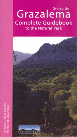
Sierra de Grazalema Complete Guidebook to the Natural Park, in English from Editorial Penibetica, publishers specializing in detailed, contoured walking maps of Andalucรญa. The guide features trail routes (reserve area and free access, as well as peni-urban trails) and long distance trails in the area, as well as mountain bike routes, canoe routes, paragliding and
Sierra de Cazorla – Sierra de Castril Editorial Penibetica

Walks in the Sierra de Cazorla and in the nearby Sierra de Castril presented by Editorial Penibetica in a SPANISH language guide with maps and route profiles. The guide covers 16 walks in the Sierras de Cazorla and Pozo, plus 14 walks in the Sierra de Castril. Each description is accompanied by a map (most
Way of St. James – Guide of the Winter Way – Ponferrada to Santiago
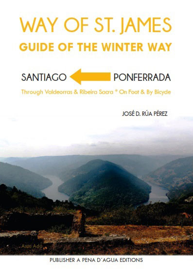
Practical guide book with maps for the pilgrim, on foot and by bicycle. It includes where to sleep and eat, telephone numbers of interest, schedules of religious offices…
Sierra de Cazorla Editorial Penibetica
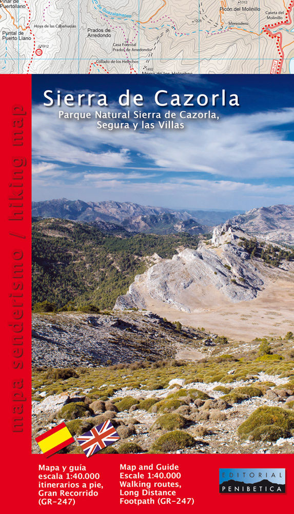
Sierra de Carorla on a double-sided, contoured and GPS compatible map at 1:40,000 from Editorial Penibetica, highlighting local hiking trails and cycling routes. Contours are at 20m intervals enhanced by relief shading. The overprint highlights hiking trails and cycling routes, with numbers cross-referencing them to descriptions in the guide. Also marked are various places of
Sierra de Segura Editorial Penibetica
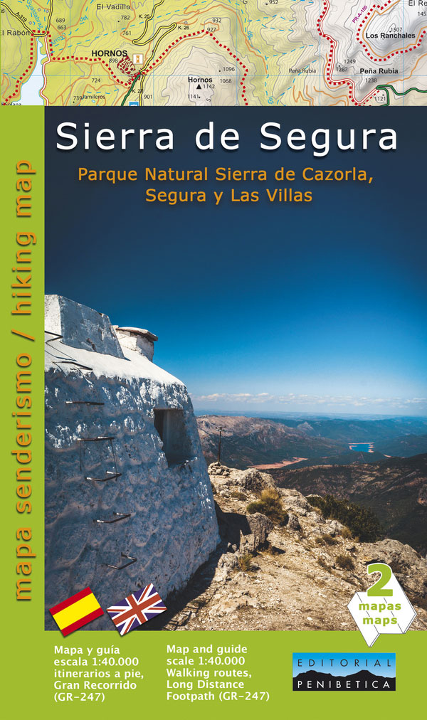
Sierra de Segura on a detailed hiking map from Editorial Penibetica at 1:40,000 scale, with a guide providing descriptions of recommended walks and general information about the area. This map has contours at 20m intervals with additional shading and altitude colouring, and provides GPS coordinates either as a grid or as margin ticks. Hiking trails
Bad Light

After both their marriages collapse, two old friends take to sharing their lives again as they used to. They go out for drinks, have long conversations, and try, all in all, to hide away from the world. One day, one of them is stabbed to death in his apartment. His friend will then seek out
Brandes` Decision

Brandes, a painter living in Nazi-occupied Paris has a tough decision to make: Goring has taken away all his artwork and asked him to hand over his Lucas Cranach painting, a family heirloom. If he relinquishes the Cranach, he will recover all his pictures in exchange. If he refuses, he will never get them back.
Penin Guide to Spanish Wine: 2019

Now in its 28th edition, the Penin Guide to Spanish Wine 2019 is the definitive guide to Spanish wine. Each year our team of tasters travels to every wine-growing area of Spain to taste and review new varieties, labels and vintages, and this year`s edition of the guide contains information on more than 11,500 new
Burma: Food, Family & Conflict

How to get to know Myanmar, a country that until recently has been off limits for all but the briefest of visits? `Burma: Food, Family and Conflict` combines original historical research, family stories and distinctive regional recipes to give a flavour of life and struggles from colonial Burma to contemporary Myanmar.Co-authored by Bridget Anderson, an
Timanfaya National Park – Lanzarote CNIG Map-Guide SPANISH

Timanfaya National Park on Lanzarote at 1:25,000 on a contoured and GPS compatible map from IGN/CNIG with cartography from their topographic survey of Spain. The map is accompanied by a SPANISH language guide with descriptions of walks, contact details for recommended accommodation, etc. The map has contours at 10m intervals enhanced by relief shading, plus
Ordesa and Monte Perdido National Park 2-Map Set
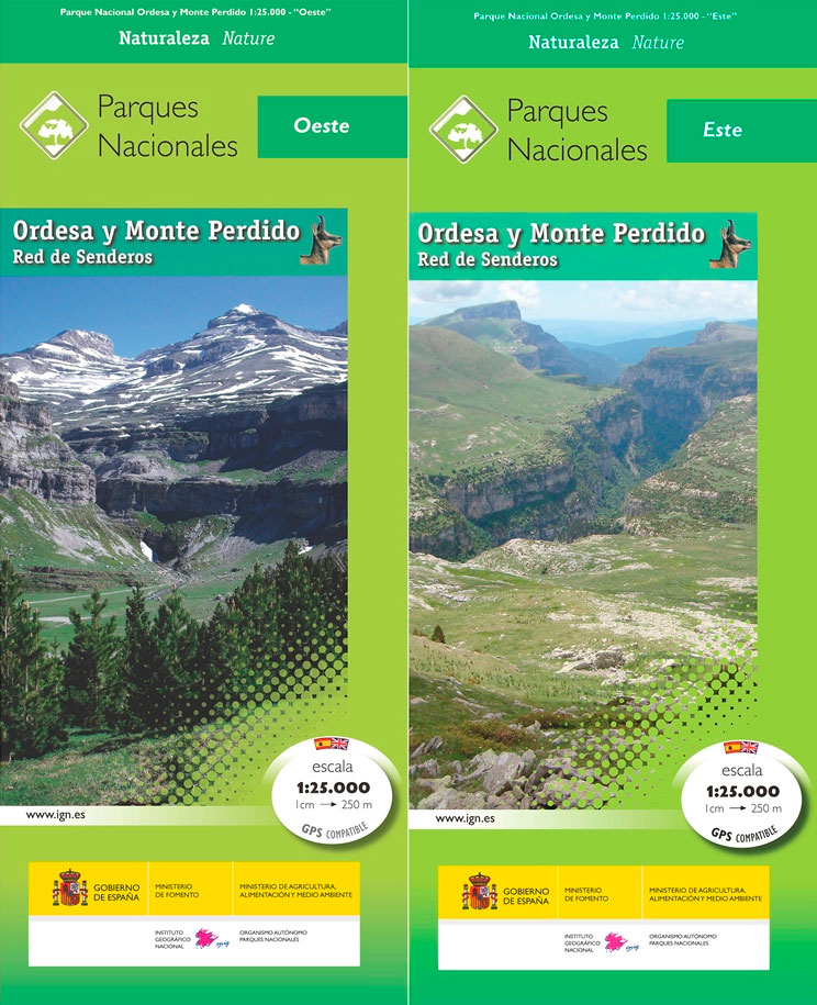
Ordesa and Monte Perdido National Park at 1:25,000 on a contoured and GPS compatible map from IGN/CNIG with cartography from their topographic survey of Spain.The map has contours at 10m intervals enhanced by relief shading, plus colouring and graphics to show different types of vegetation. Hiking trails are highlighted. A wide range of symbols indicate
Teide National Park – Tenerife CNIG Map-Set
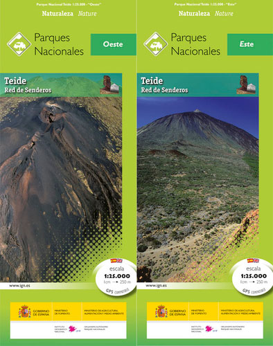
Teide National Park on Tenerife at 1:25,000 on a contoured and GPS compatible map from IGN/CNIG with cartography from their topographic survey of Spain.The map has contours at 10m intervals enhanced by relief shading, plus colouring and graphics to show different types of vegetation. Hiking trails are highlighted. A wide range of symbols indicate various

Teide National Park – Tenerife CNIG Map and Guide Set SPANISH
Teide National Park on Tenerife at 1:25,000 on a contoured and GPS compatible map from IGN/CNIG with cartography from their topographic survey of Spain.The map has contours at 10m intervals enhanced by relief shading, plus colouring and graphics to show different types of vegetation. Hiking trails are highlighted. A wide range of symbols indicate various
The Lighthouse Trail in Sierra Blanca
The Lighthouse Trail in the Sierra Blanca just north of Marbella in a lavishly illustrated bilingual guide from BioGea Ediciones, prepared by one of the local residents with years of hiking experience and extensive knowledge of the region’s flora and fauna.The Lighthouse Trail is a waymarked 5.5-km circuit on the southern slopes of Sierra Blanca,
Sรณller – Mallorca Editorial Alpina Map & Guide ENGLISH
The Valley of Sรณller in Mallorca’s Serra de Tranumtana on a very detailed, GPS compatible recreational map at 1:15,000 from Editorial Alpina with hiking routes, mountain bike trails, etc, plus an English language guide with 54 walks. The map has Sรณller itself towards its southern edge, and extends in the coastal area from Deiร in
Old Cross-Pyrenean Trail (Camino de Reencuentro): la Seu d`Urgell – Andorra – Auzat
A 105km / 65 miles long-distance hiking route crossing the Pyrenees along the ancient shepherd tracks from la Seu d’Urgel in Spain, across Andorra, to Auzat in France, presented by Editorial Alpina on a contoured and GPS compatible maps at 1:40,000.Topography is very clearly presented by contours at 20m intervals, with additional relief sharing, plenty