Category Archives: Travel Guides

Magdalena: River of Dreams

A captivating new book ‘“ from the winner of the Samuel Johnson Prize for Into the Silence ‘“ that illuminates Colombia`s complex past, present, and future through the story of the great Rรญo Magdalena.Travellers often become enchanted with the first country that captures their hearts and gives them license to be free. For Wade Davis,
The Secret Network of Nature: The Delicate Balance of All Living Things

Did you know that trees can make clouds?Or that a change in wolf population can alter the course of a river?Or that earthworms give wild boar directions?The natural world is a web of intricate connections, many of which go unnoticed by humans. But it is these connections that maintain nature’s finely balanced equilibrium, and tinkering
Hagen 1944 British War Office Survey Map
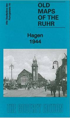
Hagen in 1944 in the Alan Godfrey series of reproductions of British War Office survey first published in 1945 prior to the Allied occupation of the area. The map covers Hagen and the area northward to Herdecke. Features include Haspe, Berchum, Eppenhausen, Emst, Altenhagen, Kabel, Delstern, Halden, Vorhalle, Eckesey, Kรผckelhausen, etc.To see other titles in
Duisburg North: Hamborn and Bruckhausen 1944 British War Office Survey Map
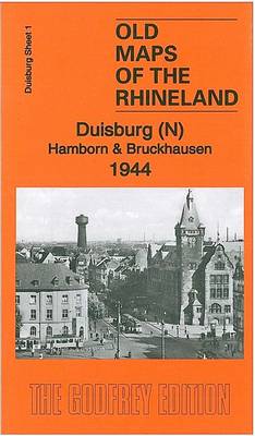
Duisburg North: Hamborn and Bruckhausen in 1944 in the Alan Godfrey series of reproductions of British War Office survey first published in 1945 prior to the Allied occupation of the area. The map covers the northern part of Duisburg, including Hamborn, once a major city in its own right. Features include Bruckhausen, Marxloh, Schwelgern, part
Hohensyburg and Westhofen 1944 British War Office Survey Map
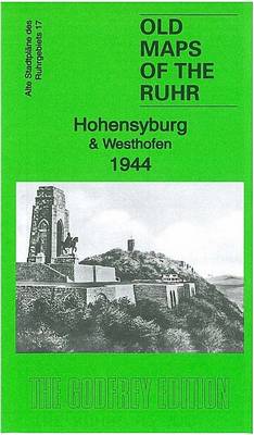
Hohensyburg and Westhofen in 1944 in the Alan Godfrey series of reproductions of British War Office survey first published in 1945 prior to the Allied occupation of the area. The map covers the area south of Dortmund, including Hohensyburg, Ahlenberg, Lรถttringhausen, Syburg, Holzen and Westhofen, as well as parts of Schwerte and Herdecke. At the
Wuppertal: Elberfeld 1945 British War Office Survey Map
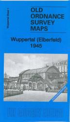
The Elberfeld area of Wuppertal in 1945 in the Alan Godfrey series of reproductions of British War Office survey first published in 1945 prior to the Allied occupation of the area. The map shows railways, industry, the Schwebebahn, Nรผtzenberg, Westen, Lichtenplatz, etc. The map was partly taken from a survey in 1944 and shows buildings
Wuppertal: Barmen 1945 British War Office Survey Map
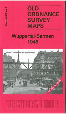
The Barmen area of Wuppertal in 1945 in the Alan Godfrey series of reproductions of British War Office survey first published in 1945 prior to the Allied occupation of the area. The map shows railways, industry, the Schwebebahn, Langerfeld, Ohde, Lichtenplatz, etc. The map was partly taken from a survey in 1944 and shows buildings
Hamm 1945 British War Office Survey Map
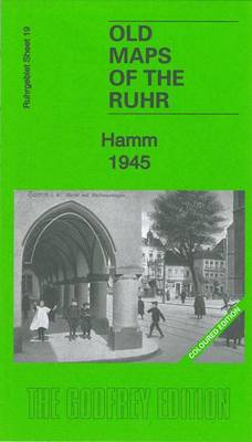
Hamm in 1945 in the Alan Godfrey series of reproductions of British War Office survey first published in 1945 prior to the Allied occupation of the area. Features include city centre, station with railway and marshalling yards, and a key to the major industries and public buildings.To see other titles in this series please click
Koln (N) 1944: Cologne Sheet 1
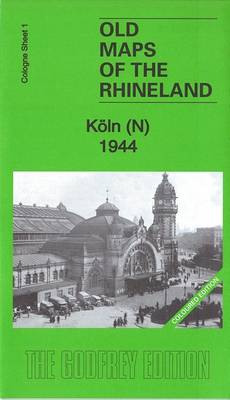
The northern part of Cologne in 1944 in the Alan Godfrey series of reproductions of British War Office survey first published in 1945 prior to the Allied occupation of the area. Both maps covering the city (north and south) are double-sided to provide maximum coverage. Though published in 1944, the maps show the area largely
Koln (S) 1944: Cologne Sheet 2
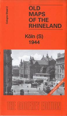
The southern part of Cologne in 1944 in the Alan Godfrey series of reproductions of British War Office survey first published in 1945 prior to the Allied occupation of the area. Both maps covering the city (north and south) are double-sided to provide maximum coverage. Though published in 1944, the maps show the area largely
National Parks of the USA

Discover the beauty and diversity of America`s great outdoors in this tour of its most iconic national parks. Explore Florida`s river-laced Everglades, travel down the white water rapids of the Grand Canyon, trek across the deserts of Death Valley and scale the soaring summits of the Rocky Mountains with this book that brings you up
Ireland – Landmarks, Landscapes & Hidden Treasures
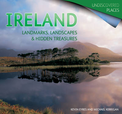
A breathtaking land of wildly varied landscapes, Ireland is shown here in all its beauty. From well-loved spots to seldom-seen vistas, this great little book captures the country as you`ve never seen it before, covering the whole of the Emerald Isle from Ulster North to Munster South, from Giant`s Causeway to the Cliffs of Moher.
A History of Britain Vol.1
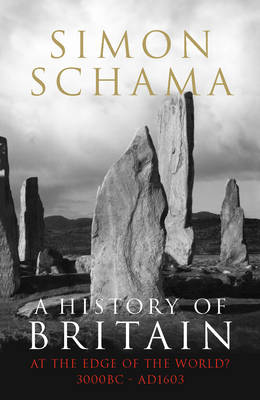
`History clings tight but it also kicks loose,` writes Simon Schama at the outset of this, the first book in his three-volume journey into Britain`s past. `Disruption as much as persistence is its proper subject. So although the great theme of British history seen from the twentieth century is endurance, its counter-point, seen from the
Marlborough, Avebury & the Downs 1897 – 266 Coloured Edition
Marlborough, Avebury and the Downs in 1897 in a series of reproductions of Ordnance Survey’s famous “Inch to the Mile” maps published in the Alan Godfrey Editions to provide a historical record of England and Wales in the second half of 19th and early 20th century.The map in printed in colour and covers the area