Category Archives: Travel Guides
France & Spain Philip`s Road Atlas
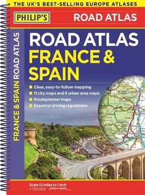
The new edition Philip`s France and Spain Road Atlas, in a spiral A4 format, is the must-have atlas for anyone travelling to these countries by motor vehicle. In addition to the main maps at 1:750,000, the road network is shown at three supplementary scales from 1:250,000 to 1:3M, with ultra-clear detailed maps for urban areas.
Scotland Philip`s Navigator Road Atlas
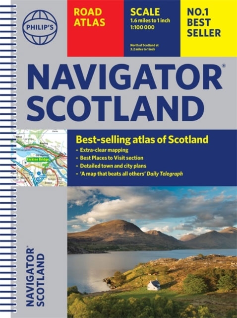
PHILIP`S NAVIGATOR SCOTLAND – THE BEST-SELLING ATLAS OF SCOTLAND`A map that beats all others` The Daily Telegraph`Scale, accuracy and clarity are without parallel` Driving Magazine`No.1 in the UK for clear maps` Independent research survey- Exceptional clarity at a scale of 1.5 miles to 1 inch = 1:100,000 (3 miles to 1 inch = 1:200,000 for
Europe Philip`s Multiscale Road Atlas 2020 A4
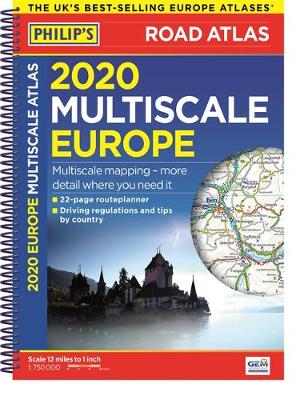
PHILIP`S: THE BEST-SELLING EUROPE ROAD ATLAS RANGE IN THE UK `The clearest and most detailed maps of Europe` David Williams MBE, CEO Gem Motoring Assist `The best of its kind with quick, easy-to-use information` Fleet Week Multiscale mapping – more details where you need it Special feature for 2020 `Driving Abroad – avoiding the latest
Germany & Netherlands Philip`s Road Map
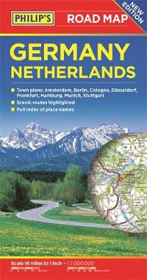
PHILIP`S BEST-SELLING RANGE OF BRITISH AND EUROPEAN MAPS`THE CLEAREST AND MOST DETAILED MAPS OF EUROPE` David Williams MBE, CEO Gem Motoring Assist The bestselling fold-out road map for navigating in Germany and the Netherlands has been updated for all travellers wanting to go places from Rotterdam to the Rhine. Whether driving through the most spectacular
Europe Philip`s Complete Road Atlas 2020
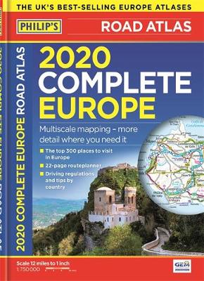
PHILIP`S: THE BEST-SELLING EUROPE ATLAS RANGE IN THE UK Philip`s: the UK`s best-selling Europe Atlas range The 300 greatest sights of Europe, plus Europe country-by-country special features `The clearest and most detailed maps of Europe` David Williams MBE, CEO Gem Motoring Assist Special feature for 2020 `Driving Abroad – avoiding the latest pitfalls` Philip`s 2020
France, Belgium & the Netherlands Philip`s Road Atlas
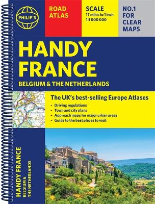
Philip`s Road Atlas France, Belgium and The Netherlands shows the national road networks at a scale of 1:1 million, with ultra-clear, detailed mapping for urban areas. All the scenic routes are clearly highlighted, and the maps show huge numbers of places to visit including beaches, theme parks, national parks and World Heritage Sites.Alongside the easy-to-read,
Britain & Ireland Philip`s Complete Road Atlas 2020 HARDBACK
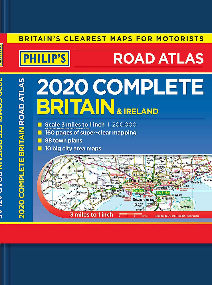
Mapping at a scale of 3 miles to 1 inch = 1:200,000Perfect as a gift – the Philip`s deluxe hardback atlasPhilip`s: Britain`s clearest maps for motoristsCompletely updated and revised for 2019- Special feature: UK Truckstops – gourmet or gruesome?- 160 pages of fully updated super-clear road maps- 10 pages of detailed route-planning maps – plan
Britain Philip`s Compact Road Atlas A5 FLEXIBOUND
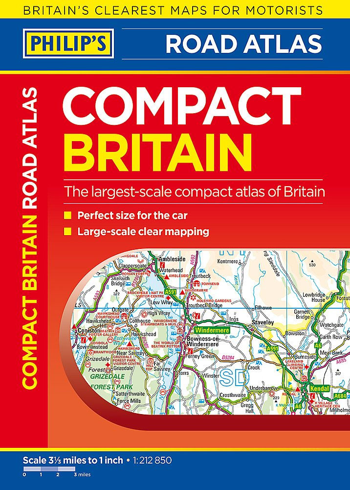
– Handy `glovebox` format for the car.- Flexibound for long-lasting use.- The clearest, most detailed maps in a compact format.- Complete coverage of Great Britain at 3.3 miles to 1 inch.- 287 pages of clear, detailed road maps.- Includes a 6-page route-planning section.
Britain & Ireland Philip`s Complete Road Atlas 2020 SPIRAL-BOUND
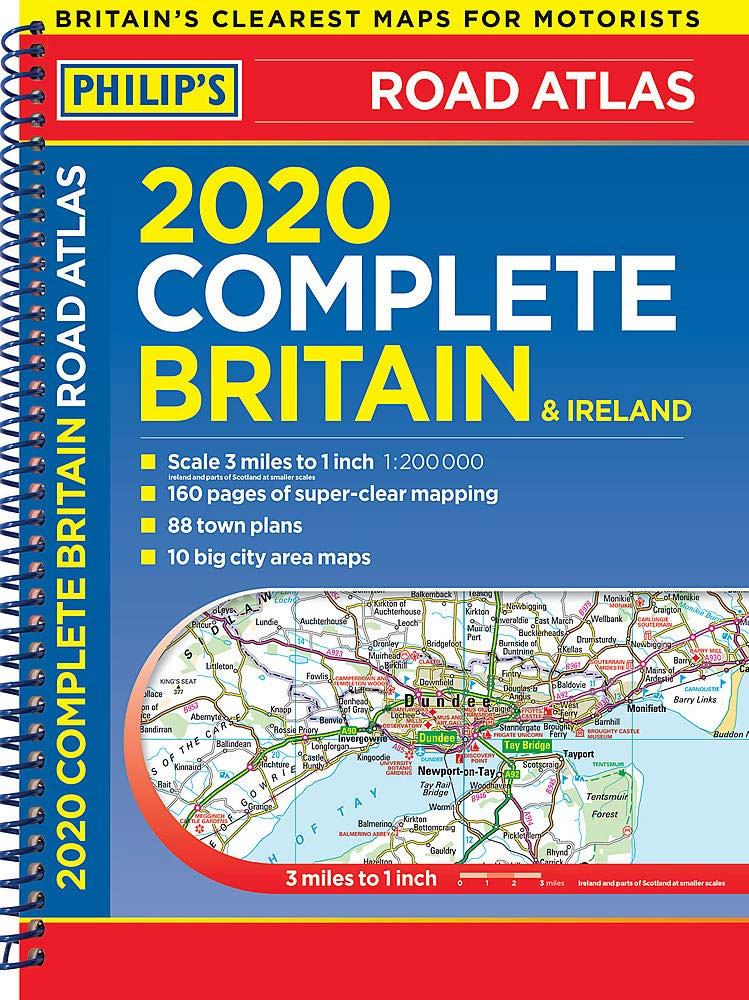
PHILIP`S – THE FASTEST GROWING BRAND OF UK ROAD ATLASESNo. 1 in the UK for clear maps`Good balance between detail and clarity with excellent town maps` What Car?Mapping at a scale of 3 miles to 1 inch = 1:200,000Philip`s: Britain`s clearest maps for motoristsCompletely updated and revised for 2020- Special feature: UK Truckstops – gourmet
Buckinghamshire and Milton Keynes Philip`s Street Atlas
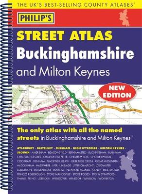
THE ONLY COUNTY STREET ATLAS WITH ALL THE NAMED STREETS OF BUCKINGHAMSHIREThe UK`s best-selling county street atlasesMore than 24,000 named streets, roads, lanes and alleysThe essential map book for residents and visitors – and if you`re moving to BuckinghamshireIncludes all the streets in AYLESBURY, BLETCHLEY, CHESHAM, HIGH WYCOMBE, MILTON KEYNES, SLOUGH, Amersham, Beaconsfield, Berkhamsted, Buckingham,
Nottinghamshire Philip`s Street Atlas
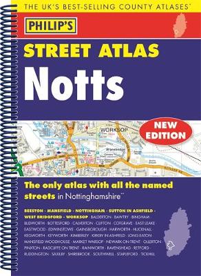
THE ONLY COUNTY STREET ATLAS WITH ALL THE NAMED STREETS OF NOTTINGHAMSHIREThe UK`s best-selling county street atlasesMore than 24,000 named streets, roads, lanes and alleysThe essential map book for residents and visitors – and if you`re moving to NottinghamshireIncludes all the streets in BEESTON, MANSFIELD, NOTTINGHAM, SUTTON IN ASHFIELD, WEST BRIDGFORD, WORKSOP, Balderton, Bawtry, Bingham,
London Philip`s Mini Street Atlas
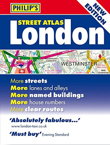
A fully revised edition of this mini street atlas of inner London. The street maps of central London are at 7 inches to 1 mile, with the rest of inner London at 3.5 inches to 1 mile. – The most comprehensive mini London street atlas. – Street maps show hundreds of places of interest, tube
London Philip`s Street Atlas De Luxe Edition Union Jack
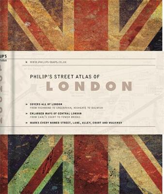
This new Philip`s De Luxe edition of the fully revised mini street atlas of London is attractive, professional and discreet. This stylish edition is the perfect accessory for both handbag and briefcase. The atlas covers all of London from Richmond to Greenwich and from Highgate to Streatham, with enlarged maps of central London from Earl`s
Britain & Ireland Philip`s Motorist`s Road Atlas 2019 A3 PAPERBACK
PHILIP`S – THE FASTEST GROWING BRAND OF UK ROAD ATLASES No. 1 in the UK for clear maps `Good balance between detail and clarity with excellent town maps` What Car? Main scale of maps: 3 miles to 1 inch = 1:200,000Great for planning and driving long journeys or short hops Philip`s: Britain`s clearest maps for
France Philip`s Navigator Road Atlas SPIRAL-BOUND
FRANCE`S MOST DETAILED ROAD MAPPING Now the UK`s top road atlas brand brings you France Everything you`ll need for driving in France Completely updated, comprehensive, and revised for 2018 – 520 pages of specialist super-clear road maps – Practical A4+ format with spiral binding – 3 miles to 1 inch = 1:200,000 – 18 pages
Planisphere (for latitude 51.5 degrees north)
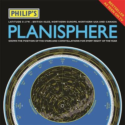
* A really useful bit of kit…a map of the night sky for any time of the year` Mark Thompson, TV Astronomer on BBC Stargazing Live* Just turn the disc and `dial up` tonight`s night sky* Accurate sky map for every hour of every night 24/7/365* Simple and fun to use for beginners – and
Philip`s Moon Map
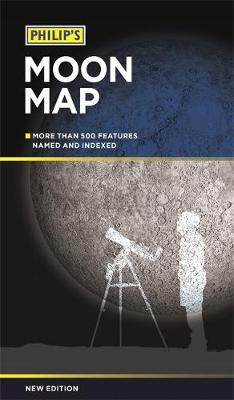
* The essential map for all Moonwatchers* Superbly detailed map of the Moon`s visible surface* 500 Moon features located, with index* Craters, seas, mountains, peaks and valleys* Landing sites of manned and unmanned spacecraft located* Helpful text aids moonwatching* Plus map of the far side of the Moon* Maps drawn by lunar expert Dr. John
Surrey Philip`s Street Atlas
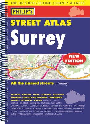
This fully updated Philip`s street atlas of Surrey gives comprehensive and detailed coverage of the county in a convenient spiral-bound format. The route planner shows all the A and B roads, and can be used when driving to get close to the destination before turning to the relevant large-scale street map. The street maps show
Philip`s Guide to the Northern Constellations
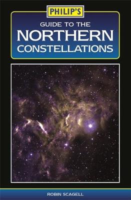
A guide to stars and constellations visible with the naked eye in the northern hemisphere, illustrated with simple `signpost` maps to guide the reader around the night sky, for each season. Additional highlights include information on our solar system, as well as fascts about comets, meteors and the Universe.
Philip`s Essential Guide to Space
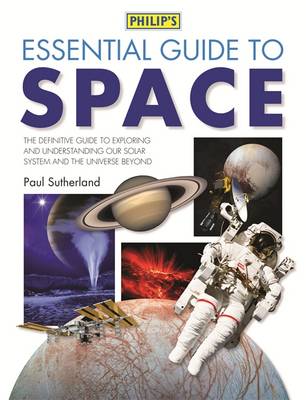
A stimulating guide detailing recent developments in space exploration written by Paul Sutherland. Rockets, spacecraft and satellites – the first steps into space. The race to the Moon – and future lunar exploration. Exploring the Solar System – up-to-date information about human and robotic spaceflight. Making space home – living and working on the International