Category Archives: Travel Guides
Yorkshire Wolds Way Harvey National Trail XT40
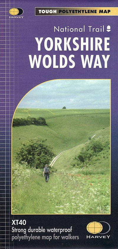
The Yorkshire Wolds Way is a 79 mile (127 km) walking route in the chalk landscape of the Yorkshire Wolds. The National Trail wends through some of the most tranquil and gentle countryside in England. From the banks of the mighty Humber estuary, along wooded slopes and through serene dry valleys, the walk climbs gently
John O`Groats Trail Harvey National Trail XT40
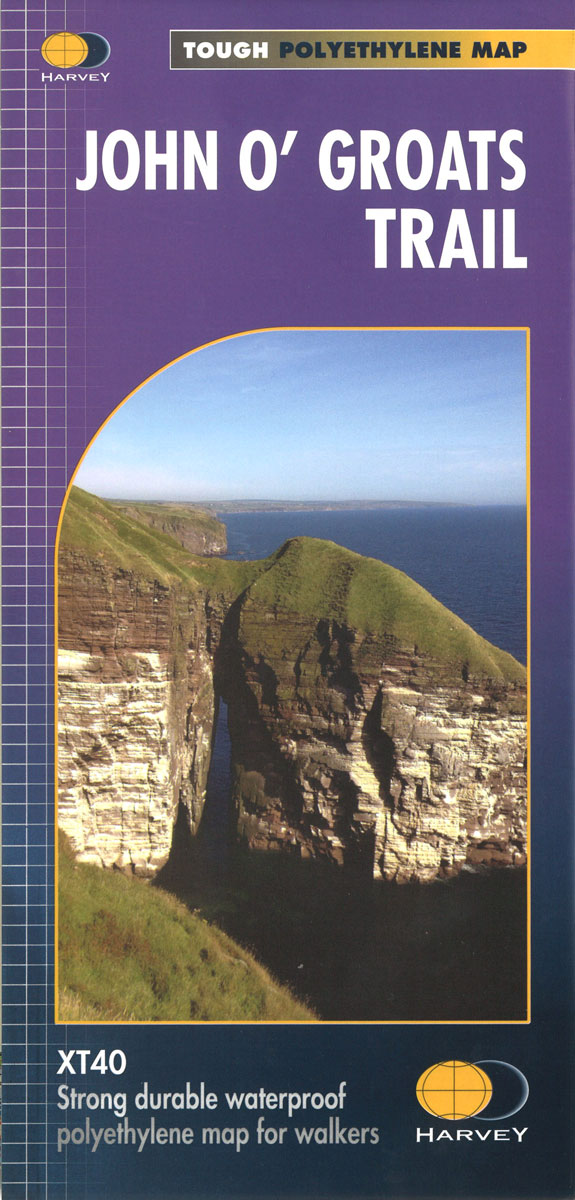
Light to carry and waterproof, these trail maps get a week`s walking onto a single sheet. Clear 1:40,000 scale mapping shows facilities available in town and villages, as well as useful contact numbers. John O’Groats Trail is a 237 kilometres (147 miles) coastal walking route from Inverness to John O’Groats traversing shorelines, cliff tops, back
Teaching Navigation
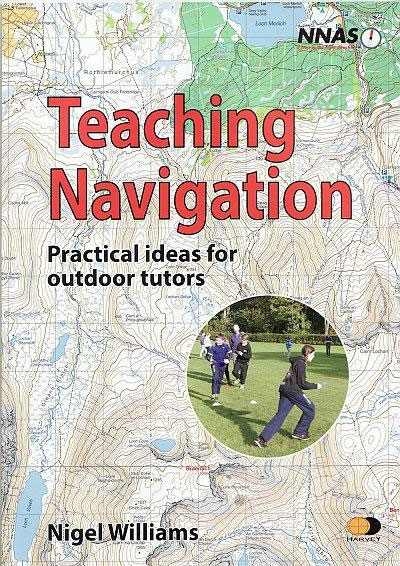
This book supports the Tutor Training Course for the National Navigation Award Scheme and complements the NNAS Outdoor Navigation Handbook for Tutors. The contents have been developed to support anyone teaching navigation, in schools and colleges, youth and voluntary organisations or training leaders and instructors in the professional outdoor sector. This handbook helps establish a
Mourne Mountains Harvey XT25 Superwalker Map

This Mourne Mountains Superwalker Map covers the highest mountains in Northern Ireland, an Area of Outstanding Natural Beauty. The Mournes are a granite mountain range in County Down, with the highest peak being Slieve Donard at 850 metres. This detailed map for hillwalkers of the Mountains of Mourne at a scale of 1:25,000, and includes
Outdoor Discovery Handbook
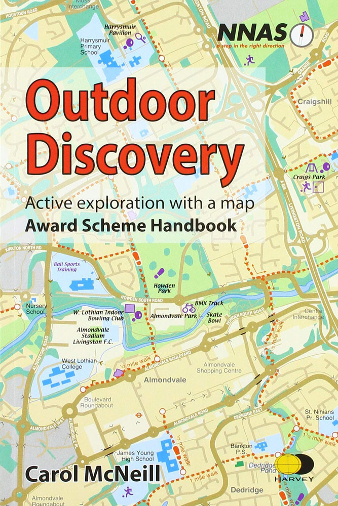
This new full colour resource uses easy to follow, fun activities, to introduce the basic elements of navigation to people of all ages. By Carol McNeill and published for the National Navigation Award Scheme (NNAS). The National Navigation Award Scheme provides a structured system for people who wish to learn land navigation skills. Their Outdoor
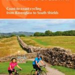
Coast to Coast – St Bees to Robin Hood’s Bay Harvey XT40 National Trail Map
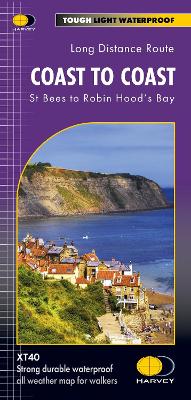
NEW for 2021 – the whole of the Coast to Coast long distance walking route ON ONE MAP. The Coast to Coast is a 307km (192 miles) walking route across northern England, passing through the Lake District, Yorkshire Dales and North York Moors National Parks. It connects the west coast (St Bees) with the east
Offa`s Dyke Path Harvey National Trail XT40
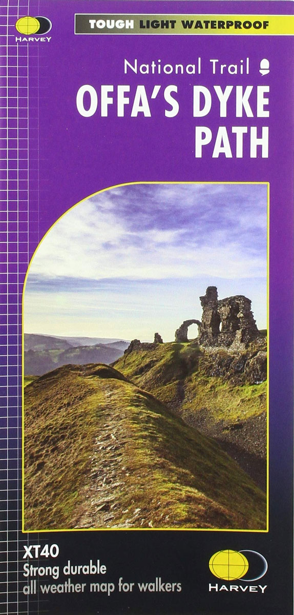
Entire route on one mapOffa`s Dyke Path is a National Trail 285km long (177 miles) along the border between Wales and England. The route runs from Chepstow in the south to Prestatyn on the north Wales coast.Offa was a famous king of Mercia from 757 to 796, ruling an area stretching across a large part
The Munros – The Complete Collection of Maps
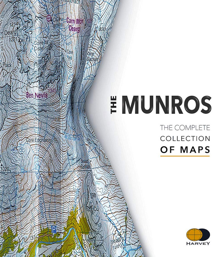
In this unique and colourful volume, the deep fascination of the Munros is revealed through Harvey`s beautiful and intricate mapping. From the far reaches of Ben Hope to the mysterious Lochnagar, from the extraordinary complexity of the Cuillin Ridge of Skye to the remate A`Mhaighdean, the fearsome ridges of Liathach and the gaunt towering profile
Paris in Quotations
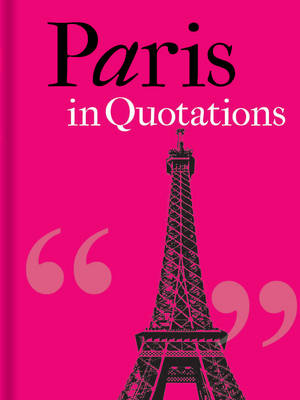
Over the centuries, Paris has intrigued, revolted, scandalized and most of all captured the heart of many a visitor. For Dickens it is the `most extraordinary place in the world`, for Hazlitt, `a beast of a city`, and for French writers, the essence of civilization: `I maintain that, for people of breeding, there is no
Peddars Way & Norfolk Coast Path Harvey National Trail XT40
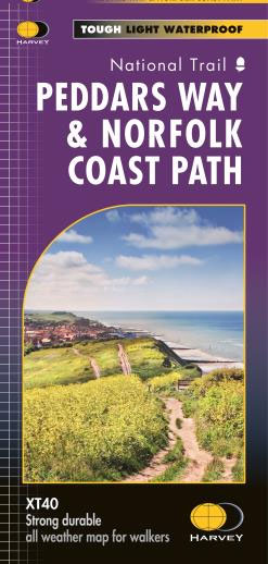
Detailed 1:40,000 scale maps of English and Welsh National trails and Scottish Great Trails”A great companion to a National Trail. Clear mapping and concise information enhance enjoyment of the journey.” Malcolm Hodgson, North York Moors NPA- The detail you need for sure navigation- Clear 1:40,000 scale mapping with full legend- Full legend- Can be used
Chicago in Quotations
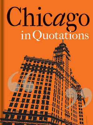
`I have struck a city- a real city – and they call it Chicago …I urgently desire never to see it again. It is inhabited by savages,` so wrote Rudyard Kipling on his tour of America in 1899. From these inauspicious beginnings rose the `windy city`, home to the first skyscraper, gateway to the Great
Dartmoor North Harvey Ultramap XT40
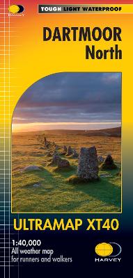
Covers a large area yet is handily compact. Pocket perfect!Detailed map for runners and walkers of the north section of Dartmoor National Park at the magic scale of 1:40,000.Features Dartmoor`s famous Tors including Haytor Rocks, Yes Tor and High Willhays.Archaeological sites include standing stones, stone circles and ancient travel routes are also shown.Fully detailed genuine
London Prints And Drawings before 1800
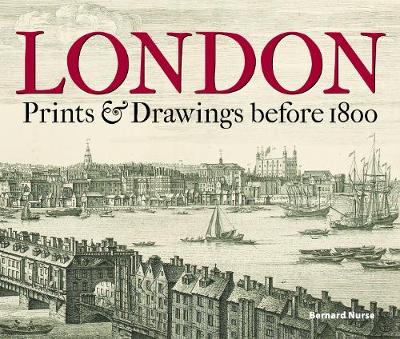
By the end of the eighteenth century London was the second largest city in the world, its relentless growth fuelled by Britain`s expanding empire. Before the age of photography, the most widely used means of creating a visual record of the changing capital was through engravings and drawings, and those that survive today are invaluable
Dartmoor South Harvey Ultramap XT40

Covers a large area yet is handily compact. Pocket perfect!Detailed map for runners and walkers of the north section of Dartmoor National Park at the magic scale of 1:40,000.Features Dartmoor`s famous Tors including Great Staple Tor and Ugborough Beacon.Archaeological sites include standing stones, stone circles and ancient travel routes are also shown.Fully detailed genuine HARVEY
Writing the Thames
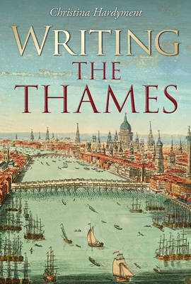
Thames aficionado Robert Gibbings once wrote that `the quiet of an age-old river is like the slow turning of the pages of a well-loved book`. Writing the Thames tells a much-loved river`s story through the remarkable prose, poetry and illustration that it has inspired. In eight themed chapters it features historical events such as Julius
Pitlochry – Loch Tummel & Blair Atholl Harvey XT25 Superwalker Map
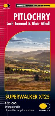
Detailed map for hillwalkers of Pitlochry, Loch Tummel and Blair Atholl at the popular 1:25,000 scale.Includes Ben Vrackie, Beinn a’ Ghlo and Pass of Killiecrankie. Shows Aberfeldy in the south, Pitlochry to the east and the hills north of Blair Atholl.Includes 5 Munros and 4 Corbetts.Tough, light, durable and 100% waterproofGenuine, original, HARVEY mappingShows Core
Evelyn Waugh`s Oxford
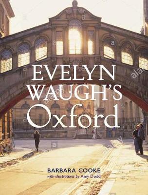
Oxford held a special place in Evelyn Waugh`s imagination. So formative were his Oxford years that the city never left him, appearing again and again in his novels in various forms. This book explores in rich visual detail the abiding importance of Oxford as both location and experience in his literary and visual works. Drawing
Lost Maps of the Caliphs
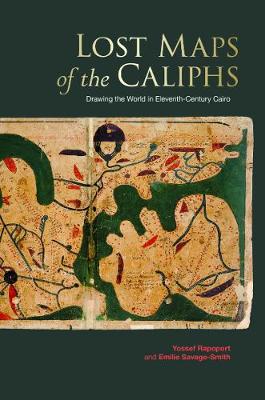
About a millennium ago, in Cairo, someone completed a large and richly illustrated book. In the course of thirty-five chapters, our unknown author guided the reader on a journey from the outermost cosmos and planets to Earth and its lands, islands, features and inhabitants. This treatise, known as The Book of Curiosities, was unknown to
London Map Journal

The Bodleian Library`s exciting new range of journals showcases gorgeous illustrations from our collections on the covers. Designed to be easily portable or to fit in a small bag, each hard cover journal is 207 x 140mm, with 160 lined pages of high quality paper. Every journal is finished with a sturdy elastic band closure,
Queen Elizabeth`s Book of Oxford: Ms Bodley 13a, A Facsimile with Introduction and Translation
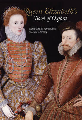
Queen Elizabeth`s Book of Oxford was made in 1566 as a gift for Elizabeth I on the occasion of her first royal visit to Oxford. It was made, however, not just out of reverence for the Queen, but with the aim of getting her to endow the foundation of a new college. This sophisticated tour