Category Archives: Travel Guides
Pennine Way Cicerone Map Booklet

Britain`s oldest, toughest and best-known long-distance footpath, the Pennine Way stretches 427km (2651/2 miles) from Edale in Derbyshire to Kirk Yetholm in the Scottish Borders. Showcasing the wild beauty of the North, it crosses three National Parks – the Peak District, Yorkshire Dales and Northumberland National Park – plus the North Pennines Area of Outstanding
Walking on the Azores: 70 routes across Sao Miguel, Santa Maria, Terceira, Graciosa, Sao Jorge, Pico, Faial, Flores and Corvo
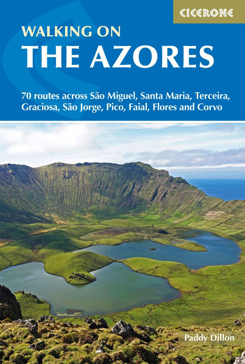
A comprehensive guide to walking in the Azores. The guidebook is divided into three island groups: Eastern Group (covering Sรฃo Miguel and Santa Maria); Central Group (Terceira, Graciosa, Sรฃo Jorge, Pico and Faial); and Western Group (Flores and Corvo). Most the 70 routes presented here use the Azores` official waymarked trail network and range from
Isle of Man Coastal Path – with the Millennium & Herring Ways
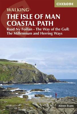
Raad ny Foillan (The Way of the Gull) is a 98 mile footpath around the Isle of Man. The route description is set out as a circuit and split into stages, with the longest walk being 15.5 miles and the shortest being 7 miles. Any fast walkers may wish to complete two stages per day,
The Snowdonia Way: A Walking Route Through Snowdonia from Machynlleth to Conwy
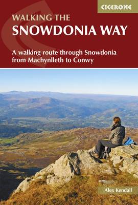
This guidebook describes the Snowdonia Way in Wales, a long-distance route through Snowdonia National Park from Machynlleth to Conwy. A low-level route of 97 miles (in 6 stages of between 13 and 21 miles) passes through the heart of Snowdonia`s stunning mountain scenery and includes Pass of Aberglaslyn, Ogwen Valley and Aber Falls. It is
Walking in the Drakensberg: 75 Walks in the Maloti-Drakensberg Park
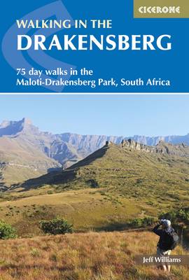
A guidebook to the Maloti-Drakensberg Park World Heritage Site. The book describes 75 day walks of between 1km and 26km long, in Royal Natal National Park, Cathedral Peak, Monk`s Cowl, Injisuthi, Giant`s Castle, Highmoor, Kamberg, Lotheni, the Himeville and Underberg districts, plus Bushman`s Nek. Graded from easy to strenuous, the walks take in the spectacular
The West Highland Way: Milngavie to Fort William Scottish Long Distance Route
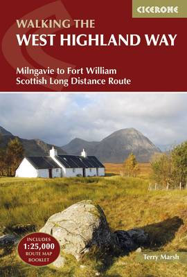
A guidebook to Scotland`s West Highland Way, a 95-mile walk from Milngavie near Glasgow to Fort William, passing Loch Lomond, crossing Rannoch Moor and finishing in the shadow of Britain`s highest mountain. The walk, which takes roughly one week to complete, is described in seven stages, with each stage ranging from 8 to 20 miles.
Walking on the Amalfi Coast: Ischia, Capri, Sorrento, Positano and Amalfi
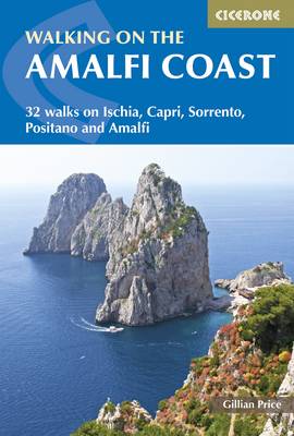
Walking on the Amalfi Coast describes 32 day-walks, ranging from 3km to 11km in length. The walks explore the Sorrento Peninsula, Amalfi Coast and Monti Lattari, as well as the islands of Capri and Ischia in the Gulf of Naples. The whole area is crisscrossed by ancient mule tracks, pilgrim routes and goat tracks, offering
Walking in Austria: 101 Routes – Day Walks, Multi-Day Treks and Classic Hut-to-Hut Tours
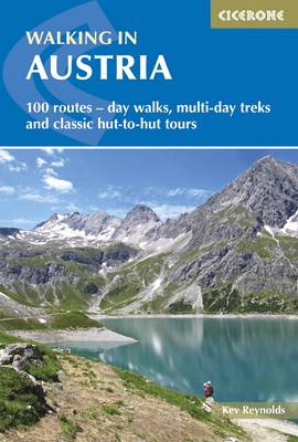
A comprehensive guidebook detailing walking routes in Austria. The 101 walks reflect the diversity of this popular region and cover Austria`s magnificent Alps – including the Ratikon, Silvretta, Stubai and Zillertal – as well as the Dachsteingebirge, Hohe Tauern and the Karawanken. Graded according to difficulty and ranging from short walks of a few kilometres
Yorkshire Dales South and West
The Yorkshire Dales need little introduction: their picturesque scenery and hundreds of miles of footpaths, tracks and bridleways have been attracting walkers for decades. Part of a two-volume set, this guidebook presents over 40 routes in the south and west of the National Park, with bases including Sedburgh, Malham, Grassington, Skipton, Settle and Kirkby Lonsdale.
The North Downs Way
A guidebook to walking the North Downs Way National Trail, a 130 mile (208km) walk between the high downland of Farnham and the historic city of Dover on the Kent coast, with an optional visit to Canterbury. The route is described in 11 stages, and is fully illustrated with colour photographs and OS map extracts.
Walking in Kent
Walking in Kent describes 40 circular day walks in the Garden of England. This guidebook includes routes ranging from 5 to 9 miles in west Kent and The Weald and north and east Kent. Encompassing woodland walks, clifftop paths and riverside rambles, there is something for everyone, from family strollers and determined ramblers. No specialised
Trekking in the Vanoise: Tour of the Vanoise and the Tour des Glaciers de la Vanoise
This guide describes the eleven-day 163km Tour of the Vanoise and the five-day 72km Tour des Glaciers de la Vanoise, two fantastic hut-to-hut treks through the pristine Alpine landscapes of France`s Vanoise National Park. Three other short treks – the Tour of the Eastern Vanoise, the Tour of the Western Vanoise and a Traverse of
Tour of the Jungfrau Region: 10 days trekking in the Bernese Oberland
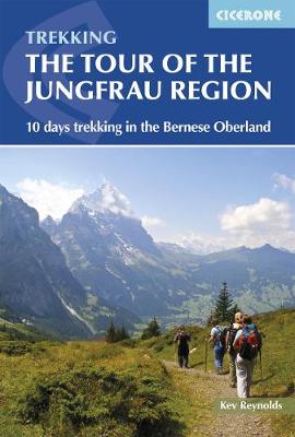
The Tour of the Jungfrau Region is described as a clockwise hut-to-hut circuit, beginning at Schynige Platte and ending at Wilderswil, broken into 10 stages (with a number of alternatives offered). The 111km trek takes you in a horseshoe loop through the Bernese Oberland`s most spectacular mountain scenery, in the shadow of such iconic peaks
Pentland Hills Walking
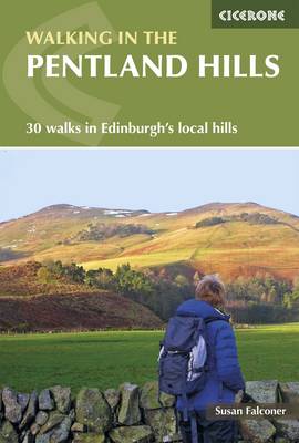
This guidebook describes 30 circular walks in Scotland`s Pentland Hills, a range of low summits which extends between Edinburgh and Biggar in South Lanarkshire. Ranging from 3 to 27km (2-17 miles), there is something to suit all abilities from the novice to the experienced hill-walker, with each route showcasing a different aspect of the area`s
The Speyside Way: A Scottish Long Distance Route, Includes the Dava Way and Moray Coast Trails
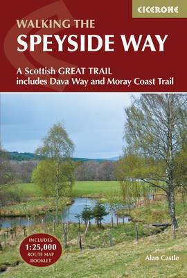
This guidebook describes the Speyside Way, an official 66 mile (106km) Scottish Long Distance Route which follows the River Spey through northern Scotland from Aviemore to the old port of Buckie on the Moray coast. Featuring easy walking on good paths and along disused railway lines, the route can be comfortably completed in a week
Walking in Norfolk: 40 Circular Walks in the Broads, Brecks, Fens and Along the Coast
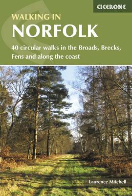
This book describes 40 easy-to-moderate circular day walks, grouped by area: Northeast coast and the Broads; South Norfolk, the Yare and the Waveney; North Norfolk and coast; Central Norfolk and Breckland and West Norfolk and Fens. Each walk is described step-by-step, illustrated with 1:40K OS map extracts and packed with historical, geological and other information
Suffolk Coast and Heath Walks: 3 Long-Distance Routes in the Aonb
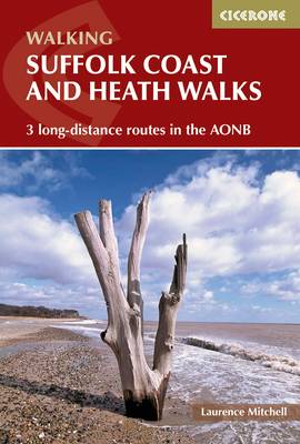
The three long-distance walks described in this book – the Suffolk Coast Path, the Stour and Orwell Walk and the Sandlings Walk – link together to provide a comprehensive and varied circuit of the entire Suffolk Heritage Coast. The Suffolk Coast Path stretches along the coast between Lowestoft and Landguard Fort, close to Felixstowe in
Ben Nevis and Glencoe: 100 Low, Mid, and High Level Walks
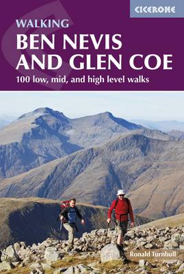
This guidebook details 100 walking routes around Ben Nevis and Glen Coe, centred in 10 areas including Fort William and Glen Nevis, the Aonachs, the Mamores, Kinlochleven, Glen Coe, Glen Etive, Black Mount and Ben Cruachan. Routes are graded according to difficulty, and range between short, easy strolls and long, challenging walks with overnight bothy
Walking on the Isle of Wight: 24 Coastal and Countryside Walks and the Isle of Wight Coastal Path

A guidebook to 33 walking routes on the beautiful Isle of Wight, including the 70 mile Coastal Path – a complete circuit of the island`s spectacular coast. Ranging from 4 to 18 miles long, the walks explore clifftops, beaches, forest trails and downland, and visit picturesque villages and the towns of Yarmouth, Cowes and Ventnor.
The Ridgeway National Trail: Avebury to Ivinghoe Beacon, Described in Both Directions
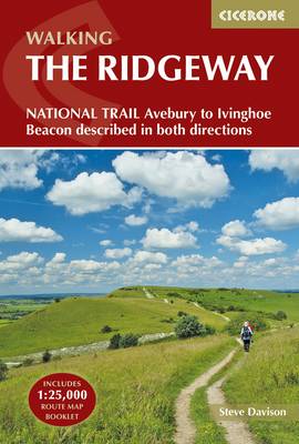
This guidebook – which includes both a guide to the route and a separate OS map booklet – describes the Ridgeway National Trail, an 87 mile (139km) route through southern England from Avebury in Wiltshire to Ivinghoe Beacon in Buckinghamshire. Typically walked in 6 or 8 days, this is a low-level waymarked route suitable for