Category Archives: Travel Guides
The West Highland Way – 95 Mile Route Between Milngavie and Fort William
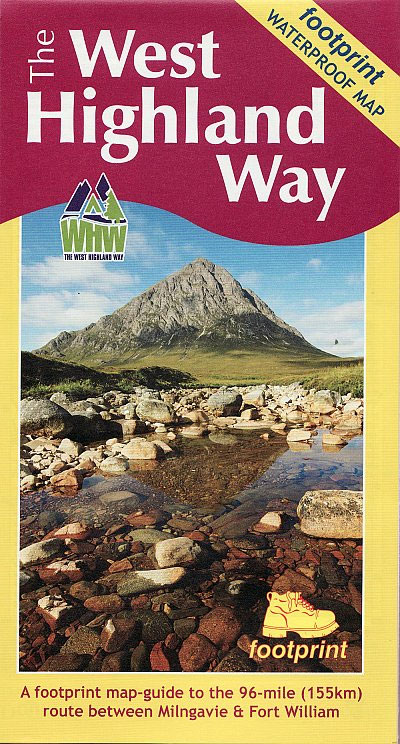
The West Highland Way waterproof map from Footprint is a map-guide to the 95 mile (153km) route between Milngavie and Fort William. The mapping is based on Ordnance Survey data at a scale of 1:40,000, with compact and concise information for walkers.
It Was Fun While It Lasted

A first-hand account of a lighthouse keeper`s life in the last traditional years before the introduction of helicopter reliefs and automation. Arthur Lane entered the Service in 1953 as a fugitive from the Birmingham branch of a large insurance company, who seem to have made no attempt to get him back. He transferred his talents
High & Lonely Place
This is the work of a man who has known and loved the Scottish Cairngorms for more than 30 years. Jim Crumley marries a poet`s instincts to an uncompromising passion for the Cairngorm`s arctic character, and for those wildlife tribes which thrive there. He marks nature`s rhythms with thoughtful observations of bird and beast, flower
Ordnance Survey Maps: A Concise Guide for Historians
This highly-specialist title covers the history of OS mapping in mind-boggling detail. Rather than the making of the maps the author is largely interested in the maps themselves. Hence, the book includes lists of which maps were published when, how each map was actually printed, etc.. Chapters include town mapping, county maps, air photographs, abbreviations
A Birdwatchers` Guide to the Canary Islands
This book provides detailed information on birding sites on this island archipelago, each site entry giving location and access, accommodation, birding strategy and species expected to be seen. It also includes a selective bird list giving brief details on the distribution and status of the uncommon birds which may be found, cross-referenced to site information,
Birdwatchers` Guide to Cuba, Jamaica, Hispaniola, Puerto Rico & the Caymans
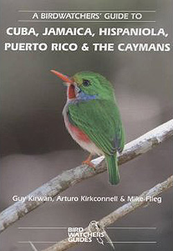
This guide covers the Greater Antilles, which comprises five groups of islands and six countries. From Cuba, with about 360 species, to the Cayman Islands with just over 220 species, the Greater Antilles have recorded just over 550 species and this total contains more than 100 single island endemics and many more restricted range species
Short Scenic Walks Upper Wharfdale
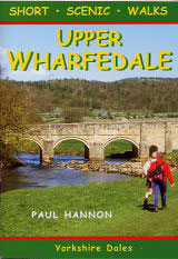
Part of a series of full-colour `Pocket Walks`, being small, practical sized guidebooks aimed at the less serious rambler. Full colour photographs and colourful sketch maps accompany each of the well described walks, with the bonus of making it an attractive souvenir of the area. Principal feature is that all walks are less than five
Cumbria Way (72 miles)
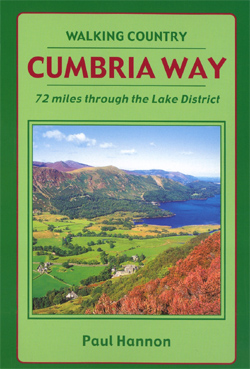
Cumbria Way (72 miles) is the Hillside mini guide to walking the well established long-distance route through the Lake District, from Ulverston to Carlisle, through the scenery of the Lake District National Park.Hillside Great Britain Mini Walking Guides series is a collection of mini guides by Paul Hannon to the walking country in Great Britain.
Malhamdale (24 walks)
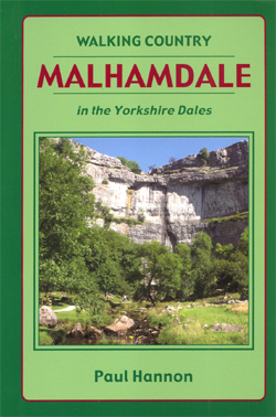
Malhamdale (24 walks) is the Hillside mini guide to walking 24 concisely described routes of between 4.5 and 9.5 miles in the Malhamdale area of the Yorkshire Dales, with first rate walking around the River Aire from Malham through Gargrave to Skipton.Hillside Great Britain Mini Walking Guides series is a collection of mini guides by