Category Archives: Travel Guides
Sportclimbing +
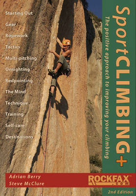
This is the rock climbing instructional book. Until now, instructional books for climbers have taken a largely `negative` approach, concentrating on how to reduce the inherent risks of the sport, and mentioning only in passing the equally important skills required to get to the top. This book represents a watershed in the genre, coming from
The Food Lover`s Companion to Tuscany

The result of a two year labour of love, a readable and comprehensive survey of food in Tuscany. Where to find excellent and unpretentious examples of Italian home cooking and extensive advice on local food markets and suppliers
The C2C Cycle Route – Footprint Map-Guide to the 138 mile Sea to Sea Cycle Route

A footprint map-guide to the 138 mile Sea to Sea Cycle Route between Whitehaven & Workington and Tynemouth & Sunderland.- Britains most popular loing distance route. – New clear mapping, based on OS data,ata a scale of 1:90 000 – Waterproof paper and compact size – Excellent value for money – the ideal map for
The Speyside Way – Newtonmore to Buckie
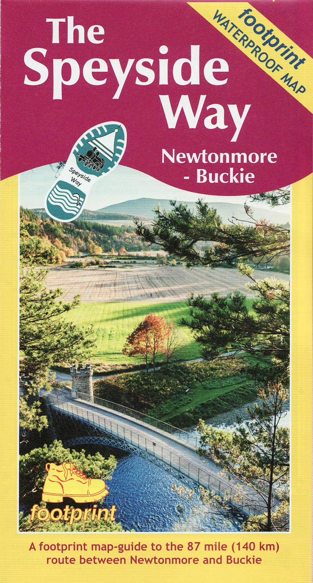
The Speyside Way is one of Scotland`s four long distance footpaths and runs between Newtonmore and Buckie on the Moray Firth passing through some of Scotland`s most beautiful landscapes.This folded strip-map from Footprint is printed on waterproof paper and comes in durable slipcase. It provides compact and concise information for walkers with new maps of
The Fife Coastal Path – Kincardine to Newburgh
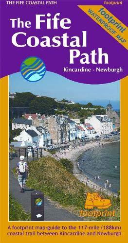
High quality, specially created strip map of this unique 117 mile coastal path from the Kincardine Bridge to Newburgh on the Firth of Tay.This new edition contains maps of the whole route, at 1:40,000 and based on OS data. Compact and concise, the map is printed on waterproof paper and is supplied in a durable
Wight Hazards
Wight Hazards by Peter Bruce, which complements the well-known Solent Hazards, provides a fund of interesting and useful wisdom for those who venture by sea to the enchanting but exposed south side of the Isle of Wight. Accurate and detailed information on the obvious and less obvious dangers is supplied in the form of text
Goodbye Piccadilly: From Home Front to Western Front
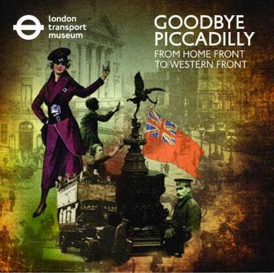
The First World War changed London and Londoners forever. For the drivers who took their buses to the Western Front and for their families and friends left behind it meant facing new challenges at work and a new way of life. This book illustrates how London reacted and dealt with that change looks through its
OLE Bill: London Buses and the First World War
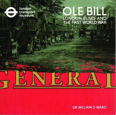
In November every year, on Remembrance Sunday, representatives of the whole nation parade past the Cenotaph in Whitehall, London. The last section to pass is always a group of London Transport staff. For decades they marched in the company of a very special vehicle: a bright red open-topped double-decker London bus. This was B-type bus
Omnibus: A Social History of the London Bus
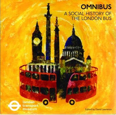
This book is a comprehensive social history of how the London bus has worked in, and for, the capital for the last century and a half. It discusses the design,development and operations of buses in the city and its surrounding countryside and considers how the bus has served Londoners from all over the world and
An Alphabet of T.O.T
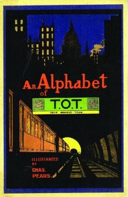
Have fun with reading, using this unusual alphabet first published in 1915. The illustrations, drawn by the well-known artist Charles Pears and inspired by London`s transport, are packed with interesting details designed to appeal to all ages. New readers will enjoy learning their letters while they talk about the colourful pictures. Older children will love
Imagine Moscow: Architecture, Propaganda, Revolution
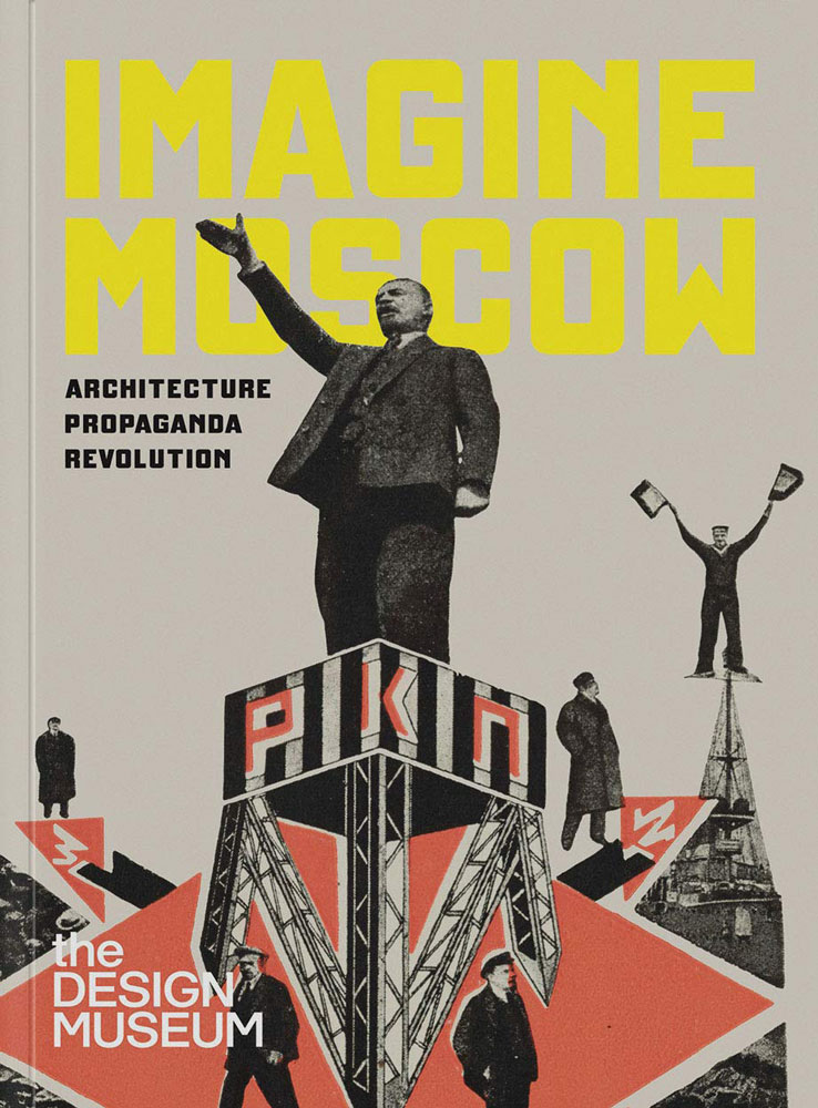
Idealistic visions of the Soviet capital that were never realised.Published at the centenary of the Russian Revolution, `Imagine Moscow: Architecture, Propaganda, Revolution` portrays Moscow as it was envisioned by a bold generation of architects in the 1920s and early 1930s. Through evocative imagery and a wealth of rarely seen material, this book provides a window
Moving to Mars: Design for the Red Planet
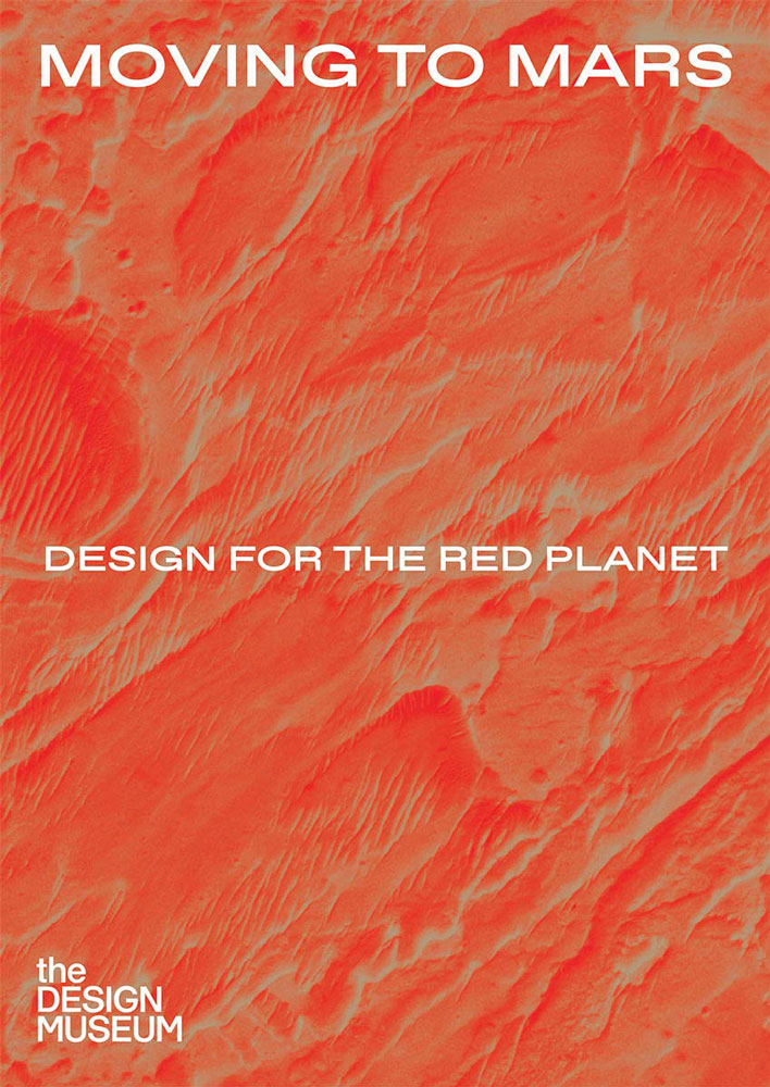
Arrive. Survive. Thrive.Getting humans to Mars has become one of the great challenges of our time. Mars holds the potential of human settlement, and the promise of life after Earth. Some of the world`s greatest entrepreneurs, architects and engineers are dedicated to conquering this next frontier.`Moving to Mars: Design for the Red Planet` is one
The West Highland Way – 95 Mile Route Between Milngavie and Fort William
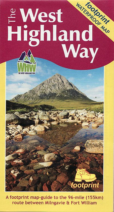
The West Highland Way waterproof map from Footprint is a map-guide to the 95 mile (153km) route between Milngavie and Fort William. The mapping is based on Ordnance Survey data at a scale of 1:40,000, with compact and concise information for walkers.