Category Archives: Travel Guides
Arran
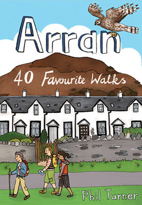
With dramatic mountain ridges towering over the moorland of its northern half, and a lusher, softer landscape in the south, Arran is often dubbed as Scotland in Miniature. The fact is that this is an island with a huge amount to offer packed into small space. The great granite ridges may be lower in stature
Southern Lakes
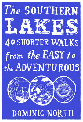
The Lake District is England`s pre-eminent National Park. Nowhere else is the pattern of mountain, wood and water so compactly and harmoniously arranged. Nowhere else is so artfully entwined within a network of paths, and nowhere else so draped in raw beauty. As a place to explore on foot it is unique. In the second
Caithness and Sutherland
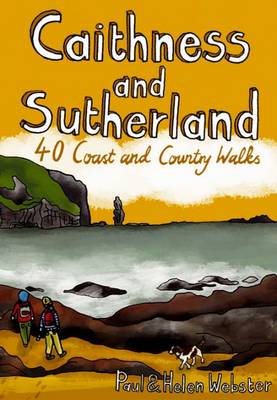
Sutherland and Caithness are the most northerly parts of mainland Britain. Northwest Sutherland is a stunning landscape of perfect sandy beaches and sweeping moorland studded with glittering lochans, overlooked by some of Scotland`s most remarkable mountains, individual peaks each with great character. Caithness, further east, is more fertile and populated but has some fantastic coastal
Mull & Iona: 40 favourite Walks
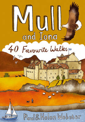
The Isle of Mull is the second largest of the Inner Hebrides. Perhaps best known for the colourful harbour of Tobermory, its capital at the northern end of the island, Mull has become very popular as a holiday destination, most particularly amongst wildlife enthusiasts. This latest publication from “Pocket Mountains” brings together the very best
Moray
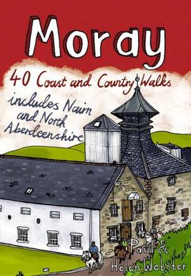
The Moray coastline has a string of superb sandy beaches, and towns such as Buckie, Lossiemouth and Nairn (historically part of Morayshire) have long been popular for family holidays. For the walker there are cliffs, arches and stacks as well as sand and dunes, whilst offshore it may be possible to glimpse the famous Moray
Angus and Dundee
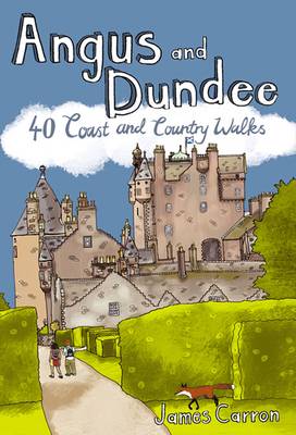
Angus is the historical heartland of Scotland, a county where the past has left an indelible mark on the present. Prehistoric forts, ancient castles and Pictish standing stones dot a rich and varied landscape where bracing coastal hikes, tranquil riverside rambles, sheltered woodland wanders and more challenging hill ascents await the walker. This book features
Aberdeen and Aberdeenshire
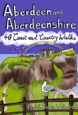
Aberdeenshire has a stunning coastline with vast, spectacular sandy beaches and picturesque fishing villages. Inland is fertile, peaceful farmland rising to the moors and finally the foothills of the Cairngorms. Its beating heart is the thriving city of Aberdeen. We help you find the best walking routes in all parts of Aberdeenshire, from the exciting
The Welsh Marches

The tranquil borderland of the Marches, offers a varied landscape truncated by rivers meandering to lowland plains. Limestone to the west and north of the old red sandstone of the Hereford Plain has given rise to exceptionally attractive hilly country with delightful, narrow valleys. In these 40 walks Ben Giles explores all the best places
Munros
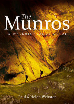
The Munros are mountains in Scotland with a height of over 3000ft and take their name from the first list of such hills published in 1891 by Victorian mountaineer Sir Hugh Munro, 4th Baronet of Lindertis. Revised several times in the years since, most recently in 2012, the official list now features 282 peaks. This
Northumberland: 40 Coast and Country Walks
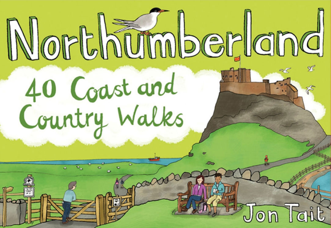
Northumberland is England`s most northern county, a magical place filled with ancient castles, golden sand beaches, rolling hills, rugged moorland and friendly little Northumberland towns and villages. This much-awaited addition to the award-nominated series of easy walking guides is an affordable and practical guide to 40 of the best family walks in the region.
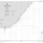
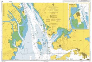
Admiralty Manual Of Seamanship
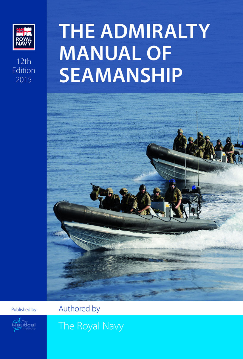
Of great importance to the maritime community, this collaboration between the Royal Navy and The Nautical Institute contains a wealth of experience. The fundamental principles of good seamanship are unchanging, whatever technology is introduced. The book is relevant to merchant and naval training schools andthose in pursuit of STCW qualifications. It is closely aligned with
Navigation Assessments: A Guide to Good Practice
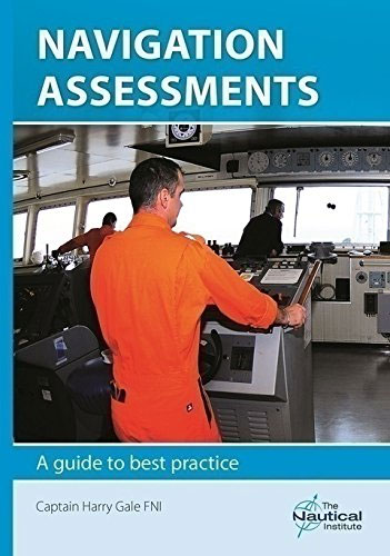
Many maritime incidents could have been prevented by the use of a navigationassessment, which, through careful observation, evaluates how the navigation of a ship is being conducted.An effective assessment should take place over several days and provide practical feedback to the bridge team as well as guidance to shore-based management.This handbook provides a step-by-step guide
Guidelines for Collecting Maritime Evidence & Handbook
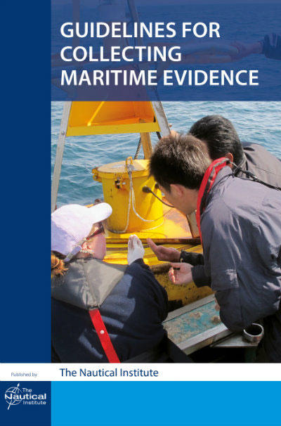
2 volume publiction:Guidelines for Collecting Maritime Evidencethe Mariner`s Role in Collecting Evidence – HandbookGuidelines for Collecting Maritime Evidence aims to provide broad answers to two questions. First, how should a Master react after an incident when several investigating bodies are knocking on the door, all with differing requirements and priorities. Second, how can the Master,
Handling Ships in First-Year Ice
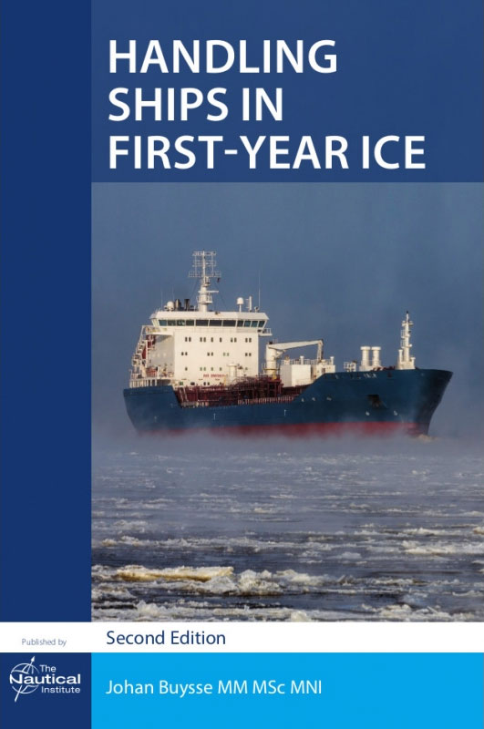
First-year ice remains a major obstacle for commercial traffic, limiting vessel`s speed and manoeuvrability. Ice has the potential to damage propellers, main engines, rudders and hull plating, and creates a greater risk of collision with structures and other vessels.Specialist knowledge and skills are needed to handle ships in first-year ice. This well-illustrated book provides guidance
Polar Ship Operations ‘“ a practical guide
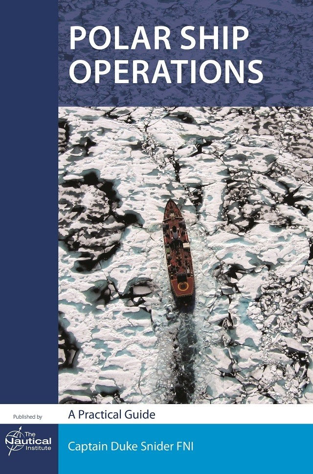
Operating ships within any ice regime requires knowledge, skills and awareness beyond those possessed by most mariners. Written by a respected Arctic shipping expert with extensive operational experience, this book provides practical advice on conditions, awareness and preparations for transits in polar waters.Since the first edition was published in 2012, sea ice loss in the
Admiralty Manual of Navigation Vol 2: Astro Navigation
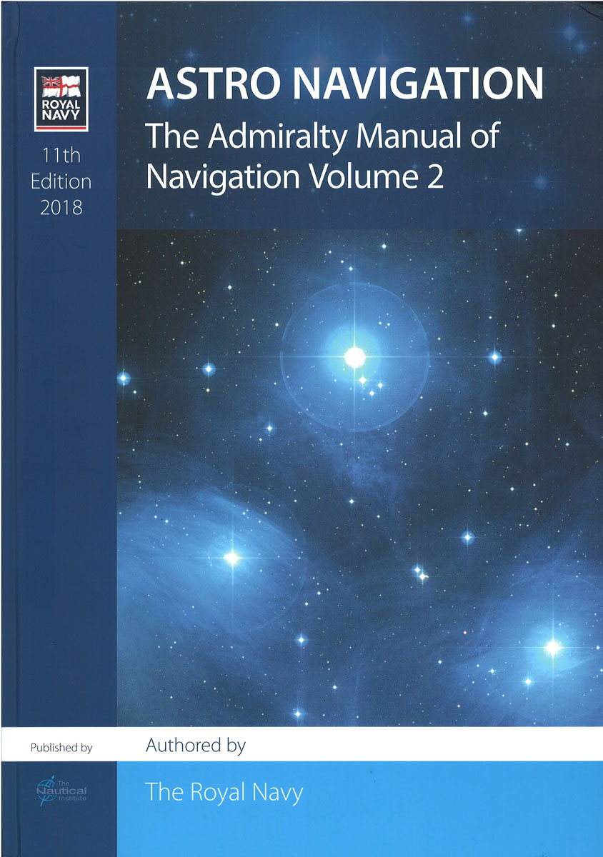
11th edition.Satellite technology enables almost every mariner to use electronic navaids to fix their position on the oceans. However, electronic systems can be disrupted by errors in a satellite or its ground control systems, defects in shipboard equipment or interference with satellite signals. The celestial chart therefore remains the most reliable tool for mariners navigating
Anchor Handling Vessel Safety
Design characteristics and weaknesses in offshore oilfield anchor handling and towing vessels that can lead to damage or even capsizing are examined. The author shares over 30 years of operational experience, detailing how some operations, especially those in deep water, pose particular threats. Preventative actions are outlined and examples of events that AHT Masters could