Category Archives: Travel Guides
Haiti Noir

Haiti had a tragic history and continues to be on of the most destitute places on the planet, especially in the aftermath of the devastating 2010 earthquake. Here, however, editor Edwidge Danticat reveals that even while the subject matter remains dark, the calibre of Haitian writing is of the highest order. Features stories by Edwidge
Copenhagen Noir

Joining Rome, Paris, Istanbul, London and Dublin as European hosts for the Akashic Noir series, `Copenhagen Noir` features brand-new stories from a top-notch crew of Danish writers, with several Swedish and Norwegian writers thrown into the mix. This volume definitively reveals why Scandinavian crime fiction has come to be so popular across the world. Featuring
Pittsburgh Noir

Pittsburgh has recently been called `the most liveable city in America` – yet the old image of smoky skies and steel mills spewing forth grit has never quite disappeared. Its history as a dirty industrial centre is part of its inhabitants – and part of their toughness. The people of the steel city fight. What
San Diego Noir

San Diego is home to miles of beaches, Balboa Park, a world-famous zoo and some of the US`s most expensive homes and resorts. Yet the city also houses a few things that aren`t actively promoted by the visitor`s bureau – a number of America`s most corrupt politicians, border-related crimes, terrorists and the occasional earthquake. A
Come & Gone : A True Story of Blue-Collar Bike Racing in America

After five years of blue-collar cycling in Belgium (A Dog in a Hat), “Come and Gone” sees Joe Parkin return to the United States looking for a ride. He joins the elite Coors Lite road team as a key member, but the adjustment to domestic racing, with small crowds, inexperienced teammates, and poorly promoted events,
Lake Tahoe Basin Trail Map
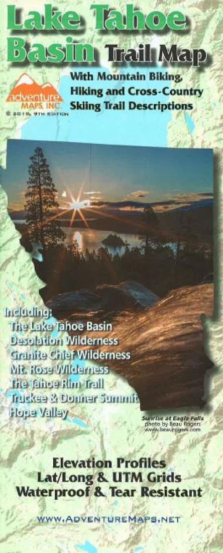
The Lake Tahoe, California Mountain Biking and Hiking Adventure Trail Map is a waterproof, topographic map (lat/long,UTM grids) that includes route descriptions for trails throughout the Lake Tahoe Basin including, Truckee, Donner Summit, Desolation Wilderness, Granite Chief Wilderness, Mt. Rose Wilderness, Hope Valley and The Tahoe Rim Trail. It includes descriptions for 27 of the
The Feed Zone Cookbook (for Athletes)

When Dr. Allen Lim left the lab to work with pro cyclists, he found a peloton weary of food. For years the sport`s elite athletes had been underperforming on bland fare and processed bars and gels. Science held few easy answers for nutrition in the real world, where hungry athletes must buy ingredients; make meals;
Jackson Hole Trail Map
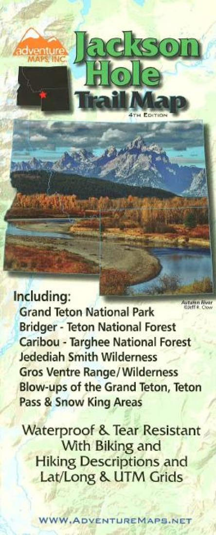
The Jackson Hole, Wyoming Adventure Map is a waterproof, topographic (lat/long,UTM grids) map that includes a route guide and trail map covering trails throughout Jackson Hole and Grand Teton National Park including, Bridger-Teton & Caribou-Targhee National Forests, Jedediah Smith and Gros Ventre Wilderness areas and the Snake River Range. It also includes detailed map and
McCall ID Trail Map
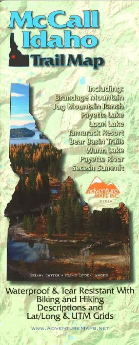
The McCall, Idaho Adventure Map is a waterproof, topographic (lat/long,UTM grids) trail map that includes route descriptions for trails in the McCall area including, Payette Lake, Loon Lake, Tamarack Resort, Bear Basin Trails, Warm Lake, Payette River, Secesh Summit, Brundage Mountain, and Jug Mountain Ranch Trails. It includes descriptions of 22 mountain bike rides, 5
Nairobi Heat

It`s big news when African peace activist Joshua Hakizimana – famous for saving hundreds of people from Rwandan genocide – accepts a position at the University in Madison, Wisconsin. Then a young girl is found murdered on his doorstep. For local police detective Ishmael – an African American in a white town, it seems like
St. George – Hurricane & Zion NP UT Trail Map & Guide
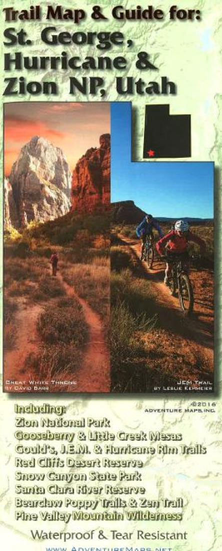
The St George/Springdale Adventure Map is a waterproof, topographic map (lat/long,UTM grids) that includes route descriptions for trails throughout the St. George and Springdale area including, Gooseberry Mesa, Little Creek Mesa, Gould`s Rim, J.E.M., Hurricane Rim Trails, Red Cliffs Desert Reserve, Santa Clara River Reserve, Bear Claw Poppy & Zen Trails, Snow Canyon State Park,
Hood River OR Trail Map
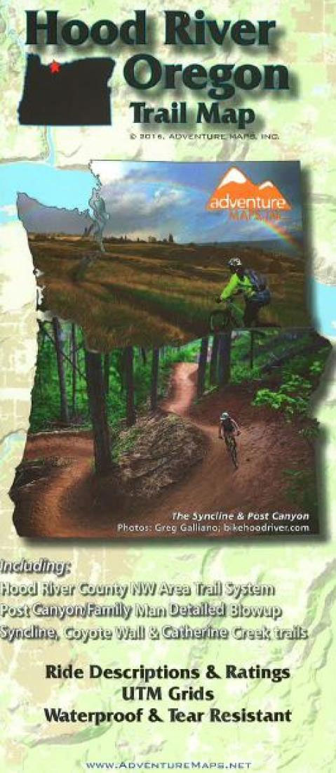
The Hood River, Oregon Adventure Map is a waterproof, topographic map (lat/long,UTM grids) that includes route descriptions for the Hood River area including Syncline, Catherine Creek & Post Canyon, Surveyor`s Ridge & Dog River Trails, Knebal Springs & High Prairie, Eight & Fifteen Mile Creek Trails, Gunsight Ridge/Bonnie Meadows, Lewis River/Mount St. Helens, Falls Creek,
Bend OR Trail Map
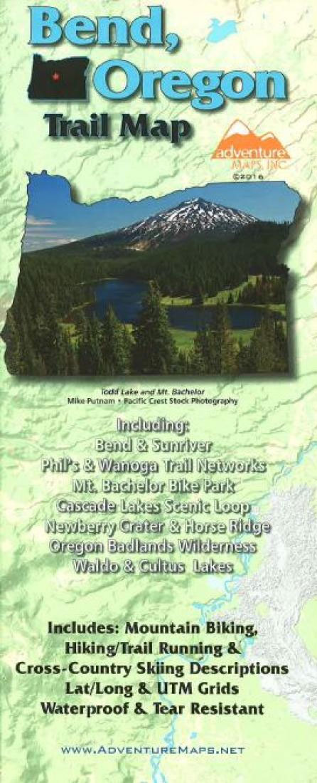
The Bend Oregon Adventure Map is a waterproof, topographic map (lat/long,UTM grids) that includes route descriptions covering the Bend area including, Sunriver, Phil`s Trail Network, Cascade Lakes Scenic Loop, Newberry Crater & Horse Ridge, Oregon Badlands Wilderness, Waldo and Cultus Lakes, and the new Wanoga Trails. It includes 26 of the best mountain biking ride
Salt Lake City – Park City and the Wasatch Trail Map
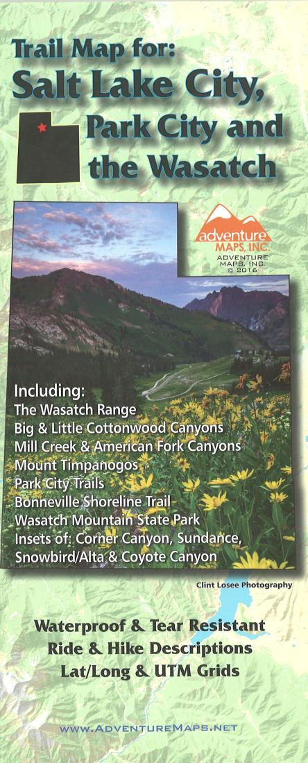
The Salt Lake City, Park City, and the Wasatch Adventure Map (2016 edition) is a waterproof, topographic map (lat/long,UTM grids) that includes route descriptions throughout trails the Wasatch Range including, Mill Creek Canyon, Big & Little Cottonwood Canyons, American Fork Canyon, Mount Timpanogos, Park City, Bonneville Shoreline Trail, Wasatch Mountain State Park. The map includes
Sisters & Redmond High Desert Trail Map
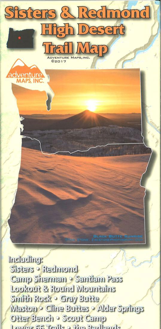
The Sisters & Redmond High Desert Adventure Map from Adventure Maps, Inc. is a waterproof, topographic (lat/long,UTM grids) trail map that includes hiking and mountain bike route descriptions covering the areas of Sisters and Redmond as well as The Mckenzie River Trail, Camp Sherman, Santiam Pass, Lookout Mountain, Round Mountain, Smith Rock, Gray Butte, Maston,
Oakridge OR Trail Map
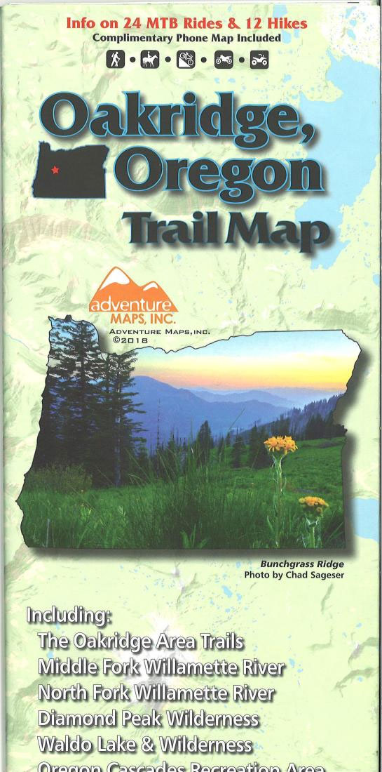
The Oakridge, Oregon trail map from Adventure Maps, Inc. is a waterproof, topographic map that includes route descriptions for trails in the Oakridge area including the Middle & North Forks of the Williamette River, Diamond Peak Wilderness, Waldo Lake & Wilderness, Oregon Cascades Recreation Area, Bunchgrass Ridge, and Williamette Pass.This map includes detailed route descriptions
Sun Valley ID Trail Map
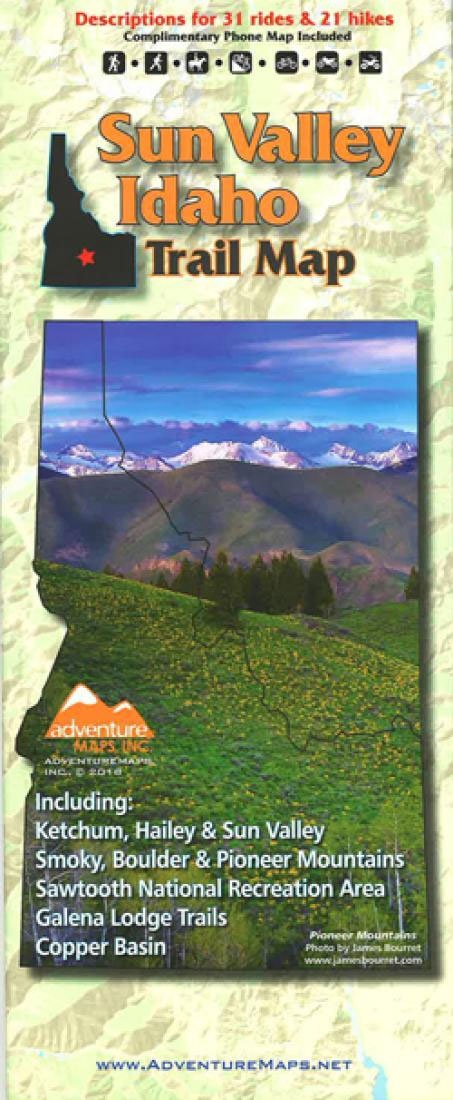
A waterproof, topographic (lat/long,UTM grids) map that includes covers trails throughout Ketchum, Hailey, the Smoky, Boulder and Pioneer Mountains and the Sawtooth Recreation Area. It includes detailed descriptions for 24 of the area`s best mountain bike rides, 7 road bike rides, and 20 hikes. Insets include: Ketchum and Galena.


