Category Archives: Travel Guides
Canary Islands: Fuerteventura and Lanzarote – Spain: Vol. 1

This new title in the Crossbill Guides Series covers Lanzarote and Fuerteventura, the two easternmost Canary Islands. Lanzarote and Fuerteventura only recently became known to the general public as a winter destination for sun seekers. However, these islands, with their odd mix of Volcanic and Saharan-style desert landscapes, support a wonderful flora and fauna –
Heuvelland NGI Topo 28/5-6 – WWI Ypres Salient Battlefields

Heuvelland – Mesen (Messines), map No. 28/5-6 in the topographic survey of Belgium at 1:20,000 covering the World War I battlefields area between St-Elooi and Ploegsteert, including Wijtschate. Please note that areas on the French side of the border, around Bailleul and St-Jans-Cappel in the west and across the Lys in the south-eastern corner, are
Le Bizet NGI Topo 36/1-2
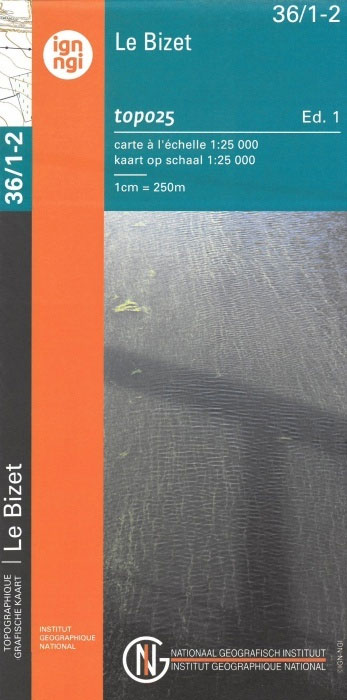
De Seule – Le Bizet, map No. 36/1-2 in the topographic survey of Belgium at 1:20,000 covering the southernmost tip of the Ypres Salient battlefields of World War I. Only a small part of this map covers Belgium – the area south of Ploegsteert – French side of the border is shown with topographic information
Ieper NGI Topo 27-28-36 – WWI Ypres Salient Battlefields
Ieper, map No. 27-28-36 in the topographic survey of Belgium at 1:50,000 covering the bulk of the Ypres Salient battleground of World War I. Coverage extends from the French border northwards to Passendale (Passchendaele) which is right at the top of the map, and includes Ploegstreet, Mesen (Messines), Zillebeke, Zonnebeke, Wijtschate (Wytschaete), etc. Map legend
Bedtime For Rita Rabbit

Detailed photos and full-color maps help take readers on a fascinating visual journey through Europe! This book`s appealing format highlights the facts about the human and physical geography of the continent. Readers will put their analytical skills to use to interpret different types of maps as sources of information, from physical maps that show the
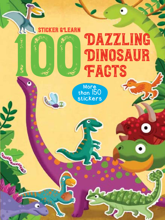
100 Fun Facts to Sticker: Dazzling Dinosaur facts
Lo-Reninge NGI Topo 20/5-6 – WWI Ypres Salient Battlefields
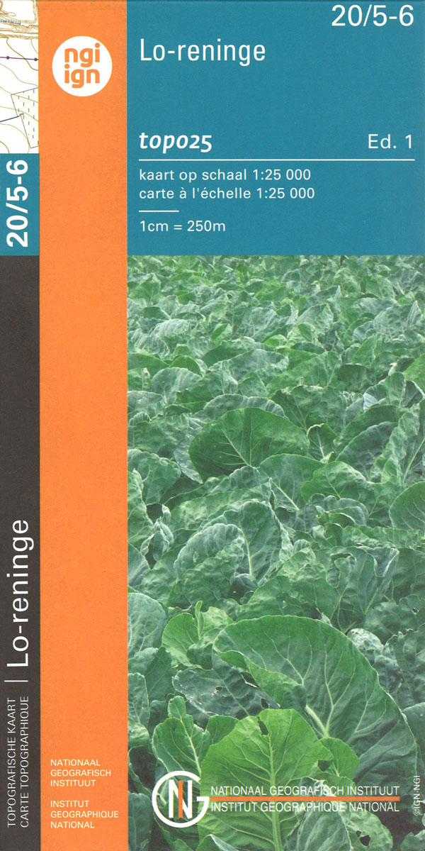
Lo-Reninge – Langemark, map No. 20/5-6 in the topographic survey of Belgium at 1:20,000 covering the central part of the Ypres Salient battlefields of World War I. With Langemark, Bikschote and Steenstraat towards the southern edge of the map, this title covers the northernmost part of the Ypres Salient area.Although not specifically designed to highlight
100 Fun Facts to Sticker: Amazing Animal Facts
Discover 100 fun, interesting and often surprising facts about animals in these jam-packed sticker books.Each book contains 6 pages of stickers that match up with he facts or can be added to your own liking.Learning becomes an extra fun activity!
Roeselare NGI Topo 19-20 – WWI Ypres Salient Battlefields
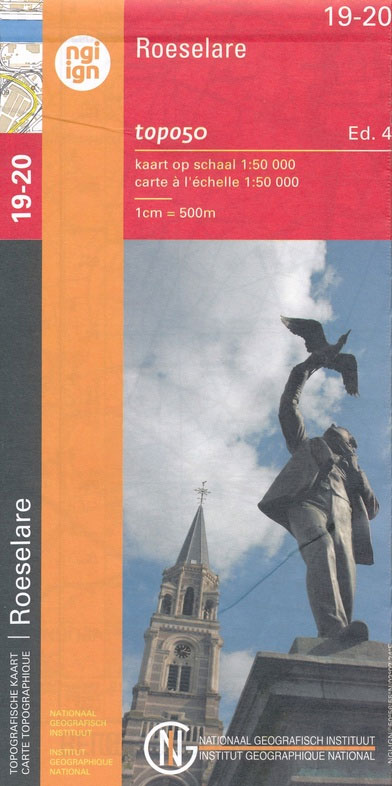
Roeselare, map No. 19-20 in the topographic survey of Belgium at 1:50,000 covering the northern sector of the Ypres Salient battleground of World War I, north of the Paschendaele/Passendale ‘“ Boezinge line, including Steenstraat. Map legend includes English.Although not specifically designed to highlight locations connected with WWI, the map contains all the information expected of
100 Fun Facts to Sticker: Top-Notch Transport Facts
Discover 100 fun, interesting and often surprising facts about vehicles in these jam-packed sticker books.Each book contains 6 pages of stickers that match up with he facts or can be added to your own liking.Learning becomes an extra fun activity!
Ieper NGI Topo 28/1-2 – WWI Ypres Salient Battlefields
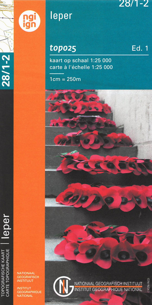
Poperinge – Ieper, map No. 28/1-2 in the topographic survey of Belgium at 1:20,000 covering the central part of the Ypres Salient battlefields of World War I. Coverage extends west to the Hooge Crater Cemetery, north to Boezinge, and south to Voormezele, and includes Zillebeke and St-Juliaan. Although not specifically designed to highlight locations connected


