Category Archives: Travel Guides
Canary Islands: Fuerteventura and Lanzarote – Spain: Vol. 1

This new title in the Crossbill Guides Series covers Lanzarote and Fuerteventura, the two easternmost Canary Islands. Lanzarote and Fuerteventura only recently became known to the general public as a winter destination for sun seekers. However, these islands, with their odd mix of Volcanic and Saharan-style desert landscapes, support a wonderful flora and fauna –
Finnish Lapland: Including Kuusamo

This guidebook describes the nature and wildlife of Finnish Lapland, one of the last great wildernesses of Europe. Huge expanses of silent coniferous forests, impenetrable bogs and vast open fells comprise the awe-inspiring landscape of Lapland. This new book is fully revised and updated and covers the Finnish part of Lapland, including the wildlife-rich region
Extremadura: Spain
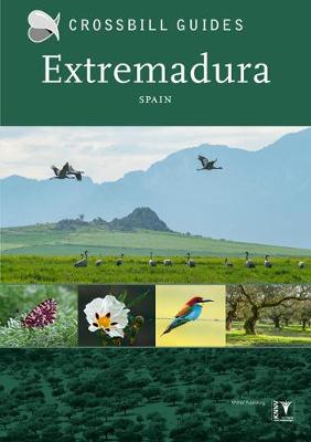
The wealth of birds and the splendid scenery has given Extremadura the status of a natural paradise. The rugged mountains, steppes and Mediterranean woodlands of this once unknown backwater in western Spain, are now one of the most appreciated destinations for wildlife enthusiasts. With this guide you will discover why. The Crossbill Guide to Extremadura
Campsite Guide + APP 2019

An indispensable travel guide for camping enthusiasts! Not only does it describe the loveliest campsites in Great Britain, Ireland, France, Spain and Portugal, the guide is full of tourist information about all these wonderful destinations. It really is a guide to find your perfect overnight spot while still at home or on the road. Choose
CampingCard ACSI 2021 – 20 countries

The 2018 ACSI Camping Card is an off-season discount camping scheme which runs from 1st January 2018 to 31st December 2018, usually excluding the last 2 weeks of July and all of August. It is a set of two books: Part 1 and Part 2, which cover 21 countries across Europe. The discount card comes
Helsinki Karhusaari Porkkala Water Touring Map

Karttakeskus’ Water touring maps are a completely new type of map series. The pre-folded maps made of waterproof and rip-proof material can fit into a small space on the boat, but when opened, they cover a wide area. In this way, the water touring map is e.g. an excellent planning tool alongside electronic navigation solutions,
Hiking in Finland – Day Trips and Backpacking Expeditions
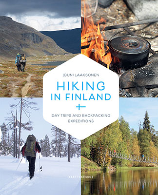
Finland is an outstandingly good destination for a nature tourist, and this book tells you everything you need to know about hiking there. It is also meant for you who have immigrated to Finland and would like to visit the great outdoors.The versatile landscapes, with vast forests, thousands of lakes, magnificent islands, and the stark
Helsinki
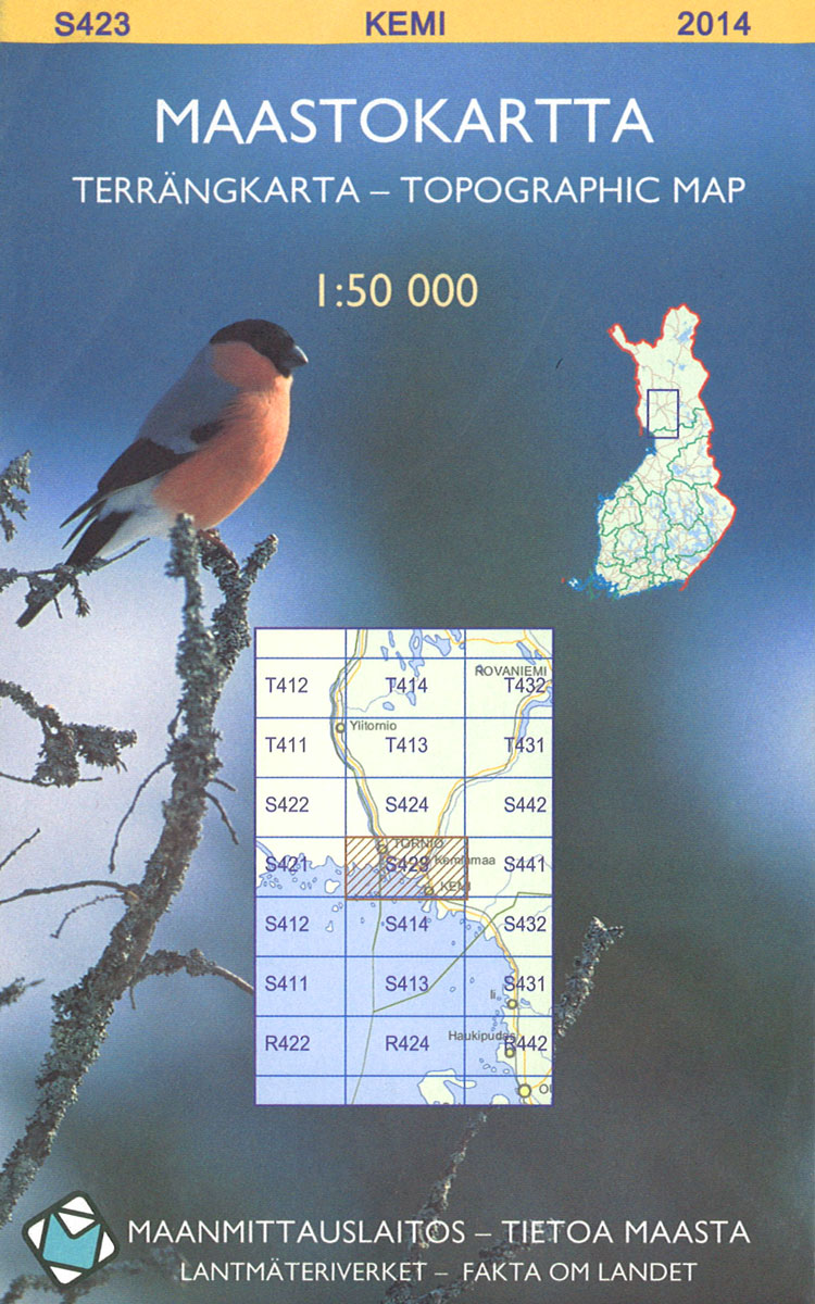
The 1:50 000 topographic map gives a more general picture of the ground features than a basic map. It shows settlements, houses, roads, cultivated areas, waterways, cutting areas, mires, rock exposures, and relief. One map sheet covers an area of 30 x 40 km and one centimetre corresponds to 500 metres on the ground.The 1:50,000
World Rail Atlas and Historical Summary: Vol. 8 The Middle East and Caucasus

The “World Rail Atlas and historical summary of the Middle East and Caucasus” is the first such publication in an emerging series that will cover all parts of Europe, Africa, Asia, Australasia and the Americas. This volume is the eighth in a series of 20, released as such due to the availability of material. It
Transrhodopi – Long distance hiking and biking trail From Trigrad to Ivaylovgrad

Western Rhodope Mountains at 1:100,000 on a contoured GPS compatible map from Domino extending from just west of the Pirin National Park to Asenovgrad in the north-east. The map is double-sided with a good overlap between the sides. Topography is shown by contours at 50m intervals with relief shading and spot heights, plus colouring for
Western Rhodope Mountains Domino Map
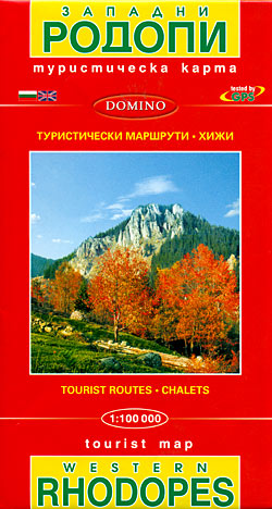
Western Rhodope Mountains at 1:100,000 on a contoured GPS compatible map from Domino extending from just west of the Pirin National Park to Asenovgrad in the north-east. The map is double-sided with a good overlap between the sides. Topography is shown by contours at 50m intervals with relief shading and spot heights, plus colouring for
World Rail Atlas and Historical Summary: Vol. 7 North, East and Central Africa

The “World Rail Atlas and historical summary of the Middle East and Caucasus” is the first such publication in an emerging series that will cover all parts of Europe, Africa, Asia, Australasia and the Americas. This volume is the eighth in a series of 20, released as such due to the availability of material. It