Category Archives: Travel Guides
Pays du Lรฉon ร pied FFRP Topo-guide No. P296
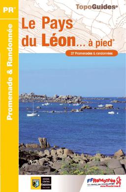
Pays du Lรฉon ร pied, FFRP topo-guide Ref. No. P296, with 37 walks in northern Brittany west of Morlaix. Each walk is presented on a separate colour extract from IGN’s topographic survey of France at 1:25,000 with its description cross-referenced to the map. Current edition of this title was published in April 2011.To see the
GRP: Monts et Lacs du Lรฉvรฉzou FFRP Topo-guide No. 1201
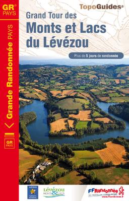
Monts et Lacs du Lรฉvรฉzou, FFRP topo-guide ref. no. 1201, covering two hiking circuits in the Massif Central near Rodez and Millau; in all 214kms of routes. Current edition of this title was published in March 2011.ABOUT THE FFRP (Fรฉdรฉration franรงaise de la randonnรฉe pรฉdestre) TOPOGUIDES: published in a handy A5 paperback format, the guides
Randonnรฉes en Franche-Comtรฉ de gare en gare FFRP Topo-guide No. RE18
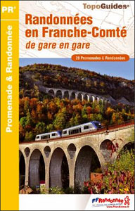
Randonnรฉes en Franche-Comtรฉ de gare en gare, FFRP topo-guide Ref. No. RE18, with 28 day walks of varying length and difficulty in the French Jura between Belfort and St-Claude. Each walk links two SNCF stations and is presented on a separate colour extract from IGN’s topographic survey of France at 1:25,000, with its description cross-referenced
GR22: Chemin vers le Mont-Saint-Michel, Paris – Alenรงon – Mont St Michel FFRP Topo-guide No. 220
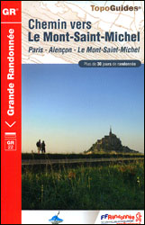
Chemin vers le Mont-Saint-Michel: Paris – Alenรงon – Mont St Michel, FFRP topo-guide Ref. no. 220 covering a 549-km route along the GR22 starting at the Notre Dame Cathedral, with an alternative variant through Argentan. The guide is one of the titles from an extensive series of light, high quality, A5 paperback guides to the
GR93/GR94 Tours dans les Hautes-Alpes FFRP Topo-guide No. 940
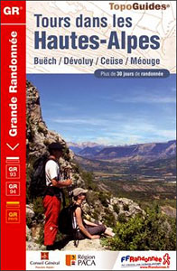
Tours dans les Hautes-Alpes, FFRP topoguide Ref. no. 940, covering 691km of hiking routes along the GR93 and GR94 in the French Alps west of Gap. The routes can be combined, as required, into shorter or longer circuits. Current edition of this title was published in June 2012.ABOUT THE FFRP (Fรฉdรฉration franรงaise de la randonnรฉe
GRP: Ariรจge-Pyrรฉnรฉes ‘“ Andorre – Catalogne FFRP Topo-guide No. 1098
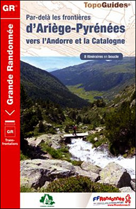
Par-delร les frontiers d’Ariรจge-Pyrรฉnรฉes vers Andorre et la Catalogne, FFRP topoguide Ref. no. 1098, covering 384kms of trails in eight cross-border circuits in the Pyrenees between 36kms and 72kms long. The routes include a 70kms tour in the footsteps of Charlemagne, a 44kms Three Nations circuit, etc. Current edition of this title was published in
La Marne ร pied FFRP Topo-guide No. D051
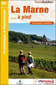
La Marne ร pied, FFRP topo-guide Ref. No. D051, with 38 day walks of varying length and difficulty in the department, including in the Montagne de Reims and walks connected with the Meuse-Argonne offensive in the final months of WWI. Each walk is presented on a separate colour extract from IGN’s topographic survey of France
Les Deux-Sรจvres ร pied FFRP Topo-guide No. D079
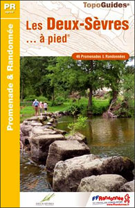
Les Deux-Sรจvres ร pied, FFRP topo-guide Ref. No. D079, with 46 day walks of varying length and difficulty in the department of Les Deux-Sรจvres. The guide offers an opportunity to discover the most emblematic areas of the department: the Marais Poitevin and the ‘Green Venice’, the Gร: tine, the Thouet Valley, and the Route des
GRP Robe de Bure et Cotte de Mailles FFRP Topo-guide No. 4303
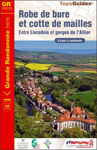
Robe de Bure et Cotte de Mailles, FFRP topoguide Ref. no. 4303, a 163km circuit in the Haute-Loire area of the Massif Central between Le-Puy-en-Velay and Brioude. Current edition of this title was published in September 2012.ABOUT THE FFRP (Fรฉdรฉration franรงaise de la randonnรฉe pรฉdestre) TOPOGUIDES: published in a handy A5 paperback format, the guides
Sentiers de Saint-Jacques-de-Compostelle – Via Le Puy – Geneve – Le Puy GR65
Chemins de St-Jacques: Geneva – Le Puy-en-Velay, FFRP topoguide Ref. No. 650, covering a 360km section of the GR65 along one of the routes of the Way of St. James across France. Current edition of this title was published in March 2016.ABOUT THE FFRP (Fรฉdรฉration franรงaise de la randonnรฉe pรฉdestre) TOPOGUIDES: published in a handy
Lot-et-Garonne ร pied FFRP Topo-guide No. D047
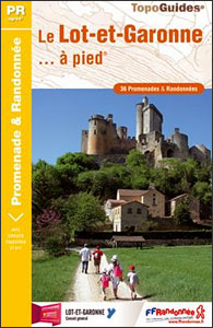
Lot-et-Garonne ร pied, FFRP topo-guide Ref. No.D047, with 36 day walks of varying length and difficulty in the department of Lot-et-Garonne, near Agen and the confluence of the two rivers, the Lot and the Garonne. Each walk is presented on a separate colour extract from IGN’s topographic survey of France at 1:25,000, with its description
Le Pays du Haut-Lignon ร pied FFRP Topo-guide No. P432
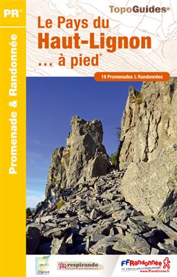
Le Pays du Haut-Lignon ร pied, FFRP topo-guide Ref. No. P432, with 19 day walks of varying length and difficulty in the hills between Yssingeaux and Chambon-sur-Lignon. Each walk is presented on a separate colour extract from IGN’s topographic survey of France at 1:25,000, with its description cross-referenced to the map. Current edition of this
GR6/61/62/63/66/67: Grande Traversee du Gard, Mont Aigoual – Avignon FFRP Topo-guide No. 603
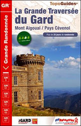
Grande Traversรฉe du Gard: Mont Aigoual – Avignon, FFRP topoguide, Ref. No. 603, covering ten GR routes in the Cevennes and in the department of Gard: GR6 from Beaucaire to Meyrueis (164.5km), GR63 from Avignon to Col de la Lusette (142.5km), GR67 ‘“ a 120.5km circuit from Anduze, GR66 ‘“ an 81km tour of Mont
Giant Paper Toys Dinosaurs

Description: With 10 Giant Dinosaurs Paper toys to build and a 3-D set to play with, get ready for hours of dinosaur fun.
The Most Beautiful Ballets (Paper Theatre)

In this amazing series of papercuts, each spread is illustrated like a theatre scene in 3D!An exquisite sound book that will enchant readers of every age. Push the button on each scene to hear the vivid sound of an orchestra (includes: `Swan Lake`, `The Nutcracker`, and `Sleeping Beauty`!)
Le Haut Bugey ร pied FFRP Topo-guide No. P011

Le Haut Bugey ร pied, FFRP topo-guide Ref. No. P011, with 24 day walks of varying length and difficulty in the French Jura. Current edition of this title was published in April 2007.To see the list of other FFRP guides with day walks please click on the series link.ABOUT THE FFRP (Fรฉdรฉration franรงaise de la
GR46/GRP: Au pays du George Sand FFRP Topo-guide No. 361
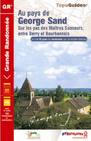
GR46/GRP: Au pays du George Sand, FFRP topo-guide ref. no. 361, one of the titles from an extensive series of light, high quality, A5 paperback guides to the Sentiers de Grande Randonnรฉe, the GR routes, a dense network of long-distance footpaths across the French countryside. Each topo-guide covers either a circular route, or part of
Le Nord ร pied FFRP Topo-guide No. D059

Le Nord ร pied, FFRP Topo-guide Ref. No. D059, with 41 day walks of varying length and difficulty in the department Le Nord, stretching along the Belgian border from the coast near Dunkerque, past Lille and Valenciennes, to Cambrai and Avesnes-sur-Helpe. Current edition of this title was published in November 2009.To see the list of
Le Pays de l`Emblavez ร pied FFRP Topo-guide No. P433
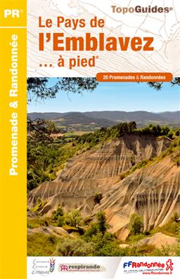
Le Pays de l`Emblavez ร pied, FFRP topo-guide Ref. No. P433, with 20 day walks of varying length and difficulty in the hills north of Le Puy-en-Velay. Each walk is presented on a separate colour extract from IGN’s topographic survey of France at 1:25,000, with its description cross-referenced to the map. Current edition of this
Le Centre: Val de Loire ร pied FFRP Topo-guide No. RE11

Le Centre: Val de Loire ร pied, FFRP topo-guide ref. no. RE08, one of the titles in an extensive series of light, A5-size, high quality paperback guides published by the Fรฉdรฉration Franรงaise de la Randonnรฉe Pรฉdestre in association with local authorities, ramblers’ clubs, etc. The guides have *colour extracts from the French topographic survey at