Category Archives: Travel Guides
La Charente ร pied
La Charente ร pied, FFRP topo-guide Ref. No. D016, with 43 day walks in the department. Each day walk is presented on a separate colour extract from IGN’s topographic survey of France at 1:25,000, with its description cross-referenced to the map. Current edition of this title was published in August 2011.To see the list of
La Vienne ร pied
La Vienne ร pied, FFRP topo-guide Ref. No. D086, with 36 day walks of varying length and difficulty in the department of Vienne around Poitiers. Current edition of this title was published in August 2008.To see the list of other FFRP guides with day walks please click on the series link.ABOUT THE FFRP (Fรฉdรฉration franรงaise
Le Queyras et le Guillestrois ร pied
The Queyras and the Guillestrois on footExplore the Queyras Regional Natural Park to discover the richness of its fauna and flora.The Guillestrois also awaits you with its many assets: villages of character with an important heritage, rich and preserved natural environment, Vauban site classified UNESCO ‘ฆAlps (France)
Terra Salina ร pied FFRP Topo-guide No. RE21
Terra Salina ร pied, FFRP topo-guide Ref. No. RE21, with 20 day walks in the French and Swiss Jura Mountains, plus a 90km section of the historical Via Salina route linking several old salt works and mines. Each day walk is presented on a separate colour extract from IGN’s topographic survey of France at 1:25,000,
Le Pays de Rennes ร pied
Le Pays de Rennes ร pied, FFRP topo-guide Ref. No. P352, with 50 walks of varying length and difficulty around Rennes. There are walks along the rivers Ille, Seiche and Vilaine and the Canal d`Ille et Rance, and two itineraries explore Rennes itself. Each walk is presented on a separate colour extract from IGN’s topographic
Gorges, Lacs et Plateaux du Verdon ร pied FFRP Topo-guide No. P042

Gorges, Lacs et Plateaux du Verdon ร pied, FFRP topo-guide Ref. No.P042, with 20 day walks of varying length and difficulty in the area around and north of the Verdon, including the famous Martel trail which descends to the bottom of the Grand Canyon, walks near Moustiers-Sainte-Marie, Lac de Ste-Croix, Castellane, etc. Each walk is
Les Gorges de la Loire ร pied
Les Gorges de la Loire ร pied, FFRP topo-guide Ref. No.P425, with 15 day walks of varying length and difficulty east of St-Etienne. The guide also includes a 28km long circuit along both banks of the river. Each walk is presented on a separate colour extract from IGN’s topographic survey of France at 1:25,000, with
Le Parc d`Armorique ร pied FFRP Topo-guide No. PN12
Le Parc d`Armorique ร pied, FFRP topo-guide Ref. No. PN12, with 43 day walks of varying length and difficulty in western Brittany. Current edition of this title was published in March 2016.To see the list of other FFRP guides with day walks please click on the series link.ABOUT THE FFRP (Fรฉdรฉration franรงaise de la randonnรฉe
GR3: Les Monts du Forez FFRP Topo-guide No. 334
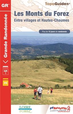
Les Monts du Forez, FFRP topoguide Ref. No. 334, covering in all 259kms along the GR3 and its variant, with additional descriptions of 21 day walks in the region. Current edition of this title was published in April 2016.ABOUT THE FFRP (Fรฉdรฉration franรงaise de la randonnรฉe pรฉdestre) TOPOGUIDES: published in a handy A5 paperback format,
Le Pays des Sucs et del la Loire au Meygal ร pied P438
Le Pays des Sucs et du Meygal ร pied, FFRP topo-guide Ref. No. P438, with 26 day walks of varying length and difficulty in the area west and north-west of Le-Puy-en-Velay. Each walk is presented on a separate colour extract from IGN’s topographic survey of France at 1:25,000 or 1:50,000, with its description cross-referenced to
Le Pays du Ventoux ร pied FFRP Topo-guide No. P841
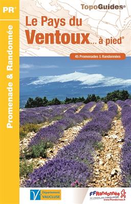
Le Pays du Ventoux ร pied, FFRP topo-guide Ref. No. P841, with 45 day walks in the environs of Mont Ventoux, north-east and east of Carpentras. Each day walk is presented on a separate colour extract from IGN’s topographic survey of France at 1:25,000, with its description cross-referenced to the map. Current edition of this
GRP: Tours et Ronde du Canigรณ FFRP Topo-guide No. 6600
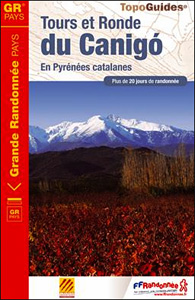
Tours et Ronde du Canigรณ, FFRP topoguide Ref. no. 6600, covering 395kms of routes in the eastern Pyrenees, including a tour of Canigou itself and sections of the GR10. Current edition of this title was published in June 2015.ABOUT THE FFRP (Fรฉdรฉration franรงaise de la randonnรฉe pรฉdestre) TOPOGUIDES: published in a handy A5 paperback format,
Le Haut Pays du Velay ร pied FFRP Topo-guide No. P436
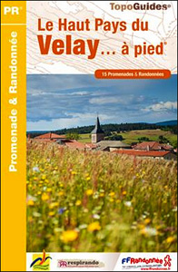
Le Haut Pays du Velay ร pied, FFRP topo-guide Ref. No. P436, with 15 day walks of varying length and difficulty. Each walk is presented on a separate colour extract from IGN’s topographic survey of France at 1:25,000, with its description cross-referenced to the map. Current edition of this title was published in June 2015.To
La Cรดte Picarde ร pied FFRP Topo-guide No. P804
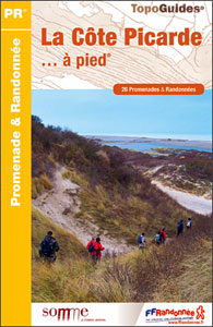
La Cรดte Picarde ร pied, FFRP topo-guide Ref. No.P804, with 26 day walks of varying length and difficulty in the area around Amiens and the estuary of the Somme. Each walk is presented on a separate colour extract from IGN’s topographic survey of France at 1:25,000, with its description cross-referenced to the map. Current edition
Marais du Cotentin et du Bessin PNR ร pied FFRP Topo-guide No. PN20
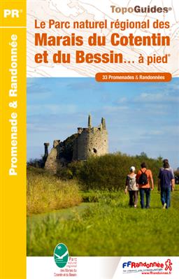
Marais du Cotentin et du Bessin Parc Naturel Rรฉgional ร pied, FFRP topo-guide Ref. No. PN20, with 33 day walks of varying length and difficulty in the southern part of the Cotentin Peninsula, including a walk along the Utah Beach of the 1944 D-Day Landings. Each day walk is presented on a separate colour extract
Le parc naturel rรฉgional Normandie Maine ร pied FFRP Topo-guide No. PN21
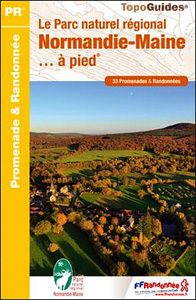
Le parc naturel rรฉgional Normandie Maine ร pied, FFRP topo-guide Ref. No. PN21, with 33 day walks of varying length and difficulty in the park. Each walk is presented on a separate colour extract from IGN’s topographic survey of France at 1:25,000, with its description cross-referenced to the map. Current edition of this title was
GR de Pays: Tours en Hautes Terres d`Oc FFRP Topo-guide No. 811
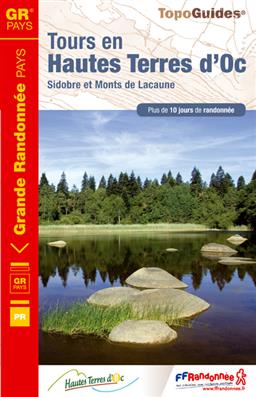
Tours en Hautes Terres d`Oc, FFRP topoguide Ref. No. 811, covering a 230km circular route in the Parc Naturel Rรฉgional du Haut-Languedoc, with additional descriptions of 14 day walks in the region. Current edition of this title was published in July 2015.ABOUT THE FFRP (Fรฉdรฉration franรงaise de la randonnรฉe pรฉdestre) TOPOGUIDES: published in a handy
Les Portes de Bretagne ร pied FFRP Topo-guide No. 355

Les Portes de Bretagne ร pied, FFRP topo-guide Ref. No. P355, with 43 walks of varying length and difficulty in the department of ‘Ille-et-Vilaine east of Rennes. Current edition of this title was published in August 2014.To see the list of other FFRP guides with day walks please click on the series link.ABOUT THE FFRP