Category Archives: Travel Guides
Les Pyrรฉnรฉes Orientales ร pied D066
Les Pyrรฉnรฉes Orientales ร pied, FFRP topo-guide Ref. No. D066, with 25 day walks of varying length and difficulty in the department of Pyrรฉnรฉes Orientales on the Mediterranean end of the mountain chain. Each walk is presented on a separate colour extract from IGN’s topographic survey of France at 1:25,000, with its description cross-referenced to
La Provence Verte ร pied P834
La Provence Verte ร pied, FFRP topo-guide Ref. No. P834, with 27 day walks of varying length and difficulty in the area around Brignoles. Each walk is presented on a separate colour extract from IGN’s topographic survey of France at 1:25,000, with its description cross-referenced to the map. Current edition of this title was published
Le PNR du Haute-Jura ร pied PN15
Le Parc du Haute-Jura ร pied, FFRP topo-guide Ref. No. PN15, with 41 day walks of varying length and difficulty in the French Jura, plus several two- to seven-days long tours including a section of GR9. Each day walk is presented on a separate colour extract from IGN’s topographic survey of France at 1:25,000, with
Le Grand Tourmalet – Pic du Midi a pied – Bagniรจres-de-Bigorre – Vallรฉe de Campan
Le Grand Tourmalet et ses vallรฉes ร pied, FFRP topo-guide Ref. No. ST08, with 24 day walks of varying length and difficulty in the French Pyrenees, around and south of Bagnรจres-de-Bigorre. Each walk is presented on a separate colour extract from IGN’s topographic survey of France at 1:25,000, with its description cross-referenced to the map.
Le Parc national du Mercantour ร pied PN18
L`Aveyron ร pied, FFRP topo-guide Ref. No.D012, with 50 day walks of varying length and difficulty throughout the department of Ayveron. Each walk is presented on a separate colour extract from IGN’s topographic survey of France at 1:25,000, with its description cross-referenced to the map. Current edition of this title was published in February 2015.To
L’ile de la Reunion GRs R1/R2/R3
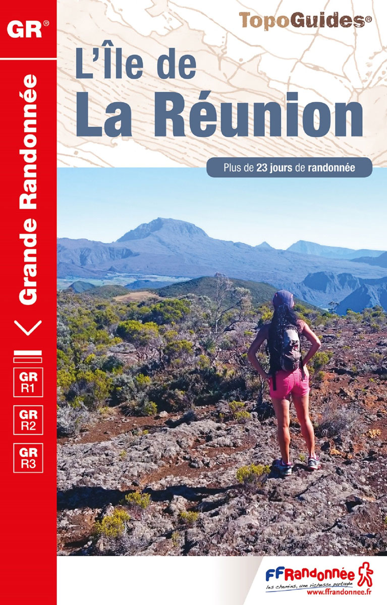
L’รฎle de L Rรฉunion. a French language topoguide from the Fรฉdรฉration Franรงaise de la Randonnรฉe Pรฉdestre as part of their extensive series of similar walking guides to France and its overseas departments. The guide covers three long-distance footpaths: GR R1 – Tour du Piton des Neiges, GR R2 from Basse-Vallรฉe to St Denis crossing the
Quartiers & histoires de Paris ร pied – 12 itinnรฉraires
Quartiers et histoires de Paris ร pied, FFRP topo-guide Ref. No. VI14, with 12 walks across Paris highlighting various aspects of the city’s history and architecture. The routes, each around 7.5km / 4.7 miles long, are part of the Panamรฉes scheme of free guided walks held every third Thursday of the month and organized by
Villes, Parcs et Forรชts des Hauts-de-Seine ร pied VI92
Villes, parcs et forรชts des Hauts-de-Seine ร pied, FFRP topo-guide Ref. No. VI92, with 25 walks in the western and south-western suburbs of Paris, presented with their descriptions cross-referenced to the accompanying colour maps. Current edition of this title was published in May 2011.To see all the FFRP guides to walks in the French capital
Autour du Bassin d`Arcachon ร pied
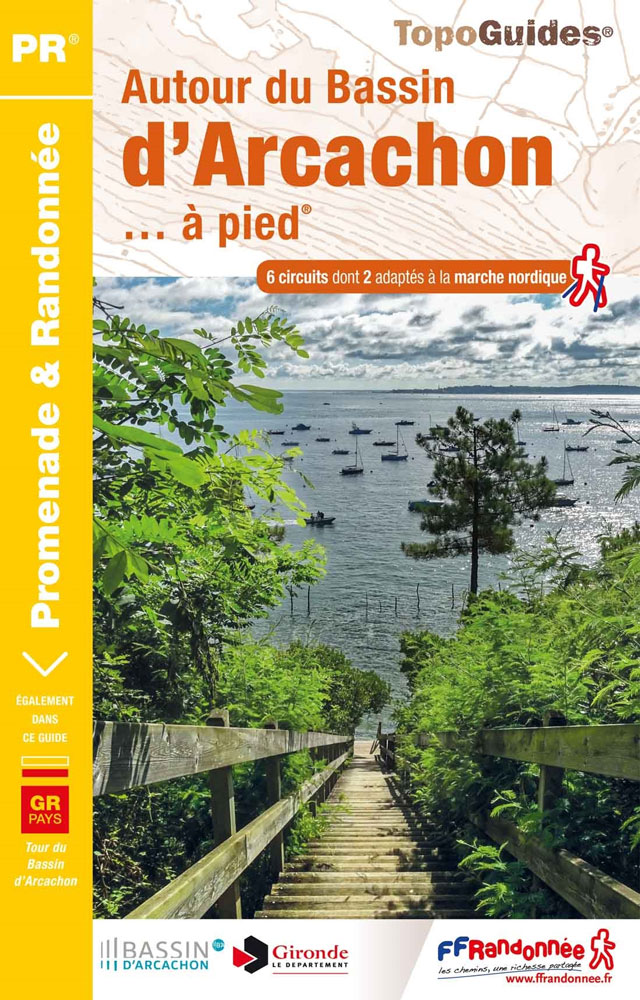
Autour du Bassin d`Arcachon ร pied, FFRP topoguide Ref. no. P331, with six local walks of varying length and difficulty, plus an 85km route around the basin. Each walk is presented on a separate colour extract from IGN’s topographic survey of France at 1:25,000, with its description cross-referenced to the map. Current edition of this
Les Ardennes ร pied D008
Les Ardennes ร pied, FFRP topo-guide Ref. No. D008, with 47 day walks of varying length and difficulty in the Department of Ardennes, mainly in the area north of Charleville-Mรฉziรจres around Rocroi, Fumay and Givet, and around Sedan. Each walk is presented on a separate colour extract from IGN’s topographic survey of France at 1:25,000
Drรดme ร pied du Vercors ร la Provence 50PR
La Drรดme ร pied, FFRP topo-guide Ref. No.D026, with 50 day walks of varying length and difficulty in the department of Drรดme between the Rhรดne and the foothills of the Alps. Each walk is presented on a separate colour extract from IGN’s topographic survey of France at 1:25,000, with its description cross-referenced to the map.
La Vienne ร pied
La Vienne ร pied, FFRP topo-guide Ref. No. D086, with 36 day walks of varying length and difficulty in the department of Vienne around Poitiers. Current edition of this title was published in August 2008.To see the list of other FFRP guides with day walks please click on the series link.ABOUT THE FFRP (Fรฉdรฉration franรงaise
Le Queyras et le Guillestrois ร pied
The Queyras and the Guillestrois on footExplore the Queyras Regional Natural Park to discover the richness of its fauna and flora.The Guillestrois also awaits you with its many assets: villages of character with an important heritage, rich and preserved natural environment, Vauban site classified UNESCO ‘ฆAlps (France)
Terra Salina ร pied FFRP Topo-guide No. RE21
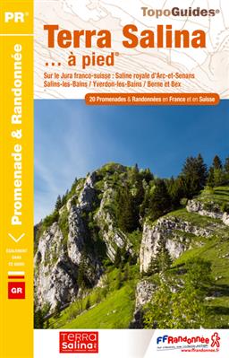
Terra Salina ร pied, FFRP topo-guide Ref. No. RE21, with 20 day walks in the French and Swiss Jura Mountains, plus a 90km section of the historical Via Salina route linking several old salt works and mines. Each day walk is presented on a separate colour extract from IGN’s topographic survey of France at 1:25,000,
Le Pays de Rennes ร pied
Le Pays de Rennes ร pied, FFRP topo-guide Ref. No. P352, with 50 walks of varying length and difficulty around Rennes. There are walks along the rivers Ille, Seiche and Vilaine and the Canal d`Ille et Rance, and two itineraries explore Rennes itself. Each walk is presented on a separate colour extract from IGN’s topographic
Gorges, Lacs et Plateaux du Verdon ร pied FFRP Topo-guide No. P042

Gorges, Lacs et Plateaux du Verdon ร pied, FFRP topo-guide Ref. No.P042, with 20 day walks of varying length and difficulty in the area around and north of the Verdon, including the famous Martel trail which descends to the bottom of the Grand Canyon, walks near Moustiers-Sainte-Marie, Lac de Ste-Croix, Castellane, etc. Each walk is
Les Gorges de la Loire ร pied
Les Gorges de la Loire ร pied, FFRP topo-guide Ref. No.P425, with 15 day walks of varying length and difficulty east of St-Etienne. The guide also includes a 28km long circuit along both banks of the river. Each walk is presented on a separate colour extract from IGN’s topographic survey of France at 1:25,000, with
Le Parc d`Armorique ร pied FFRP Topo-guide No. PN12
Le Parc d`Armorique ร pied, FFRP topo-guide Ref. No. PN12, with 43 day walks of varying length and difficulty in western Brittany. Current edition of this title was published in March 2016.To see the list of other FFRP guides with day walks please click on the series link.ABOUT THE FFRP (Fรฉdรฉration franรงaise de la randonnรฉe