Category Archives: Travel Guides
La Loire ร pied
La Loire ร pied, FFRP topo-guide ref. no. D042, one of the titles in an extensive series of light, A5-size, high quality paperback guides published by the Fรฉdรฉration Franรงaise de la Randonnรฉe Pรฉdestre in association with local authorities, ramblers’ clubs, etc. The guides have *colour extracts from the French topographic survey at 1:25,000 or 1:50,000
Le Lot ร pied
Le Lot ร pied, FFRP topo-guide Ref. No. D046, with 40 day walks of varying length and difficulty in the department of Lot in the heart of the Dordogne, near Gourdon, Figeac, etc. Coverage extends from the Dordogne River to south of Cahors. Current edition of this title was published in April 2016.To see the
La Haute-Loire ร pied
La Haute-Loire ร pied, FFRP topo-guide Ref. No.D043, with 43 day walks of varying length and difficulty in the department of Haute-Loire in southern Auvergne, centered on Le Puy-en-Velay. Each walk is presented on a separate colour extract from IGN’s topographic survey of France at 1:25,000, with its description cross-referenced to the map. Current edition
Les Hautes-Pyrรฉnรฉes ร pied
Les Hautes-Pyrรฉnรฉes ร pied, FFRP topo-guide Ref. No. D065, with 45 day walks of varying length and difficulty in the heart of the French Pyrenees, from north of Tarbes to the Pyrenees National Park near Gavarnie. Current edition of this title was published in February 2016.To see the list of other FFRP guides with day
La Guadeloupe et ses รฎles ร pied
La Guadeloupe et ses รฎles ร pied, FFRP topo-guide Ref. No. D971, with 49 day walks of varying length and difficulty, plus coverage of the 65km-long GR1 across the mountains of the Basse Terre. The day walks include two on Marie-Galante, one on La Dรฉsirade, and two on Les Saintes islands. Each walk is presented
Environs de Gap ร pied 46PR
Les Environs de Gap ร pied, FFRP topo-guide ref. no. P051, one of the titles in an extensive series of light, A5-size, high quality paperback guides published by the Fรฉdรฉration Franรงaise de la Randonnรฉe Pรฉdestre in association with local authorities, ramblers’ clubs, etc. The guides have *colour extracts from the French topographic survey at 1:25,000
Grenoble et ses environs ร pied P381
Grenoble et ses environs ร pied, FFRP topo-guide Ref. No. P381, with 35 day walks of varying length and difficulty both in the environs of Grenoble and in the city itself. Each walk is presented on a separate colour extract from IGN’s topographic survey of France at 1:25,000 or on a street plan, with its
Mรฉzenc – meygal et haute vallee de le Loire
Le Pays de la Loire Sauvage et du Mรฉzenc ร pied, FFRP topo-guide Ref. No.P435, with 26 day walks of varying length and difficulty in the region south-east of Le Puy-en-Velay. Each walk is presented on a separate colour extract from IGN’s topographic survey of France at 1:25,000, with its description cross-referenced to the map.
Val d`Azun ร pied ST10
Val d`Azun ร pied, FFRP topo-guide Ref. No. ST10, with 18 day walks of varying length and difficulty in the French Pyrenees south-west of Argelรจs-Gazost, plus a tour which includes part of the GR10 long-distance footpaths. Each walk is presented on a separate colour extract from IGN’s topographic survey of France at 1:25,000 and/or 1:50,000,
Volcans et lacs d`Auvergne – Pays du Val d`Allier GR30/GR41
Volcans et lacs d`Auvergne, FFRP topoguide Ref. no. 305, covering in all 886km of hiking trails across the volcanic landscape of the Auvergne west and south of Clermont-Ferrand, including sections of GR 30 and GR41. Current edition of this title was published in June 2014.ABOUT THE FFRP (Fรฉdรฉration franรงaise de la randonnรฉe pรฉdestre) TOPOGUIDES: published
Paris ร pied
Paris ร pied, FFRP topo-guide Ref. No. VI75, with three routes across Paris, highlighted on extracts from a street plan of the city and with descriptions of buildings and other locations illustrated with numerous colour photos. The three routes not only link some of the French capital’s best loved sights but also take the visitors
Sentier vers Saint-Jacques-de-Compostelle via Arles: Arles – Toulouse GR653
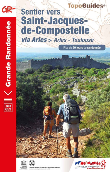
GR653: Chemins de St. Jacques from Arles to Toulouse, FFRP topo-guide Ref. No. 6533 in a new edition published in July 2019, with colour reproductions of IGN’s topographic mapping at 1:50,000. The guide covers the 465-km long Via Arletanensis route of the Way of St James in France from Arles across Montpellier and Cartres to
Le Parc national du Mercantour ร pied PN18
L`Aveyron ร pied, FFRP topo-guide Ref. No.D012, with 50 day walks of varying length and difficulty throughout the department of Ayveron. Each walk is presented on a separate colour extract from IGN’s topographic survey of France at 1:25,000, with its description cross-referenced to the map. Current edition of this title was published in February 2015.To
L’ile de la Reunion GRs R1/R2/R3
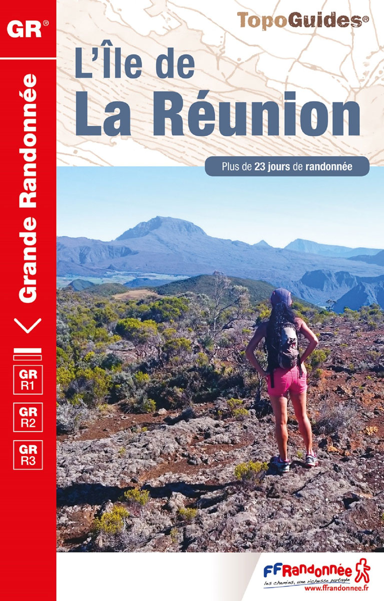
L’รฎle de L Rรฉunion. a French language topoguide from the Fรฉdรฉration Franรงaise de la Randonnรฉe Pรฉdestre as part of their extensive series of similar walking guides to France and its overseas departments. The guide covers three long-distance footpaths: GR R1 – Tour du Piton des Neiges, GR R2 from Basse-Vallรฉe to St Denis crossing the
Quartiers & histoires de Paris ร pied – 12 itinnรฉraires
Quartiers et histoires de Paris ร pied, FFRP topo-guide Ref. No. VI14, with 12 walks across Paris highlighting various aspects of the city’s history and architecture. The routes, each around 7.5km / 4.7 miles long, are part of the Panamรฉes scheme of free guided walks held every third Thursday of the month and organized by
Villes, Parcs et Forรชts des Hauts-de-Seine ร pied VI92
Villes, parcs et forรชts des Hauts-de-Seine ร pied, FFRP topo-guide Ref. No. VI92, with 25 walks in the western and south-western suburbs of Paris, presented with their descriptions cross-referenced to the accompanying colour maps. Current edition of this title was published in May 2011.To see all the FFRP guides to walks in the French capital
Autour du Bassin d`Arcachon ร pied
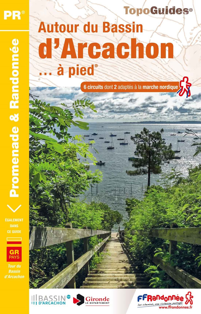
Autour du Bassin d`Arcachon ร pied, FFRP topoguide Ref. no. P331, with six local walks of varying length and difficulty, plus an 85km route around the basin. Each walk is presented on a separate colour extract from IGN’s topographic survey of France at 1:25,000, with its description cross-referenced to the map. Current edition of this
Les Ardennes ร pied D008
Les Ardennes ร pied, FFRP topo-guide Ref. No. D008, with 47 day walks of varying length and difficulty in the Department of Ardennes, mainly in the area north of Charleville-Mรฉziรจres around Rocroi, Fumay and Givet, and around Sedan. Each walk is presented on a separate colour extract from IGN’s topographic survey of France at 1:25,000