Category Archives: Travel Guides
Bressuire – Cerizay IGN 1525SB
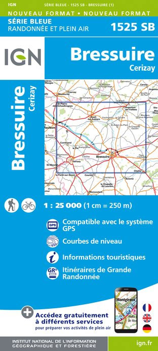
Topographic survey of France at 1:25,000 in IGN`s excellent TOP25 / Sรฉrie Bleue series. All the maps are GPS compatible, with a 1km UTM grid plus latitude and longitude lines at 5’ intervals. Contours are at 5m intervals except for mountainous areas where the maps have contours at 10m intervals, vividly enhanced by hill shading
Saint-Pierre-sur-Dives – Mezidon-Canon – Bretteville-sur-Laize IGN 1613SB
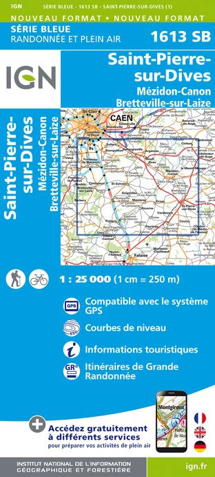
Topographic survey of France at 1:25,000 in IGN`s excellent TOP25 / Sรฉrie Bleue series. All the maps are GPS compatible, with a 1km UTM grid plus latitude and longitude lines at 5’ intervals. Contours are at 5m intervals except for mountainous areas where the maps have contours at 10m intervals, vividly enhanced by hill shading
Bauge-en-Anjou – Durtal IGN 1621SB
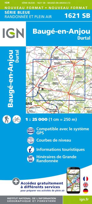
Topographic survey of France at 1:25,000 in IGN`s excellent TOP25 / Sรฉrie Bleue series. All the maps are GPS compatible, with a 1km UTM grid plus latitude and longitude lines at 5’ intervals. Contours are at 5m intervals except for mountainous areas where the maps have contours at 10m intervals, vividly enhanced by hill shading
Tours dans le Luberon et les Monts de Vaucluse
Le Parc du Lubรฉron ร pied, FFRP topo-guide Ref. No. PN01, with 27 day walks of varying length and difficulty in the Natural Park around Apt, Folcalquier and Manosque. Each walk is presented on a separate colour extract from IGN’s topographic survey of France at 1:25,000, with its description cross-referenced to the map. Current edition
Saumur – Doue-la-Fontaine IGN 1623SB
Topographic survey of France at 1:25,000 in IGN`s excellent TOP25 / Sรฉrie Bleue series. All the maps are GPS compatible, with a 1km UTM grid plus latitude and longitude lines at 5’ intervals. Contours are at 5m intervals except for mountainous areas where the maps have contours at 10m intervals, vividly enhanced by hill shading
Thouars – Le Puy-Notre-Dame – Montreuil-Bellay IGN 25K Sรฉrie Bleue Map 1624SB
Topographic survey of France at 1:25,000 in IGN`s excellent TOP25 / Sรฉrie Bleue series. All the maps are GPS compatible, with a 1km UTM grid plus latitude and longitude lines at 5’ intervals. Contours are at 5m intervals except for mountainous areas where the maps have contours at 10m intervals, vividly enhanced by hill shading
La presqu’รฎle de Crozon et la Vallee de l`Aulne P293
La presqu’รฎle de Crozon et ses environs ร pied, FFRP topo-guide Ref. No. P293, with 34 day walks of varying length and difficulty on the Crozon Peninsula in western Brittany. Each walk is presented on a separate colour extract from IGN’s topographic survey of France at 1:25,000, with its description cross-referenced to the map. Current
Thouars – Airvault IGN 25K Sรฉrie Bleue Map 1625SB
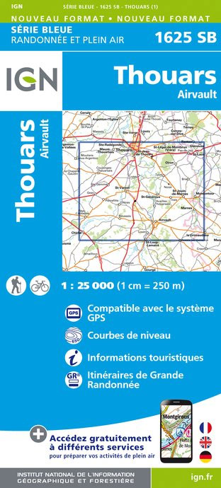
Topographic survey of France at 1:25,000 in IGN`s excellent TOP25 / Sรฉrie Bleue series. All the maps are GPS compatible, with a 1km UTM grid plus latitude and longitude lines at 5’ intervals. Contours are at 5m intervals except for mountainous areas where the maps have contours at 10m intervals, vividly enhanced by hill shading
France – Ways of St James IGN Map
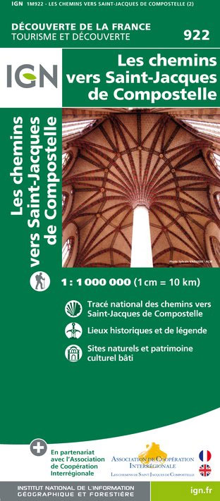
France: Ways of St James to Compostela Map from the IGN presents an overview of all the routes across France taken by pilgrims on their way to Santiago de Compostela and the tomb of the apostle St James – the greatest of all goals for thousands of pilgrims in Europe during the Middle Ages. The
Le Lude – Chateau-la-Valliere IGN 1721SB
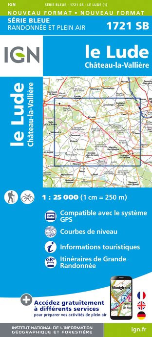
Topographic survey of France at 1:25,000 in IGN`s excellent TOP25 / Sรฉrie Bleue series. All the maps are GPS compatible, with a 1km UTM grid plus latitude and longitude lines at 5’ intervals. Contours are at 5m intervals except for mountainous areas where the maps have contours at 10m intervals, vividly enhanced by hill shading
Normandy D-Day – 6 June 1944 IGN Map

Commemorative map from the IGN for the 70th anniversary of the D-Day landings in Normandy on 6th June 1944, presenting in three large panels various grouping of the Allied Armies and the defending German forces, the changes in the front lines between 6th June and 18th August, and present day commemorative sites and monuments, plus
The Great War 1914 – 1918 IGN Wall Map
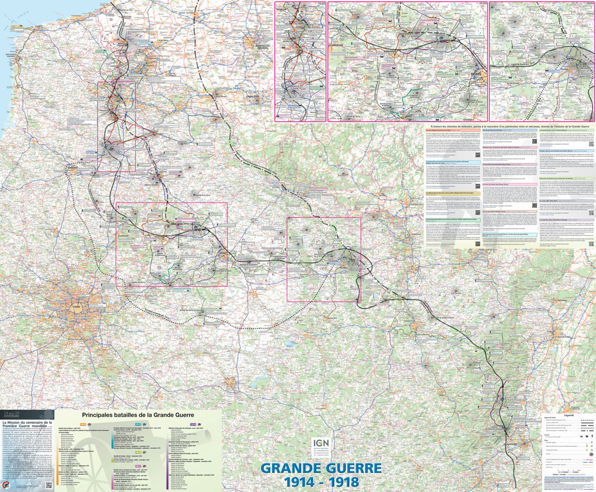
IGN’s excellent World War I commemorative map presented in an encapsulated, waterproof wall map format, size 121 x 100cm (46.5″ x 39.5″ approx). The map provides an overview of the Western Front supported by three more detailed enlargements of the main battlefields including the Somme area, and highlights 15 special Remembrance Trails, remaining trenches, numerous
Battle of Verdun 1916 IGN Map
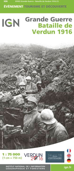
Commemorative map published by the IGN for the anniversary of the Battle of Verdun showing the front lines from 21st February to 18th December 1916, La Voie Sacrรฉe, plus present day remains, monuments and war cemeteries. The map was prepared by IGN in collaboration with La Maison du centenaire de la Premiรจre Guerre mondiale, Verdun
Volcan du Cantal et Pays de Saint-Flour – Haute-Auvergne GR400/4
Volcan du Cantal: Pays de Saint-Flour et de Ruynes-en-Margeride, FFRP topoguide, Ref. No. 400, covering 600kms of long-distance paths in the Cantal region of the Massif Central, which can also be walked as shorter circuits. Current edition of this title was published in July 2013.To see other titles in this series please click on the
Tour du Queyras GR58
Tour du Queyras, FFRP topoguide Ref. No. 505, covering in addition to the tour of this picturesque mountain range several other circular routes within the Parc Rรฉgional du Queyras. Current edition of this title was published in July 2015.ABOUT THE FFRP (Fรฉdรฉration franรงaise de la randonnรฉe pรฉdestre) TOPOGUIDES: published in a handy A5 paperback format,
Tour des Monts d`Aubrac GRP/GR60/GR6
Tour des Monts d`Aubrac, FFRP topoguide Ref. No. 616, covering 259kms of hiking circuits in the Massif Central along the GR6, GR60 and GR65. Current edition of this title was published in May 2016.ABOUT THE FFRP (Fรฉdรฉration franรงaise de la randonnรฉe pรฉdestre) TOPOGUIDES: published in a handy A5 paperback format, the guides are the best
Tour du Mont-Lozere et du Causse Mรฉjean GR6/GR68
Tours du Mont-Lozรจre et du Causse Mรฉjean, FFRP topo-guide Ref. No. 631, with the two circular tours, a 117-km Tour du Mont Lozรจre and a 111-km Tour du Causse Mรฉjean, plus additional trails along the GR7 and GR70.ABOUT THE FFRP (Fรฉdรฉration franรงaise de la randonnรฉe pรฉdestre) TOPOGUIDES: published in a handy A5 paperback format, the
L`Ardรจche ร pied D007
L`Ardรจche ร pied, FFRP topo-guide Ref. No.D007, with 46 day walks of varying length and difficulty in the department of Ardรจche in the Massif Central. Each walk is presented on a separate colour extract from IGN’s topographic survey of France at 1:25,000, with its description cross-referenced to the map. Current edition of this title was
Jura ร pied 46PR
Le Jura ร pied, FFRP topo-guide Ref. No. D039, with 46 day walks of varying length and difficulty in the department of Jura in the southern part of the Jura Mountains. Each walk is presented on a separate colour extract from IGN’s topographic survey of France at 1:25,000, with its description cross-referenced to the map.