Category Archives: Travel Guides
Zemplรฉn Mountains Atlas

Zemplรฉn Mountains Atlas from the Budapest-based Cartographia with detailed, contoured and GPS compatible mapping at 1:40,000, plus an extensive, Hungarian language guide section providing descriptions of numerous places of interest.The guide has detailed topographic maps at 1:40,000 with contours at 10m intervals enhanced by relief shading, plus colouring and graphics for different types of vegetation
Balaton Highlands & Keszthely Mountains Atlas

Balaton Highlands & Keszthely Mountains Atlas from the Budapest-based Cartographia with detailed, contoured and GPS compatible mapping at 1:40,000, plus an extensive, Hungarian language guide section providing descriptions of numerous places of interest.The guide has detailed topographic maps at 1:40,000 with contours at 10m intervals enhanced by relief shading, plus colouring and graphics for different
Matra Mountains Atlas
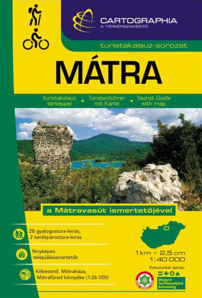
Matra Mountains Atlas from the Budapest-based Cartographia with detailed, contoured and GPS compatible mapping at 1:40,000, plus an extensive, Hungarian language guide section providing descriptions of numerous places of interest.The guide has detailed topographic maps at 1:40,000 with contours at 10m intervals enhanced by relief shading, plus colouring and graphics for different types of vegetation
Bhutan: Himalayan Mountain Kingdom

An up-to-date, in-depth introduction to Bhutanese history, culture and ecology, with a comprehensive itinerary ranging from the major cities to the most remote monasteries. Special sections on selected topics, literary excerpts, and gorgeous photographs make this an essential guide to this remote, pristine mountain kingdom. Shoe-horned into the Grand Himalayas, Bhutan–Land of the Peaceful Thunder
Doors

“The Asia Unique” series of books highlights the extraordinary diversity of Asia by focusing on one specific topic, photographed in its amazing variety by some of the finest travel photographers currently covering Asia. Throughout the books, inspirational quotes and proverbs from Asia, related to the specific book topic, compliment the stunning images. “DOORS” shows the
Now You See It, Now You Don`t and House of Cards
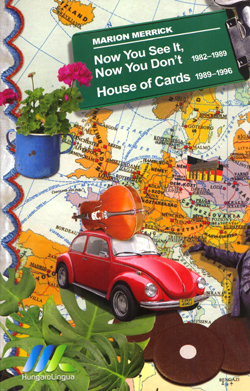
Now You See It, Now You Don’t (1982-1989) and House of Cards (1989-1996) is Marion Merrick’s dual volume personal account of life in Budapest, both pre and post the collapse of Soviet power. Now You See It, Now You Don’t (1982-1989) concentrates on a world encountered on the streets of Budapest which disappeared following the
Naxos
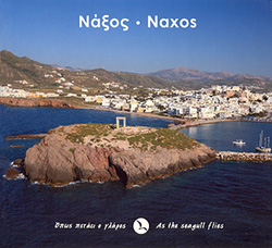
Part of a series of books from Anavasi publishing showing certain Greek Islands from an angle rarely seen by the human eye – from the air. Subtitled ‘As the seagull flies”, this book is full of wonderful full-colour aerial photographs of Naxos, allowing you to fully appreciate the character and landscape of this Mediterranean isle.See
Buda Hills Atlas
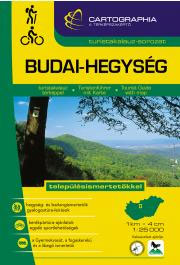
Buda Hills Atlas from the Budapest-based Cartographia with detailed, contoured and GPS compatible mapping at 1:25,000, plus an extensive, Hungarian language guide section providing descriptions of numerous places of interest.The guide has detailed topographic maps at 1:25,000 with contours at 10m intervals enhanced by relief shading, plus colouring and graphics for different types of vegetation
Dolphins and Whales of the Greek Seas
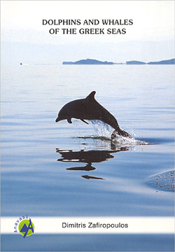
Dimitris Zafiropoulos’ book is an introduction to the world of dolphins and whales of the Greek Seas as well as an identification and field guide. It includes information on their geographical distribution, on how to find, study and identify dolphins and whales that are regularly observed in Greek waters.The book is a result of Zafiropoulos’
Gerecse – Vertes – Velence Mountains Atlas

Gerecse – Vรฉrtes – Velence Mountains Atlas from the Budapest-based Cartographia with detailed, contoured and GPS compatible mapping at 1:40,000 or 1:25,000, plus an extensive, Hungarian language guide section providing descriptions of numerous places of interest.The guide has detailed topographic maps at 1:25,000 and 1:40,000 with contours at 10m intervals enhanced by relief shading, plus
Paros
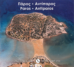
Part of a series of books from Anavasi publishing showing certain Greek Islands from an angle rarely seen by the human eye – from the air. Subtitled ‘As the seagull flies”, this book is full of wonderful full-colour aerial photographs of Paros, allowing you to fully appreciate the character and landscape of this Mediterranean isle.Paros
Hungarian National Long-distance Blue Trail (E4): Visegrad to Irott-ko

Hiking guide to the north-western section of Hungary’s National Blue Trail which forms part of the E4 European long-distance footpath. The guide covers the route from the historic town of Visegrรกd on the Danube, across the Buda Hills on the outskirts of Budapest and the Bakony Hills along the north-eastern shore of Lake Balaton, to
Mani – As the Seagull Flies
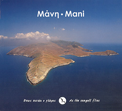
Part of a series of books from Anavasi publishing showing parts of Greek Islands from an angle rarely seen by the human eye – from the air. Subtitled ‘As the seagull flies”, this book is full of wonderful full-colour aerial photographs of Mani, allowing you to fully appreciate the character and landscape of this Mediterranean
Giona – Vardhousia – Parnassos GREEK
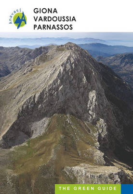
The new guide by Anavasi is the first of a new series called “Green Guides”. These guides will focus on the mountain regions of Greece. The aim of this small guide is to point out the beauty and unique qualities of the three mountains: Giona, Vardoussia and Parnassos. With photos and texts on the flora
Parnassus, Giona, Vardousia
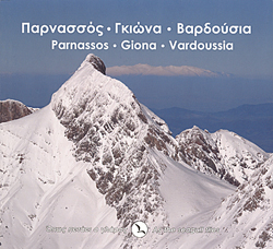
Part of a series of books from Anavasi publishing showing certain Greek landscapes from an angle rarely seen by the human eye – from the air. Subtitled ‘As the seagull flies”, this book is full of wonderful full-colour aerial photographs of Parnassus, Giona, and Vardousia, allowing you to fully appreciate the character and landscape of
Mt Penteli
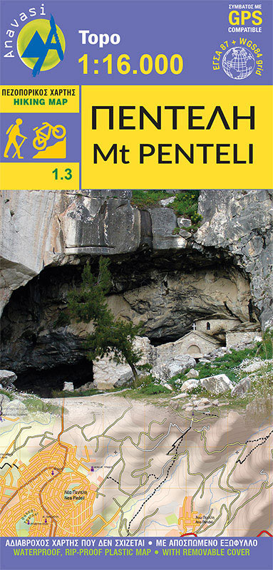
The new hiking map of Mt Penteli [1.3] by Anavasi in a scale 1:16 000 invites you to discover one of the mountains that delimit the Athens plain through hiking and cycling trails.Old quarries, caves and monuments, including the famous “lithagogias road” from where the Parthenon marbles were transported to the Acropolis are recorded on


