Category Archives: Travel Guides
Ste-Menehould – Valmy IGN 3013SB
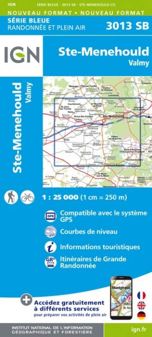
Topographic survey of France at 1:25,000 in IGN`s excellent TOP25 / Sรฉrie Bleue series. All the maps are GPS compatible, with a 1km UTM grid plus latitude and longitude lines at 5’ intervals. Contours are at 5m intervals except for mountainous areas where the maps have contours at 10m intervals, vividly enhanced by hill shading
Carignan – Mouzon IGN 3110SB
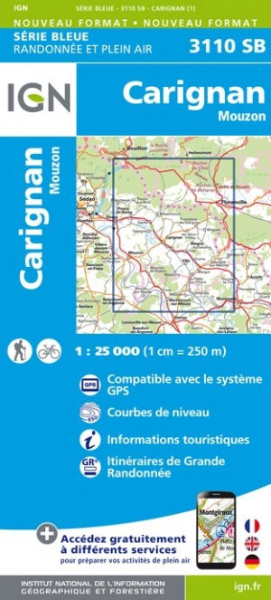
Topographic survey of France at 1:25,000 in IGN`s excellent TOP25 / Sรฉrie Bleue series. All the maps are GPS compatible, with a 1km UTM grid plus latitude and longitude lines at 5’ intervals. Contours are at 5m intervals except for mountainous areas where the maps have contours at 10m intervals, vividly enhanced by hill shading
Clermont-en-Argonne – Dugny-sur-Meuse IGN 3113SB
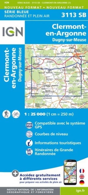
Topographic survey of France at 1:25,000 in IGN`s excellent TOP25 / Sรฉrie Bleue series. All the maps are GPS compatible, with a 1km UTM grid plus latitude and longitude lines at 5’ intervals. Contours are at 5m intervals except for mountainous areas where the maps have contours at 10m intervals, vividly enhanced by hill shading
Laguiole – Entraygues-sur-Truyere IGN 2437SB
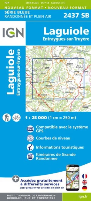
Topographic survey of France at 1:25,000 in IGN`s excellent TOP25 / Sรฉrie Bleue series. All the maps are GPS compatible, with a 1km UTM grid plus latitude and longitude lines at 5’ intervals. Contours are at 5m intervals except for mountainous areas where the maps have contours at 10m intervals, vividly enhanced by hill shading
Montrevel-en-Bresse – Marboz IGN 3128SB
Topographic survey of France at 1:25,000 in IGN`s excellent TOP25 / Sรฉrie Bleue series. All the maps are GPS compatible, with a 1km UTM grid plus latitude and longitude lines at 5’ intervals. Contours are at 5m intervals except for mountainous areas where the maps have contours at 10m intervals, vividly enhanced by hill shading
Bray-sur-Seine – Sergines – Trainel IGN 2617SB
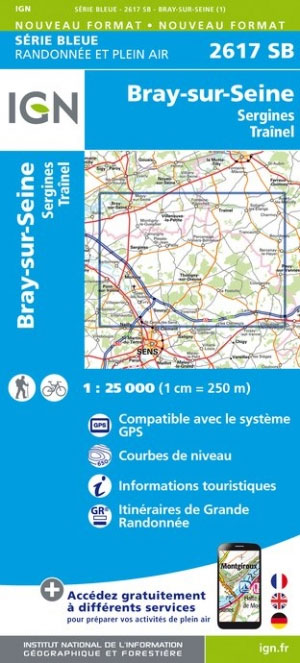
Topographic survey of France at 1:25,000 in IGN`s excellent TOP25 / Sรฉrie Bleue series. All the maps are GPS compatible, with a 1km UTM grid plus latitude and longitude lines at 5’ intervals. Contours are at 5m intervals except for mountainous areas where the maps have contours at 10m intervals, vividly enhanced by hill shading
Amberieu-en-Bugey – Meximieux IGN 3130SB
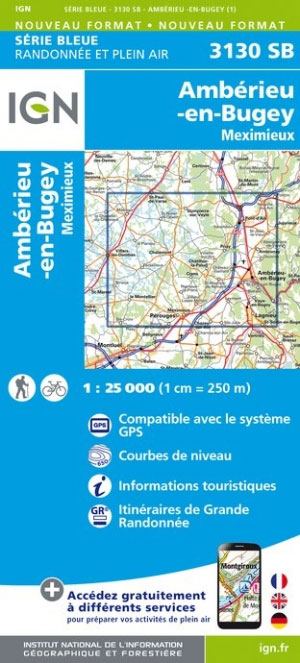
Topographic survey of France at 1:25,000 in IGN`s excellent TOP25 / Sรฉrie Bleue series. All the maps are GPS compatible, with a 1km UTM grid plus latitude and longitude lines at 5’ intervals. Contours are at 5m intervals except for mountainous areas where the maps have contours at 10m intervals, vividly enhanced by hill shading
Saint-Pourcain-sur-Sioule – Jaligny-sur-Besbre IGN 2628SB
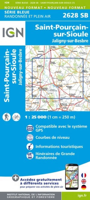
Topographic survey of France at 1:25,000 in IGN`s excellent TOP25 / Sรฉrie Bleue series. All the maps are GPS compatible, with a 1km UTM grid plus latitude and longitude lines at 5’ intervals. Contours are at 5m intervals except for mountainous areas where the maps have contours at 10m intervals, vividly enhanced by hill shading
Meyzieu – Cremieu – Montluel IGN 3131SB
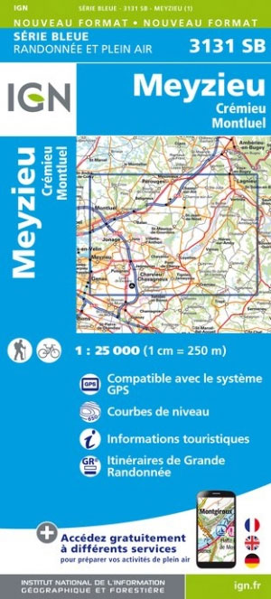
Topographic survey of France at 1:25,000 in IGN`s excellent TOP25 / Sรฉrie Bleue series. All the maps are GPS compatible, with a 1km UTM grid plus latitude and longitude lines at 5’ intervals. Contours are at 5m intervals except for mountainous areas where the maps have contours at 10m intervals, vividly enhanced by hill shading
Maringues – Saint-Yorre IGN 2630SB
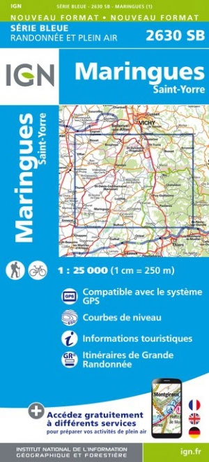
Topographic survey of France at 1:25,000 in IGN`s excellent TOP25 / Sรฉrie Bleue series. All the maps are GPS compatible, with a 1km UTM grid plus latitude and longitude lines at 5’ intervals. Contours are at 5m intervals except for mountainous areas where the maps have contours at 10m intervals, vividly enhanced by hill shading
Aix-en-Provence – Vitrolles – Lambesc IGN 3143ET
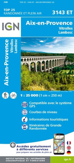
Topographic survey of France at 1:25,000 in IGN`s excellent TOP25 / Sรฉrie Bleue series. All the maps are GPS compatible, with a 1km UTM grid plus latitude and longitude lines at 5’ intervals. Contours are at 5m intervals except for mountainous areas where the maps have contours at 10m intervals, vividly enhanced by hill shading
Thiers – Pont-du-Chateau IGN 2631SB
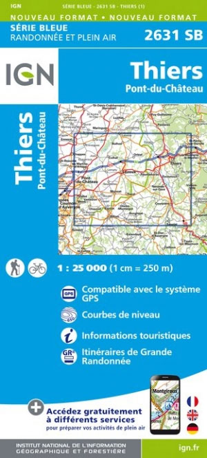
Topographic survey of France at 1:25,000 in IGN`s excellent TOP25 / Sรฉrie Bleue series. All the maps are GPS compatible, with a 1km UTM grid plus latitude and longitude lines at 5’ intervals. Contours are at 5m intervals except for mountainous areas where the maps have contours at 10m intervals, vividly enhanced by hill shading
Estissac – Marigny-le-Chatel IGN 2717SB
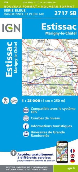
Topographic survey of France at 1:25,000 in IGN`s excellent TOP25 / Sรฉrie Bleue series. All the maps are GPS compatible, with a 1km UTM grid plus latitude and longitude lines at 5’ intervals. Contours are at 5m intervals except for mountainous areas where the maps have contours at 10m intervals, vividly enhanced by hill shading
Dompierre-sur-Besbre – Molinet IGN 2727SB
Topographic survey of France at 1:25,000 in IGN`s excellent TOP25 / Sรฉrie Bleue series. All the maps are GPS compatible, with a 1km UTM grid plus latitude and longitude lines at 5’ intervals. Contours are at 5m intervals except for mountainous areas where the maps have contours at 10m intervals, vividly enhanced by hill shading
Vic-en-Bigorre – Mielan IGN 1744SB
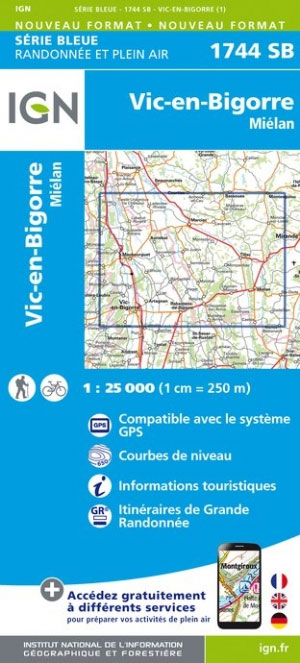
Topographic survey of France at 1:25,000 in IGN`s excellent TOP25 / Sรฉrie Bleue series. All the maps are GPS compatible, with a 1km UTM grid plus latitude and longitude lines at 5’ intervals. Contours are at 5m intervals except for mountainous areas where the maps have contours at 10m intervals, vividly enhanced by hill shading
Tarbes – Montastruc IGN 1745SB
Topographic survey of France at 1:25,000 in IGN`s excellent TOP25 / Sรฉrie Bleue series. All the maps are GPS compatible, with a 1km UTM grid plus latitude and longitude lines at 5’ intervals. Contours are at 5m intervals except for mountainous areas where the maps have contours at 10m intervals, vividly enhanced by hill shading
Neouvielle – Vallee d`Aure – Parc National des Pyrenees IGN 1748ET
Topographic survey of France at 1:25,000 in IGN`s excellent TOP25 / Sรฉrie Bleue series. All the maps are GPS compatible, with a 1km UTM grid plus latitude and longitude lines at 5’ intervals. Contours are at 5m intervals except for mountainous areas where the maps have contours at 10m intervals, vividly enhanced by hill shading
Pont-Audemer – Tancarville – PNR des Boucles de la Seine Normande IGN 1811OT
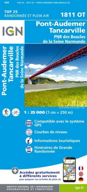
Topographic survey of France at 1:25,000 in IGN`s excellent TOP25 / Sรฉrie Bleue series. All the maps are GPS compatible, with a 1km UTM grid plus latitude and longitude lines at 5’ intervals. Contours are at 5m intervals except for mountainous areas where the maps have contours at 10m intervals, vividly enhanced by hill shading
Mirande – Masseube IGN 1844SB
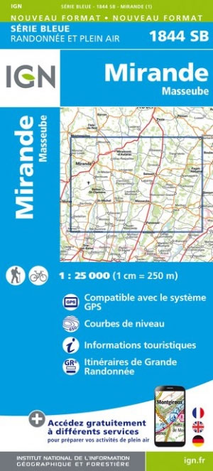
Topographic survey of France at 1:25,000 in IGN`s excellent TOP25 / Sรฉrie Bleue series. All the maps are GPS compatible, with a 1km UTM grid plus latitude and longitude lines at 5’ intervals. Contours are at 5m intervals except for mountainous areas where the maps have contours at 10m intervals, vividly enhanced by hill shading
Mont-de-Marsan – St-Sever IGN 1542SB
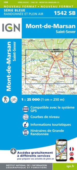
Topographic survey of France at 1:25,000 in IGN`s excellent TOP25 / Sรฉrie Bleue series. All the maps are GPS compatible, with a 1km UTM grid plus latitude and longitude lines at 5’ intervals. Contours are at 5m intervals except for mountainous areas where the maps have contours at 10m intervals, vividly enhanced by hill shading