Category Archives: Travel Guides
Jersey Flexi Map SUPERCEDED

This innovative series of laminated maps includes text and photography describing the destination`s top sights and lists useful addresses and essential contacts. The laminated finish is waterproof, hard-wearing, durable, scribble-free and tear resistant. The maps are easy-to-use and fold even when it`s windy and are ideal for short-break, fly-drive and package holidays.
Friendly Fire: Ten Tales of Today`s Cairo

Nine short stories and a novella make up this latest offering by Alaa Al Aswany, author of “The Yacoubian Building”. As in that novel, Al Aswany dissects modern Egyptian society and reveals with skill and detachment the hypocrisy, violence, and abuse of power characteristic of a world in moral crisis. Here, though, the focus has
Zemplรฉn Mountains Atlas

Zemplรฉn Mountains Atlas from the Budapest-based Cartographia with detailed, contoured and GPS compatible mapping at 1:40,000, plus an extensive, Hungarian language guide section providing descriptions of numerous places of interest.The guide has detailed topographic maps at 1:40,000 with contours at 10m intervals enhanced by relief shading, plus colouring and graphics for different types of vegetation
Balaton Highlands & Keszthely Mountains Atlas

Balaton Highlands & Keszthely Mountains Atlas from the Budapest-based Cartographia with detailed, contoured and GPS compatible mapping at 1:40,000, plus an extensive, Hungarian language guide section providing descriptions of numerous places of interest.The guide has detailed topographic maps at 1:40,000 with contours at 10m intervals enhanced by relief shading, plus colouring and graphics for different
Matra Mountains Atlas
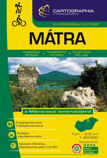
Matra Mountains Atlas from the Budapest-based Cartographia with detailed, contoured and GPS compatible mapping at 1:40,000, plus an extensive, Hungarian language guide section providing descriptions of numerous places of interest.The guide has detailed topographic maps at 1:40,000 with contours at 10m intervals enhanced by relief shading, plus colouring and graphics for different types of vegetation
Aggtelek – Gรถmรถr – Torna Karst & Cserehรกt Atlas
Aggtelek – Gรถmรถr – Torna Karst & Cserehรกt Atlas from the Budapest-based Cartographia with detailed, contoured and GPS compatible mapping at 1:40,000, plus an extensive, Hungarian language guide section providing descriptions of numerous places of interest.The guide has detailed topographic maps at 1:40,000 with contours at 10m intervals enhanced by relief shading, plus colouring and
Romania – Rock Climbing
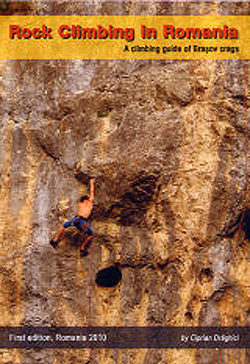
The Romania Rock-Climbing guide describes the 17 climbing areas around Brasov in central Romania – the guide describes over 700 routes, contains a comprehensive set of photo-topos as well as Rockfax style symbols giving the character of both the route and the climbing style. The guide also contains GPS coordinates for each crag, detailed approach
Rodnei Mountains Hiking Map and Guide

Rodnei Mountains at 1:50,000 from Bel Alpin on a contoured walking map with a 32-page guide providing descriptions of 23 hiking routes and 51km-long traverse along the ridge route across the whole lengths of the chain.The map has contours at 40m intervals with additional shading and colouring for woodlands. An overprint highlight hiking routes, indicating
Fagaras Mountains Hiking Map and Guide
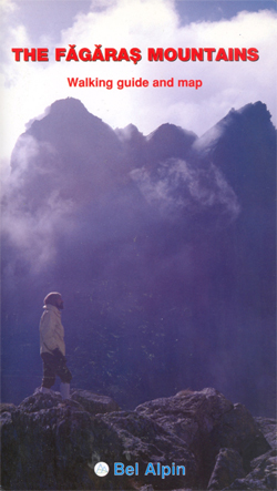
Fagaras Mountains at 1:75,000 from Bel Alpin on a contoured walking map with a 64-page guide providing descriptions of 56 hiking routes and 90km traverse along the ridge route across the whole lengths of the chain.The map has contours at 100m intervals with additional shading and graphic relief for rocky ridges and outcrops, plus colouring
The Homecoming
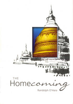
A renowned novelist once wrote that one `can never go home again`, but as the author demonstrates in this delightful and subtle account, such is not the case: we can and should cherish our past and, from time to time, we must reaffirm our roots. O`Hara`s homecoming to Burma, as he gives us glimpses into
Frontier Mosaic – Voices of Burma from the Lands in Between
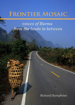
To the long-suffering Burmese people and particularly to the frontier minorities, the Thai border represents a potential escape from poverty and government repression, and a chance for a better life. Despite the natural hospitality of many Thai people and the efforts of individuals and NGOs involved in support programs, the reality of life in the
Sacred Sites of Burma
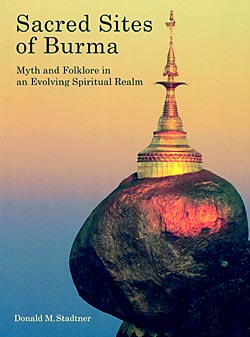
Sacred Sites of Burma, Myth and Folklore in an Evolving Spiritual Realm, by Donald M. Stadtner, is an exploration of the many facets of Buddhism: art, archaeology, history and belief. With 348 pages, 482 colour illustration and 12 maps and plans, Stadtner helps uncover the development of the myths surrounding sacred places such as Yangon
Thai Folk Wisdom
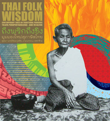
This dual language book brings to life fifty proverbs and sayings from Thailand with great creative flair. Each proverb is interpreted with an abundance of vibrant pizzazz reflecting modern Thai culture. Under the direction of designer Tulaya Pornpiriyakulchai, sensational visuals have been provided by some of Thailand`s leading contemporary artists from Manit Sriwanichpoom and Pinaree
Hungarian National Long-distance Blue Trail (E7): Irott-ko to Szekszard

Hiking guide to the western section of Hungary’s National Blue Trail, including part of the E7 European long-distance footpath. The guide covers the route from รrott-ko in the Koszegi range on the Austrian border, across the Orsรฉg National Park and the Mecsek Hills near Pรฉcs, to Szekszรกrd. At the border crossing with Slovakia near Magyarszomnatfa
Early Thailand
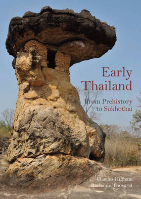
Dramatic new archaeological discoveries over the past ten years demand a new look at Thailand`s past. Drawing on his previous work, Prehistoric Thailand, this book with over 40% new material, covers the history of the kingdom from the first human settlement to the earliest civilisation and gives a fresh appraisal of early hunters and gatherers,
Bakony and Somlรณ Mountains Atlas

Bakony and Somlรณ Mountains Atlas from the Budapest-based Cartographia with detailed, contoured and GPS compatible mapping at 1:25,000, plus an extensive, Hungarian language guide section providing descriptions of numerous places of interest.The guide has detailed topographic maps at 1:40,000 with contours at 10m intervals enhanced by relief shading, plus colouring and graphics for different types
Bangkok Found
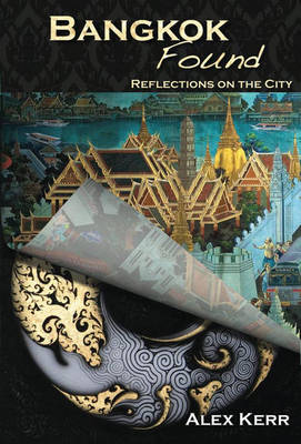
Evocative and incisive, Bangkok Found looks deep within traditional culture to discover how Bangkok is like no other contemporary city. It`s the book you read after you`ve seen the temples and enjoyed the nightlife – and then start to wonder where the mysterious appeal of Bangkok really lies. With wit and a wealth of anecdotes
Bรถrzsรถny Mountains Atlas
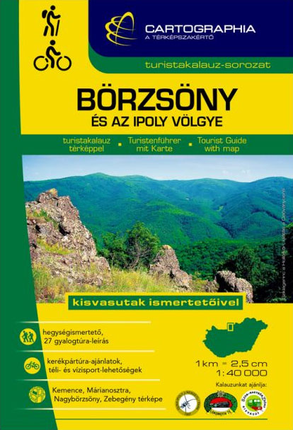
Bรถrzsรถny Mountains Atlas from the Budapest-based Cartographia with detailed, contoured and GPS compatible mapping at 1:40,000, plus an extensive, Hungarian language guide section providing descriptions of numerous places of interest.The guide has detailed topographic maps at 1:40,000 with contours at 10m intervals enhanced by relief shading, plus colouring and graphics for different types of vegetation


