Category Archives: Travel Guides
Firminy – Saint-Bonnet-le-Chateau IGN 2833SB
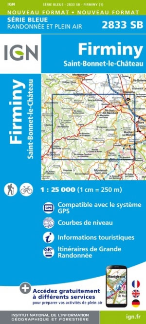
Topographic survey of France at 1:25,000 in IGN`s excellent TOP25 / Sรฉrie Bleue series. All the maps are GPS compatible, with a 1km UTM grid plus latitude and longitude lines at 5’ intervals. Contours are at 5m intervals except for mountainous areas where the maps have contours at 10m intervals, vividly enhanced by hill shading
Brioude – Paulhaguet IGN 2634SB
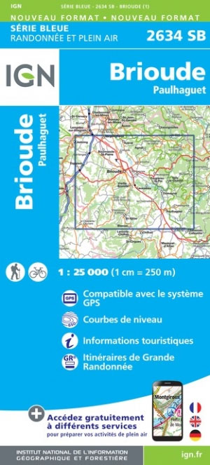
Topographic survey of France at 1:25,000 in IGN`s excellent TOP25 / Sรฉrie Bleue series. All the maps are GPS compatible, with a 1km UTM grid plus latitude and longitude lines at 5’ intervals. Contours are at 5m intervals except for mountainous areas where the maps have contours at 10m intervals, vividly enhanced by hill shading
Monistrol-sur-Loire – Retournac IGN 2834SB
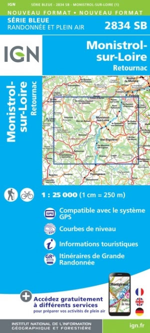
Topographic survey of France at 1:25,000 in IGN`s excellent TOP25 / Sรฉrie Bleue series. All the maps are GPS compatible, with a 1km UTM grid plus latitude and longitude lines at 5’ intervals. Contours are at 5m intervals except for mountainous areas where the maps have contours at 10m intervals, vividly enhanced by hill shading
Langeac – Lavoute-Chilhac IGN 2635SB
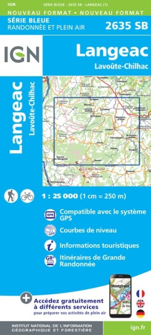
Topographic survey of France at 1:25,000 in IGN`s excellent TOP25 / Sรฉrie Bleue series. All the maps are GPS compatible, with a 1km UTM grid plus latitude and longitude lines at 5’ intervals. Contours are at 5m intervals except for mountainous areas where the maps have contours at 10m intervals, vividly enhanced by hill shading
Lodeve – Bedarieux – Lac de Salagou IGN 2643OT
Topographic survey of France at 1:25,000 in IGN`s excellent TOP25 / Sรฉrie Bleue series. All the maps are GPS compatible, with a 1km UTM grid plus latitude and longitude lines at 5’ intervals. Contours are at 5m intervals except for mountainous areas where the maps have contours at 10m intervals, vividly enhanced by hill shading
Pezenas – Murviel-les-Beziers IGN 2644OT
Topographic survey of France at 1:25,000 in IGN`s excellent TOP25 / Sรฉrie Bleue series. All the maps are GPS compatible, with a 1km UTM grid plus latitude and longitude lines at 5’ intervals. Contours are at 5m intervals except for mountainous areas where the maps have contours at 10m intervals, vividly enhanced by hill shading
Foret de Mormal IGN 2706OT
Topographic survey of France at 1:25,000 in IGN`s excellent TOP25 / Sรฉrie Bleue series. All the maps are GPS compatible, with a 1km UTM grid plus latitude and longitude lines at 5’ intervals. Contours are at 5m intervals except for mountainous areas where the maps have contours at 10m intervals, vividly enhanced by hill shading
Laon – Sissonne IGN 2710SB
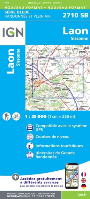
Topographic survey of France at 1:25,000 in IGN`s excellent TOP25 / Sรฉrie Bleue series. All the maps are GPS compatible, with a 1km UTM grid plus latitude and longitude lines at 5’ intervals. Contours are at 5m intervals except for mountainous areas where the maps have contours at 10m intervals, vividly enhanced by hill shading
Sezanne – Connantre IGN 2715SB
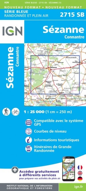
Topographic survey of France at 1:25,000 in IGN`s excellent TOP25 / Sรฉrie Bleue series. All the maps are GPS compatible, with a 1km UTM grid plus latitude and longitude lines at 5’ intervals. Contours are at 5m intervals except for mountainous areas where the maps have contours at 10m intervals, vividly enhanced by hill shading
Arlanc – Saint-Antheme IGN 2733SB
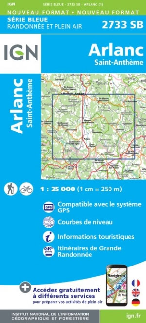
Topographic survey of France at 1:25,000 in IGN`s excellent TOP25 / Sรฉrie Bleue series. All the maps are GPS compatible, with a 1km UTM grid plus latitude and longitude lines at 5’ intervals. Contours are at 5m intervals except for mountainous areas where the maps have contours at 10m intervals, vividly enhanced by hill shading
Craponne-sur-Arzon – Allegre – la Chaise-Dieu IGN 2734SB
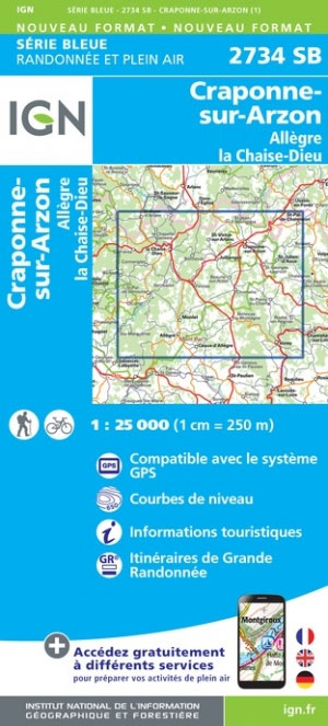
Topographic survey of France at 1:25,000 in IGN`s excellent TOP25 / Sรฉrie Bleue series. All the maps are GPS compatible, with a 1km UTM grid plus latitude and longitude lines at 5’ intervals. Contours are at 5m intervals except for mountainous areas where the maps have contours at 10m intervals, vividly enhanced by hill shading
le Puy-en-Velay – Loudes IGN 2735SB
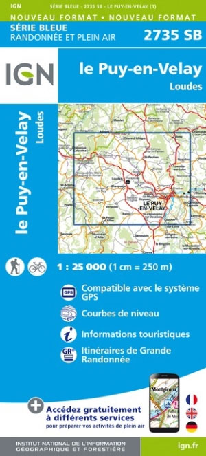
Topographic survey of France at 1:25,000 in IGN`s excellent TOP25 / Sรฉrie Bleue series. All the maps are GPS compatible, with a 1km UTM grid plus latitude and longitude lines at 5’ intervals. Contours are at 5m intervals except for mountainous areas where the maps have contours at 10m intervals, vividly enhanced by hill shading
Solignac-sur-Loire – Cayres – Monistrol-d`Allier IGN 2736SB
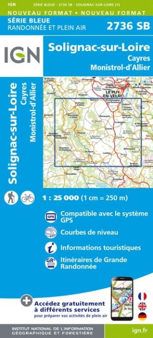
Topographic survey of France at 1:25,000 in IGN`s excellent TOP25 / Sรฉrie Bleue series. All the maps are GPS compatible, with a 1km UTM grid plus latitude and longitude lines at 5’ intervals. Contours are at 5m intervals except for mountainous areas where the maps have contours at 10m intervals, vividly enhanced by hill shading
Langogne – Grandrieu IGN 2737SB

Topographic survey of France at 1:25,000 in IGN`s excellent TOP25 / Sรฉrie Bleue series. All the maps are GPS compatible, with a 1km UTM grid plus latitude and longitude lines at 5’ intervals. Contours are at 5m intervals except for mountainous areas where the maps have contours at 10m intervals, vividly enhanced by hill shading
Pleaux – Saint-Cernin – Salers IGN 2335SB
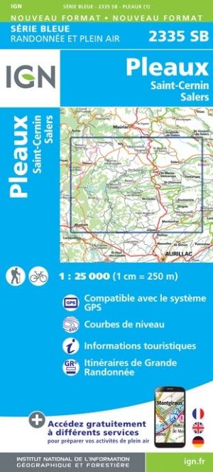
Topographic survey of France at 1:25,000 in IGN`s excellent TOP25 / Sรฉrie Bleue series. All the maps are GPS compatible, with a 1km UTM grid plus latitude and longitude lines at 5’ intervals. Contours are at 5m intervals except for mountainous areas where the maps have contours at 10m intervals, vividly enhanced by hill shading
Saint-Chinian – l`Etang de Montady IGN 2545OT
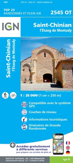
Topographic survey of France at 1:25,000 in IGN`s excellent TOP25 / Sรฉrie Bleue series. All the maps are GPS compatible, with a 1km UTM grid plus latitude and longitude lines at 5’ intervals. Contours are at 5m intervals except for mountainous areas where the maps have contours at 10m intervals, vividly enhanced by hill shading
Aurillac – Laroquebrou IGN 2336SB
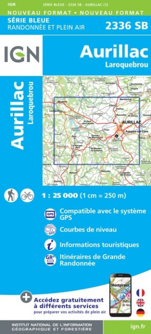
Topographic survey of France at 1:25,000 in IGN`s excellent TOP25 / Sรฉrie Bleue series. All the maps are GPS compatible, with a 1km UTM grid plus latitude and longitude lines at 5’ intervals. Contours are at 5m intervals except for mountainous areas where the maps have contours at 10m intervals, vividly enhanced by hill shading
Carcassonne – Alzonne IGN 2345SB
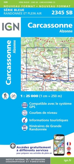
Topographic survey of France at 1:25,000 in IGN`s excellent TOP25 / Sรฉrie Bleue series. All the maps are GPS compatible, with a 1km UTM grid plus latitude and longitude lines at 5’ intervals. Contours are at 5m intervals except for mountainous areas where the maps have contours at 10m intervals, vividly enhanced by hill shading
Limoux – Cazilhac IGN 2346SB

Topographic survey of France at 1:25,000 in IGN`s excellent TOP25 / Sรฉrie Bleue series. All the maps are GPS compatible, with a 1km UTM grid plus latitude and longitude lines at 5’ intervals. Contours are at 5m intervals except for mountainous areas where the maps have contours at 10m intervals, vividly enhanced by hill shading
Dammartin-en-Goele – le Bourget IGN 2413OT
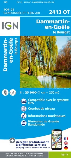
Topographic survey of France at 1:25,000 in IGN`s excellent TOP25 / Sรฉrie Bleue series. All the maps are GPS compatible, with a 1km UTM grid plus latitude and longitude lines at 5’ intervals. Contours are at 5m intervals except for mountainous areas where the maps have contours at 10m intervals, vividly enhanced by hill shading