Category Archives: Travel Guides
Sound & Light Signal Flip Cards (0064)
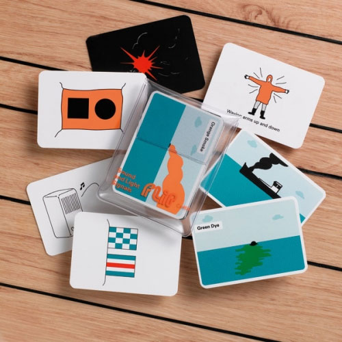
This pack of Flip Cards illustrates the signals made by ships at sea, and covers lights, fog signals and the usual distress and search and rescue signals. They differ from the Lights and Shapes cards in that they show signals rather than navigation signs. The meaning is shown on the back of the card as
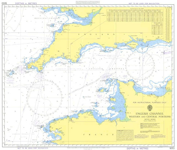
Instructional Chart 5053 – English Channel – Western and Central Portions
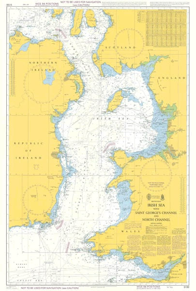
Instructional Chart 5130 – Irish Sea with Saint George`s Channel and North Channel
Stanfords Long Acre Cotton Bag

Carry a bit of Stanfords’ history around with you with our canvas shopper featuring an early 1900s illustration of our London Long Acre store with its striking Dutch-gable faรงade.On the reverse is a vintage style advert reading: ‘Edward Stanford Ltd purveyors of maps, globes, travel guides and other wondrous travel related paraphernalia’This bag is made
Stanford`s London 1862 Gift Wrap
Mariners` Routeing Guide 5500 – English Channel and Southern North Sea
NEW EDITION OUT ON 27/05/2021Routeing Guides provide important passage planning information in addition to details of traffic separation schemes for the major shipping areas of the English Channel, North Sea, Gulf of Suez, Malacca and Singapore Straits.
Mariners` Routeing Guide 5501 – Gulf of Suez
Routeing Guides provide important passage planning information in addition to details of traffic separation schemes for the major shipping areas of the English Channel, North Sea, Gulf of Suez, Malacca and Singapore Straits.
Mariners` Routeing Guide 5503 – Baltic Sea
NEW EDITION OUT ON 27/05/2021Routeing Guides provide important passage planning information in addition to details of traffic separation schemes for the major shipping areas of the English Channel, North Sea, Gulf of Suez, Malacca and Singapore Straits.
Admiralty Chart 2897 – Iceland
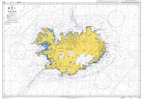
Admiralty standard nautical charts comply with Safety of Life at Sea (SOLAS) regulations and are ideal for professional, commercial and recreational use. Charts within the series consist of a range of scales, useful for passage planning, ocean crossings, coastal navigation and entering port.Standard Admiralty charts are folded to fit in a chart table drawer. If
Mariners` Routeing Guide 5521 – Irish Sea
Routeing Guides provide important passage planning information in addition to details of traffic separation schemes for the major shipping areas of the English Channel, North Sea, Gulf of Suez, Malacca and Singapore Straits.
Mariners` Routeing Guide 5522 – West Coast of Scotland to Pentland Firth
Routeing Guides provide important passage planning information in addition to details of traffic separation schemes for the major shipping areas of the English Channel, North Sea, Gulf of Suez, Malacca and Singapore Straits.
Mariners` Routeing Guide 5525 – Malacca Strait
Routeing Guides provide important passage planning information in addition to details of traffic separation schemes for the major shipping areas of the English Channel, North Sea, Gulf of Suez, Malacca and Singapore Straits.Additional Mariners` Routeing Guides for this area:BA5524 – Singapore Strait, Western PartBA5527 – Singapore Strait, Eastern Part


